Ayrshire
Historic County in
Scotland
Ayrshire

Ayrshire is a historic county located in the southwestern part of Scotland. It is bordered by the counties of Renfrewshire and Lanarkshire to the north, Lanarkshire and Dumfriesshire to the east, and Wigtownshire to the south. The county stretches along the Firth of Clyde and encompasses a diverse landscape of rolling hills, fertile farmland, and picturesque coastline.
Ayrshire has a rich history dating back to the prehistoric era, with evidence of settlements and ancient burial sites scattered throughout the region. It played a significant role in Scotland's history, being the birthplace of Robert the Bruce, the renowned Scottish king who led the country to victory in the Wars of Independence against England in the 14th century.
The county is known for its agricultural heritage, with dairy farming being a prominent industry. Ayrshire cattle, a distinctive breed known for its excellent milk production, originated in the county. The fertile soil also supports a variety of crops, including barley, oats, and potatoes.
Ayrshire is dotted with charming towns and villages that offer glimpses into its past. The town of Ayr, the county's largest settlement, is home to historic buildings such as the Auld Kirk and the Burns Monument, dedicated to the famous Scottish poet Robert Burns, who was born in the nearby village of Alloway. Other notable attractions include Culzean Castle, a stunning cliff-top mansion, and the popular seaside resort town of Troon.
Overall, Ayrshire is a region steeped in history, natural beauty, and agricultural traditions, making it a captivating destination for both residents and visitors alike.
If you have any feedback on the listing, please let us know in the comments section below.
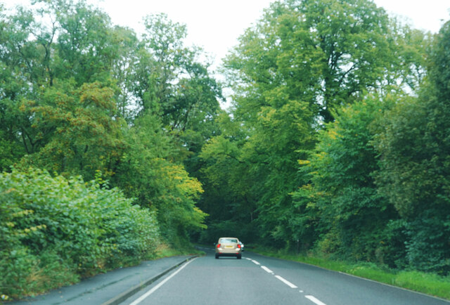
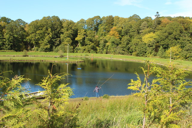
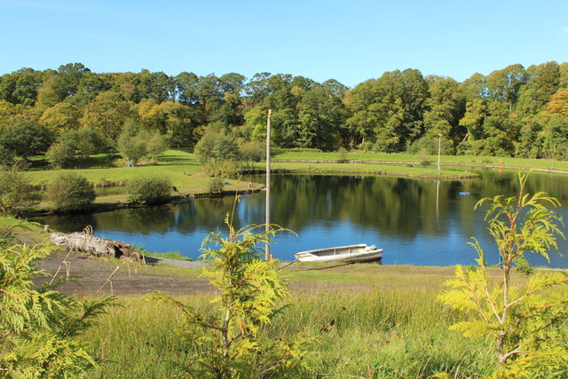
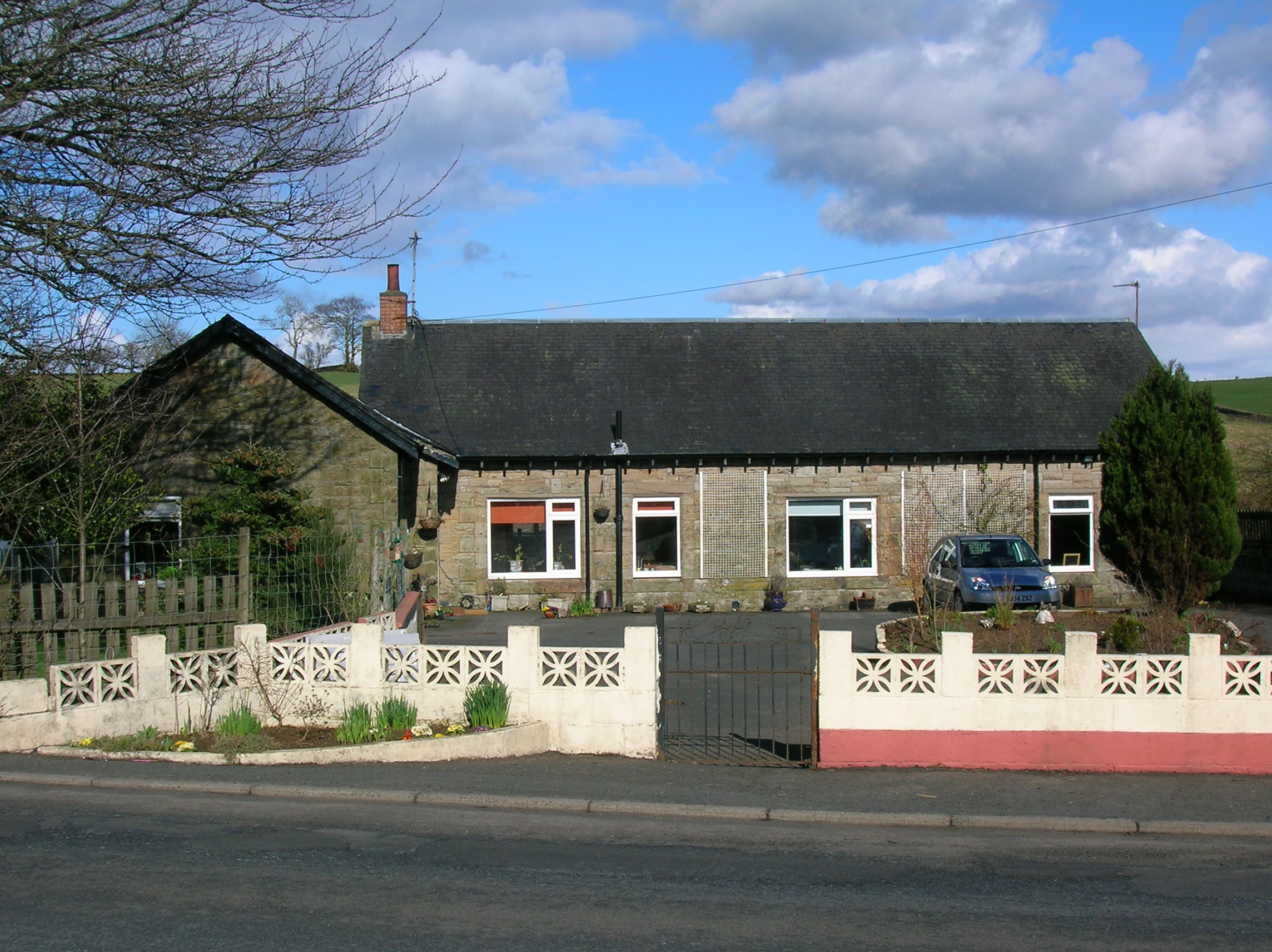
Ayrshire Images
Images are sourced within 2km of 55.4354/-4.4588 or Grid Reference NS4418. Thanks to Geograph Open Source API. All images are credited.


Ayrshire is located at Grid Ref: NS4418 (Lat: 55.4354, Lng: -4.4588)
What 3 Words
///waltzed.wants.pegged. Near Drongan, East Ayrshire
Related Wikis

Drongan
Drongan is a former mining village in East Ayrshire, some 8 miles (13 km) east of Ayr and west of Cumnock. It had a population of 4686 in 2011. == History... ==
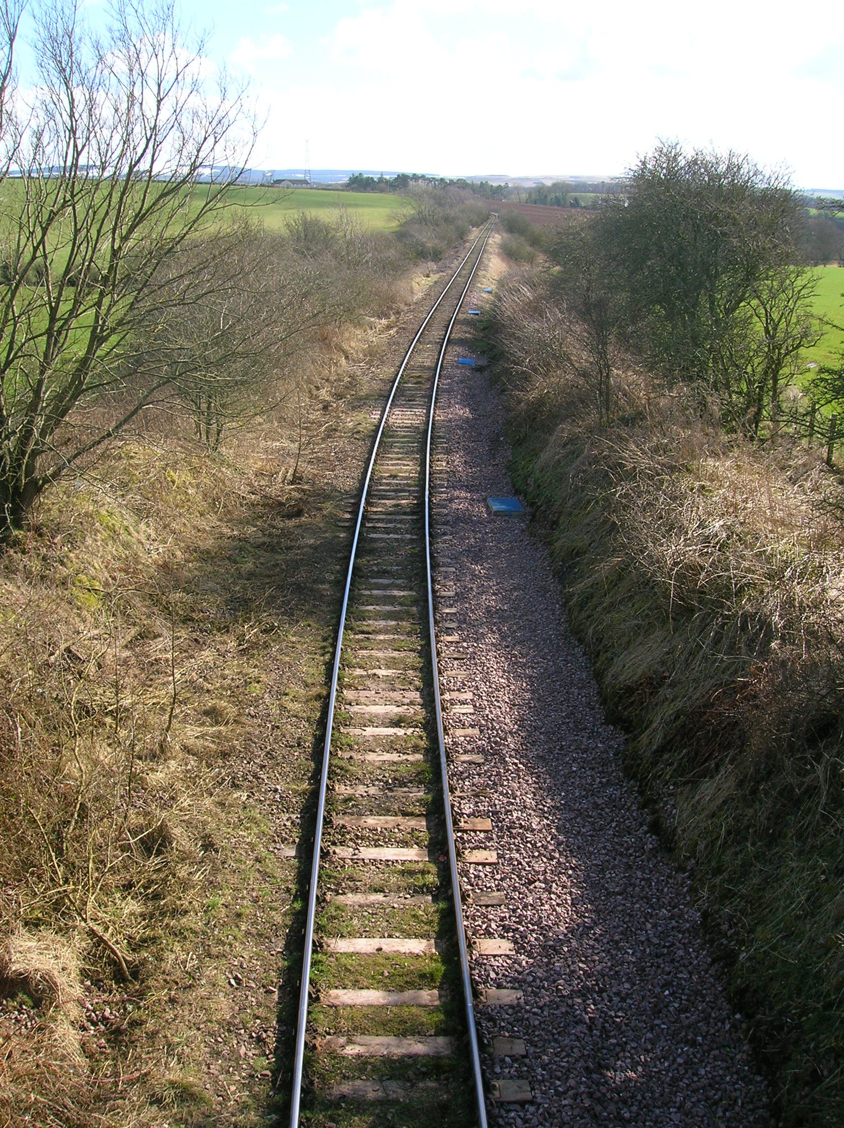
Drongan railway station
Drongan railway station (NS445190) was a railway station serving the village of Drongan, East Ayrshire, Scotland. The station was originally part of the...

Loch Shield
Loch Shield (NS 45521 19444), originally Loch of Scheel was a freshwater loch in the East Ayrshire Council Area, now drained, near Drongan, lying in a...

Millmannoch
Millmannoch, also once known locally as the 'Mill of Mannoch' or Kilmannoch, is a ruined mill and hamlet in the old Barony of Sundrum, South Ayrshire,...

Loch of Trabboch
The Loch of Trabboch or Dalrympleston Loch (NS440211) was situated in a low-lying area below the old Castle of Trabboch, once held by the Boyd family in...

Cumnock and Doon Valley
Cumnock and Doon Valley (Scottish Gaelic: Cumnag agus Srath Dhùin) was one of nineteen local government districts in the Strathclyde region of Scotland...

Joppa, South Ayrshire
Joppa is a former hamlet in South Ayrshire, Scotland, about one mile (1.5 kilometres) which now forms the eastern portion of the built-up part of Coylton...
Trabboch railway station
Trabboch railway station (NS434218) was a railway station serving the village of Trabboch, East Ayrshire, Scotland. The station was originally part of...
Nearby Amenities
Located within 500m of 55.4354,-4.4588Have you been to Ayrshire?
Leave your review of Ayrshire below (or comments, questions and feedback).