Zellig
Heritage Site in Warwickshire
England
Zellig

Zellig, located in Warwickshire, is a renowned heritage site that attracts visitors from all around the world. Situated in the heart of the English countryside, Zellig is a well-preserved village that showcases the rich history and cultural heritage of the region.
The village of Zellig dates back to the medieval period, with its origins traced to the 12th century. It is characterized by its picturesque stone buildings, narrow winding streets, and charming cottages. The village has managed to retain much of its original architecture, providing visitors with a glimpse into the past.
One of the highlights of Zellig is its historic church, St. Mary's, which stands proudly at the center of the village. The church, with its stunning stained glass windows and intricate stone carvings, is a testament to the craftsmanship of the time.
Zellig is also known for its quaint shops and traditional pubs, which offer visitors a chance to experience the local culture and hospitality. The village hosts regular events and festivals, such as traditional fairs and music concerts, which further add to its charm.
Surrounded by rolling hills and lush countryside, Zellig is a paradise for nature lovers. The village is a starting point for several scenic walking trails, offering breathtaking views of the landscape and opportunities for wildlife spotting.
Overall, Zellig is a captivating heritage site that provides a unique and immersive experience into the history, architecture, and natural beauty of Warwickshire. It is a must-visit destination for those seeking to explore England's rich cultural heritage.
If you have any feedback on the listing, please let us know in the comments section below.
Zellig Images
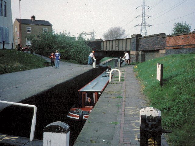
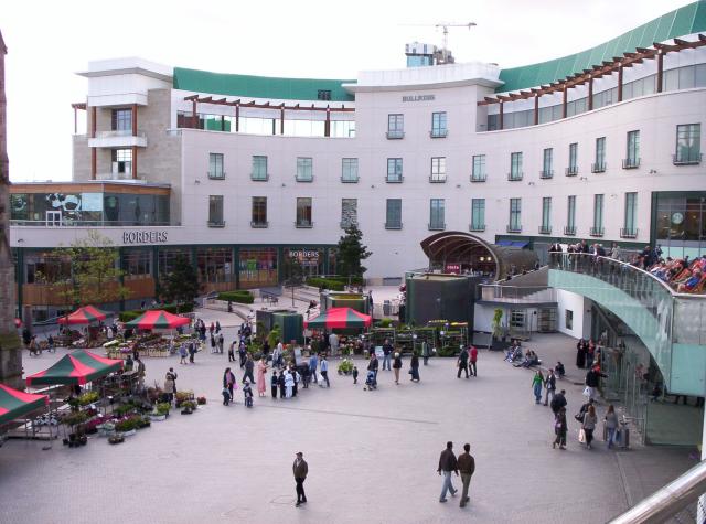
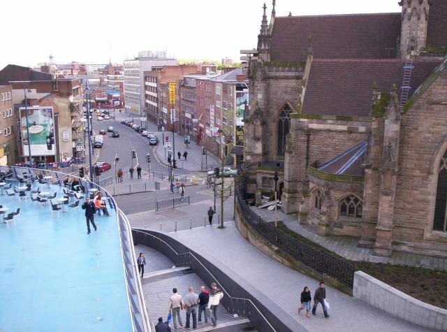
Images are sourced within 2km of 52.475/-1.885 or Grid Reference SP0786. Thanks to Geograph Open Source API. All images are credited.


Zellig is located at Grid Ref: SP0786 (Lat: 52.475, Lng: -1.885)
Unitary Authority: Birmingham
Police Authority: West Midlands
What 3 Words
///melon.lamps.pinks. Near Birmingham, West Midlands
Nearby Locations
Related Wikis
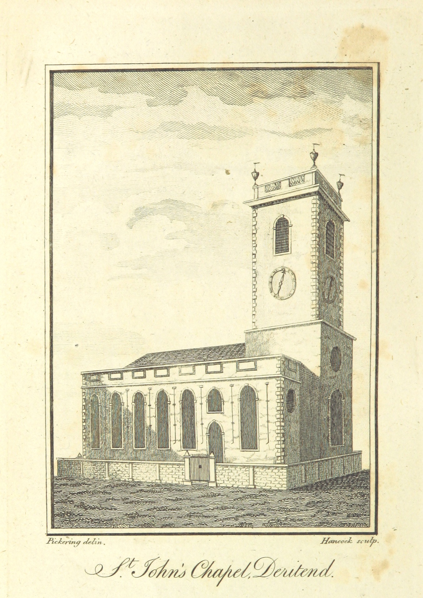
St John's Church, Deritend
St John's Church, Deritend was a parish church in the Church of England in Birmingham, which stood from 1735 until it was demolished in 1947. == History... ==
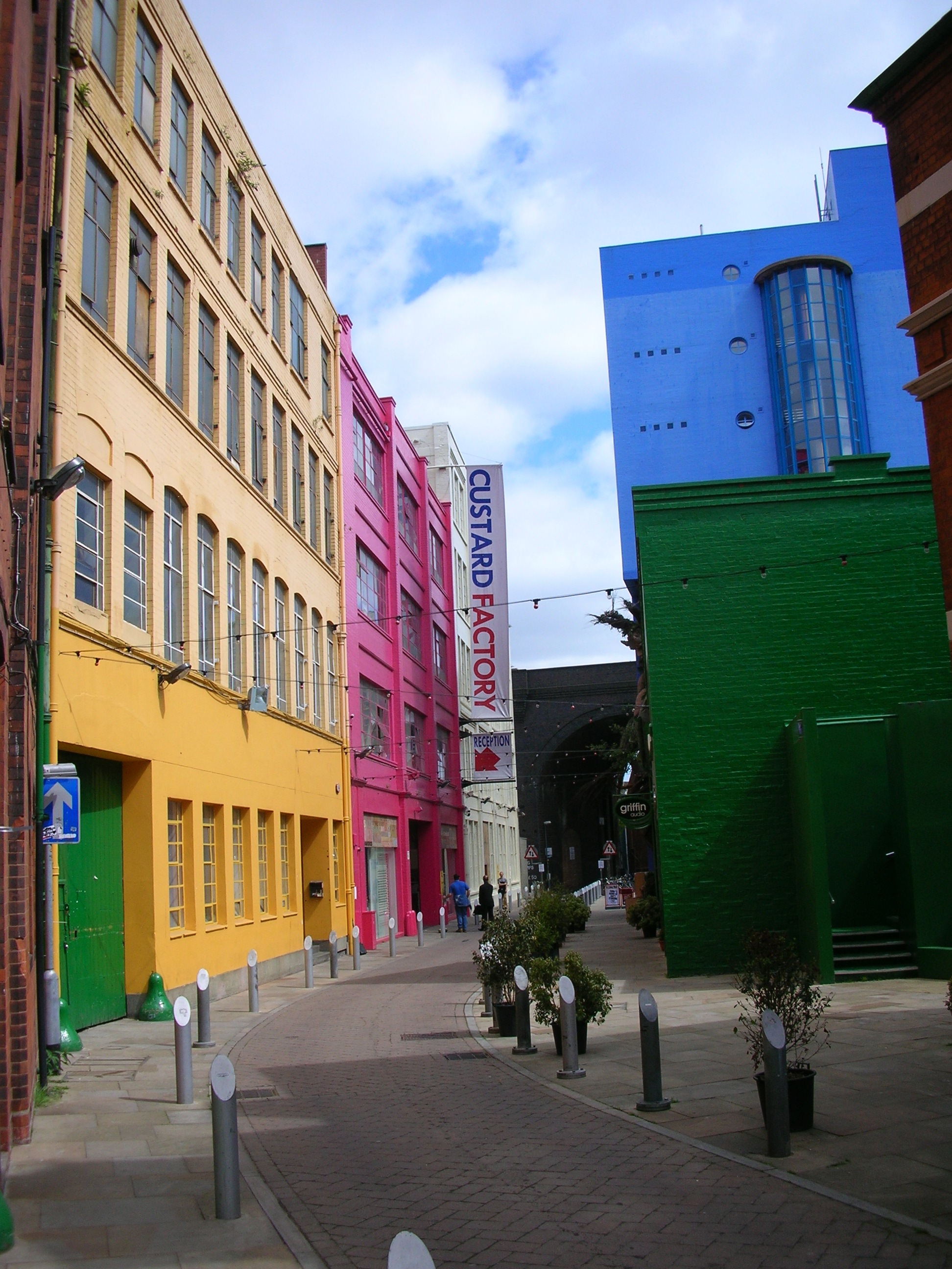
Custard Factory
The Custard Factory is a creative and digital business workspace complex, including independent shops, cafes and bars, on the site of what was the Bird...

Medicine Bar
The Medicine Bar was a bar in Birmingham, England. Located in the Custard Factory in Digbeth, it has hosted many techno, acid jazz, funk and hip hop events...
South and City College Birmingham
South & City College Birmingham is a further education and higher education college in Birmingham, England, providing full-time and part-time courses....

Deritend
Deritend is a historic area of Birmingham, England, built around a crossing point of the River Rea. It is first mentioned in 1276. Today Deritend is usually...

J. F. Kennedy Memorial, Birmingham
The J. F. Kennedy Memorial in Birmingham, England, is a memorial mosaic mural to John F. Kennedy, by Kenneth Budd.The mosaic, commissioned by Birmingham...
The Old Crown, Birmingham
The Old Crown, a pub in Deritend, claims to be one of the oldest extant secular buildings in Birmingham, England. It is Grade II* listed, and claims to...
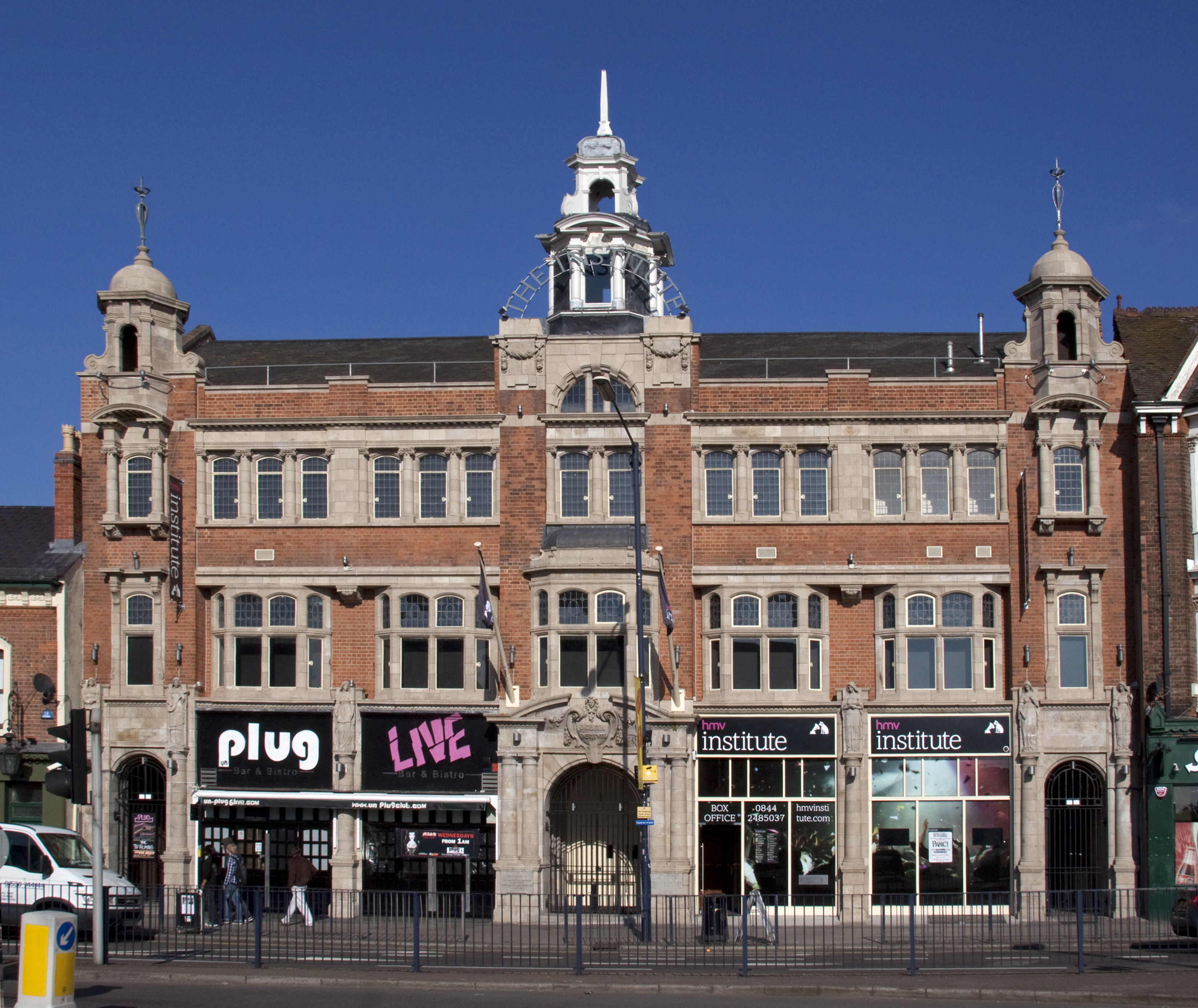
Digbeth Institute
The O2 Institute (originally known as the Digbeth Institute) is a music venue located in Birmingham, England. The venue opened in 1908 as a mission of...
Nearby Amenities
Located within 500m of 52.475,-1.885Have you been to Zellig?
Leave your review of Zellig below (or comments, questions and feedback).