Wortham Manor

Heritage Site in Devon

England

Wortham Manor

Keepin' Warm Fascinating nightwatchman / lamplight alongside steps in garden
Keepin' Warm Credit: Michael Westley

Wortham Manor, located in Devon, England, is a historic heritage site that dates back to the 14th century. Situated amidst picturesque countryside, this manor house boasts a rich history and architectural significance.

The manor is renowned for its stunning medieval architecture, featuring a combination of stone and timber-framed structures. The exterior showcases intricate carvings and decorative elements, displaying the craftsmanship of the period. The interior of the manor is equally impressive, with several well-preserved rooms showcasing original features such as ornate fireplaces, oak paneling, and intricate ceiling designs.

The manor has witnessed several notable events throughout history. During the English Civil War in the 17th century, it served as a stronghold for Royalist forces. The manor also played a significant role in the agricultural revolution of the 18th century, as it was transformed into a model farm by an influential landowner.

Today, Wortham Manor stands as a testament to its past and is open to the public as a heritage site. Visitors can explore the historic rooms, admire the architecture, and gain insight into the lives of the people who once inhabited this grand residence. Additionally, the manor hosts various events and exhibitions, providing an opportunity to delve deeper into the manor's history and the local heritage of Devon.

Overall, Wortham Manor is a captivating heritage site that offers a glimpse into the past, showcasing the architectural splendor and historical significance of this medieval manor.

If you have any feedback on the listing, please let us know in the comments section below.

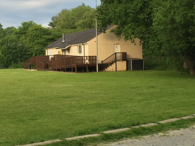
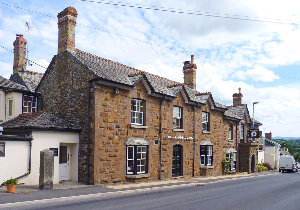
Wortham Manor Images

Images are sourced within 2km of 50.655/-4.285 or Grid Reference SX3886. Thanks to Geograph Open Source API. All images are credited.

Keepin' Warm Fascinating nightwatchman / lamplight alongside steps in garden
Keepin' Warm
Fascinating nightwatchman / lamplight alongside steps in garden
Leat Road, former Rail Bridge View of route of former branch line to Launceston, near River Lyd, just south of Lifton
Leat Road, former Rail Bridge
View of route of former branch line to Launceston, near River Lyd, just south of Lifton
Clubhouse at Recreation Ground At Lifton Recreation Ground
Clubhouse at Recreation Ground
At Lifton Recreation Ground
View from River Lyd View from road bridge, Leat Road, south of Lifton
View from River Lyd
View from road bridge, Leat Road, south of Lifton
Step up Right of Way Footsteps up in direction of Lifton St Marys Church, from Leat Road
Step up Right of Way
Footsteps up in direction of Lifton St Marys Church, from Leat Road
Heavy rain at Tinhay Southern Bridge across the River Lyd
Heavy rain at Tinhay
Southern Bridge across the River Lyd
A30 near Higher & Lower Cookworthy A Main road to Cornwall.
A30 near Higher & Lower Cookworthy
A Main road to Cornwall.
Knaphill Plantation seen from the A30 This beautiful group of trees has iconic status for people living in Cornwall. It is beside the A30 on the eastward side of the county boundary with Devon and on the long journey home the trees are a sign that the journey has nearly ended.  There has been much controversy of late (2016) when a wind turbine has been erected which looms above the trees when viewed from the east, ruining the vista.  It can't be seen in this picture, which is looking southwards.
Knaphill Plantation seen from the A30
This beautiful group of trees has iconic status for people living in Cornwall. It is beside the A30 on the eastward side of the county boundary with Devon and on the long journey home the trees are a sign that the journey has nearly ended. There has been much controversy of late (2016) when a wind turbine has been erected which looms above the trees when viewed from the east, ruining the vista. It can't be seen in this picture, which is looking southwards.
Wind turbine east of Liftondown Seen from the A30 as it passes Liftondown
Wind turbine east of Liftondown
Seen from the A30 as it passes Liftondown
Field, trees and wind turbine north of A30 near Wortham Manor
Old Milestone by the A388, below A30 flyover, Lifton parish Carved stone post by the A388 (was A30), in parish of LIFTON (WEST DEVON District), 150m West of Lifton Farmshop, on grass bank below concrete wall of A30 bridge, on North side of road. Launceston gable, erected by the Launceston turnpike trust in the 18th century. 

Inscription reads:-
LAUNCESTON
3
OKEHAMPTON
15½
Carved benchmark on front left face.

Devon & Dartmoor HER.
HER Number: MDV24871 <span class="nowrap"><a title="https://www.heritagegateway.org.uk/Gateway/Results_Single.aspx?uid=MDV24871&resourceID=104" rel="nofollow ugc noopener" href="https://www.heritagegateway.org.uk/Gateway/Results_Single.aspx?uid=MDV24871&resourceID=104">Link</a><img style="margin-left:2px;" alt="External link" title="External link - shift click to open in new window" src="https://s1.geograph.org.uk/img/external.png" width="10" height="10"/></span>

Milestone Society National ID: DV_LAOK03.
Old Milestone by the A388, below A30 flyover, Lifton parish
Carved stone post by the A388 (was A30), in parish of LIFTON (WEST DEVON District), 150m West of Lifton Farmshop, on grass bank below concrete wall of A30 bridge, on North side of road. Launceston gable, erected by the Launceston turnpike trust in the 18th century. Inscription reads:- LAUNCESTON 3 OKEHAMPTON 15½ Carved benchmark on front left face. Devon & Dartmoor HER. HER Number: MDV24871 LinkExternal link Milestone Society National ID: DV_LAOK03.
Old Milestone by New Road, Lifton Carved stone post by the UC road (was A30), in parish of LIFTON (WEST DEVON District), New Road, opposite "Just a Toll", 100m East of Lifton Hall Hotel, on grass verge by path, on South side of road. Launceston gable erected by the Launceston turnpike trust in the 18th century. 

Inscription reads:-
LAUNCESTON
4
OKEHAMPTON
14½  
Carved benchmark on lower face, left side.

Devon & Dartmoor HER.
HER Number: MDV39311 <span class="nowrap"><a title="https://www.heritagegateway.org.uk/Gateway/Results_Single.aspx?uid=MDV39311&resourceID=104" rel="nofollow ugc noopener" href="https://www.heritagegateway.org.uk/Gateway/Results_Single.aspx?uid=MDV39311&resourceID=104">Link</a><img style="margin-left:2px;" alt="External link" title="External link - shift click to open in new window" src="https://s1.geograph.org.uk/img/external.png" width="10" height="10"/></span>

Milestone Society National ID: DV_LAOK04
Old Milestone by New Road, Lifton
Carved stone post by the UC road (was A30), in parish of LIFTON (WEST DEVON District), New Road, opposite "Just a Toll", 100m East of Lifton Hall Hotel, on grass verge by path, on South side of road. Launceston gable erected by the Launceston turnpike trust in the 18th century. Inscription reads:- LAUNCESTON 4 OKEHAMPTON 14½ Carved benchmark on lower face, left side. Devon & Dartmoor HER. HER Number: MDV39311 LinkExternal link Milestone Society National ID: DV_LAOK04
Strawberry Fields Farm shop An expanding enterprise just off the A30.
Strawberry Fields Farm shop
An expanding enterprise just off the A30.
A monster in the field? Love them or loath them. Wind turbines are here to stay.
This one is behind Strawberry Fields farm shop.
A closer look will also show solar panels in the field as well.
A monster in the field?
Love them or loath them. Wind turbines are here to stay. This one is behind Strawberry Fields farm shop. A closer look will also show solar panels in the field as well.
Strawberry Fields Farm shop Diversification from just a farm off the A30.
Strawberry Fields Farm shop
Diversification from just a farm off the A30.
Now that's clever  A former milk float adapted to be a refrigeration unit for bottled milk.
Now that's clever
A former milk float adapted to be a refrigeration unit for bottled milk.
Passing Knaphill Plantation Viewed from the M5 the iconic plantation of trees that signifies that you are approaching Cornwall. The trees looked unmoved by the high winds of Storm Hannah that were passing through.
Passing Knaphill Plantation
Viewed from the M5 the iconic plantation of trees that signifies that you are approaching Cornwall. The trees looked unmoved by the high winds of Storm Hannah that were passing through.
Entry to a lay-by on the A30 Looking south-west, towards the oncoming traffic.
Entry to a lay-by on the A30
Looking south-west, towards the oncoming traffic.
Show me another place!

Wortham Manor is located at Grid Ref: SX3886 (Lat: 50.655, Lng: -4.285)

What 3 Words

///starfish.scorch.blanket. Near Lifton, Devon

Nearby Locations

Wortham Manor

Related Wikis

Lifton, Devon

Lifton is a village and civil parish in Devon, South West England near the confluence of the rivers Wolf and Lyd, 1¼ miles south of the A30 trunk road...

River Wolf

The River Wolf is a minor river in the west of the county of Devon in England. Its name may come from a Celtic or earlier name recorded by the Roman map...

Dingles Fairground Heritage Centre

Dingles Fairground Museum, formerly known as Dingles Steam Village and Fairground Heritage Centre, is a museum that features a collection of historical...

River Lyd, Devon

The Lyd is a river rising at Lyd Head (Corn Ridge in NW Dartmoor) in the Dartmoor national park in Devon in South West England and flowing into the River...

Nearby Amenities

Located within 500m of 50.655,-4.285
Phone
Emergency: phone
Source: survey
Lat/Long: 50.654323/-4.2916715
Stone Cross
Junction: yes
Source: OS_OpenData_StreetView
Lat/Long: 50.6579003/-4.285032
The data included in this document is from www.openstreetmap.org. The data is made available under ODbL.

Have you been to Wortham Manor?

Leave your review of Wortham Manor below (or comments, questions and feedback).