Mill Hill
Settlement in Suffolk Babergh
England
Mill Hill
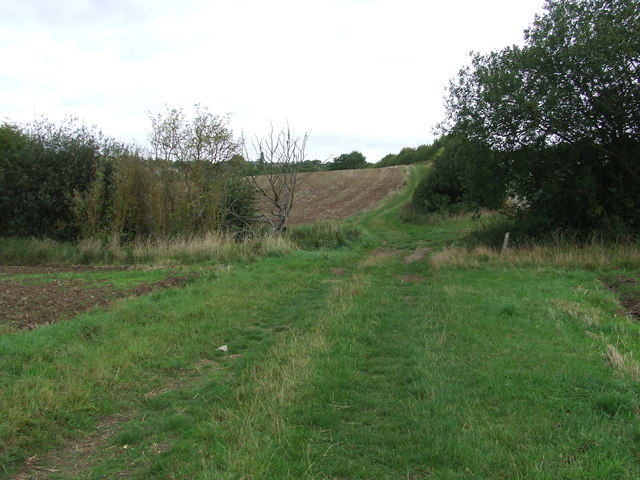
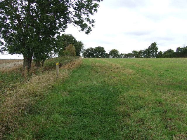
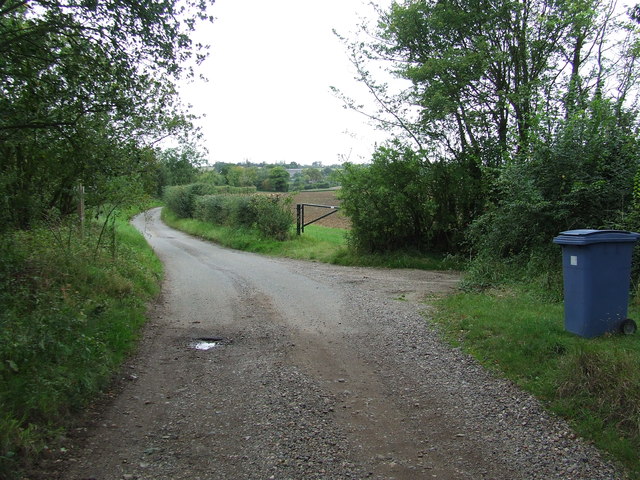
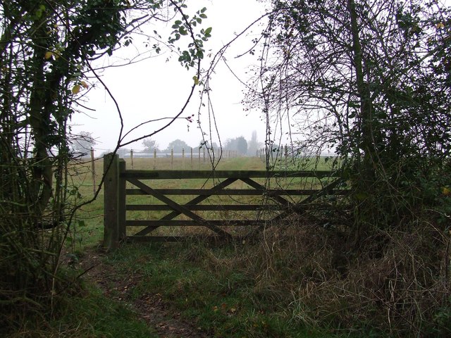
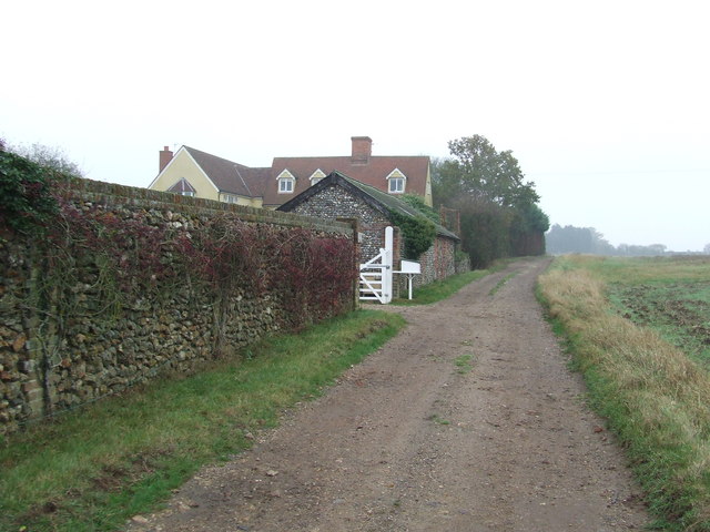
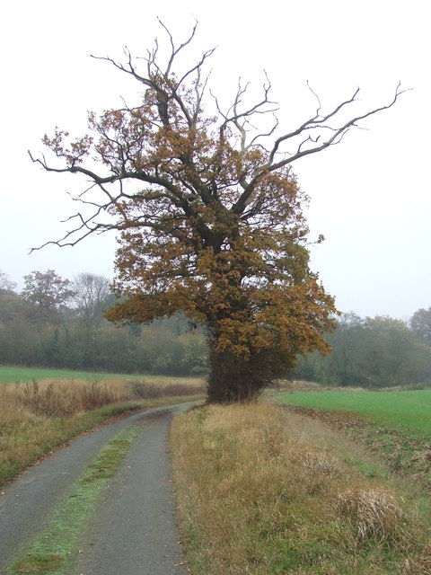
Mill Hill is a small village located in the county of Suffolk, England. Situated in the eastern part of the county, it is part of the Mid Suffolk district and is approximately 14 miles north of the town of Ipswich. Mill Hill is a rural settlement surrounded by picturesque countryside, offering residents and visitors a peaceful and idyllic setting.
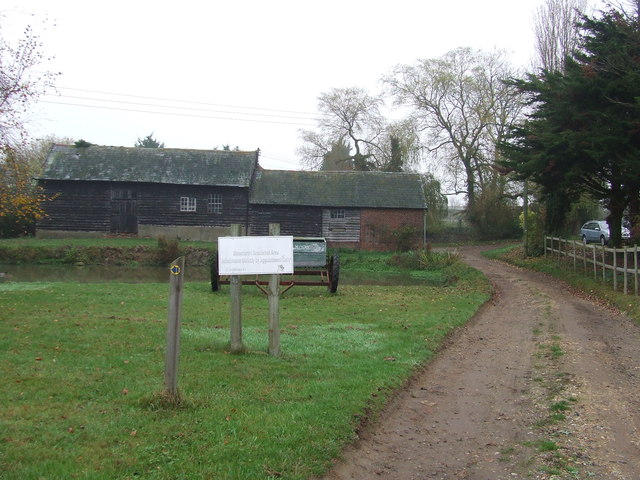
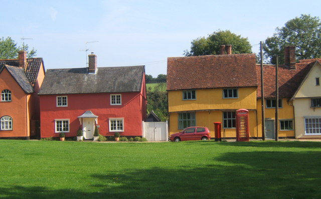
The village is known for its charming and traditional architecture, with many of its buildings dating back several centuries. The historic Mill Hill Windmill, a Grade II listed building, stands proudly as a reminder of the village's agricultural heritage. The windmill, which was built in the 19th century, is a prominent landmark and a popular attraction for tourists.
Although small in size, Mill Hill offers a range of amenities to cater to the needs of its residents. These include a village hall, a local pub, and a small convenience store. The village also benefits from excellent transport links, with regular bus services connecting it to surrounding towns and villages.
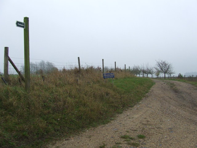
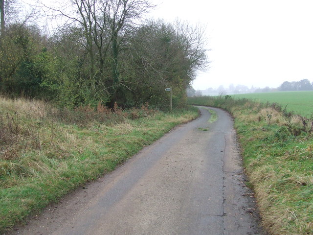
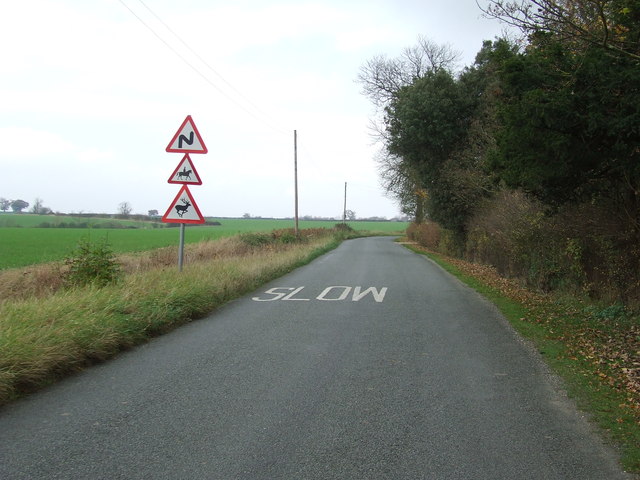
The surrounding countryside provides ample opportunities for outdoor activities and exploring nature. Residents and visitors can enjoy scenic walks, cycling, and horse riding in the nearby fields and woodlands. The village is also located close to the River Gipping, offering fishing and boating opportunities.
Mill Hill is a close-knit community, with a friendly and welcoming atmosphere. It is a place where residents can enjoy the tranquility of rural life while still being within easy reach of larger towns and cities in the region.
If you have any feedback on the listing, please let us know in the comments section below.
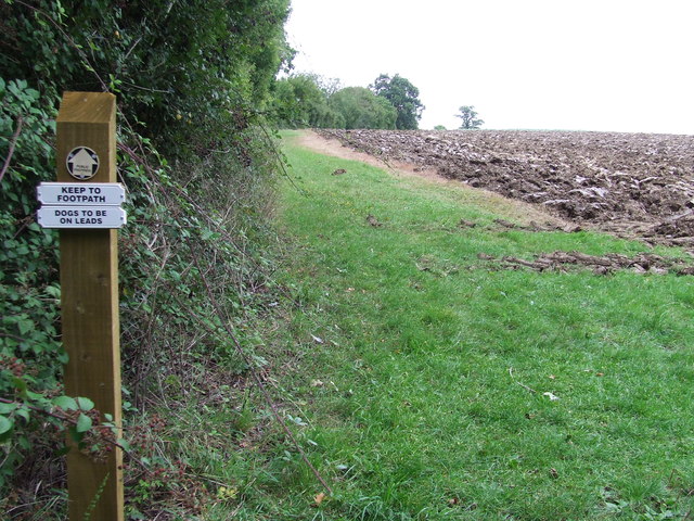
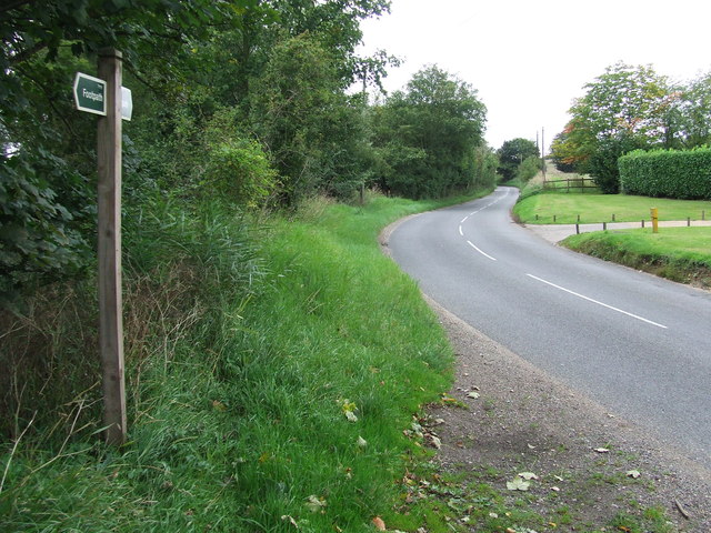
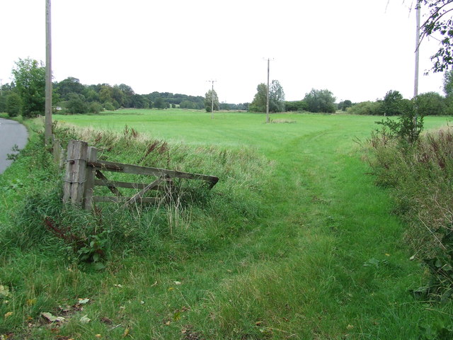
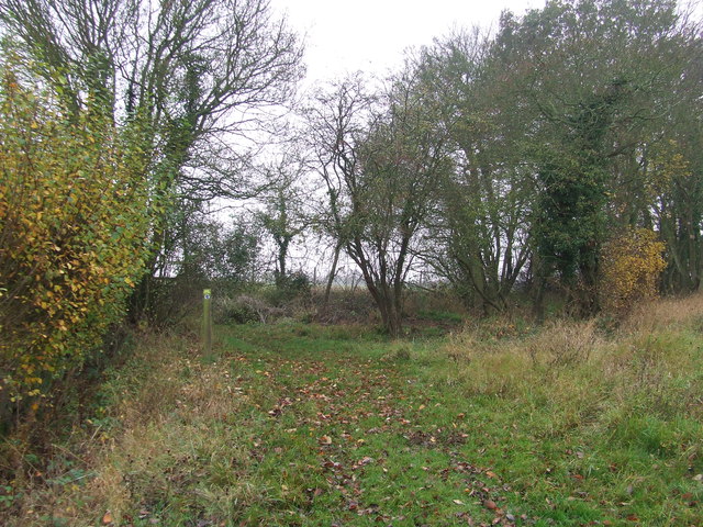
Mill Hill Images
Images are sourced within 2km of 52.126341/0.70117267 or Grid Reference TL8551. Thanks to Geograph Open Source API. All images are credited.


Mill Hill is located at Grid Ref: TL8551 (Lat: 52.126341, Lng: 0.70117267)
Administrative County: Suffolk
District: Babergh
Police Authority: Suffolk
What 3 Words
///relations.dish.cluttered. Near Glemsford, Suffolk
Nearby Locations
Related Wikis

Kentwell Woods
Kentwell Woods is a 77.6-hectare (192-acre) biological Site of Special Scientific Interest in fifteen woods in fourteen separate blocks east and north...

Shimpling
Shimpling is a village and civil parish in south Suffolk, England. About 7 miles (11 km) from Bury St Edmunds, it is part of Babergh district. The village...

Audley End, Suffolk
Audley End is a hamlet in the civil parish of Lawshall in the Babergh district in the county of Suffolk, England. It is located between Lambs Lane and...
Hartest
Hartest is a small village and civil parish in the Babergh district of the English county of Suffolk. It is located halfway between Bury St. Edmunds and...

Boxted, Suffolk
Boxted is a village and civil parish in the Babergh district of Suffolk, England. Located around 8 miles (13 km) north of Sudbury, in 2005 it had a population...

Hibb's Green
Hibb's Green is a hamlet in the civil parish of Lawshall in the Babergh district in the county of Suffolk, England. It is located between Hanningfield...

Frithy and Chadacre Woods
Frithy and Chadacre Woods is a 28.7-hectare (71-acre) biological Site of Special Scientific Interest (SSSI) in the parishes of Lawshall and Shimpling in...

Stanstead, Suffolk
Stanstead is a village and civil parish in Suffolk, England. The name Stanstead comes from the Old English for "Stony place". Located off the B1066, it...
Nearby Amenities
Located within 500m of 52.126341,0.70117267Have you been to Mill Hill?
Leave your review of Mill Hill below (or comments, questions and feedback).