White Barrow

Heritage Site in Devon

England

White Barrow

Langstone Moor Concentric Stone Circle with White Tor beyond <span class="nowrap"><a title="https://historicengland.org.uk/listing/the-list/list-entry/1007550?section=official-list-entry" rel="nofollow ugc noopener" href="https://historicengland.org.uk/listing/the-list/list-entry/1007550?section=official-list-entry">Link</a><img style="margin-left:2px;" alt="External link" title="External link - shift click to open in new window" src="https://s1.geograph.org.uk/img/external.png" width="10" height="10"/></span>
Langstone Moor Concentric Stone Circle with White Tor beyond Credit: Sandy Gerrard

White Barrow is a prehistoric heritage site located in Devon, England. It is situated on a hilltop within the Dartmoor National Park, approximately 5 miles west of the town of Ashburton. The site is known for its well-preserved Neolithic burial mound, which dates back to around 3500 BC.

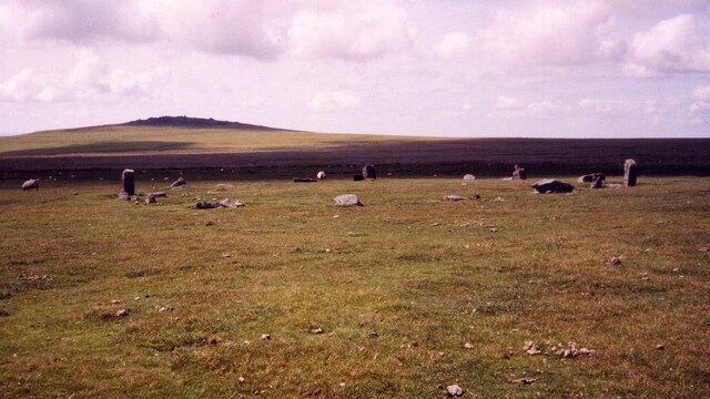
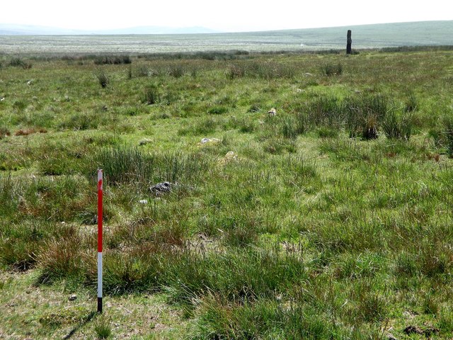
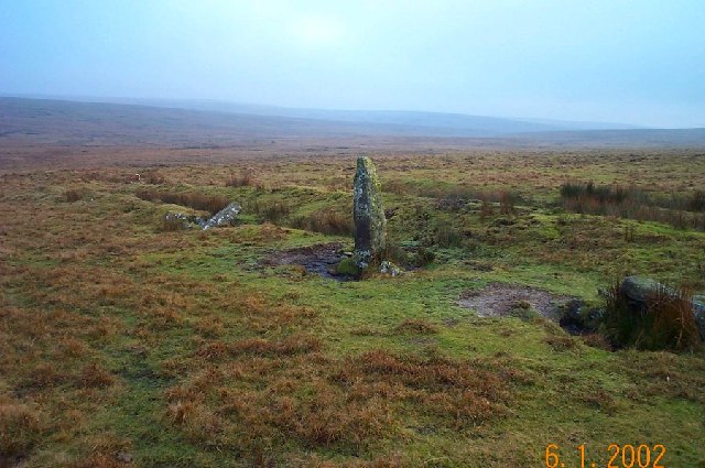
The burial mound, or barrow, at White Barrow is a circular earthwork, approximately 38 meters in diameter and 5 meters in height. It is surrounded by a ditch, which was likely used for ceremonial purposes. The central chamber of the barrow, where the burials took place, has unfortunately collapsed over time, but archaeologists have discovered fragments of pottery and tools within the mound.

The site is believed to have been used for multiple burials over several centuries, making it a significant archaeological find. It provides valuable insights into the burial practices and beliefs of the Neolithic people who inhabited the area.

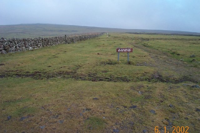
White Barrow is easily accessible to the public, and visitors can explore the site and its surroundings. The hilltop location offers panoramic views of the surrounding countryside, adding to the overall experience. Interpretive signs and information boards provide historical context and details about the site.

As a designated heritage site, White Barrow is protected by law, and any excavations or modifications require permission from the relevant authorities. It is an important cultural and historical landmark, attracting visitors and researchers interested in the region's prehistoric past.

If you have any feedback on the listing, please let us know in the comments section below.
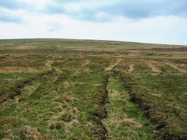
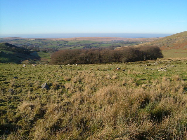
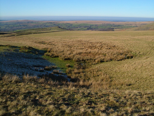
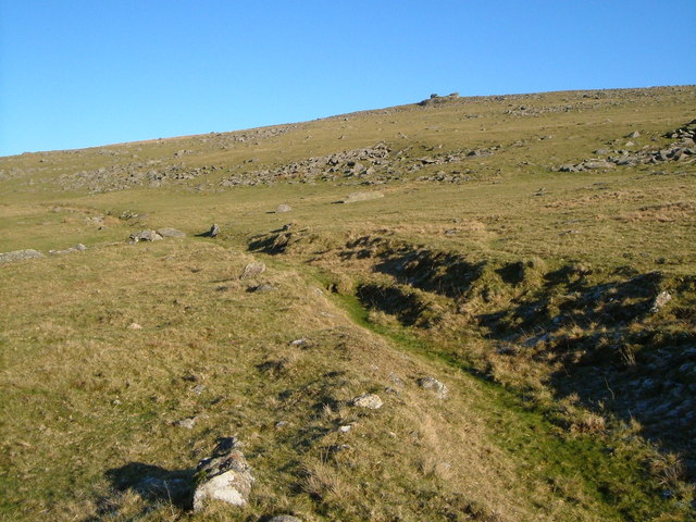
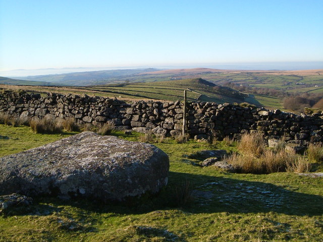
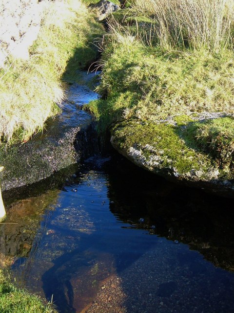
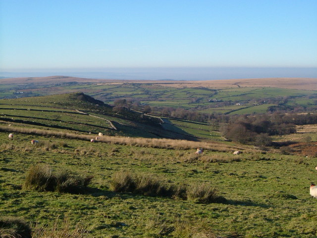
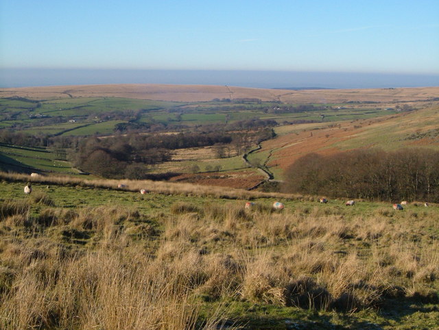
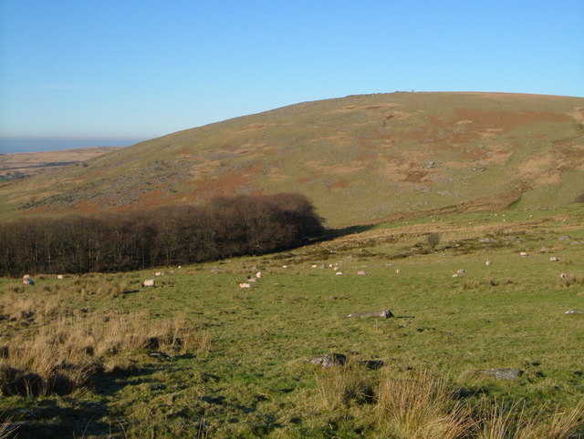
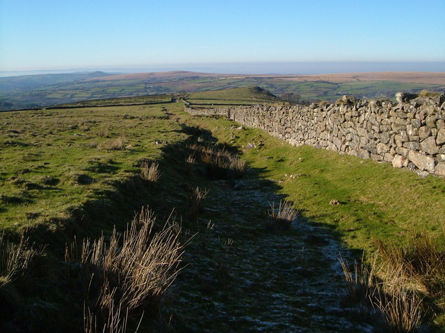
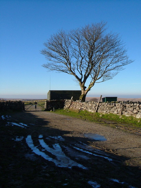
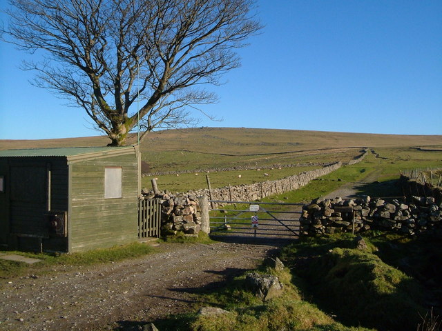
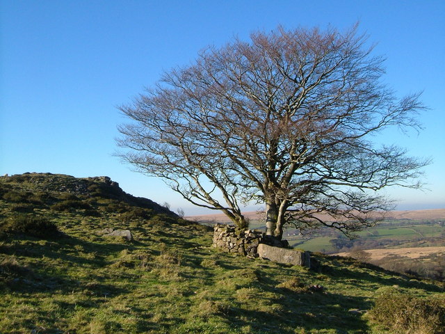
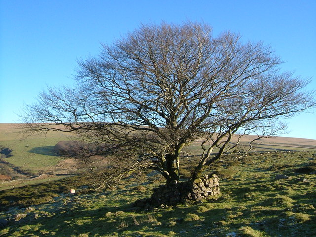
White Barrow Images

Images are sourced within 2km of 50.597/-4.028 or Grid Reference SX5679. Thanks to Geograph Open Source API. All images are credited.

Langstone Moor Concentric Stone Circle with White Tor beyond <span class="nowrap"><a title="https://historicengland.org.uk/listing/the-list/list-entry/1007550?section=official-list-entry" rel="nofollow ugc noopener" href="https://historicengland.org.uk/listing/the-list/list-entry/1007550?section=official-list-entry">Link</a><img style="margin-left:2px;" alt="External link" title="External link - shift click to open in new window" src="https://s1.geograph.org.uk/img/external.png" width="10" height="10"/></span>
Langstone Moor Concentric Stone Circle with White Tor beyond
Langstone Moor prehistoric stone row A single prehistoric stone row measuring 118m long, including at least 27 mainly small-sized stones. The row is orientated north to south and leads between a substantial orthostat at the lower southern end to a mutilated cairn at the north. The large orthostat was re-erected in 1893 and limited excavation in 1895 revealed that the socket holes were small. <span class="nowrap"><a title="https://stonerows.wordpress.com/gazetteer/region/dartmoor/langstone-moor/" rel="nofollow ugc noopener" href="https://stonerows.wordpress.com/gazetteer/region/dartmoor/langstone-moor/">Link</a><img style="margin-left:2px;" alt="External link" title="External link - shift click to open in new window" src="https://s1.geograph.org.uk/img/external.png" width="10" height="10"/></span>
Langstone Moor prehistoric stone row
A single prehistoric stone row measuring 118m long, including at least 27 mainly small-sized stones. The row is orientated north to south and leads between a substantial orthostat at the lower southern end to a mutilated cairn at the north. The large orthostat was re-erected in 1893 and limited excavation in 1895 revealed that the socket holes were small. LinkExternal link
Lynch track - Dartmoor No army vehicles allowed from now on - just farm ones. Lynch Tor is on the horizon.
Lynch track - Dartmoor
No army vehicles allowed from now on - just farm ones. Lynch Tor is on the horizon.
Turf House - Dartmoor Looking SE from the remains of Turf House (an old peat store) over the upper reaches of the lonely Walkham Valley. On the left middle horizon lies the desolate waste of Maiden Hill.
Turf House - Dartmoor
Looking SE from the remains of Turf House (an old peat store) over the upper reaches of the lonely Walkham Valley. On the left middle horizon lies the desolate waste of Maiden Hill.
Old peat works near Walkham Head - Dartmoor These peat workings haven't been used for a while but they covered an extensive and widely worked area. Limboro cairn on the horizon.
Old peat works near Walkham Head - Dartmoor
These peat workings haven't been used for a while but they covered an extensive and widely worked area. Limboro cairn on the horizon.
South Common Plantation An almost perfectly circular little wood in the valley of the Baggator Brook, seen from the wall that encloses this area of rough grazing from the open moor. The green fields beyond mark the line of the Tavy valley.
South Common Plantation
An almost perfectly circular little wood in the valley of the Baggator Brook, seen from the wall that encloses this area of rough grazing from the open moor. The green fields beyond mark the line of the Tavy valley.
Stream source on Wapsworthy Common A conspicuous hollow where a tributary of the Youlden Brook rises. Looking WNW towards Baggator.
Stream source on Wapsworthy Common
A conspicuous hollow where a tributary of the Youlden Brook rises. Looking WNW towards Baggator.
Black Lane and Lynch Tor Black Lane is an old track leading from Baggator stroll into a remote area of Dartmoor. Here it gradually ascends past piles of clitter beneath the small Lynch Tor on the horizon.
Black Lane and Lynch Tor
Black Lane is an old track leading from Baggator stroll into a remote area of Dartmoor. Here it gradually ascends past piles of clitter beneath the small Lynch Tor on the horizon.
Wall on Wapsworthy Common The dry stone wall marks the edge of the moor; beyond is farmland. Baggator is just right of centre a little over a kilometre away.
Wall on Wapsworthy Common
The dry stone wall marks the edge of the moor; beyond is farmland. Baggator is just right of centre a little over a kilometre away.
Pool on edge of Wapsworthy Common A miniature waterfall drops into a limpid rock pool beside the moorland boundary wall a few yards north of <a href="https://www.geograph.org.uk/photo/297793">SX5580 : Wall on Wapsworthy Common</a>.
Pool on edge of Wapsworthy Common
A miniature waterfall drops into a limpid rock pool beside the moorland boundary wall a few yards north of SX5580 : Wall on Wapsworthy Common.
Baggator Brook valley Looking down the valley from the intake wall onto Wapsworthy Common. Long Plantation runs beside the brook on the right. Baggator and the plantation below it, on the left, are in SX5480. Beyond is farmland around the Tavy.
Baggator Brook valley
Looking down the valley from the intake wall onto Wapsworthy Common. Long Plantation runs beside the brook on the right. Baggator and the plantation below it, on the left, are in SX5480. Beyond is farmland around the Tavy.
Baggator Brook valley and South Common Plantation Cf <a href="https://www.geograph.org.uk/photo/296868">SX5580 : South Common Plantation</a>, taken from further to the left and looking northwest, past the plantation on the right. Long Plantation runs along the valley beside the brook, and a long snaking wall encloses the farmland on the right. Beyond the farmland of the Tavy and Willsworthy Brook valleys is a bare ridge between Gibbet Hill and White Hill.
Baggator Brook valley and South Common Plantation
Cf SX5580 : South Common Plantation, taken from further to the left and looking northwest, past the plantation on the right. Long Plantation runs along the valley beside the brook, and a long snaking wall encloses the farmland on the right. Beyond the farmland of the Tavy and Willsworthy Brook valleys is a bare ridge between Gibbet Hill and White Hill.
South Common Plantation and Standon Hill Looking to the right of <a href="https://www.geograph.org.uk/photo/297804">SX5580 : Baggator Brook valley and South Common Plantation</a> but from the same spot, across the valley of the Baggator Brook. The upper slopes of Standon Hill are in <a href="https://www.geograph.org.uk/gridref/SX5581">SX5581</a>.
South Common Plantation and Standon Hill
Looking to the right of SX5580 : Baggator Brook valley and South Common Plantation but from the same spot, across the valley of the Baggator Brook. The upper slopes of Standon Hill are in SX5581.
Stroll off Wapsworthy Common This lengthy stroll or tongue, almost 700 metres long, consists of two walls that gradually converge at a gate by the tree in the distance, allowing livestock to be herded. To the right is the northern dry stone wall. Baggator appears above it, to the right of the tree.
Stroll off Wapsworthy Common
This lengthy stroll or tongue, almost 700 metres long, consists of two walls that gradually converge at a gate by the tree in the distance, allowing livestock to be herded. To the right is the northern dry stone wall. Baggator appears above it, to the right of the tree.
Gate off the moor The stroll from Wapsworthy Common reaches the gate to Baggator, beside this beech tree and a couple of sheds. The puddles in the tyre ruts are frozen solid.
Gate off the moor
The stroll from Wapsworthy Common reaches the gate to Baggator, beside this beech tree and a couple of sheds. The puddles in the tyre ruts are frozen solid.
Gate and stroll onto Wapsworthy Common Peter Tavy Bridleway 40 passes through the gate from Baggator onto the moor in <a href="https://www.geograph.org.uk/photo/297864">SX5580 : Gate off the moor</a>, seen here from the other direction, with the long stroll (see <a href="https://www.geograph.org.uk/photo/297863">SX5580 : Stroll off Wapsworthy Common</a>) extending beyond it for nearly 700 metres. Lynch Tor is on the horizon just to the right of the beech tree. Not sure exactly what the hut is used for.
Gate and stroll onto Wapsworthy Common
Peter Tavy Bridleway 40 passes through the gate from Baggator onto the moor in SX5580 : Gate off the moor, seen here from the other direction, with the long stroll (see SX5580 : Stroll off Wapsworthy Common) extending beyond it for nearly 700 metres. Lynch Tor is on the horizon just to the right of the beech tree. Not sure exactly what the hut is used for.
Beech tree and Baggator The tree is protected by a little stone wall incorporating a large boulder. The ground falls away to the right of the tor into the valley of the Baggator Brook (see <a href="https://www.geograph.org.uk/photo/297803">SX5580 : Baggator Brook valley</a> for context).
Beech tree and Baggator
The tree is protected by a little stone wall incorporating a large boulder. The ground falls away to the right of the tor into the valley of the Baggator Brook (see SX5580 : Baggator Brook valley for context).
Beech near Baggator The tree that features in <a href="https://www.geograph.org.uk/photo/297869">SX5480 : Baggator Farm</a> and <a href="https://www.geograph.org.uk/photo/297868">SX5480 : Beech tree and Baggator</a>. Behind it is <a href="https://www.geograph.org.uk/photo/296868">SX5580 : South Common Plantation</a>, with the Baggator Brook at extreme left.
Beech near Baggator
The tree that features in SX5480 : Baggator Farm and SX5480 : Beech tree and Baggator. Behind it is SX5580 : South Common Plantation, with the Baggator Brook at extreme left.
Show me another place!

White Barrow is located at Grid Ref: SX5679 (Lat: 50.597, Lng: -4.028)

What 3 Words

///gravel.equal.educates. Near Princetown, Devon

Nearby Locations

White Barrow

Related Wikis

Cut Hill

Cut Hill is a hill in North Dartmoor in the southwest English county of Devon. At 603 metres high, it is the joint third highest peak in Devon and Dartmoor...

Great Mis Tor

Great Mis Tor is a hill with a rocky outcrop situated in Dartmoor. It has been called one of the grandest hills in Devon, and lies above the River Walkham...

Roman Catholic Diocese of Plymouth

The Diocese of Plymouth(Latin: Dioecesis Plymuthensis) is a Latin Church diocese of the Catholic Church in England. The episcopal see is in the city of...

Dartmoor

Dartmoor is an upland area in southern Devon, South West England. The moorland and surrounding land has been protected by National Park status since 1951...

Have you been to White Barrow?

Leave your review of White Barrow below (or comments, questions and feedback).