Weston Hall

Heritage Site in Cheshire

England

Weston Hall

Parish council noticeboard in Englesea Brook
Parish council noticeboard in Englesea Brook Credit: Jonathan Hutchins

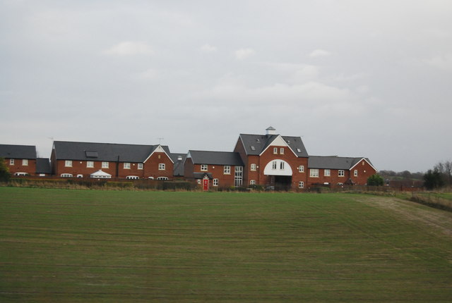
Weston Hall, located in Cheshire, England, is a historic heritage site that dates back to the 16th century. The hall is nestled in the picturesque village of Weston and is surrounded by stunning gardens and parkland.

Built in the Elizabethan era, Weston Hall is a fine example of Tudor architecture. The exterior of the building features a mix of red brick and timber framing, giving it a distinctive and charming appearance. The hall has undergone several renovations and additions over the years, but still retains its original character and grandeur.

Inside the hall, visitors can explore its beautifully preserved rooms and discover the rich history that unfolds within its walls. The Great Hall is an impressive space with a stunning oak-paneled ceiling and a large fireplace, showcasing the grandeur of the era. Other notable rooms include the Drawing Room, which is adorned with intricate plasterwork and elegant furnishings, and the Library, housing a collection of rare books and manuscripts.

The gardens surrounding Weston Hall are equally captivating. The formal gardens feature neatly manicured lawns, flowerbeds, and ornamental hedges, creating a serene and peaceful atmosphere. Beyond the formal gardens, visitors can explore the parkland, which includes a lake and woodland areas.

Weston Hall is open to the public and offers guided tours, allowing visitors to immerse themselves in the history and beauty of this remarkable heritage site. The hall is also available for weddings and events, providing a unique and enchanting venue for special occasions.

If you have any feedback on the listing, please let us know in the comments section below.
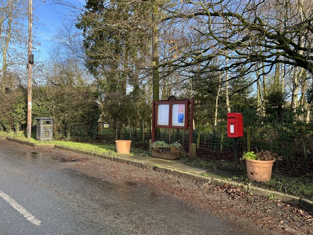
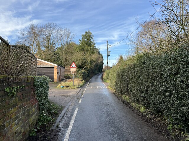
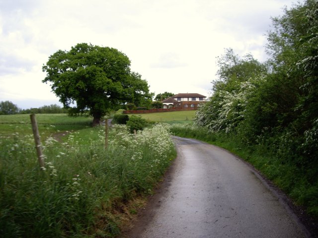
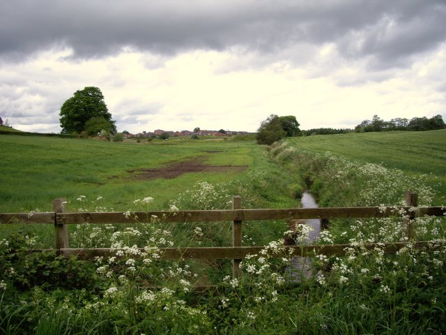
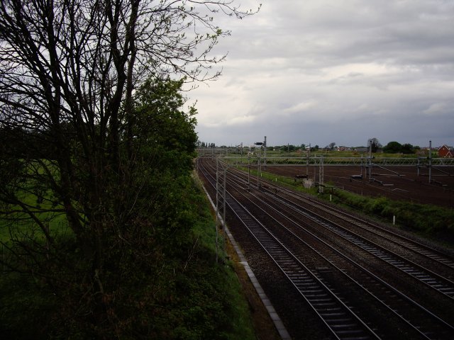
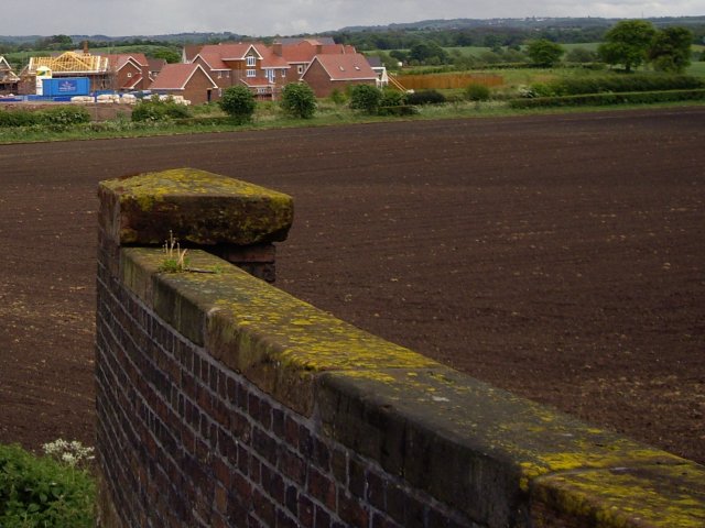
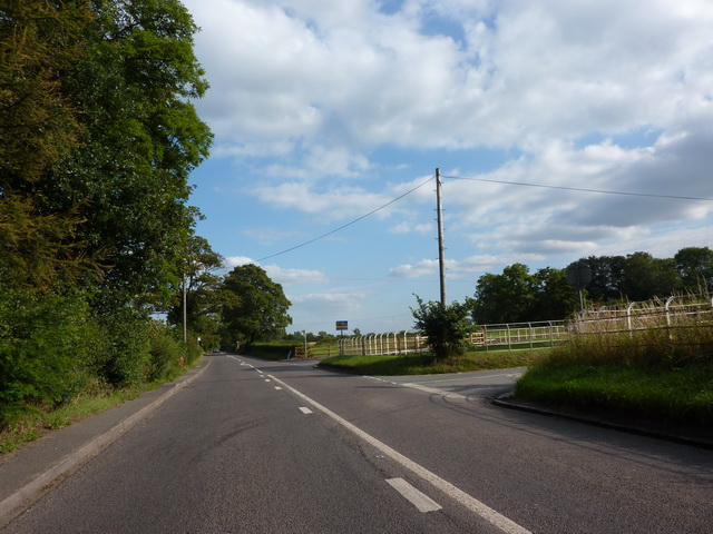
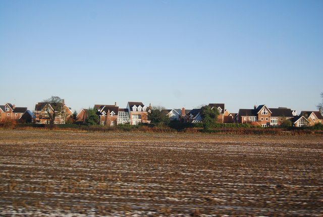
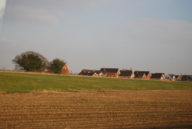
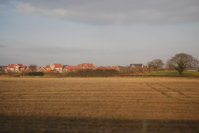
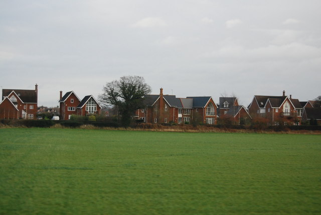
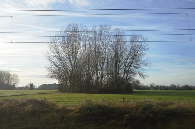
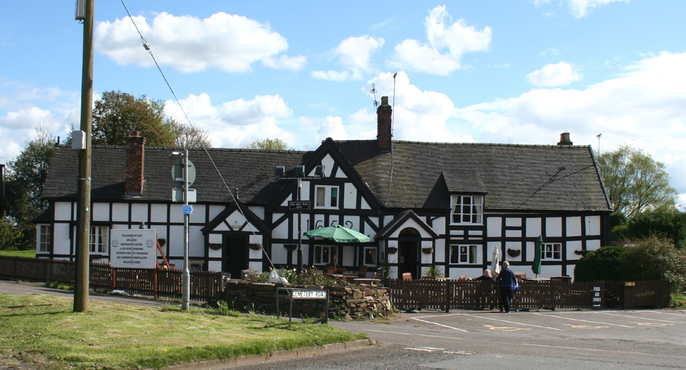
Weston Hall Images

Images are sourced within 2km of 53.06/-2.395 or Grid Reference SJ7351. Thanks to Geograph Open Source API. All images are credited.

Parish council noticeboard in Englesea Brook
Snape Lane Snape Lane is part of National Cycle Network route 551 (between Newcastle-under-Lyme and Winsford) and also the Two Saints' Way (between Chester and Lichfield).
Snape Lane
Snape Lane is part of National Cycle Network route 551 (between Newcastle-under-Lyme and Winsford) and also the Two Saints' Way (between Chester and Lichfield).
Eggs for sale £1.50 per half dozen, payment via a bleached and weatherbeaten honesty box. This is the start of the track to Snape Bank Farm, off Snape Lane. It is also the route of a public footpath, the other end of which is seen here <a title="https://www.geograph.org.uk/photo/7683238" href="https://www.geograph.org.uk/photo/7683238">Link</a>
Eggs for sale
£1.50 per half dozen, payment via a bleached and weatherbeaten honesty box. This is the start of the track to Snape Bank Farm, off Snape Lane. It is also the route of a public footpath, the other end of which is seen here Link
Leaving Englesea Brook Snape Lane is part of National Cycle Network route 551 (between Newcastle-under-Lyme and Winsford) and also the Two Saints' Way (between Chester and Lichfield).
Leaving Englesea Brook
Snape Lane is part of National Cycle Network route 551 (between Newcastle-under-Lyme and Winsford) and also the Two Saints' Way (between Chester and Lichfield).
Pylon off Snape Lane Snape Hall Barns are in the background to left and right of the pylon.
Pylon off Snape Lane
Snape Hall Barns are in the background to left and right of the pylon.
Entering Englesea Brook Snape Lane is part of National Cycle Network route 551 (between Newcastle-under-Lyme and Winsford) and also the Two Saints' Way (between Chester and Lichfield).
Entering Englesea Brook
Snape Lane is part of National Cycle Network route 551 (between Newcastle-under-Lyme and Winsford) and also the Two Saints' Way (between Chester and Lichfield).
Lane to Barthomley The lane from Englesea Brook to Barthomley is part of National Cycle Network route 551 (between Newcastle-under-Lyme and Winsford) and also the Two Saints' Way (between Chester and Lichfield).
Lane to Barthomley
The lane from Englesea Brook to Barthomley is part of National Cycle Network route 551 (between Newcastle-under-Lyme and Winsford) and also the Two Saints' Way (between Chester and Lichfield).
Footpath sign and kissing gate
Waybutt Lane heading towards The Anchorage
Mere Gutter from Waybutt Lane
Railway line to Crewe Rail House in Crewe is visible on the horizon
Railway line to Crewe
Rail House in Crewe is visible on the horizon
View from bridge of new houses by Waybutt Lane
Junction of Waybutt Lane and the A531
New houses and a ploughed field
New housing south of Chorlton
Housing, Waybutt Lane
Wooded pond
Wooded pond
Show me another place!

Weston Hall is located at Grid Ref: SJ7351 (Lat: 53.06, Lng: -2.395)

What 3 Words

///brilliant.diplomas.character. Near Weston, Cheshire

Nearby Locations

Weston Hall

Related Wikis

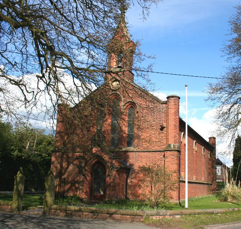
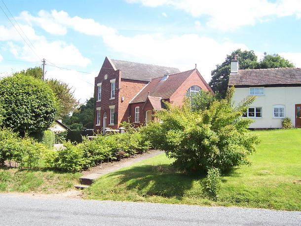
All Saints' Church, Weston, Cheshire

All Saints' Church is in Main Road, Weston, Cheshire, England. It is an active Anglican parish church in the deanery of Nantwich, the archdeaconry of...

Weston, Cheshire East

Weston is a village (at SJ730522) and former civil parish, now in the parish of Weston and Crewe Green, in the unitary authority area of Cheshire East...

Chorlton, Cheshire East

Chorlton is a village (at SJ728504) and former civil parish, now in the parish of Hough and Chorlton, in the unitary authority area of Cheshire East and...

Balterley Heath

Balterley Heath is a village in the traditional county of Cheshire, England. It is now part of Balterley in the administrative county of Staffordshire...

Basford railway station

Basford railway station was a station on the Grand Junction Railway serving the villages of Basford, Hough and Weston in what was then Cheshire, England...

Englesea-Brook

Englesea-Brook is a small rural village in the unitary authority of Cheshire East and the ceremonial county of Cheshire, England. Located close to Crewe...

Englesea Brook Chapel and Museum

Englesea Brook Chapel and Museum is in the village of Englesea-Brook, Cheshire, England. Built in 1828, the chapel was one of the earliest chapels of...

Black Firs and Cranberry Bog

Black Firs and Cranberry Bog is a nature reserve of the Staffordshire Wildlife Trust, adjacent to Balterley Heath and about 1 mile (1.6 km) north of the...

Related Videos

Holiday Workout

With the heart of the holiday season in full gear, many of you will be hitting the road in the coming weeks to visit family or to take ...

Uncover the untold secrets of Crewe Hall hotel

Experience the unique and eclectic Crewe Hall hotel and spa in this 24-hour tour. From the stunning architecture to the luxurious ...

£75 Crewe Hall Hotel & Spa - Bargain Overnight Stay With Pool Access

Stayed midweek https://youtu.be/NCeHHwKjUS0 Watch my full tour vlog here.

Nearby Amenities

Located within 500m of 53.06,-2.395
Bus Stop
Wychwood Village, Abbey Park Way / Club House
Bus: yes
Naptan AtcoCode: 0600CR19057
Naptan Bearing: NE
Naptan BusStopType: CUS
Naptan CommonName: Club House
Naptan Indicator: nr
Naptan Landmark: Club House
Naptan LocalityName: Wychwood Village
Naptan NaptanCode: chewdjp
Naptan ShortCommonName: Club House
Naptan Street: Abbey Park Way
Naptan Verified: no
Network: Cheshire East Council
Operator: Ansa Transport
Public Transport: platform
Source: naptan_import
Lat/Long: 53.0585249/-2.3891317
Bus Stop
Weston, Main Road / Weston Hall
Bus: yes
Naptan AtcoCode: 0600CR361
Naptan Bearing: NE
Naptan BusStopType: CUS
Naptan CommonName: Weston Hall
Naptan Indicator: NE-bound
Naptan Landmark: A550 Island
Naptan LocalityName: Weston
Naptan NaptanCode: chejtgj
Naptan ShortCommonName: Weston Hall
Naptan Street: Main Road
Naptan Verified: no
Network: Cheshire East Council
Operator: Ansa Transport
Public Transport: platform
Source: naptan_import
Lat/Long: 53.0595872/-2.3993621
Bus Stop
Weston, Main Road / Weston Hall
Bus: yes
Naptan AtcoCode: 0600CR362
Naptan Bearing: SW
Naptan BusStopType: CUS
Naptan CommonName: Weston Hall
Naptan Indicator: SW-bound
Naptan Landmark: A500 Island
Naptan LocalityName: Weston
Naptan NaptanCode: chejtgm
Naptan ShortCommonName: Weston Hall
Naptan Street: Main Road
Naptan Verified: no
Network: Cheshire East Council
Operator: Ansa Transport
Public Transport: platform
Source: naptan_import
Lat/Long: 53.0595177/-2.3992149
Bus Stop
Wychwood Park, Newcastle Road / Wychwood Park
Bus: yes
Naptan AtcoCode: 0600CR705
Naptan Bearing: E
Naptan CommonName: Wychwood Park
Naptan Indicator: E-bound
Naptan Landmark: Wychwood Park
Naptan LocalityName: Wychwood Park
Naptan NaptanCode: cheptpd
Naptan ShortCommonName: Wychwood Park
Naptan Street: Newcastle Road
Naptan Verified: no
Network: Cheshire East Council
Operator: Ansa Transport
Public Transport: platform
Source: naptan_import
Lat/Long: 53.0568074/-2.3929409
Bus Stop
Wychwood Park, Newcastle Road / Wychwood Park
Bus: yes
Naptan AtcoCode: 0600CR706
Naptan Bearing: W
Naptan CommonName: Wychwood Park
Naptan Indicator: W-bound
Naptan Landmark: Bus Shelter
Naptan LocalityName: Wychwood Park
Naptan NaptanCode: cheptpg
Naptan ShortCommonName: Wychwood Park
Naptan Street: Newcastle Road
Naptan Verified: no
Network: Cheshire East Council
Operator: Ansa Transport
Public Transport: platform
Source: naptan_import
Lat/Long: 53.0566724/-2.3929839
Bus Stop
Wychwood Park, Little Lakes
Bus: yes
Naptan AtcoCode: 0600CRD7555
Naptan Bearing: W
Naptan BusStopType: CUS
Naptan CommonName: Little Lakes
Naptan Crossing: Little Lakes
Naptan Indicator: cnr
Naptan Landmark: Little Lakes
Naptan LocalityName: Wychwood Park
Naptan NaptanCode: chewdjm
Naptan ShortCommonName: Little Lakes
Naptan Street: Wychwood Park
Naptan Verified: no
Network: Cheshire East Council
Operator: Ansa Transport
Public Transport: platform
Source: naptan_import
Lat/Long: 53.0558536/-2.3964719
Turning Circle
Lat/Long: 53.0606021/-2.3885552
Weston Gate
Place: locality
Source: Bing
Lat/Long: 53.0637079/-2.3950186
Turning Circle
Lat/Long: 53.0597957/-2.3904718
Noexit: yes
Lat/Long: 53.0598585/-2.3877199
Noexit: yes
Lat/Long: 53.0598118/-2.3878473
The data included in this document is from www.openstreetmap.org. The data is made available under ODbL.

Have you been to Weston Hall?

Leave your review of Weston Hall below (or comments, questions and feedback).