Western Howes
Heritage Site in Yorkshire
England
Western Howes
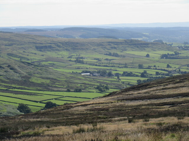
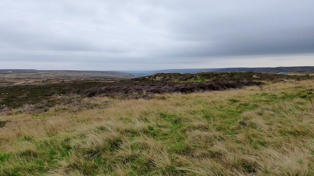
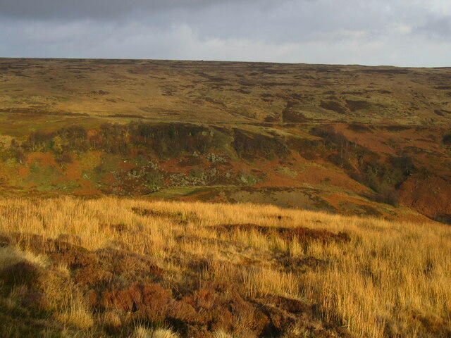
Western Howes is a historic heritage site located in Yorkshire, England. It is situated in the western part of the Howes region, which is known for its picturesque landscapes and rich historical significance. The site encompasses a vast area of rolling hills, lush green meadows, and ancient woodlands, making it a popular destination for nature enthusiasts and history buffs alike.
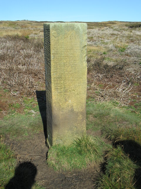
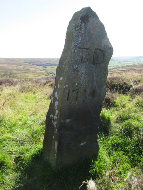
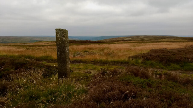
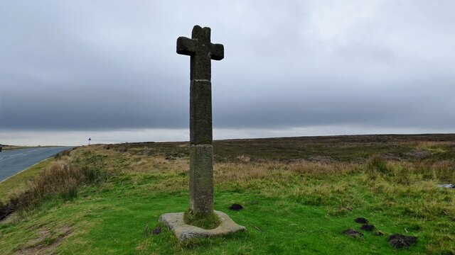
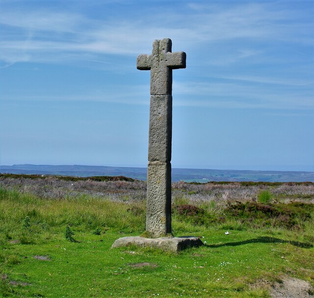
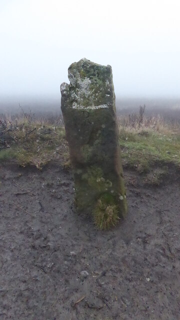
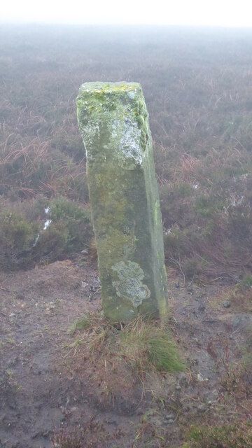
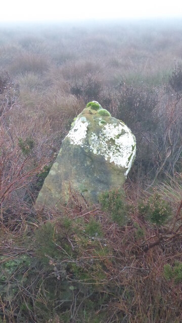
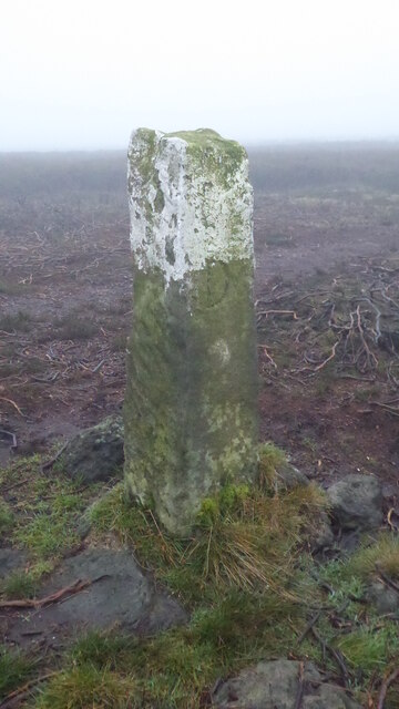
The heritage site is renowned for its well-preserved archaeological remains, dating back to the Neolithic and Bronze Age periods. These include burial mounds, stone circles, and standing stones, which provide valuable insights into the region's prehistoric past. The site also features remnants of Iron Age settlements, such as hillforts and earthworks, highlighting the area's significance as a strategic location during ancient times.
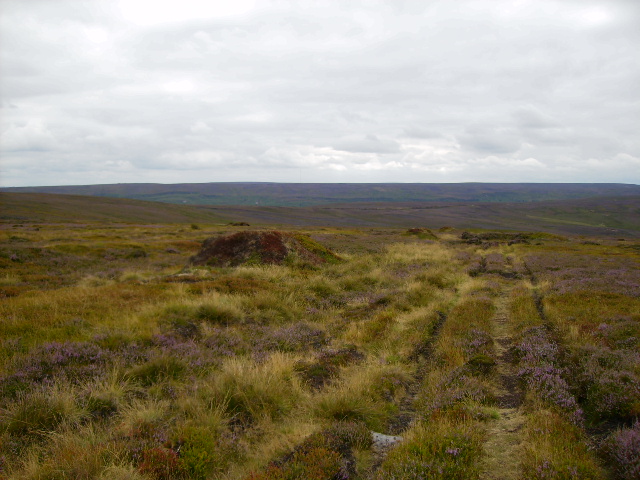
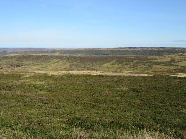
In addition to its archaeological importance, Western Howes boasts a diverse range of flora and fauna. The meadows are adorned with vibrant wildflowers, while the woodlands provide a habitat for various bird species, mammals, and insects. Visitors can explore the site through a network of well-maintained trails, allowing them to immerse themselves in the natural beauty and tranquility of the surroundings.
The heritage site is managed by a dedicated team of conservationists and archaeologists, who work tirelessly to protect and preserve its historical and ecological significance. Educational programs and guided tours are offered to visitors, providing an opportunity to learn about the site's rich heritage and the importance of conservation.
Overall, Western Howes in Yorkshire is a captivating heritage site that offers a unique blend of natural beauty and historical significance. It is a must-visit destination for those seeking to explore the region's ancient past and immerse themselves in its scenic landscapes.
If you have any feedback on the listing, please let us know in the comments section below.
Western Howes Images
Images are sourced within 2km of 54.413/-0.96 or Grid Reference NZ6702. Thanks to Geograph Open Source API. All images are credited.
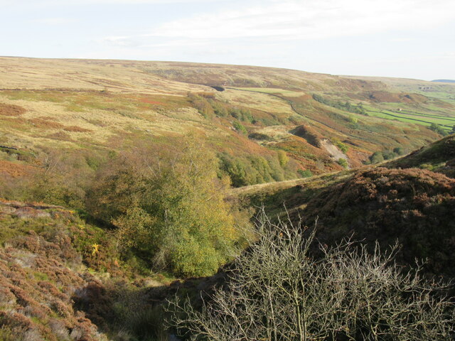
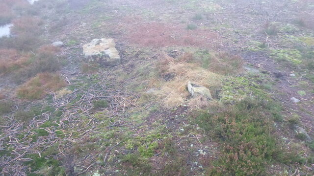
![Otter Hills I never know what’s the proper name for this dale. It’s the dale of Tower Beck which becomes Whyett Beck before its confluence with the River Esk which takes the name Westerdale up to the river’s source in the Esklets.
Yet if you follow Tower Beck upstream to its source just below Young Ralph Cross you come to, wait for it, Westerdale Head.
One thing that is worth noting, Dale End Farm, the highest farm in the dale was, in the 18th-century recorded as Trowsdale End Farm. This first element of ‘Trow’ is pretty similar to Tower of the beck. Right letters, wrong order. Coincidence?
It’s the first time I have been into the head of this dale. Many times have I driven up the road from Westerdale village or along Castleton Rigg to Rosedale Head but never ventured into the depths between. Depths which are devoid of any Public Rights of Way and so not easy to traverse.
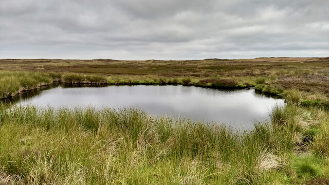
I had gone to suss out this pond. A lovely little pond, clear water but alas not very deep. I could see the bottom. No discernible inflow with just a marshy outflow, so probably spring fed. It’s in a hollow behind what is certainly a land slump. This west side of the dale is very broken and complex, reminding me of Great Fryup Dale. A line of broken crags overlooking an area of humps and bumps which the Rev. Canon Atkinson says of Great Fryup Dale is an undercliff, formed by wave action when a glacial lake filled Eskdale and its side valleys. This must be another example of the same phenomena. The tops of the crags are about the same height, 350m asl. and similar erosion on the west side which might be explained by a combination of the prevailing wave action and the incline of the underlying rock strata.
Another thing which is intriguing me about this area is the name given on the map: Otter Hills, a name I know from another complex area near Turkey Nab although the complexity there derives from jet working. It’s not an uncommon name, there are Otter Hills in Rosedale and Sleightholm Dale to the south of Bransdale. The temptation is that the name derives from the Old English ‘Oter‘ for the aquatic mammal but this was also a personal name which seems a likelier root as I can’t imagine this being good terrain for otters.
For sources and references see Out and about ... (2020). Otter Hills, Westerdale. [online] Available at: <span class="nowrap"><a title="http://www.fhithich.uk/?p=24515" rel="nofollow ugc noopener" href="http://www.fhithich.uk/?p=24515">Link</a><img style="margin-left:2px;" alt="External link" title="External link - shift click to open in new window" src="https://s1.geograph.org.uk/img/external.png" width="10" height="10"/></span> [Accessed 11 Dec. 2021].](https://s3.geograph.org.uk/geophotos/07/04/11/7041115_ffec49c2.jpg)
Western Howes is located at Grid Ref: NZ6702 (Lat: 54.413, Lng: -0.96)
Division: North Riding
What 3 Words
///saving.texted.supposes. Near Danby, North Yorkshire
Nearby Locations
Related Wikis

Botton, North Yorkshire
Botton is a small village within the North York Moors National Park in North Yorkshire, England which is mainly a Camphill Community for people with learning...

Lion Inn
The Lion Inn is a public house at Blakey Ridge, near Kirkbymoorside, in North Yorkshire, England. The building was completed between 1553 and 1558 (dates...
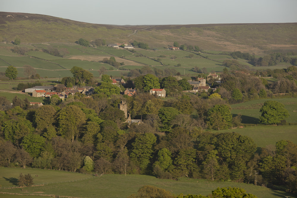
Westerdale
Westerdale is a village, civil parish and dale within the Scarborough district of North Yorkshire, England. The Esk Valley Walk runs through part of the...
Westerdale Preceptory
Westerdale Preceptory was a priory in Westerdale, North Yorkshire, England. The land was donated to the Knights Templar by Guido de Bovingcourt in 1203...
Nearby Amenities
Located within 500m of 54.413,-0.96Have you been to Western Howes?
Leave your review of Western Howes below (or comments, questions and feedback).