Watling Street
Heritage Site in Hertfordshire St. Albans
England
Watling Street
Watling Street is a historic road located in Hertfordshire, England. It is a significant heritage site that dates back to Roman times. This ancient road was originally constructed by the Romans in the 1st century AD as part of their extensive network of highways across Britain.
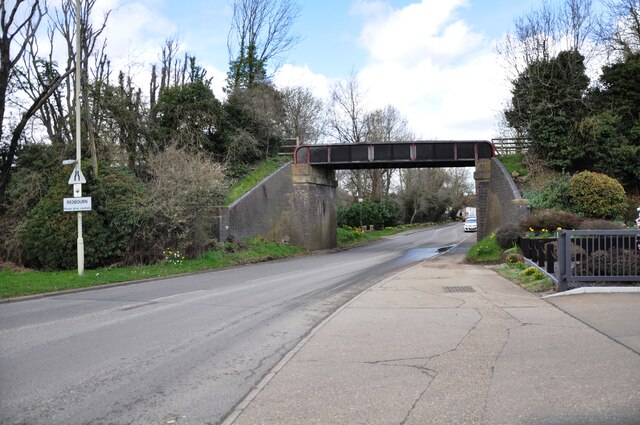
Watling Street stretches for approximately 200 miles, starting from London and running through Hertfordshire and several other counties before reaching its final destination in Chester. In Hertfordshire, the road passes through various towns and villages, including St Albans, Baldock, and Dunstable.
Throughout history, Watling Street has played a crucial role in trade and transportation. It was an important route for the Romans to transport goods, troops, and information across the country. Over the centuries, the road continued to be used by travelers, including pilgrims, merchants, and armies.
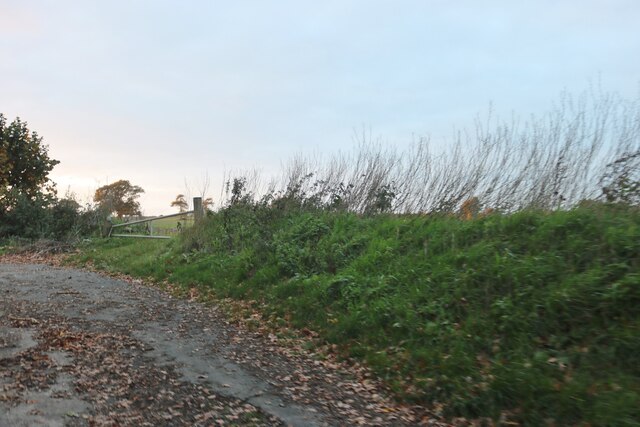
Today, Watling Street remains an essential part of Hertfordshire's cultural and historical fabric. Many sections of the road have been preserved and can still be walked or driven on. The route offers a fascinating glimpse into the past, with traces of Roman engineering, including some original paving stones and ditches, still visible in certain areas.
As a heritage site, Watling Street attracts visitors from around the world who are interested in exploring its historical significance. The road provides a unique opportunity to experience the ancient Roman legacy firsthand and appreciate the role it played in shaping the region's history and development.
If you have any feedback on the listing, please let us know in the comments section below.
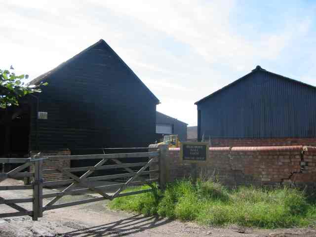
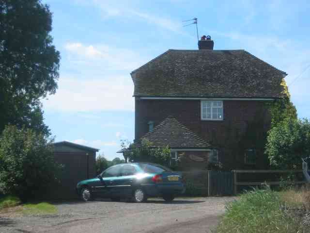
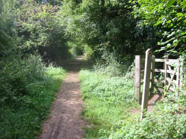
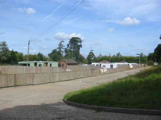
Watling Street Images
Images are sourced within 2km of 51.782/-0.383 or Grid Reference TL1110. Thanks to Geograph Open Source API. All images are credited.


Watling Street is located at Grid Ref: TL1110 (Lat: 51.782, Lng: -0.383)
Administrative County: Hertfordshire
District: St. Albans
Police Authority: Hertfordshire
What 3 Words
///take.dawn.sang. Near Redbourn, Hertfordshire
Nearby Locations
Related Wikis

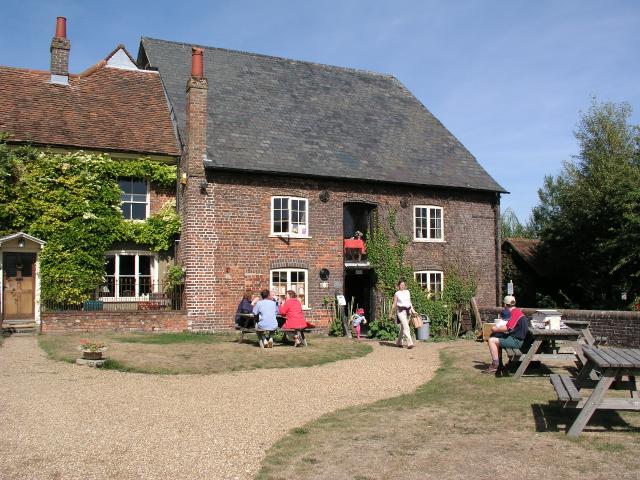
Redbournbury Mill
Redbournbury Mill, is a Grade II* listed flour mill in Redbournbury, Hertfordshire, England, which is thought to have been first built in the early 11th...

Redbournbury
Redbournbury is a hamlet in the county of Hertfordshire. It is located near the A5 road in between the city of St Albans and the large village of Redbourn...
Redbourn railway station
Redbourn railway station served the village of Redbourn, Hertfordshire, England from 1887 to 1964 on the Nickey Line. == History == The station opened...
Beaumont's Halt railway station
Beaumont's Halt railway station was in Hertfordshire, England from 1905 to 1963 on the Nickey Line. == History == The station opened on 9 August 1905...
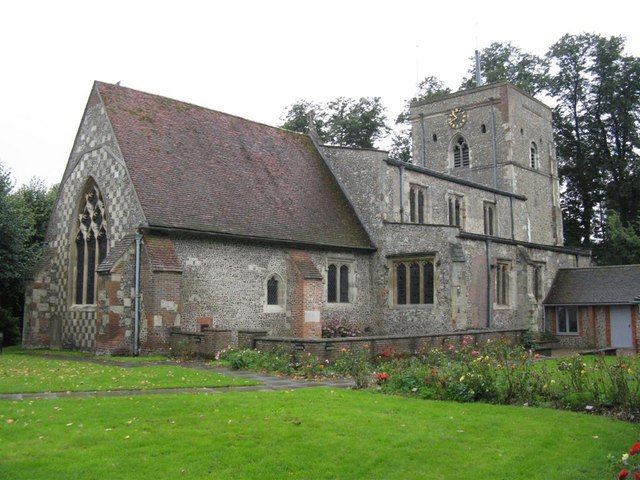
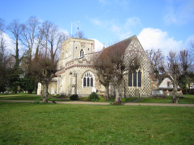
St Mary's Church, Redbourn
St Mary's Church is an active Grade I listed parish church in the Church of England in Redbourn, Hertfordshire, England. The building is Grade I listed...
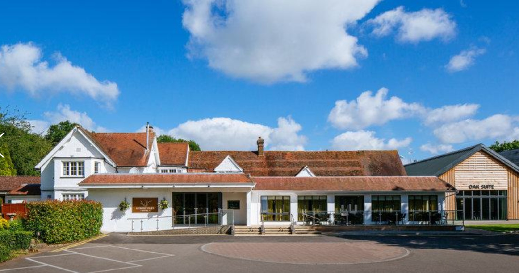
Aubrey Park Hotel
Aubrey Park, Redbourn in Hertfordshire is a building of historical significance and is listed on the English Heritage Register. Parts of the building date...
Redbourn
Redbourn is a village and civil parish in Hertfordshire, England, lying on Watling Street, three miles (4.8 km) from Harpenden, four miles (6.4 km) from...

Childwickbury
Childwickbury is a hamlet in Hertfordshire, England lying to the north of St Albans in the parish of St Michael. Childwickbury Manor was home to Stanley...
Nearby Amenities
Located within 500m of 51.782,-0.383Have you been to Watling Street ?
Leave your review of Watling Street below (or comments, questions and feedback).