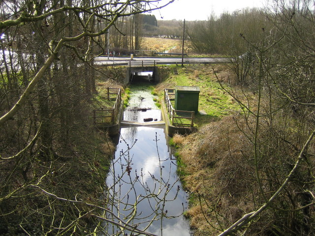
Mill Stream

Lake, Pool, Pond, Freshwater Marsh in Hertfordshire St. Albans

England

Mill Stream

Punch Bowl Lane, Redbournbury
Punch Bowl Lane, Redbournbury Credit: David Howard

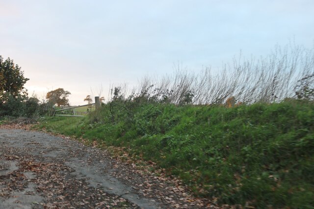
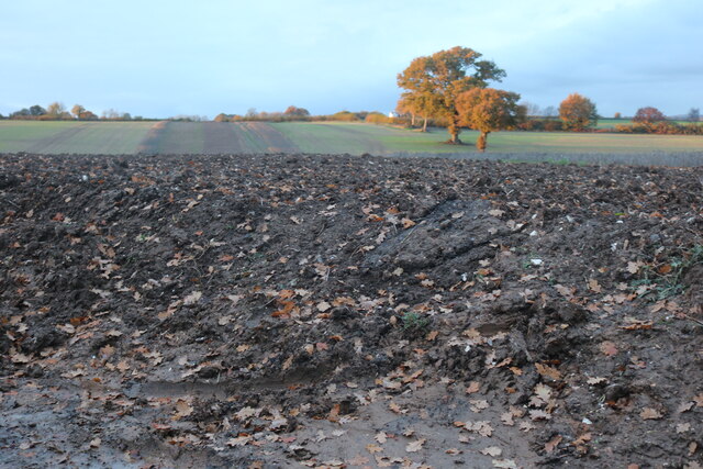
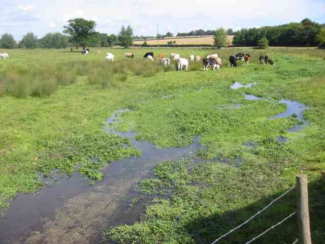
Mill Stream is a small freshwater marsh located in Hertfordshire, England. Situated within a picturesque landscape, it serves as a valuable habitat for a diverse range of flora and fauna. The stream itself is relatively small in size, measuring approximately 200 meters in length. It is fed by a natural spring and flows gently through a meadow before joining a larger river system.

The marshland surrounding Mill Stream is characterized by its abundance of water-loving plants and reeds. These provide a safe haven for many species of waterfowl, including ducks, swans, and herons. The area is also home to a variety of amphibians, such as frogs and newts, which thrive in the marsh's wet and marshy conditions.

The stream is flanked by a dense cluster of trees, which provide shade and shelter for the wildlife. This wooded area is frequented by small mammals like squirrels and hedgehogs. Additionally, the stream's clear and pristine waters are teeming with fish, making it a popular spot for anglers.

Mill Stream is a tranquil and peaceful location, attracting visitors who seek solace in nature. Its calm waters reflect the beauty of the surrounding landscape, creating a serene and idyllic atmosphere. Many nature enthusiasts and photographers are drawn to the stream's natural beauty, capturing images of its diverse wildlife and capturing the essence of this hidden gem in Hertfordshire.

Overall, Mill Stream is a haven for wildlife and a place of natural beauty. Its marshland, clear waters, and lush vegetation provide a thriving ecosystem that supports a wide range of flora and fauna, making it a must-visit destination for nature lovers.

If you have any feedback on the listing, please let us know in the comments section below.
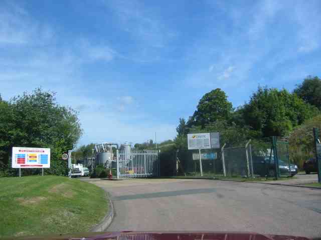
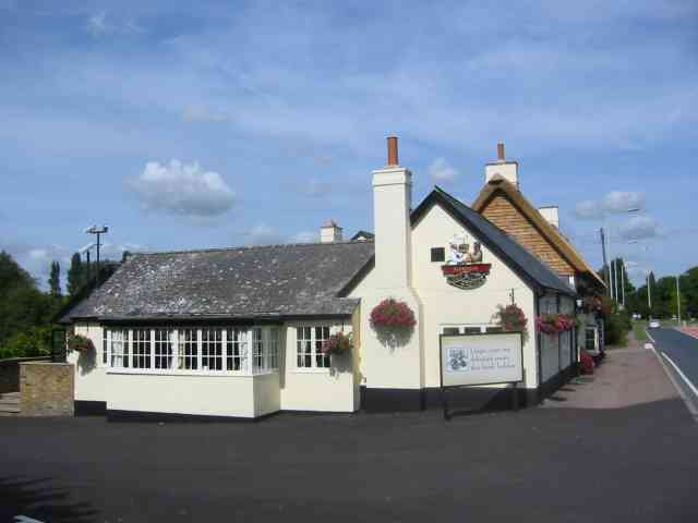
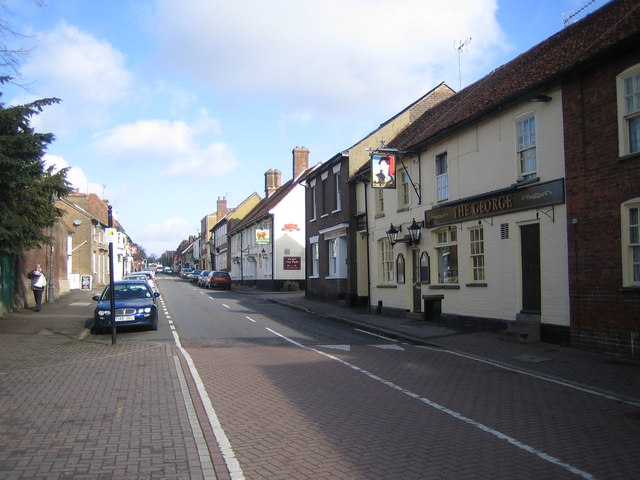
Mill Stream Images

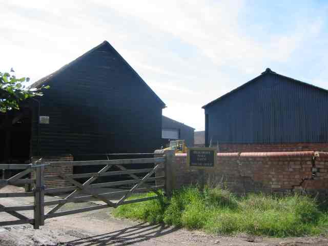
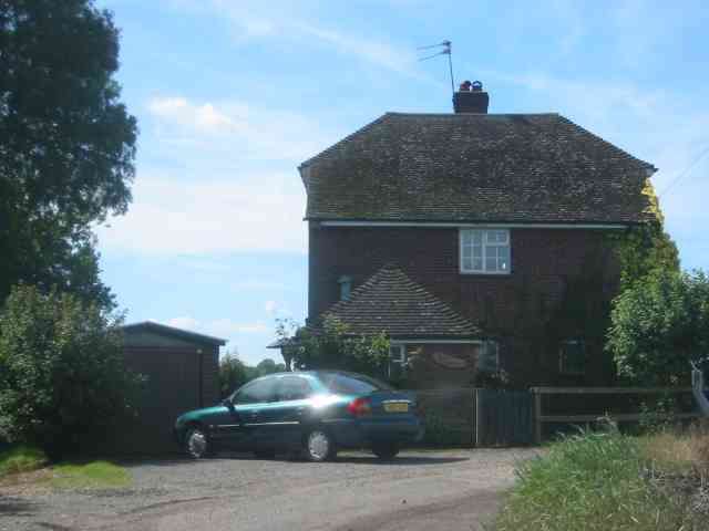
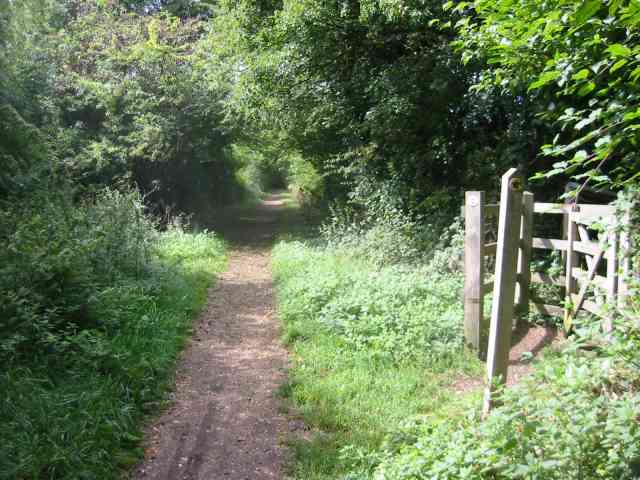
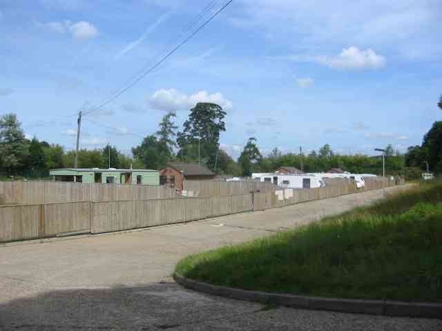
Images are sourced within 2km of 51.783568/-0.37868031 or Grid Reference TL1110. Thanks to Geograph Open Source API. All images are credited.

Punch Bowl Lane, Redbournbury
Grass and field by Punch Bowl Lane, Redbournbury
Field by Punch Bowl Lane, Redbournbury
Bridge over Redbourn High Street The disused railway bridge crossing Redbourn High Street, once the A5.  The single line ran from Harpenden to Hemel Hempstead and was built by the Midland Railway.  Passenger services ceased in 1947, but the full length of the line was not closed and removed until 1982.  Nowadays a large part of the line is used as a cycleway and footpath, known as the 'Nickey Line'.
Bridge over Redbourn High Street
The disused railway bridge crossing Redbourn High Street, once the A5. The single line ran from Harpenden to Hemel Hempstead and was built by the Midland Railway. Passenger services ceased in 1947, but the full length of the line was not closed and removed until 1982. Nowadays a large part of the line is used as a cycleway and footpath, known as the 'Nickey Line'.
Redbournbury Mill
Redbournbury Mill
Beaumont Hall Farm Farm buildings painted black and with the sun behind them
Beaumont Hall Farm
Farm buildings painted black and with the sun behind them
House at Gate to Dane End Farm Gates operated by digital locks. Sun at the wrong time.
House at Gate to Dane End Farm
Gates operated by digital locks. Sun at the wrong time.
New Housing called The Park, Redbourn The design is simple without bits planted on.
New Housing called The Park, Redbourn
The design is simple without bits planted on.
Old Railway line now Cycle path  Redbourn Designated as part of the National Cycle network one hopes that cyclists will respect pedestrians as well.
Old Railway line now Cycle path Redbourn
Designated as part of the National Cycle network one hopes that cyclists will respect pedestrians as well.
A traveller's campsite at Redbourn The site is well hidden from the highway but road surfaces seems excessive.Extra  plots would have been more useful
A traveller's campsite at Redbourn
The site is well hidden from the highway but road surfaces seems excessive.Extra plots would have been more useful
Onyx recycling at Redbournbury Onyx vehicles are tankers so the recycling is of liquids but that is the extent of my knowledge.
Onyx recycling at Redbournbury
Onyx vehicles are tankers so the recycling is of liquids but that is the extent of my knowledge.
River Ver with cattle at Redbournbury The recycling works are just to the right of the picture so I hope they never have an accidental spillage.
River Ver with cattle at Redbournbury
The recycling works are just to the right of the picture so I hope they never have an accidental spillage.
Petrol filling station at Redbourn My chariot is also in the picture.
Petrol filling station at Redbourn
My chariot is also in the picture.
Chef and Brewer Pub   Redbourn The pub is right next door to the filling station. They cater for travellers more than locals.
Chef and Brewer Pub Redbourn
The pub is right next door to the filling station. They cater for travellers more than locals.
Redbourn: The High Street Once the Roman Watling Street, then the arterial A5, then downgraded to the A5183, and now with A5183 by-passing it to remove through traffic, this is the main street in Redbourn, viewed looking northwards. The George and The Bull are the two Public Houses on the right side of the road.
Redbourn: The High Street
Once the Roman Watling Street, then the arterial A5, then downgraded to the A5183, and now with A5183 by-passing it to remove through traffic, this is the main street in Redbourn, viewed looking northwards. The George and The Bull are the two Public Houses on the right side of the road.
Redbourn: The River Red The River Red, after which Redbourn is named, flows through West Common and is a major tributary of the River Ver. Viewed here looking upstream and westwards towards Hemel Hempstead Road.
Redbourn: The River Red
The River Red, after which Redbourn is named, flows through West Common and is a major tributary of the River Ver. Viewed here looking upstream and westwards towards Hemel Hempstead Road.
River Ver south of Redbourn Viewed looking southwards and downstream from the Nicky Line bridge, the green cabinet is the housing for the Environment Agency's water gauging station. The bridge beyond carries the by-pass around the south side of Redbourn.
River Ver south of Redbourn
Viewed looking southwards and downstream from the Nicky Line bridge, the green cabinet is the housing for the Environment Agency's water gauging station. The bridge beyond carries the by-pass around the south side of Redbourn.
Redbourn:  A5183 / B487 roundabout Viewed looking southwards from the Nicky Line bridge, this is the roundabout on the south side of Redbourn. The road leading off southwards is the Roman Road, Watling Street, formerly the arterial A5, and now the A5183. The road to the left is the Redbourn eastern by-pass (A5183) which rejoins the route of the old A5 north of Redbourn, and the road to the right is the Redbourn southern by-pass (B487) leading to Hemel Hempstead.
Redbourn: A5183 / B487 roundabout
Viewed looking southwards from the Nicky Line bridge, this is the roundabout on the south side of Redbourn. The road leading off southwards is the Roman Road, Watling Street, formerly the arterial A5, and now the A5183. The road to the left is the Redbourn eastern by-pass (A5183) which rejoins the route of the old A5 north of Redbourn, and the road to the right is the Redbourn southern by-pass (B487) leading to Hemel Hempstead.
Show me another place!

Mill Stream is located at Grid Ref: TL1110 (Lat: 51.783568, Lng: -0.37868031)

Administrative County: Hertfordshire

District: St. Albans

Police Authority: Hertfordshire

What 3 Words

///goals.apples.boats. Near Redbourn, Hertfordshire

Related Wikis

Redbournbury Mill

Redbournbury Mill, is a Grade II* listed flour mill in Redbournbury, Hertfordshire, England, which is thought to have been first built in the early 11th...

Redbournbury

Redbournbury is a hamlet in the county of Hertfordshire. It is located near the A5 road in between the city of St Albans and the large village of Redbourn...

Redbourn railway station

Redbourn railway station served the village of Redbourn, Hertfordshire, England from 1887 to 1964 on the Nickey Line. == History == The station opened...

Childwickbury

Childwickbury is a hamlet in Hertfordshire, England, lying to the north of St Albans in the parish of St Michael. Childwickbury Manor was home to Stanley...

Childwickbury Stud

Childwickbury Stud is a Thoroughbred horse breeding farm near St Albans, Hertfordshire, England. Originally built in 1888 by Sir John Blundell Maple as...

Beaumont's Halt railway station

Beaumont's Halt railway station was in Hertfordshire, England from 1905 to 1963 on the Nickey Line. == History == The station opened on 9 August 1905...

Ahm House

The Ahm House at 44 West Common Way is a house in Harpenden in Hertfordshire, England. It was built between 1961 and 1963 by the structural engineer Povl...

Childwickbury Manor

Childwickbury Manor is a manor house in the hamlet of Childwickbury, Hertfordshire, England, between St Albans and Harpenden. == History == The Lomax family...

Nearby Amenities

Located within 500m of 51.783568,-0.37868031
Barrier: kissing_gate
Foot: yes
Source: GPS, observation
Lat/Long: 51.7851395/-0.3801334
Barrier: kissing_gate
Lat/Long: 51.7808756/-0.3747004
Ele NPE: 318 ft
Source: npe
Lat/Long: 51.7839482/-0.3840752
Bus Stop
Redbournbury Lane
Naptan AtcoCode: 210021502660
Naptan Bearing: SE
Naptan CommonName: Redbournbury Lane
Naptan Crossing: Redbournbury Lane
Naptan Indicator: adj
Naptan Landmark: Redbournbury Lane
Naptan NaptanCode: hrtawtwa
Naptan PlusbusZoneRef: HRPNDN;STALBCY
Naptan ShortCommonName: NA
Naptan Street: Redbourn Road
Naptan Verified: no
Public Transport: platform
Source: naptan_import
Lat/Long: 51.7823253/-0.3827278
Bus Stop
Punch Bowl Lane
Naptan AtcoCode: 210021502680
Naptan Bearing: SE
Naptan CommonName: Punch Bowl Lane
Naptan Crossing: Fudge Nightclub
Naptan Indicator: opp
Naptan Landmark: Fudge Nightclub
Naptan NaptanCode: hrtawtwd
Naptan PlusbusZoneRef: STALBCY
Naptan ShortCommonName: NA
Naptan Street: Redbourn Road
Naptan Verified: no
Public Transport: platform
Source: naptan_import
Lat/Long: 51.7796107/-0.3808388
Bus Stop
Redbournbury Lane
Naptan AtcoCode: 210021509060
Naptan Bearing: NW
Naptan CommonName: Redbournbury Lane
Naptan Crossing: opp Redbournbury Lane
Naptan Indicator: opp
Naptan Landmark: opp Redbournbury Lane
Naptan NaptanCode: hrtatpwm
Naptan PlusbusZoneRef: HRPNDN;STALBCY
Naptan ShortCommonName: NA
Naptan Street: Redbourn Road
Naptan Verified: no
Public Transport: platform
Source: naptan_import
Lat/Long: 51.7826283/-0.3831809
Ford: yes
Lat/Long: 51.7852158/-0.3772214
Barrier: kissing_gate
Source: GPS, observation
Lat/Long: 51.7829813/-0.3756772
Ford: yes
Lat/Long: 51.7843672/-0.3788929
Barrier: kissing_gate
Foot: yes
Source: GPS, observation
Lat/Long: 51.7801102/-0.3743177
Bench
Backrest: yes
Lat/Long: 51.785224/-0.3770165
Barrier: kissing_gate
Foot: yes
Source: GPS, observation
Lat/Long: 51.7850625/-0.3801388
Ford: yes
Lat/Long: 51.7806124/-0.375472
The data included in this document is from www.openstreetmap.org. The data is made available under ODbL.

Have you been to Mill Stream?

Leave your review of Mill Stream below (or comments, questions and feedback).