Warmleybury
Heritage Site in Hertfordshire Broxbourne
England
Warmleybury
Warmleybury is a historic heritage site located in Hertfordshire, England. It is situated near the village of Warmley, approximately 20 miles north of London. The site is known for its picturesque landscape and impressive architecture, making it a popular destination for visitors interested in history and natural beauty.
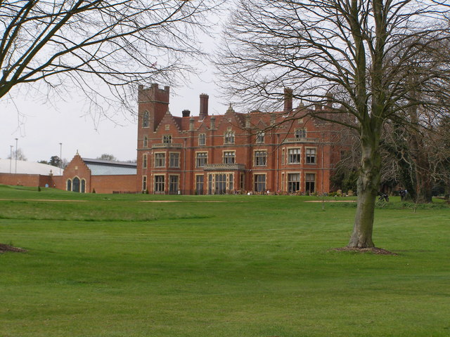
The main attraction of Warmleybury is the Warmley House, a grand mansion built in the 18th century. The house is a prime example of Georgian architecture, characterized by its symmetrical design, elegant proportions, and classical details. The interior of the house features stunning period furnishings and artwork, providing a glimpse into the opulent lifestyle of the previous owners.
Surrounding Warmley House is a beautiful parkland, known as Warmley Gardens. The gardens are meticulously maintained, with well-manicured lawns, vibrant flower beds, and meandering pathways. The site also boasts a large lake, which adds to the tranquility and charm of the surroundings.
Aside from its architectural and natural beauty, Warmleybury is also significant for its historical importance. The site has witnessed various historical events and has been associated with notable figures throughout its existence. It has been well-preserved over the years and is now open to the public, allowing visitors to explore and appreciate its rich history and stunning scenery.
In conclusion, Warmleybury in Hertfordshire is a remarkable heritage site that showcases the best of Georgian architecture, stunning parkland, and a rich historical legacy. It is a must-visit destination for those who appreciate beauty, history, and culture.
If you have any feedback on the listing, please let us know in the comments section below.
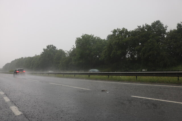
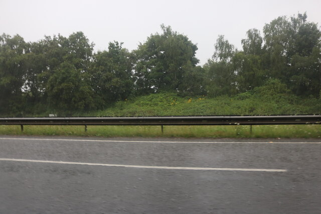
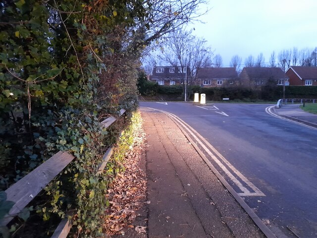
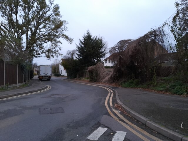
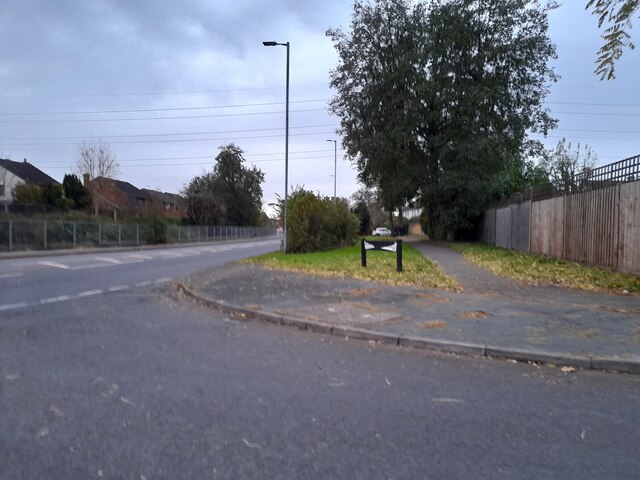
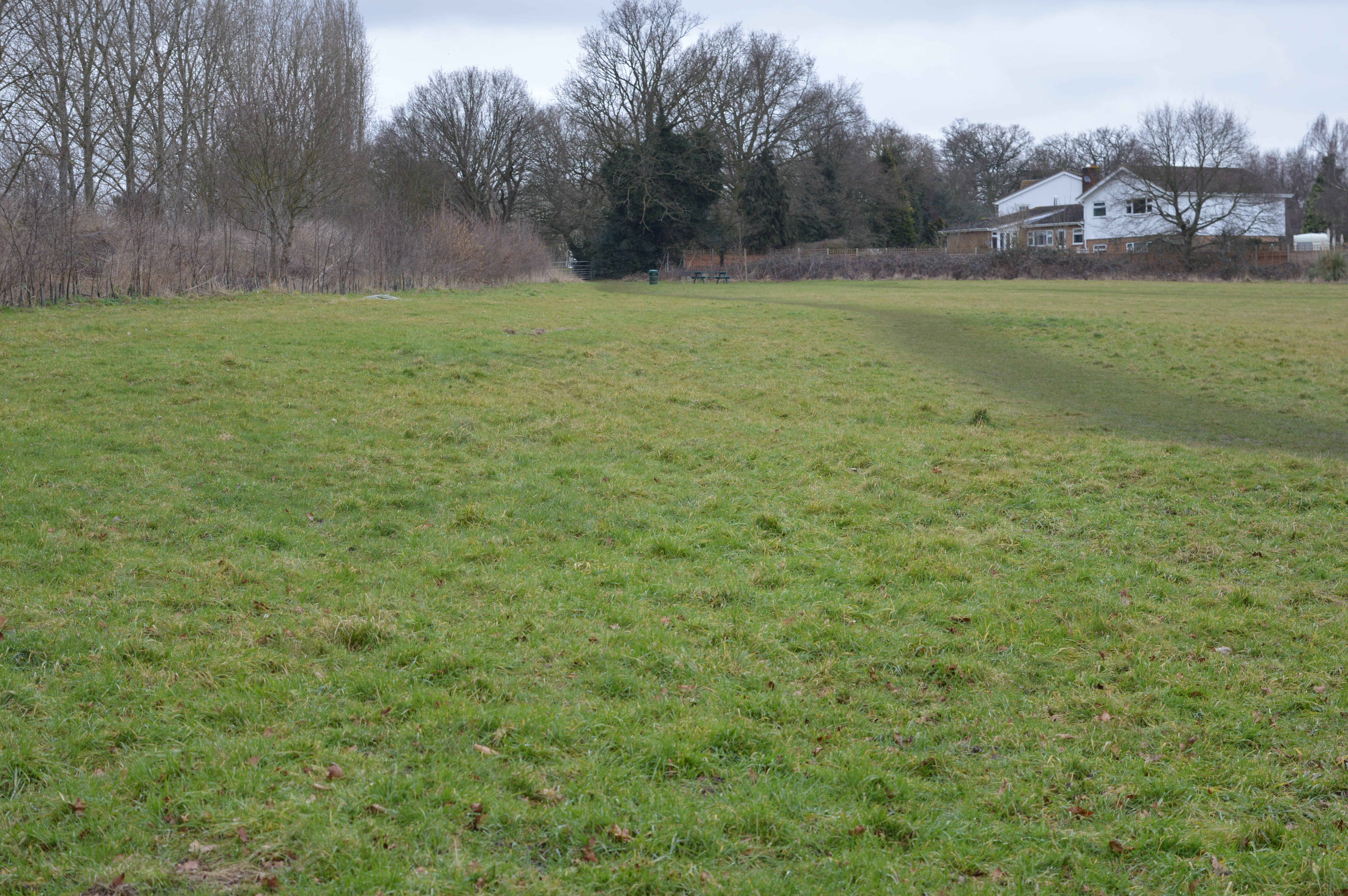
Warmleybury Images
Images are sourced within 2km of 51.732/-0.037 or Grid Reference TL3505. Thanks to Geograph Open Source API. All images are credited.


Warmleybury is located at Grid Ref: TL3505 (Lat: 51.732, Lng: -0.037)
Administrative County: Hertfordshire
District: Broxbourne
Police Authority: Hertfordshire
What 3 Words
///tiger.hurt.parade. Near Broxbourne, Hertfordshire
Nearby Locations
Related Wikis

Wormleybury Brook
Wormleybury Brook is a tributary of the River Lea which rises in the hills south of White Stubbs Lane in Hertfordshire, England.

Wormleybury
Wormleybury is an 18th-century house surrounded by a landscaped park of 57 ha (140 acres) near Wormley in Broxbourne, Hertfordshire, England, a few miles...
Wormley Rovers F.C.
Wormley Rovers Football Club is a football club based in Wormley, Hertfordshire. They are currently members of the Eastern Counties League Division One...
Top Field and Cozens Grove
Top Field and Cozens Grove is a 6.1 hectare Local Nature Reserve in Wormley in Hertfordshire. It is owned and managed by Broxbourne Borough Council.Top...
The Broxbourne School
The Broxbourne School is a coeducational secondary school and sixth form with academy status located in Broxbourne, Hertfordshire, England. The school...

Turnford, Hertfordshire
Turnford is a village in the Borough of Broxbourne, in Hertfordshire, England, in an area generally known as the Lee Valley. It is bounded by Wormley to...
Broxbournebury Manor
Broxbournebury Manor is a country club in Broxbourne, Hertfordshire, England. It is a building of historical significance and is listed on the English...

Paradise Wildlife Park
Paradise Wildlife Park is a family-run wildlife park and charity located in Broxbourne, Hertfordshire, England. Previously known as Broxbourne Zoo, it...
Nearby Amenities
Located within 500m of 51.732,-0.037Have you been to Warmleybury?
Leave your review of Warmleybury below (or comments, questions and feedback).