Kitchenmead Wood
Wood, Forest in Hertfordshire Broxbourne
England
Kitchenmead Wood
Kitchenmead Wood is a charming woodland located in Hertfordshire, England. Covering an area of approximately 80 acres, it is a popular destination for nature enthusiasts and hikers alike. The wood is situated near the village of Essendon, just a short drive from the bustling town of Hatfield.
This ancient woodland is primarily composed of deciduous trees, including oak, beech, and ash. The diverse range of flora and fauna found within the wood makes it a haven for wildlife. Visitors may spot various bird species, such as woodpeckers and owls, as well as small mammals like squirrels and foxes.
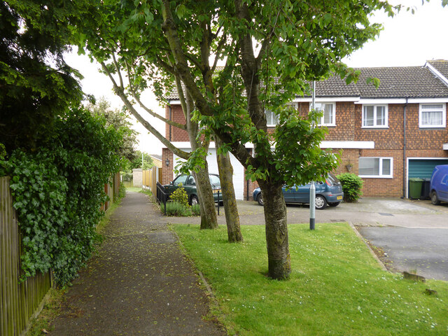
The wood offers a network of well-maintained footpaths, making it an ideal location for leisurely walks or more adventurous hikes. The paths wind through the wood, leading visitors through enchanting glades and peaceful clearings. Along the way, they may encounter beautiful wildflowers and towering ferns, adding to the wood's natural beauty.
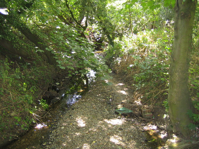
Kitchenmead Wood is also home to a small stream, which meanders through the woodland, adding to its tranquil atmosphere. The soothing sound of flowing water further enhances the sense of peace and tranquility that can be found within the wood.
The area is managed by a local conservation group, ensuring its preservation and protection for future generations to enjoy. With its natural beauty and abundant wildlife, Kitchenmead Wood offers an idyllic escape from the hustle and bustle of everyday life, providing visitors with a chance to reconnect with nature in a peaceful and serene setting.
If you have any feedback on the listing, please let us know in the comments section below.
Kitchenmead Wood Images
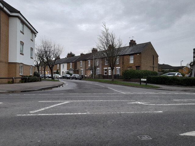
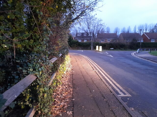
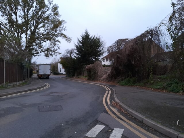
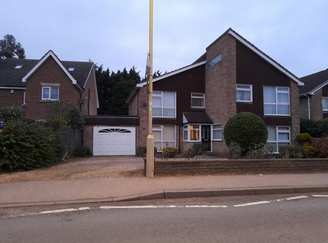
Images are sourced within 2km of 51.727721/-0.044408671 or Grid Reference TL3505. Thanks to Geograph Open Source API. All images are credited.


Kitchenmead Wood is located at Grid Ref: TL3505 (Lat: 51.727721, Lng: -0.044408671)
Administrative County: Hertfordshire
District: Broxbourne
Police Authority: Hertfordshire
What 3 Words
///straw.useful.layers. Near Broxbourne, Hertfordshire
Nearby Locations
Related Wikis

Wormleybury Brook
Wormleybury Brook is a tributary of the River Lea which rises in the hills south of White Stubbs Lane in Hertfordshire, England.

Wormleybury
Wormleybury is an 18th-century house surrounded by a landscaped park of 57 ha (140 acres) near Wormley in Broxbourne, Hertfordshire, England, a few miles...

Cheshunt Park
Cheshunt Park is a 40 hectare public park and Local Nature Reserve in Cheshunt in Hertfordshire. It is owned and managed by Broxbourne Borough Council...
Wormley Rovers F.C.
Wormley Rovers Football Club is a football club based in Wormley, Hertfordshire. They are currently members of the Eastern Counties League Division One...

Turnford, Hertfordshire
Turnford is a village in the Borough of Broxbourne, in Hertfordshire, England, in an area generally known as the Lee Valley. It is bounded by Wormley to...

Broxbourne (UK Parliament constituency)
Broxbourne is a constituency in Hertfordshire represented in the House of Commons of the UK Parliament since 2005 by Charles Walker of the Conservative...
Rags Brook
Rags Brook is a tributary of the Small River Lea, which is a tributary of the River Lea. Rags Brook rises in the hills between Goffs Oak Cuffley in Hertfordshire...

Paradise Wildlife Park
Paradise Wildlife Park is a family-run wildlife park and charity located in Broxbourne, Hertfordshire, England. Previously known as Broxbourne Zoo, it...
Nearby Amenities
Located within 500m of 51.727721,-0.044408671Have you been to Kitchenmead Wood?
Leave your review of Kitchenmead Wood below (or comments, questions and feedback).