Wamil Hall

Heritage Site in Suffolk

England

Wamil Hall

Mildenhall Road, Worlington Worlington Hall Country House Hotel is on the left.
Mildenhall Road, Worlington Credit: David Howard

Wamil Hall, located in Suffolk, England, is an important heritage site that holds significant historical and architectural value. This Grade II* listed building dates back to the 16th century, making it a prime example of Tudor architecture. The hall is situated in the village of Wamil, which is known for its picturesque countryside and charming rural atmosphere.

The exterior of Wamil Hall boasts a stunning timber-framed structure, which exemplifies the craftsmanship of the era. The building features intricate carvings, decorative panels, and a prominent jettied upper storey. Its steeply pitched roof and tall chimneys further enhance its Tudor design.

Inside, the hall showcases a range of period features, including exposed timber beams, original fireplaces, and ornate plasterwork. The rooms display a combination of Tudor and Georgian styling, reflecting the hall's evolution over the centuries. Visitors can explore the grand reception rooms, drawing rooms, and bedrooms, which offer a glimpse into the luxurious lifestyle enjoyed by the hall's previous owners.

Surrounding the hall is a beautiful landscaped garden, which adds to the charm of the site. The garden features well-manicured lawns, flowerbeds, and mature trees, providing a serene and peaceful environment for visitors to enjoy. The hall is also home to a small chapel, which holds occasional religious services and adds to the historical and cultural significance of the site.

Wamil Hall, Suffolk, is a captivating heritage site that offers a unique opportunity to step back in time and experience the grandeur of Tudor architecture and rural English life. With its rich history, architectural beauty, and tranquil surroundings, this site is a must-visit for history enthusiasts and those seeking a peaceful retreat in the heart of Suffolk.

If you have any feedback on the listing, please let us know in the comments section below.
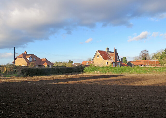
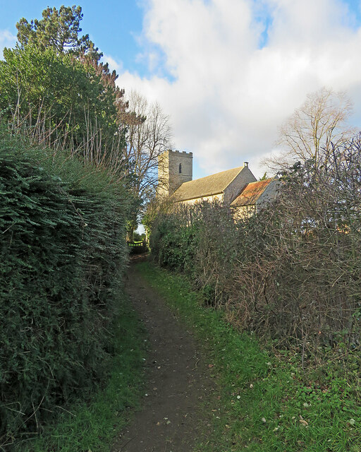
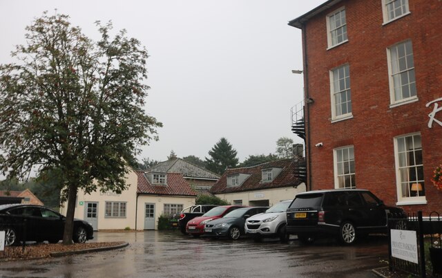
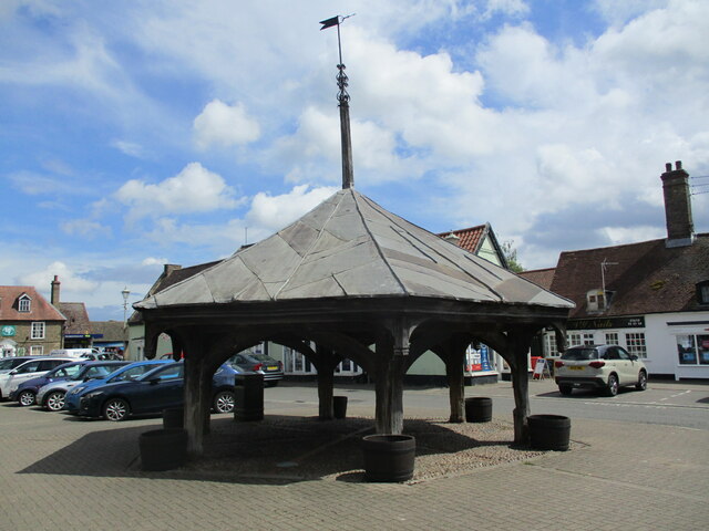
Wamil Hall Images

Images are sourced within 2km of 52.342/0.488 or Grid Reference TL6974. Thanks to Geograph Open Source API. All images are credited.

Mildenhall Road, Worlington Worlington Hall Country House Hotel is on the left.
Mildenhall Road, Worlington
Worlington Hall Country House Hotel is on the left.
The Meadows, Worlington The road is divided down the middle in two grid squares
The Meadows, Worlington
The road is divided down the middle in two grid squares
Freckenham Road, Worlington I think the widespread NO posters were something to do with a solar farm or a rail link, those were the two issues across the area.
Freckenham Road, Worlington
I think the widespread NO posters were something to do with a solar farm or a rail link, those were the two issues across the area.
Worlington: a view from the churchyard The Grade II listed Church Farm has a corrugated roof and dates from the late 17th century. For the lengthy listing text, see <span class="nowrap"><a title="https://britishlistedbuildings.co.uk/101426613-church-farm-worlington#.YfLHOmCnwt8" rel="nofollow ugc noopener" href="https://britishlistedbuildings.co.uk/101426613-church-farm-worlington#.YfLHOmCnwt8">Link</a><img style="margin-left:2px;" alt="External link" title="External link - shift click to open in new window" src="https://s1.geograph.org.uk/img/external.png" width="10" height="10"/></span> .
Worlington: a view from the churchyard
The Grade II listed Church Farm has a corrugated roof and dates from the late 17th century. For the lengthy listing text, see LinkExternal link .
Worlington: gulls and the plough Winter cultivation, seen from All Saints' churchyard on a bright January afternoon.
Worlington: gulls and the plough
Winter cultivation, seen from All Saints' churchyard on a bright January afternoon.
Worlington: All Saints A Grade I listed mediaeval church with many 14th- and 15th-century features, photographed from the eastern edge of the churchyard on a sunny January afternoon.

Listing text: <span class="nowrap"><a title="https://britishlistedbuildings.co.uk/101037585-church-of-all-saints-worlington#.YfLKf2Cnwt8" rel="nofollow ugc noopener" href="https://britishlistedbuildings.co.uk/101037585-church-of-all-saints-worlington#.YfLKf2Cnwt8">Link</a><img style="margin-left:2px;" alt="External link" title="External link - shift click to open in new window" src="https://s1.geograph.org.uk/img/external.png" width="10" height="10"/></span> .
Worlington: All Saints
A Grade I listed mediaeval church with many 14th- and 15th-century features, photographed from the eastern edge of the churchyard on a sunny January afternoon. Listing text: LinkExternal link .
Worlington: footpath to the church All Saints is a Grade I listed mediaeval church - see <span class="nowrap"><a title="https://britishlistedbuildings.co.uk/101037585-church-of-all-saints-worlington#.YfLKf2Cnwt8" rel="nofollow ugc noopener" href="https://britishlistedbuildings.co.uk/101037585-church-of-all-saints-worlington#.YfLKf2Cnwt8">Link</a><img style="margin-left:2px;" alt="External link" title="External link - shift click to open in new window" src="https://s1.geograph.org.uk/img/external.png" width="10" height="10"/></span> .
Worlington: footpath to the church
All Saints is a Grade I listed mediaeval church - see LinkExternal link .
Worlington: All Saints from Church Lane "W tower with a pretty W window with flowing tracery. Niches l and r of it. Finely moulded W doorway" (Nikolaus Pevsner). For the Grade I listing text see <span class="nowrap"><a title="https://britishlistedbuildings.co.uk/101037585-church-of-all-saints-worlington#.YfLKf2Cnwt8" rel="nofollow ugc noopener" href="https://britishlistedbuildings.co.uk/101037585-church-of-all-saints-worlington#.YfLKf2Cnwt8">Link</a><img style="margin-left:2px;" alt="External link" title="External link - shift click to open in new window" src="https://s1.geograph.org.uk/img/external.png" width="10" height="10"/></span> .

(Pity about the cables - but they were there and I photograph things as they are.)
Worlington: All Saints from Church Lane
"W tower with a pretty W window with flowing tracery. Niches l and r of it. Finely moulded W doorway" (Nikolaus Pevsner). For the Grade I listing text see LinkExternal link . (Pity about the cables - but they were there and I photograph things as they are.)
Worlington: Church Lane on a winter afternoon Church Farm, on the right, dates from the late 17th century. Its original thatch has been replaced by corrugated iron. For its lengthy Grade II listing text, see <span class="nowrap"><a title="https://britishlistedbuildings.co.uk/101426613-church-farm-worlington#.YfLHOmCnwt8" rel="nofollow ugc noopener" href="https://britishlistedbuildings.co.uk/101426613-church-farm-worlington#.YfLHOmCnwt8">Link</a><img style="margin-left:2px;" alt="External link" title="External link - shift click to open in new window" src="https://s1.geograph.org.uk/img/external.png" width="10" height="10"/></span> .
Worlington: Church Lane on a winter afternoon
Church Farm, on the right, dates from the late 17th century. Its original thatch has been replaced by corrugated iron. For its lengthy Grade II listing text, see LinkExternal link .
The Riverside Hotel, Mildenhall
Mill Street, Mildenhall
Lloyds Bank on High Street Mildenhall
Flats on Worlington Road entering Mildenhall
Bridge Farm Road, Mildenhall
Green on Bridge Farm Road, Mildenhall
Houses on Field Road, Mildenhall
Field Road, Mildenhall
The Market Cross, Mildenhall Dates from the fifteenth century <span class="nowrap"><a title="https://historicengland.org.uk/listing/the-list/list-entry/1351326?section=official-list-entry" rel="nofollow ugc noopener" href="https://historicengland.org.uk/listing/the-list/list-entry/1351326?section=official-list-entry">Link</a><img style="margin-left:2px;" alt="External link" title="External link - shift click to open in new window" src="https://s1.geograph.org.uk/img/external.png" width="10" height="10"/></span>
The Market Cross, Mildenhall
Dates from the fifteenth century LinkExternal link
Show me another place!

Wamil Hall is located at Grid Ref: TL6974 (Lat: 52.342, Lng: 0.488)

What 3 Words

///crumple.push.evaded. Near Mildenhall, Suffolk

Nearby Locations

Wamil Hall

Related Wikis

Mildenhall College Academy

Mildenhall College Academy is a coeducational secondary school and sixth form with academy status, located in Mildenhall, Suffolk, England. The school...

Worlington Golf Links Halt railway station

Worlington Golf Links Halt railway station was a railway station on the Cambridge to Mildenhall railway. It served the village of Worlington, Suffolk,...

Worlington, Suffolk

Worlington is a village and civil parish in the English county of Suffolk and in the old hundred of Lackford. It is recorded in the Domesday Book as Wirilintona...

Wamil Way

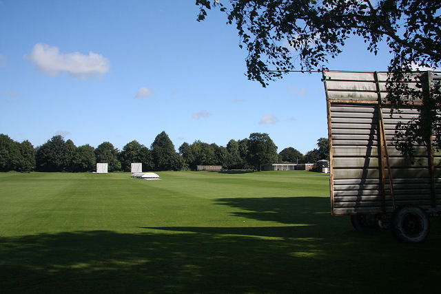
Wamil Way is a cricket ground in Mildenhall, Suffolk with two cricket fields, in a picturesque setting beside the River Lark. The first recorded match...

Nearby Amenities

Located within 500m of 52.342,0.488
Barrier: kissing_gate
Bicycle: no
Source Bicycle: note_2275037
Lat/Long: 52.3411808/0.4810277
Barrier: kissing_gate
Lat/Long: 52.3395925/0.4873911
Barrier: kissing_gate
Lat/Long: 52.3395859/0.4871068
The data included in this document is from www.openstreetmap.org. The data is made available under ODbL.

Have you been to Wamil Hall?

Leave your review of Wamil Hall below (or comments, questions and feedback).