Victoria Cave
Heritage Site in Yorkshire
England
Victoria Cave
Victoria Cave is a significant heritage site located in the Yorkshire Dales National Park, in North Yorkshire, England. The cave is situated on the southern slopes of the Ingleborough mountain and is renowned for its rich archaeological and paleontological discoveries.
Discovered in 1837, Victoria Cave has provided researchers with valuable insights into the prehistoric era. The cave is composed of a series of chambers and passages, formed by the erosive forces of water over thousands of years. Its limestone walls are adorned with stunning stalactite and stalagmite formations, adding to its natural beauty.
Excavations conducted at Victoria Cave have revealed evidence of human habitation dating back thousands of years. Stone tools, animal bones, and remnants of campfires have been found, suggesting that the cave was used as a shelter by early humans during the Paleolithic and Mesolithic periods. Additionally, the remains of extinct species such as woolly rhinoceros, mammoth, and cave lion have been unearthed, providing valuable information about the region's prehistoric fauna.
Due to its historical significance, Victoria Cave has been designated as a Scheduled Monument and is protected by law. It is open to the public, allowing visitors to explore its chambers and learn about its fascinating history. The cave also serves as an educational site, hosting guided tours and educational programs to promote understanding and appreciation of the region's rich heritage.
In conclusion, Victoria Cave is a remarkable heritage site in Yorkshire, offering a glimpse into the ancient past through its archaeological finds and stunning geological features.
If you have any feedback on the listing, please let us know in the comments section below.
Victoria Cave Images
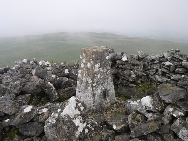
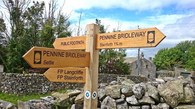
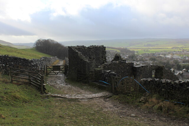
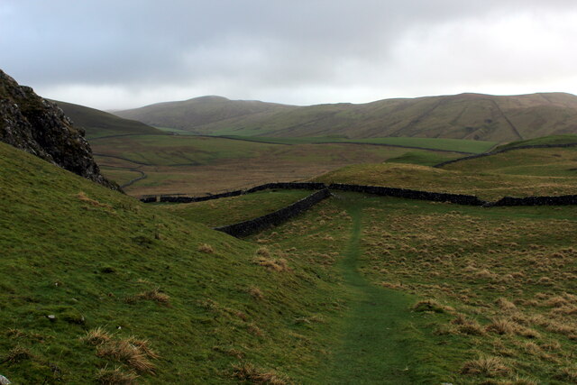
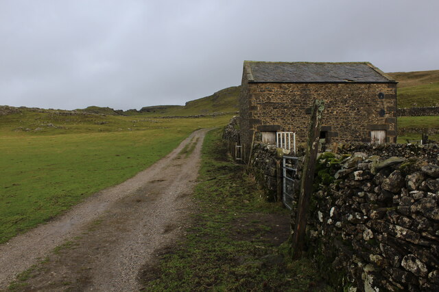
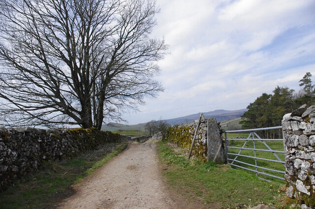
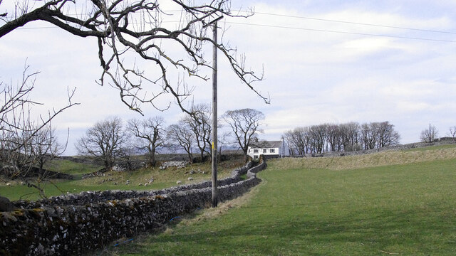
Images are sourced within 2km of 54.085/-2.252 or Grid Reference SD8365. Thanks to Geograph Open Source API. All images are credited.
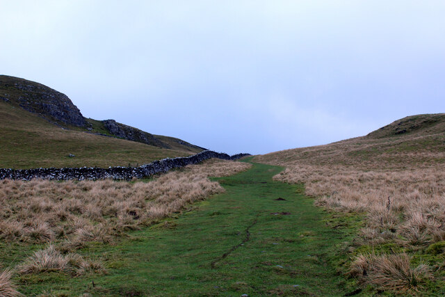
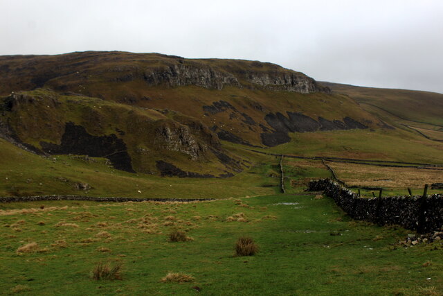
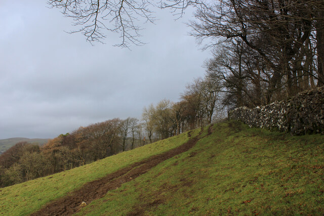
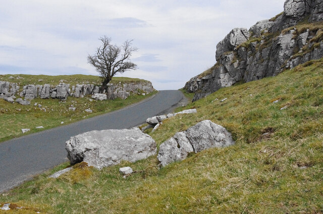
![Dry stone walls, Attermire [Image formed from 2 photos merged together.]](https://s2.geograph.org.uk/geophotos/07/14/80/7148022_a896aa42.jpg)
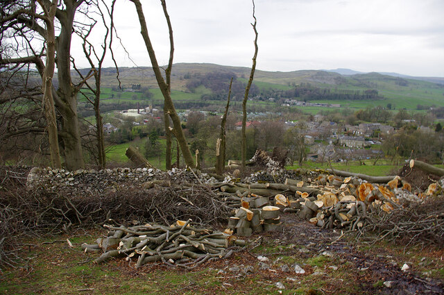
![Jubilee Cave [Image formed from 3 photos merged together.]](https://s2.geograph.org.uk/geophotos/07/14/80/7148030_2433a981.jpg)
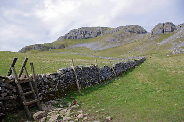
![Catrigg Force Stainforth Beck falls into a wooded ravine.
[Image formed from 2 photos merged together.]](https://s2.geograph.org.uk/geophotos/07/14/80/7148054_c49cfc5a.jpg)
Victoria Cave is located at Grid Ref: SD8365 (Lat: 54.085, Lng: -2.252)
Division: West Riding
What 3 Words
///streak.translated.compounds. Near Settle, North Yorkshire
Nearby Locations
Related Wikis
Langcliffe
Langcliffe is a village and civil parish in the Craven district of North Yorkshire, in England. It lies to the north of Settle and east of Giggleswick...
Stackhouse, North Yorkshire
Stackhouse (sometimes written as Stack House), is a hamlet near to Giggleswick on the western bank of the River Ribble in North Yorkshire, England. �...

Settle rail crash
The Settle rail crash was a railway accident that occurred at Langcliffe near Settle, England, on the night of 21 January 1960 in which two trains collided...

Settle Hydro
Settle Hydro is a micro hydroelectric scheme, owned by the community, in Settle, North Yorkshire, England. It is located on the River Ribble, at Settle...
Related Videos

The Settle to Carlisle Line. Exceedingly Cheap Travel on England's most Scenic Railway!
One of the most beautiful, scenic railways, not only in England but the whole world. In this video: 'The Settle to Carlisle Line.
LOST IN YORKSHIRE DALES!! SOLO FEMALE HIKE GONE WRONG!!
A weekend solo adventure exploring North Yorkshire Dales. Part One - Staying in a cosy camping pod at Orcaber Fam Campsite, ...

Settle, North Yorkshire
biblequote #hiking #hikeuk #hike #walkinguk #walkuk #walk #walking #backpacking #christian #outdoors #outdoor #wanderlust ...

My BBC Winter Walk (Alastair Campbell Extended Version)
I did all this in 1 day. Travel from the Midlands to Yorkshire & back, the Walk and a meal afterwards. #thecoalvillenitewalker ...
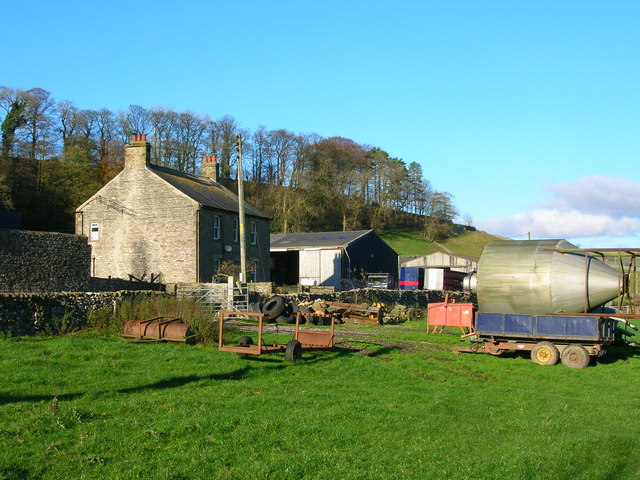
Nearby Amenities
Located within 500m of 54.085,-2.252Have you been to Victoria Cave?
Leave your review of Victoria Cave below (or comments, questions and feedback).