Vale Royal

Heritage Site in Cheshire

England

Vale Royal

Foxwist Green Junction of Cinder Hill with Dalefords Lane.
Foxwist Green Credit: David Dixon

Vale Royal is a historic site located in Cheshire, England. It is a former Cistercian abbey that dates back to the 13th century. The abbey was founded in 1270 by Edward I, and it quickly became one of the most important religious institutions in the region.

The abbey's architecture is a stunning example of Gothic style, with its grandiose arches, detailed stonework, and soaring spires. The site covers a vast area of around 14 acres, including the abbey buildings, cloister, and gardens. The abbey's church, dedicated to St. Mary, was the centerpiece of the complex and featured a magnificent stained glass window that is still partially intact.

During its heyday, Vale Royal Abbey was not only a place of worship but also a center of learning, art, and agriculture. The monks who resided there were known for their dedication to scholarly pursuits and were influential in shaping the local community.

Unfortunately, after the Dissolution of the Monasteries in the 16th century, Vale Royal Abbey fell into disrepair. Many of its buildings were dismantled, and the site was left abandoned for centuries. Today, only ruins remain, but they still hold a significant historical and architectural value.

Vale Royal Abbey is now a Grade I listed building and a Scheduled Ancient Monument, protected by law to preserve its historical importance. The site attracts visitors who are interested in exploring England's rich religious and architectural heritage. It offers a glimpse into the past and serves as a reminder of the significant role that religious institutions played in shaping the region.

If you have any feedback on the listing, please let us know in the comments section below.
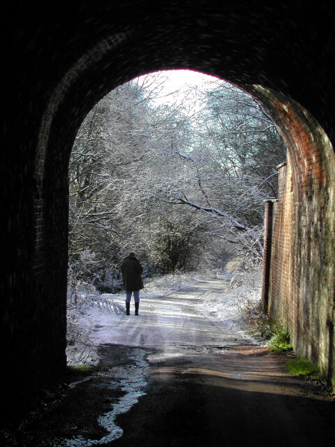
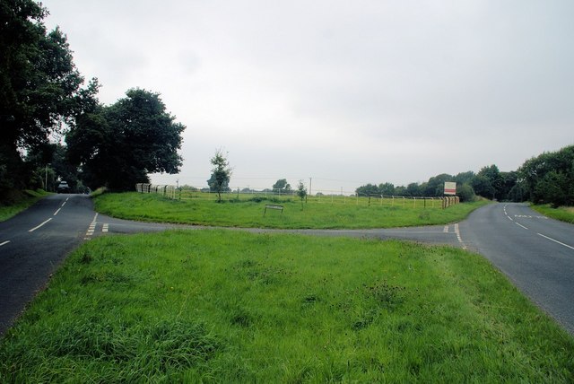
Vale Royal Images

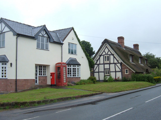
Images are sourced within 2km of 53.22/-2.547 or Grid Reference SJ6369. Thanks to Geograph Open Source API. All images are credited.

Foxwist Green Junction of Cinder Hill with Dalefords Lane.
Foxwist Green
Junction of Cinder Hill with Dalefords Lane.
Meadowbank Mine Britain's largest salt mine lies alongside the River Weaver at Winsford. This is the main skip winding shaft up which comes much of the winter salt for Britain's roads.
Meadowbank Mine
Britain's largest salt mine lies alongside the River Weaver at Winsford. This is the main skip winding shaft up which comes much of the winter salt for Britain's roads.
Newbridge swing bridge This distinctive bridge spans the river Weaver and is situated at the site of the former Newbridge Locks which were swept away when the navigation was modernised in the 1880's. In the foreground can be seen the gate recess for one of the lock gates.
Newbridge swing bridge
This distinctive bridge spans the river Weaver and is situated at the site of the former Newbridge Locks which were swept away when the navigation was modernised in the 1880's. In the foreground can be seen the gate recess for one of the lock gates.
Weaver Navigation
Weaver Navigation
Parkside Farm, Mill Lane This large residence was available to rent in June 2006. It is just over a kilometre east of the village of Whitegate.
Parkside Farm, Mill Lane
This large residence was available to rent in June 2006. It is just over a kilometre east of the village of Whitegate.
Entrance to Bark House Farm Looking south along the drive to Bark House Farm from its junction with Mill Lane.
Entrance to Bark House Farm
Looking south along the drive to Bark House Farm from its junction with Mill Lane.
Thatched cottage, Whitegate, Cheshire A pretty cottage, but not the best of locations on the junction of Cinder Hill and Grange Lane.
Thatched cottage, Whitegate, Cheshire
A pretty cottage, but not the best of locations on the junction of Cinder Hill and Grange Lane.
Foxwist Green, Whitegate Looking west along Cinder Hill at the Post Office building (shown as such on the OS's Cheshire Street Atlas). It appears now to be used as a private residence but the telephone box and pillar box remain for the local community.
Foxwist Green, Whitegate
Looking west along Cinder Hill at the Post Office building (shown as such on the OS's Cheshire Street Atlas). It appears now to be used as a private residence but the telephone box and pillar box remain for the local community.
Whitegate Way, Grange Lane Here a railway bridge has been demolished (part of the brick abutment can be seen left of shot) so the recreational route descends to cross Grange Lane. View looking west towards the terminus at Cuddington.
Whitegate Way, Grange Lane
Here a railway bridge has been demolished (part of the brick abutment can be seen left of shot) so the recreational route descends to cross Grange Lane. View looking west towards the terminus at Cuddington.
Stile on Grange Lane, Winsford Here a footpath heads west over the fields towards Martonsands passing to the north of Brook House Farm visible in the distance.
Stile on Grange Lane, Winsford
Here a footpath heads west over the fields towards Martonsands passing to the north of Brook House Farm visible in the distance.
Parish Church of St. Stephen Moulton
The Lion Lion Public House on Main Road Moulton. As always in these places, directly opposite the Church.
The Lion
Lion Public House on Main Road Moulton. As always in these places, directly opposite the Church.
Travellers Rest Moulton Travellers Rest Public house on the junction of Main Road and Whitlow Lane Moulton.

Sadly this pub looks somewhat run down in an otherwise pleasant little village. Initially thought it to be closed down but there did seemm to be some regulars using it.
Travellers Rest Moulton
Travellers Rest Public house on the junction of Main Road and Whitlow Lane Moulton. Sadly this pub looks somewhat run down in an otherwise pleasant little village. Initially thought it to be closed down but there did seemm to be some regulars using it.
Path near Vale Royal Abbey Broad field-edge path to the East of Vale Royal Abbey. The path emerges from the other side of the wood onto the banks of the original course of the River Weaver.
Path near Vale Royal Abbey
Broad field-edge path to the East of Vale Royal Abbey. The path emerges from the other side of the wood onto the banks of the original course of the River Weaver.
St Mary's Church Whitegate This view shows the porch and spire
St Mary's Church Whitegate
This view shows the porch and spire
Under the old railway arch, by Caravan Park, Moulton
Vale Royal Abbey Golf Club house The Club house was built on the site of what was England's largest Cistercian Abbey, founded by Edward I, who in 1277 laid the first foundation stone. It took a further 53 years to complete the Abbey. When constructed, the Abbey was larger than Westminster Abbey. In the 16th century, following Henry VIII's Reformation and Dissolution of the Monasteries Acts, Thomas Holdcroft purchased the estate and pulled down the Abbey and built the Great House.
Vale Royal Abbey Golf Club house
The Club house was built on the site of what was England's largest Cistercian Abbey, founded by Edward I, who in 1277 laid the first foundation stone. It took a further 53 years to complete the Abbey. When constructed, the Abbey was larger than Westminster Abbey. In the 16th century, following Henry VIII's Reformation and Dissolution of the Monasteries Acts, Thomas Holdcroft purchased the estate and pulled down the Abbey and built the Great House.
Junction of Sandy Lane and Dalefords Lane Old steel fence, over 50 years old.
Junction of Sandy Lane and Dalefords Lane
Old steel fence, over 50 years old.
Show me another place!

Vale Royal is located at Grid Ref: SJ6369 (Lat: 53.22, Lng: -2.547)

What 3 Words

///estimated.lordship.twitches. Near Hartford, Cheshire

Nearby Locations

Vale Royal

Related Wikis

Vale Royal Abbey

Vale Royal Abbey is a former medieval abbey and later country house in Whitegate, England. The precise location and boundaries of the abbey are difficult...

Whitegate, Cheshire

Whitegate is a small village in Cheshire, England, located near the towns of Northwich and Winsford. It is situated in the civil parish of Whitegate and...

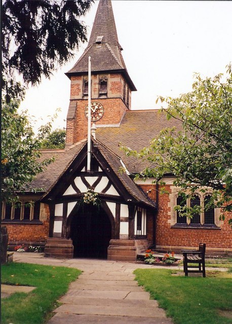
St Mary's Church, Whitegate

St Mary's Church is in the village of Whitegate, Cheshire, England. It is an active Anglican parish church in the diocese of Chester, the archdeaconry...

Whitegate and Marton

Whitegate and Marton is a civil parish in the unitary authority of Cheshire West and Chester and the ceremonial county of Cheshire. The parish has one...

Nearby Amenities

Located within 500m of 53.22,-2.547
Barrier: stile
Foot: yes
Lat/Long: 53.220619/-2.5407335
Barrier: stile
Foot: yes
Lat/Long: 53.221021/-2.5403784
Barrier: stile
Foot: yes
Lat/Long: 53.2212958/-2.5418373
Barrier: kissing_gate
Lat/Long: 53.2233467/-2.5496149
Historic: memorial
Lat/Long: 53.2227156/-2.5511337
Barrier: stile
Lat/Long: 53.2175469/-2.5475814
Post Box
Brand: Royal Mail
Brand Wikidata: Q638098
Collection Times: Mo-Fr 17:30; Sa 09:30
Operator: Royal Mail
Operator Wikidata: Q638098
Ref: CW8 144
Royal Cypher: EIIR
Lat/Long: 53.2236745/-2.5444809
Barrier: yes
Lat/Long: 53.2230251/-2.5447396
Power: pole
Lat/Long: 53.2232886/-2.5459556
Power: pole
Lat/Long: 53.2226158/-2.5461561
Power: pole
Lat/Long: 53.221942/-2.5463616
Power: pole
Lat/Long: 53.2212234/-2.5465908
Power: pole
Lat/Long: 53.2205488/-2.5467942
Power: pole
Lat/Long: 53.2190416/-2.5503537
Power: pole
Lat/Long: 53.2187759/-2.5511178
Material: wood
Power: pole
Transformer: distribution
Lat/Long: 53.2184762/-2.5519743
Power: pole
Lat/Long: 53.2178257/-2.5531739
Power: pole
Lat/Long: 53.2198919/-2.5481479
Power: pole
Lat/Long: 53.2193285/-2.5495509
Barrier: kissing_gate
Lat/Long: 53.2171687/-2.5476392
The data included in this document is from www.openstreetmap.org. The data is made available under ODbL.

Have you been to Vale Royal?

Leave your review of Vale Royal below (or comments, questions and feedback).