Tun Bridge
Heritage Site in Somerset
England
Tun Bridge
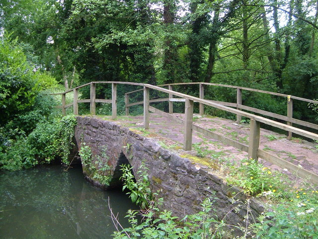
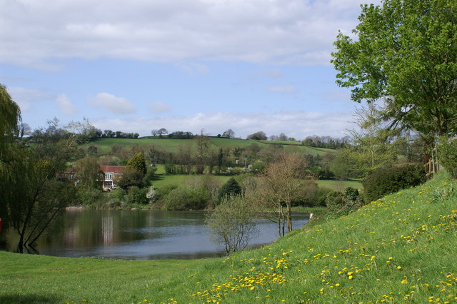
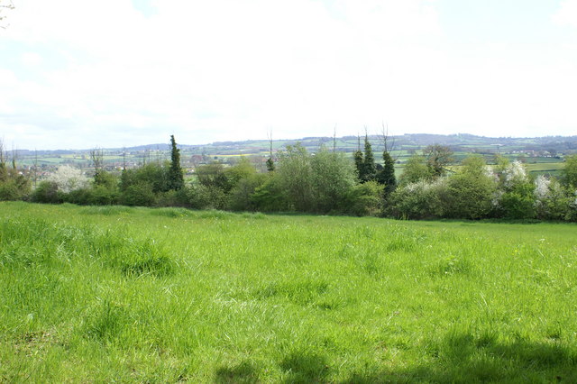
Tun Bridge, located in Somerset, England, is a significant heritage site that holds historical and architectural significance. This picturesque bridge spans the River Tone and serves as a link between the town of Taunton and the ancient village of Bishop's Hull.
Built in the early 19th century, Tun Bridge is an excellent example of a stone arch bridge constructed during the Georgian period. The bridge features three elegant and sturdy arches, constructed using local blue lias stone, which gives it a distinct charm. The use of this stone is a testament to the skilled craftsmanship of the time.
Tun Bridge not only holds architectural importance, but it also has historical significance. It played a crucial role in the transportation of goods and people during the Industrial Revolution, connecting the thriving town of Taunton with the rural countryside. The bridge allowed for the easier movement of agricultural products, coal, and other goods, contributing to the economic growth of the region.
Today, Tun Bridge remains an iconic landmark and a popular tourist attraction. Visitors are drawn to its striking architecture and its picturesque setting, surrounded by lush greenery and the tranquil waters of the River Tone. The bridge offers stunning views, making it a favorite spot for photographers and nature enthusiasts alike.
Recognizing its historical and architectural significance, Tun Bridge has been designated as a heritage site, ensuring its preservation for future generations to appreciate and enjoy.
If you have any feedback on the listing, please let us know in the comments section below.
Tun Bridge Images
Images are sourced within 2km of 51.36/-2.61 or Grid Reference ST5762. Thanks to Geograph Open Source API. All images are credited.


Tun Bridge is located at Grid Ref: ST5762 (Lat: 51.36, Lng: -2.61)
Unitary Authority: Bath and North East Somerset
Police Authority: Avon and Somerset
What 3 Words
///roof.revisits.hotel. Near Chew Magna, Somerset
Nearby Locations
Related Wikis

Chew Magna
Chew Magna is a village and civil parish within the Chew Valley in the unitary authority of Bath and North East Somerset, in the ceremonial county of Somerset...

Old School Room, Chew Magna
The Old School Room in Chew Magna, Somerset, England was built around 1510. It is a Grade II* listed building.It was built as a church house for the neighbouring...

Chew Court
Chew Court is a Grade II* listed building next to St Andrew's church in Chew Magna, Somerset, England.It was originally a palace for Gisa the Bishop of...

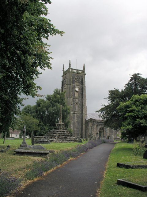
St Andrew's Church, Chew Magna
The Church of St Andrew in Chew Magna, Somerset, England dates from the 12th century with a large 15th-century pinnacled sandstone tower, a Norman font...

Chew Valley School
Chew Valley School is a coeducational secondary school and sixth form situated within the Chew Valley in Somerset in South West England. It is 8 miles...
Manor House, Chew Magna
The Manor House in Chew Magna, Somerset, England, was a country house built in the middle of the 17th century. It was the principal residence of the Adlam...

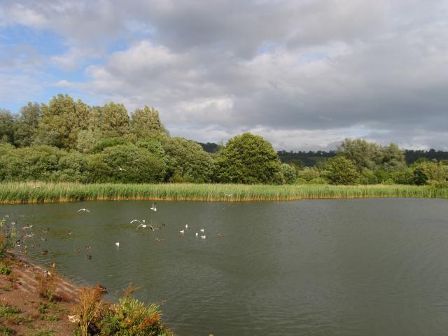
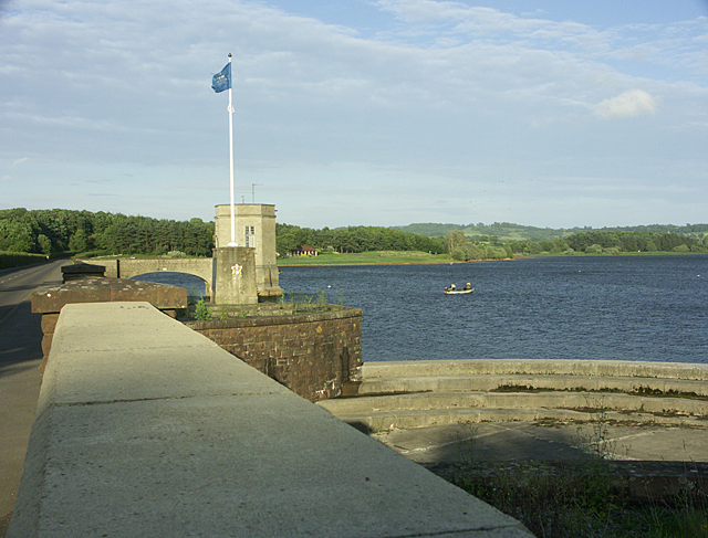
Chew Magna Reservoir
Chew Magna Reservoir is a 5-acre (2 ha) reservoir on the western outskirts of the village of Chew Magna, Somerset, England. It lies just north of the B3130...

Knowle Hill
Knowle Hill (grid reference ST583613) is a hill in the Chew Valley, Somerset, England situated between the village of Chew Magna and Chew Valley Lake....
Related Videos

Stanton Drew: STONE CIRCLE, The Cove and The Round House
Stanton Drew: Exploring the Stone Circles, The Cove, The Round House (Toll House) and the beautiful Somerset country side.

Rock Circle & Chew Magna
UK one day weekend road trip - Chew Valley and Stone Circle.

Stanton Drew and The Druids Arms on a motorhome adventure.
Continuing on our free pub stop quest whilst trying to visit many interesting and historic sites, we read about the Stanton Drew ...
Chew Valley Walk Against Airport Expansion.
This film was recorded by Peter Brownlee walking from Chew Magna, through Winford to the airport in 2020. It was just before a ...
Nearby Amenities
Located within 500m of 51.36,-2.61Have you been to Tun Bridge?
Leave your review of Tun Bridge below (or comments, questions and feedback).