Chew Valley
Valley in Somerset
England
Chew Valley
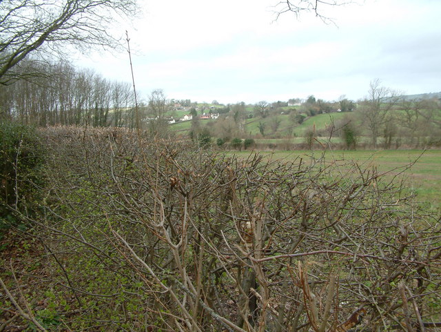
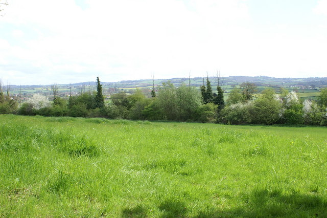
Chew Valley is a picturesque rural valley located in Somerset, England. Situated approximately 8 miles south of Bristol, the valley is surrounded by rolling hills and farmland, making it an idyllic countryside destination.
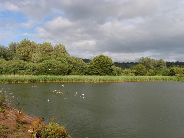
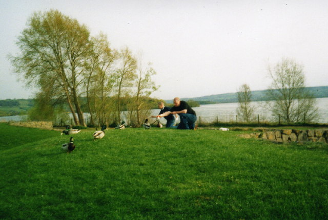
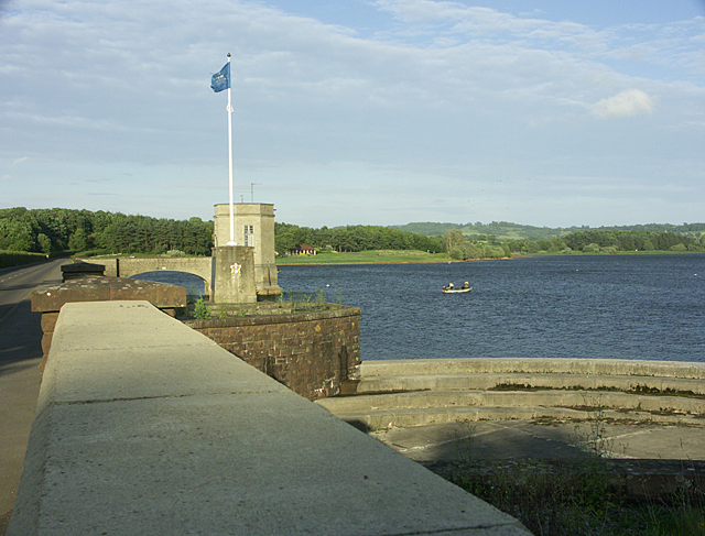
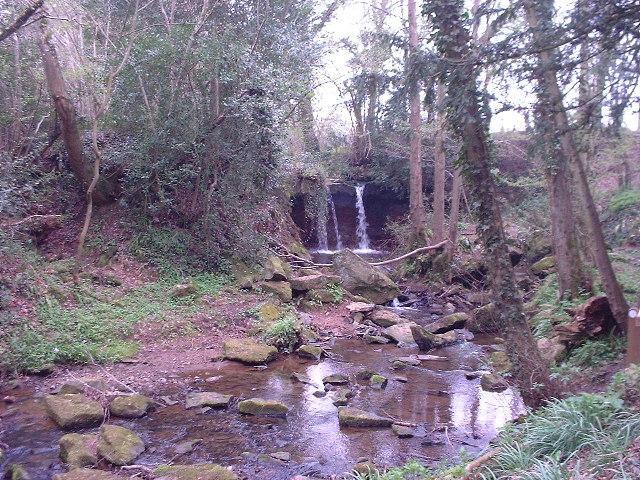
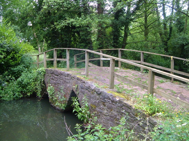
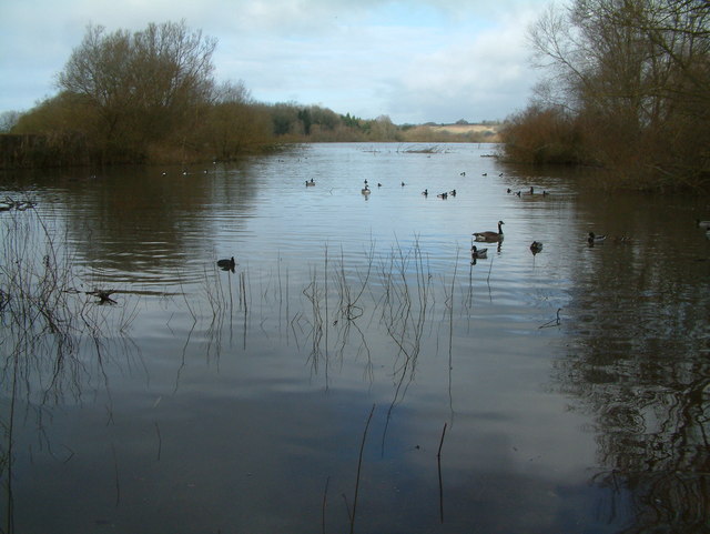
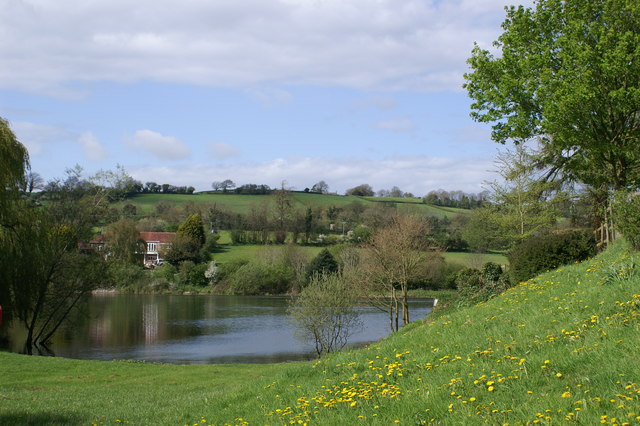
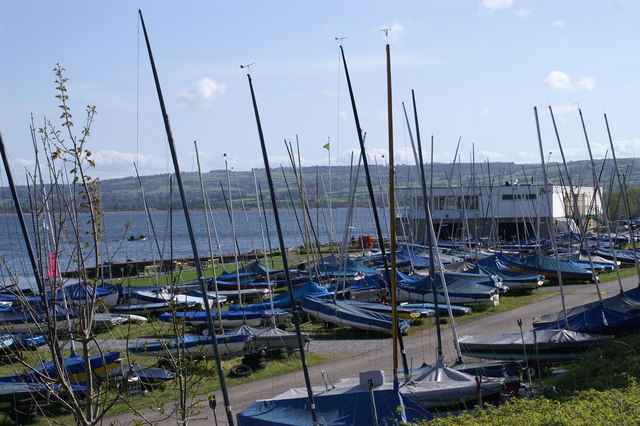
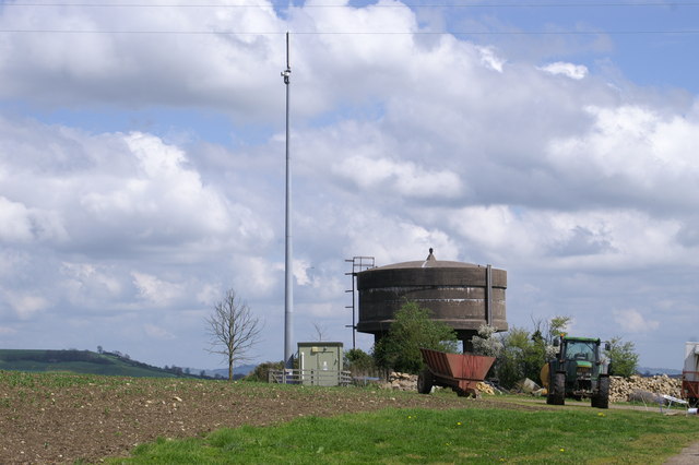
The valley is named after the River Chew, which meanders through the area, providing a beautiful natural backdrop. The river is a popular spot for fishing, kayaking, and other water-based activities. The landscape is also dotted with a number of small lakes and reservoirs, including Chew Valley Lake, which is a renowned birdwatching site attracting a wide variety of migratory birds.
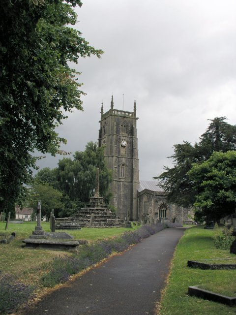
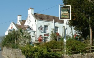
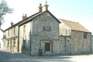
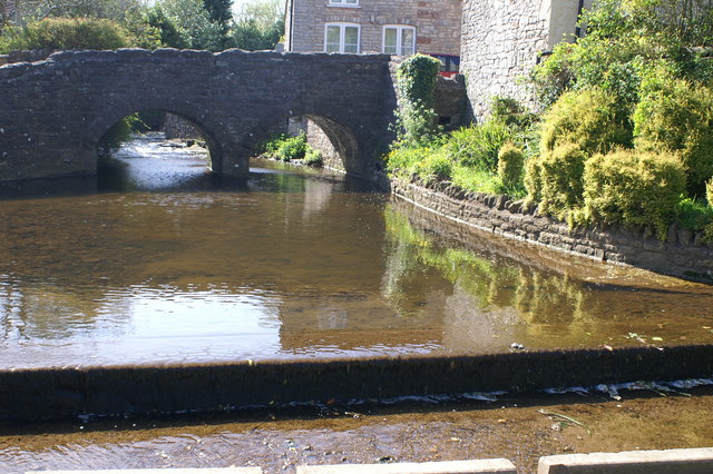
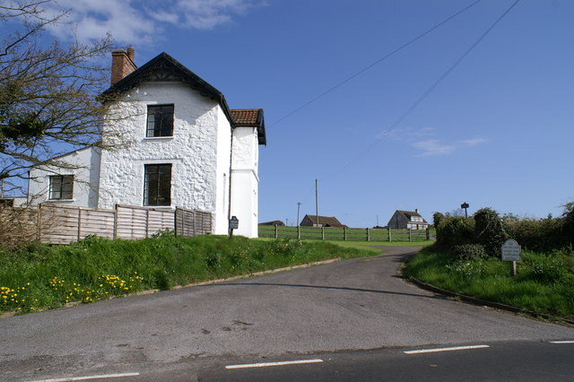
The area is known for its charming villages, such as Chew Magna and Chew Stoke, which offer a range of amenities including pubs, shops, and picturesque walking trails. The villages are characterized by their traditional stone-built houses and historic churches, adding to the overall charm of the valley.
Chew Valley is a haven for nature lovers, with an abundance of wildlife and natural beauty to explore. The surrounding countryside is crisscrossed with footpaths and bridleways, making it popular for walking, cycling, and horse riding. The Mendip Hills, an Area of Outstanding Natural Beauty, are also within easy reach, offering further opportunities for outdoor activities and stunning views.
Overall, Chew Valley offers a tranquil and scenic escape from urban life, with its unspoiled natural landscapes, charming villages, and rich wildlife. It is a popular destination for both locals and visitors seeking a peaceful retreat in the heart of the Somerset countryside.
If you have any feedback on the listing, please let us know in the comments section below.
Chew Valley Images
Images are sourced within 2km of 51.358573/-2.6122521 or Grid Reference ST5762. Thanks to Geograph Open Source API. All images are credited.
Chew Valley is located at Grid Ref: ST5762 (Lat: 51.358573, Lng: -2.6122521)
Unitary Authority: Bath and North East Somerset
Police Authority: Avon and Somerset
What 3 Words
///hairpin.personal.stickler. Near Chew Magna, Somerset
Nearby Locations
Related Wikis

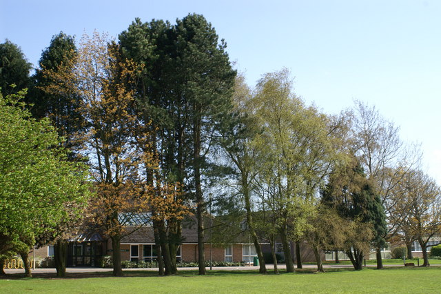
Chew Valley School
Chew Valley School is a coeducational secondary school and sixth form situated within the Chew Valley in Somerset in South West England. It is 8 miles...

Chew Magna
Chew Magna is a village and civil parish within the Chew Valley in the unitary authority of Bath and North East Somerset, in the ceremonial county of Somerset...

Old School Room, Chew Magna
The Old School Room in Chew Magna, Somerset, England was built around 1510. It is a Grade II* listed building.It was built as a church house for the neighbouring...

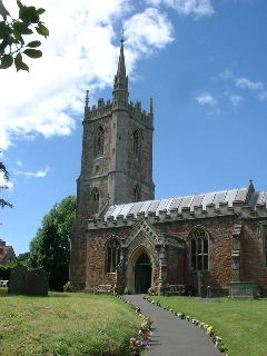
St Andrew's Church, Chew Magna
The Church of St Andrew in Chew Magna, Somerset, England dates from the 12th century with a large 15th-century pinnacled sandstone tower, a Norman font...

Chew Court
Chew Court is a Grade II* listed building next to St Andrew's church in Chew Magna, Somerset, England.It was originally a palace for Gisa the Bishop of...
Manor House, Chew Magna
The Manor House in Chew Magna, Somerset, England, was a country house built in the middle of the 17th century. It was the principal residence of the Adlam...

Chew Magna Reservoir
Chew Magna Reservoir is a 5-acre (2 ha) reservoir on the western outskirts of the village of Chew Magna, Somerset, England. It lies just north of the B3130...

Knowle Hill
Knowle Hill (grid reference ST583613) is a hill in the Chew Valley, Somerset, England situated between the village of Chew Magna and Chew Valley Lake....
Nearby Amenities
Located within 500m of 51.358573,-2.6122521Have you been to Chew Valley?
Leave your review of Chew Valley below (or comments, questions and feedback).