Tregwynt
Heritage Site in Pembrokeshire
Wales
Tregwynt

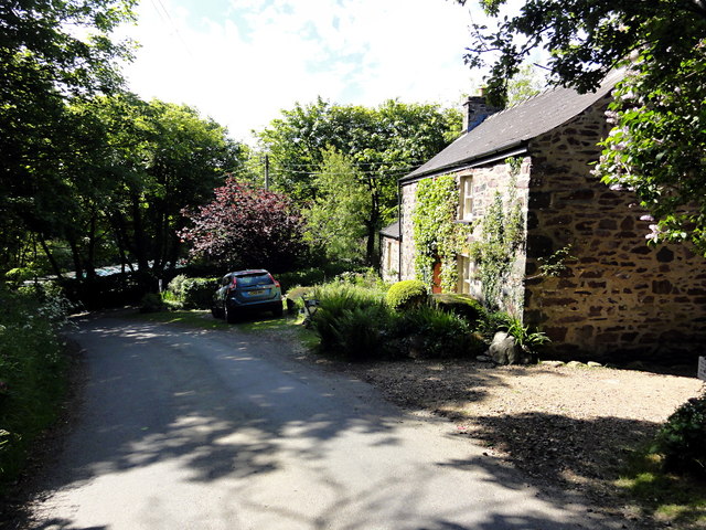
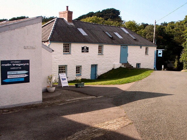
Tregwynt, located in Pembrokeshire, Wales, is a heritage site that holds significant historical and cultural importance. Nestled in the picturesque countryside, Tregwynt is renowned for its historic woollen mill, which has been operating since the 17th century.
The Tregwynt Woollen Mill, established in 1819 by the Griffiths family, has been a vital part of the local community for generations. It played a crucial role in the local economy, providing employment and producing high-quality woollen products. Today, the mill continues to operate, producing a range of traditional Welsh blankets, throws, and other textile items using traditional woolen machinery.
Visitors to Tregwynt have the opportunity to witness the mill's production process, observing the intricate weaving techniques and witnessing the skill and craftsmanship involved in creating these beautiful textiles. The mill also boasts a showroom where visitors can purchase these unique products as souvenirs or to adorn their homes.
In addition to the mill, Tregwynt offers breathtaking natural beauty and serene surroundings. The picturesque landscape is dotted with charming stone cottages, lush meadows, and ancient woodlands, making it an idyllic location for a peaceful retreat. Visitors can explore the surrounding countryside, taking leisurely walks along the scenic coastal paths or immersing themselves in the tranquility of the nearby Tregwynt Mansion Gardens.
Tregwynt is not only a haven for nature lovers and history enthusiasts, but it also provides a glimpse into the rich cultural heritage of Pembrokeshire. It stands as a testament to the region's industrial past and the enduring traditions of Welsh craftsmanship.
If you have any feedback on the listing, please let us know in the comments section below.
Tregwynt Images
Images are sourced within 2km of 51.97/-5.075 or Grid Reference SM8834. Thanks to Geograph Open Source API. All images are credited.


Tregwynt is located at Grid Ref: SM8834 (Lat: 51.97, Lng: -5.075)
Unitary Authority: Pembrokeshire
Police Authority: Dyfed Powys
What 3 Words
///pills.commuted.drum. Near Mathry, Pembrokeshire
Nearby Locations
Related Wikis
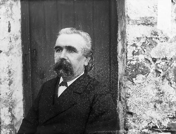
Tregwynt Hoard
The Tregwynt Hoard is a mid-17th-century hoard of coins found at Tregwynt Mansion near Fishguard in Pembrokeshire, Wales, in 1996. The hoard is now in...
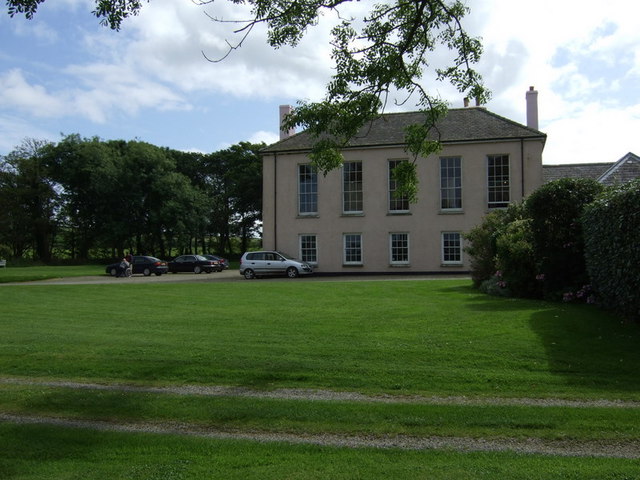
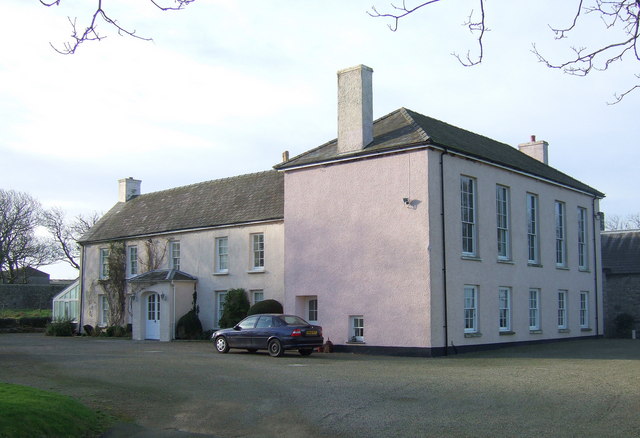
Tregwynt Mansion
Tregwynt Mansion is a house in the parish of Granston in Pembrokeshire, Wales. The Tregwynt Hoard was found during renovations in 1996. == Location... ==
Melin Tregwynt
Melin Tregwynt (Tregwynt Mill) is a woollen mill in the hamlet of Tregwynt in the parish of Granston, Pembrokeshire, Wales. A mill has stood on this site...
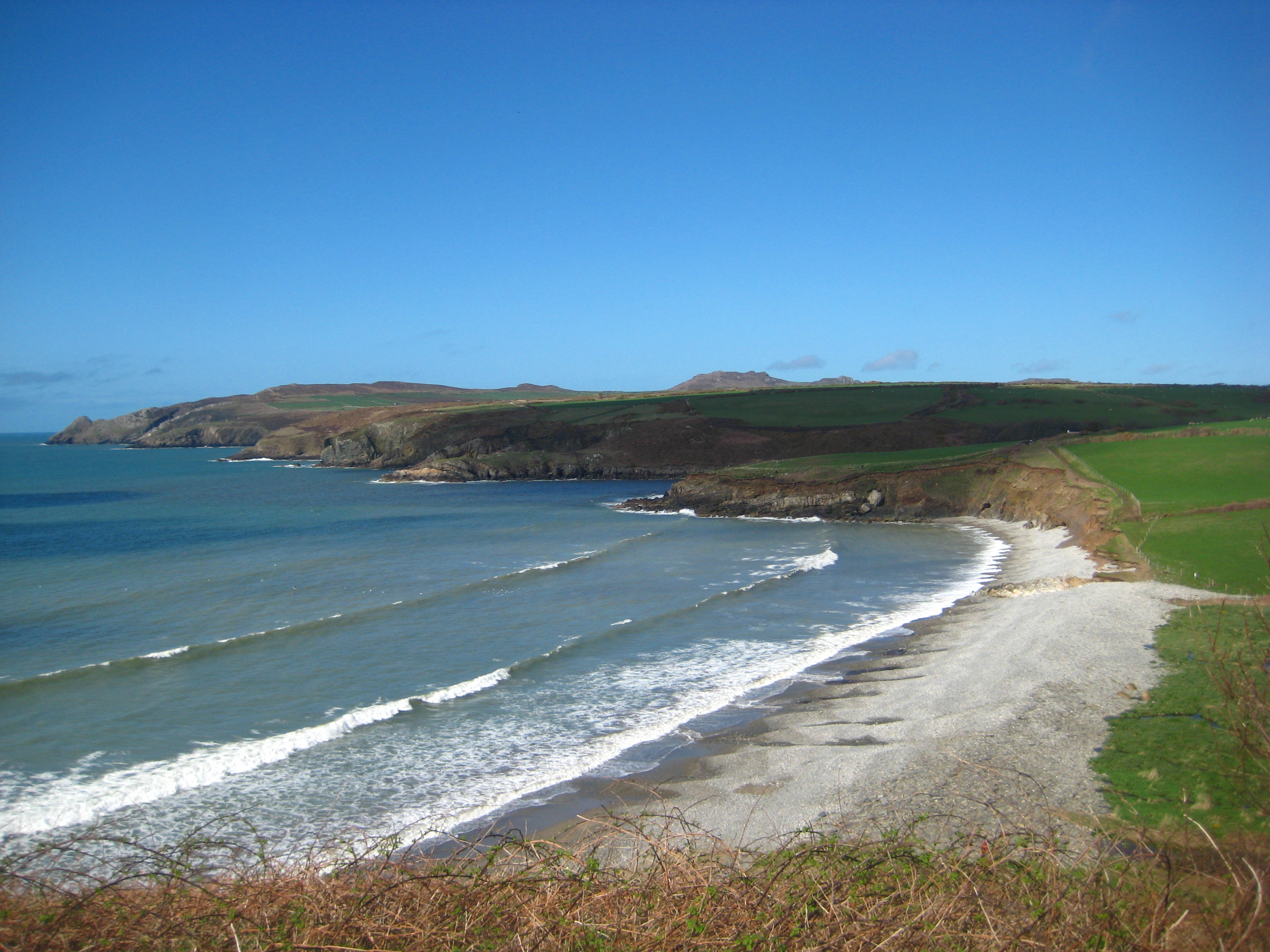
Abermawr
Abermawr is a stretch of coastline and is regarded as a Site of Special Scientific Interest in Pembrokeshire, Wales. Abermawr is a mostly shingle beach...
Nearby Amenities
Located within 500m of 51.97,-5.075Have you been to Tregwynt?
Leave your review of Tregwynt below (or comments, questions and feedback).