Tow Barrow

Heritage Site in Wiltshire

England

Tow Barrow

Farmland, Collingbourne Kingston Buildings at Gammon's Farm and the northern tip of Rag Copse seen across a field of barley.
Farmland, Collingbourne Kingston Credit: Andrew Smith

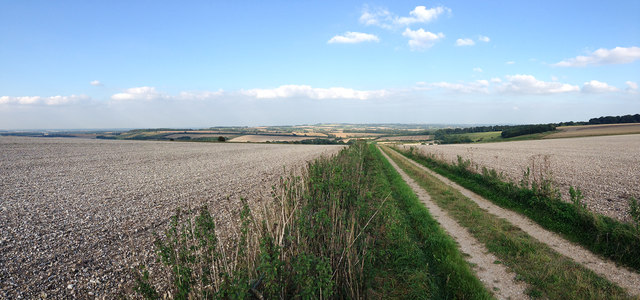
Tow Barrow, located in Wiltshire, England, is a significant heritage site that holds historical and archaeological importance. It is an ancient burial mound dating back to the Neolithic period, around 3500-2500 BC. The barrow is situated near the village of Pewsey, on the summit of a hill, offering stunning panoramic views of the surrounding landscape.

The mound itself is approximately 30 meters in diameter and 4 meters high. It is constructed using earth and stones, with a central burial chamber made of large stones. Archaeological excavations have revealed that the chamber contained the remains of several individuals, along with grave goods such as pottery, flint tools, and animal bones. These findings suggest that Tow Barrow was used for communal burials.

The site is also notable for its strategic location, as it is situated on a prominent ridge overlooking the Vale of Pewsey. This suggests that Tow Barrow may have had a ceremonial or ritualistic function, possibly serving as a landmark or gathering place for the local community.

Tow Barrow is well-preserved, and its significance has been recognized by its designation as a Scheduled Ancient Monument. It attracts visitors and enthusiasts of history and archaeology who appreciate its cultural and historical value. The site offers an opportunity to explore the ancient past, providing insights into the lives and rituals of the Neolithic people who once inhabited the area. With its picturesque setting and intriguing historical significance, Tow Barrow is a captivating destination for those interested in the rich heritage of Wiltshire.

If you have any feedback on the listing, please let us know in the comments section below.
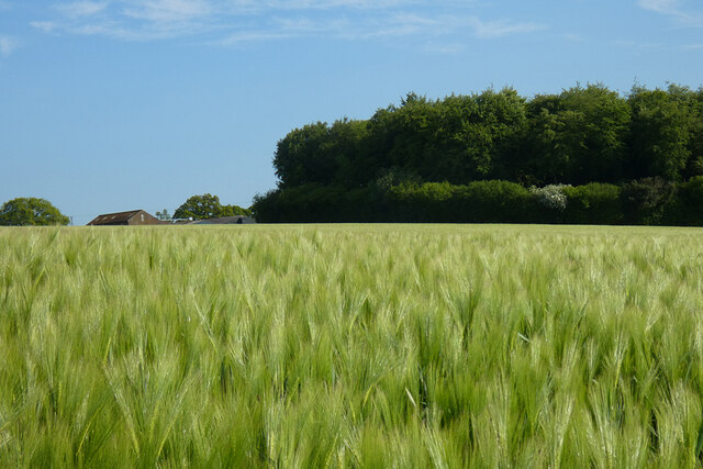
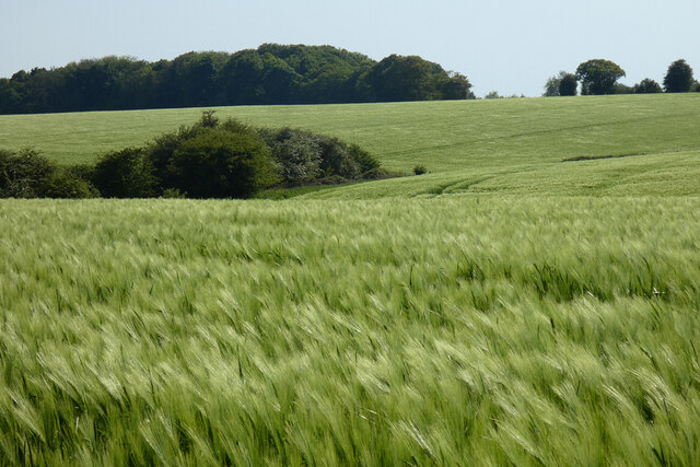
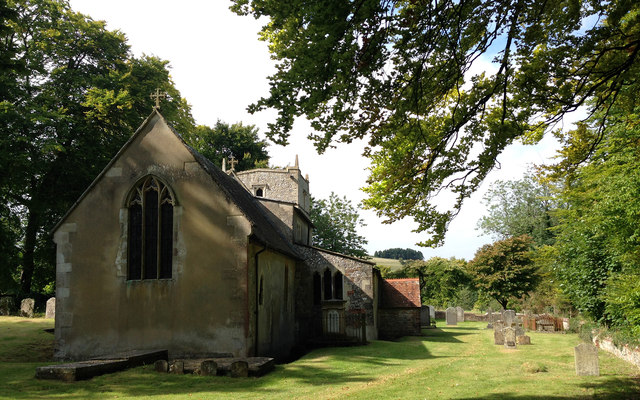
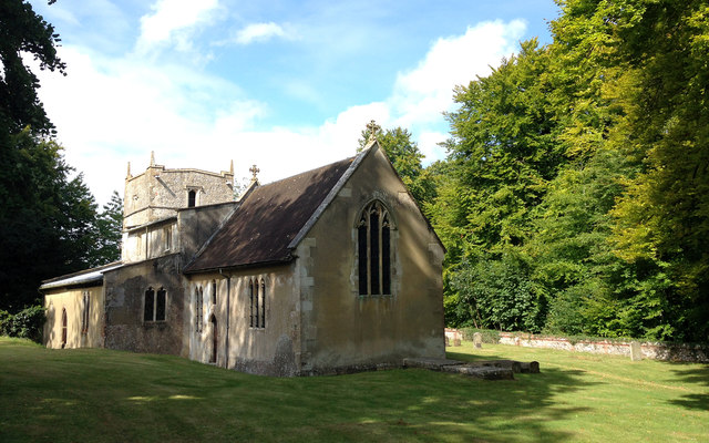
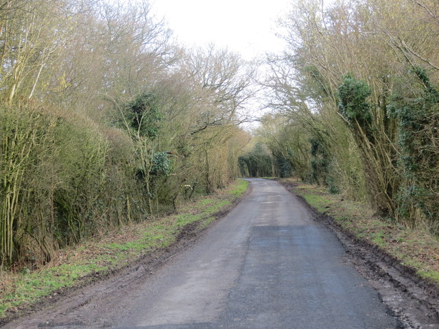
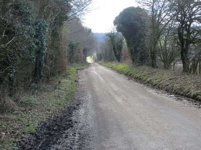
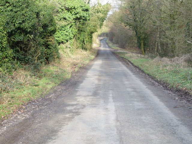
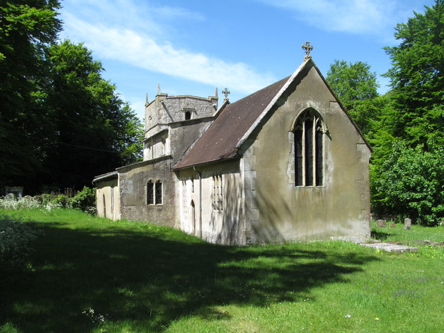
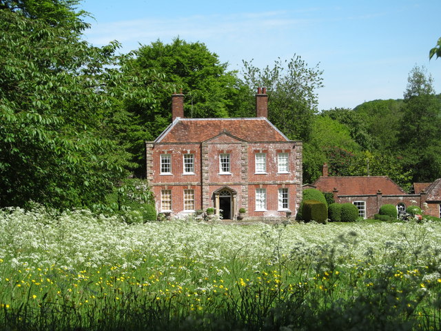
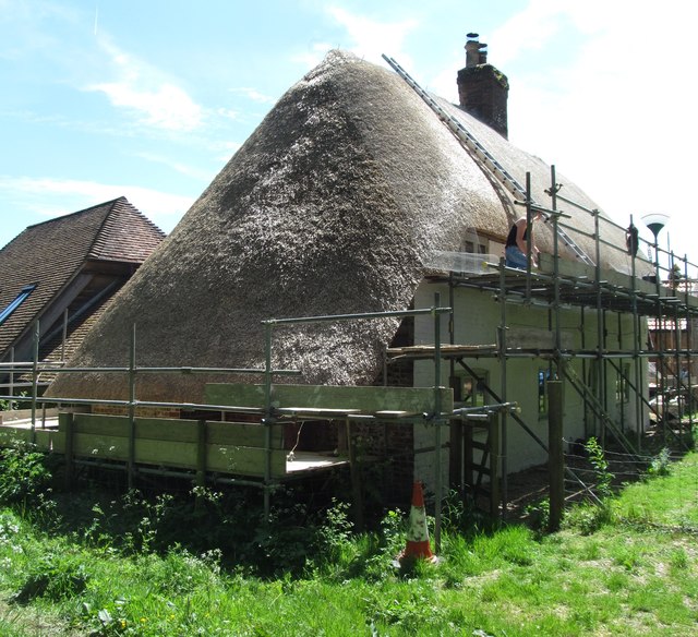
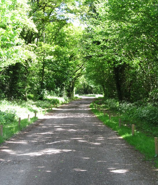
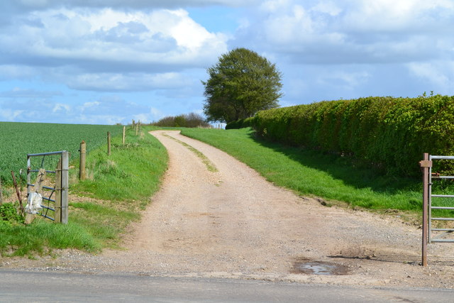
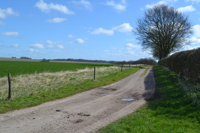
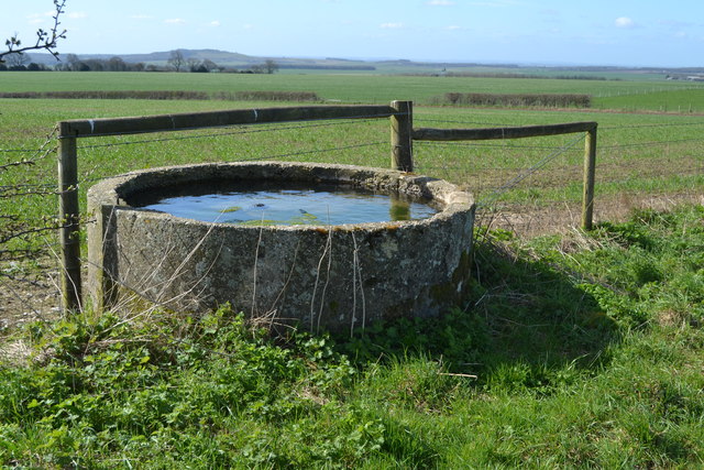
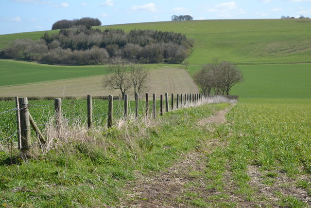
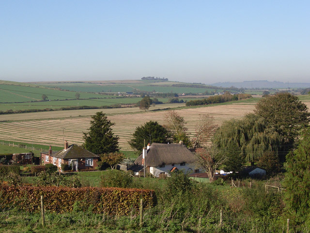
Tow Barrow Images

Images are sourced within 2km of 51.315/-1.605 or Grid Reference SU2757. Thanks to Geograph Open Source API. All images are credited.

Farmland, Collingbourne Kingston Buildings at Gammon's Farm and the northern tip of Rag Copse seen across a field of barley.
Farmland, Collingbourne Kingston
Buildings at Gammon's Farm and the northern tip of Rag Copse seen across a field of barley.
Farmland, Tidcombe Gently undulating fields of barley viewed from a bridleway to the south of the village.
Farmland, Tidcombe
Gently undulating fields of barley viewed from a bridleway to the south of the village.
St Michael's Church, Tidcombe Tidcombe's delightful church of St Michael's is Grade II* listed and includes a tower dating back to the C17th.  Evidence suggests there was a church here as far back as the mid 1200s.
St Michael's Church, Tidcombe
Tidcombe's delightful church of St Michael's is Grade II* listed and includes a tower dating back to the C17th. Evidence suggests there was a church here as far back as the mid 1200s.
St Michael's Church, Tidcombe A delightful Grade II* Listed country church  incorporating a C17th tower.
St Michael's Church, Tidcombe
A delightful Grade II* Listed country church incorporating a C17th tower.
Ploughed fields high on chalk downland This view eastwards shows the recently ploughed fields high on the chalk ridge above Tidcombe, Wiltshire, close to the Hampshire border.
Ploughed fields high on chalk downland
This view eastwards shows the recently ploughed fields high on the chalk ridge above Tidcombe, Wiltshire, close to the Hampshire border.
Stained glass at St Michael's, Tidcombe Chancel stained glass window at St Michael's, Tidcombe, Wiltshire.
Stained glass at St Michael's, Tidcombe
Chancel stained glass window at St Michael's, Tidcombe, Wiltshire.
Chute Causeway Looking south-eastward.
Chute Causeway
Looking south-eastward.
Chute Causeway at Scot's Poor Looking south-eastward.
Chute Causeway at Scot's Poor
Looking south-eastward.
Chute Causeway Looking south-westward.
Chute Causeway
Looking south-westward.
Chute Causeway Looking north-eastward.
Chute Causeway
Looking north-eastward.
Church of St Michael, Tidcombe A little flint and rubble built church with rendered walls. Most of it dates from the 'Decorated' period, although the tower is later. A very peaceful spot.
Church of St Michael, Tidcombe
A little flint and rubble built church with rendered walls. Most of it dates from the 'Decorated' period, although the tower is later. A very peaceful spot.
Tidcombe Manor Not many people visit Tidcombe, a hamlet along a dead end lane on Wiltshire downland. However a visit is worthwhile to see both the parish church and this attractive 18th century manor house.
Tidcombe Manor
Not many people visit Tidcombe, a hamlet along a dead end lane on Wiltshire downland. However a visit is worthwhile to see both the parish church and this attractive 18th century manor house.
Finishing touches A group of thatchers working on a cottage at Scot's Poor. The thatching has been done using straw from Devonshire, whilst there's just the protective netting to fix.  This looks like another of those 'gentrification' examples in this part of the world, which seems to be creeping ever closer to London.
Finishing touches
A group of thatchers working on a cottage at Scot's Poor. The thatching has been done using straw from Devonshire, whilst there's just the protective netting to fix. This looks like another of those 'gentrification' examples in this part of the world, which seems to be creeping ever closer to London.
White Lane This byway leads past Gammons Farm towards Chute Causeway. Walking through here in May, one is aware of the smell of wild garlic growing in the woods.
White Lane
This byway leads past Gammons Farm towards Chute Causeway. Walking through here in May, one is aware of the smell of wild garlic growing in the woods.
Entrance to track on Fairmile Down
Track east from Tinkerbarn
Water trough east of Tinkerbarn
View into valley from summit of Fair Mile
Show me another place!

Tow Barrow is located at Grid Ref: SU2757 (Lat: 51.315, Lng: -1.605)

Unitary Authority: Wiltshire

Police Authority: Wiltshire

What 3 Words

///craftsman.gadgets.sand. Near Collingbourne Kingston, Wiltshire

Related Wikis

Tidcombe

Tidcombe is a small village in Wiltshire, England, on the eastern edge of the county, near Hampshire, about 9 miles (14 km) southeast of Marlborough and...

Tidcombe and Fosbury

Tidcombe and Fosbury is a civil parish in Wiltshire, England, about 10 miles (16 km) southeast of Marlborough and 7 miles (11 km) south of Hungerford,...

Grafton, Wiltshire

Grafton is a civil parish in Wiltshire, England, in the Vale of Pewsey about 7 miles (11 km) southeast of Marlborough. Its main settlement is the village...

Botley Down

Botley Down (grid reference SU292598) is a biological Site of Special Scientific Interest in Wiltshire, notified in 1989. == Sources == Natural England...

Fosbury House

Fosbury House is a Grade II listed country house northwest of the village of Fosbury in Wiltshire, England, about 11 miles (18 km) southeast of Marlborough...

Brunton, Wiltshire

Brunton is a hamlet adjacent to the village of Collingbourne Kingston in Wiltshire, England. Records of Brunton's existence date back to the 10th century...

Brunton House

Brunton House is a Grade II* listed house in Brunton, Wiltshire, England. It dates from the late seventeenth or early eighteenth centuries and is of brick...

Hippenscombe

Hippenscombe is a hamlet within the civil parish of Tidcombe and Fosbury, Wiltshire, in the southwest of England. Marked only on large-scale maps, it lies...

Have you been to Tow Barrow ?

Leave your review of Tow Barrow below (or comments, questions and feedback).