Wexcombe Down

Hill, Mountain in Wiltshire

England

Wexcombe Down

Farmland, Tidcombe Gently undulating fields of barley viewed from a bridleway to the south of the village.
Farmland, Tidcombe Credit: Andrew Smith

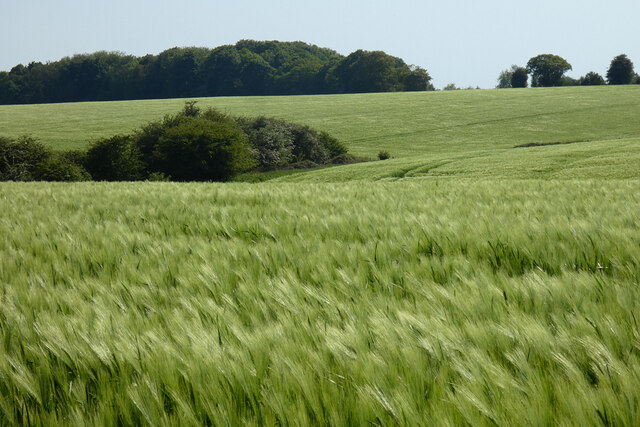
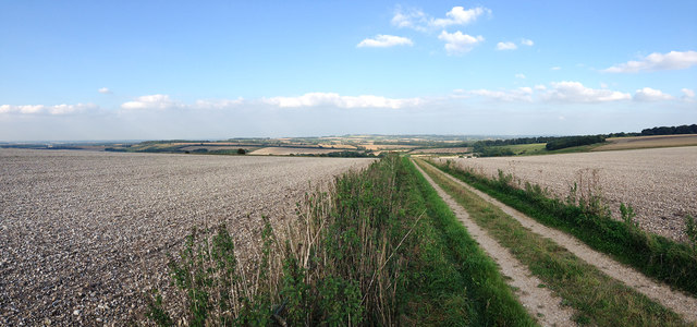
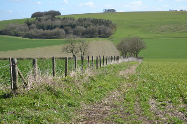
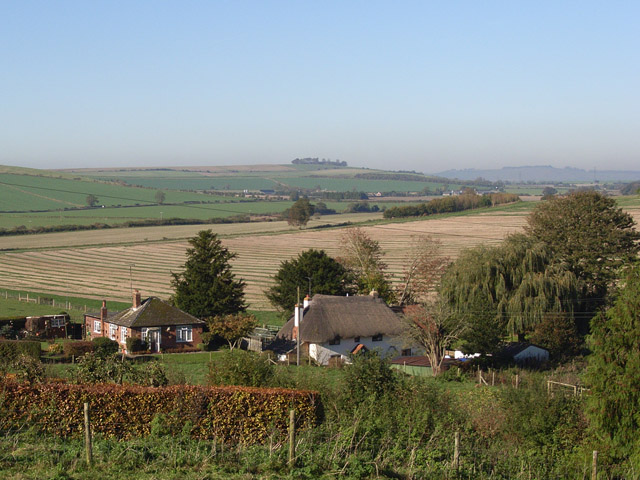
Wexcombe Down is a prominent hill located in the county of Wiltshire, England. It is situated near the village of Wexcombe and is part of the wider Marlborough Downs, which form a range of rolling hills in the southern part of the county. Standing at an elevation of approximately 238 meters (780 feet), Wexcombe Down offers commanding views of the surrounding countryside.

The hill is primarily composed of chalk, a characteristic feature of the Marlborough Downs, and is covered in a mixture of grassland and scattered patches of woodland. This diverse habitat supports a variety of flora and fauna, including wildflowers, butterflies, and birds.

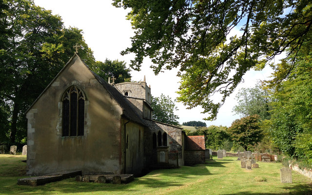
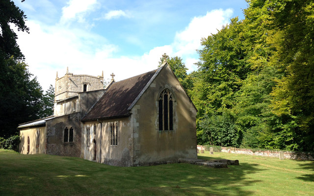
Wexcombe Down is a popular destination for outdoor enthusiasts, offering opportunities for walking, hiking, and nature observation. Several public footpaths crisscross the hill, allowing visitors to explore its scenic landscapes and enjoy the fresh air. The area is also known for its archaeological significance, with evidence of prehistoric activity and ancient burial mounds discovered in the vicinity.

The hill is easily accessible by road, with parking available nearby, and is a short distance from the village of Wexcombe, where visitors can find amenities such as shops and cafes. Wexcombe Down provides a tranquil and picturesque setting for those seeking to connect with nature and experience the beauty of the Wiltshire countryside.

If you have any feedback on the listing, please let us know in the comments section below.

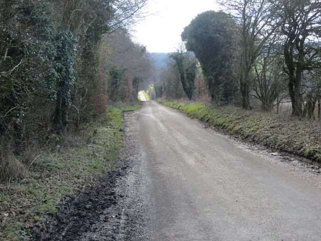
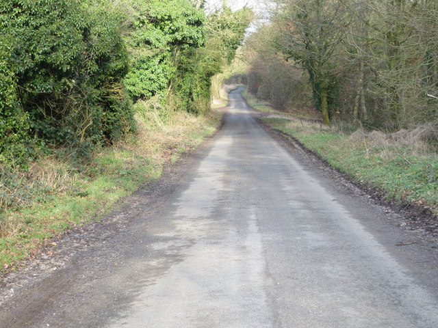
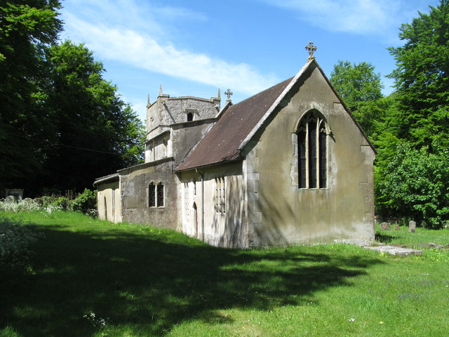
Wexcombe Down Images

Images are sourced within 2km of 51.318166/-1.6025939 or Grid Reference SU2757. Thanks to Geograph Open Source API. All images are credited.

Farmland, Tidcombe Gently undulating fields of barley viewed from a bridleway to the south of the village.
Farmland, Tidcombe
Gently undulating fields of barley viewed from a bridleway to the south of the village.
St Michael's Church, Tidcombe Tidcombe's delightful church of St Michael's is Grade II* listed and includes a tower dating back to the C17th.  Evidence suggests there was a church here as far back as the mid 1200s.
St Michael's Church, Tidcombe
Tidcombe's delightful church of St Michael's is Grade II* listed and includes a tower dating back to the C17th. Evidence suggests there was a church here as far back as the mid 1200s.
St Michael's Church, Tidcombe A delightful Grade II* Listed country church  incorporating a C17th tower.
St Michael's Church, Tidcombe
A delightful Grade II* Listed country church incorporating a C17th tower.
Arable farmland near Tidcombe, Wiltshire Chalk downland in the far distance gives way to largely arable land separated by hedgerows and dotted with small woods and copses.
Arable farmland near Tidcombe, Wiltshire
Chalk downland in the far distance gives way to largely arable land separated by hedgerows and dotted with small woods and copses.
Ploughed fields high on chalk downland This view eastwards shows the recently ploughed fields high on the chalk ridge above Tidcombe, Wiltshire, close to the Hampshire border.
Ploughed fields high on chalk downland
This view eastwards shows the recently ploughed fields high on the chalk ridge above Tidcombe, Wiltshire, close to the Hampshire border.
Stained glass at St Michael's, Tidcombe Chancel stained glass window at St Michael's, Tidcombe, Wiltshire.
Stained glass at St Michael's, Tidcombe
Chancel stained glass window at St Michael's, Tidcombe, Wiltshire.
Chute Causeway at Scot's Poor Looking south-eastward.
Chute Causeway at Scot's Poor
Looking south-eastward.
Chute Causeway Looking south-westward.
Chute Causeway
Looking south-westward.
Chute Causeway Looking north-eastward.
Chute Causeway
Looking north-eastward.
Church of St Michael, Tidcombe A little flint and rubble built church with rendered walls. Most of it dates from the 'Decorated' period, although the tower is later. A very peaceful spot.
Church of St Michael, Tidcombe
A little flint and rubble built church with rendered walls. Most of it dates from the 'Decorated' period, although the tower is later. A very peaceful spot.
Tidcombe Manor Not many people visit Tidcombe, a hamlet along a dead end lane on Wiltshire downland. However a visit is worthwhile to see both the parish church and this attractive 18th century manor house.
Tidcombe Manor
Not many people visit Tidcombe, a hamlet along a dead end lane on Wiltshire downland. However a visit is worthwhile to see both the parish church and this attractive 18th century manor house.
Finishing touches A group of thatchers working on a cottage at Scot's Poor. The thatching has been done using straw from Devonshire, whilst there's just the protective netting to fix.  This looks like another of those 'gentrification' examples in this part of the world, which seems to be creeping ever closer to London.
Finishing touches
A group of thatchers working on a cottage at Scot's Poor. The thatching has been done using straw from Devonshire, whilst there's just the protective netting to fix. This looks like another of those 'gentrification' examples in this part of the world, which seems to be creeping ever closer to London.
View into valley from summit of Fair Mile
Along the summit of Fair Mile
On Fair Mile, looking towards Wexcombe waterworks The red van is parked at the waterworks.
On Fair Mile, looking towards Wexcombe waterworks
The red van is parked at the waterworks.
Valley side south of Wexcombe
No through road south of Wexcombe
Thatched cottages at Wexcombe
Show me another place!

Wexcombe Down is located at Grid Ref: SU2757 (Lat: 51.318166, Lng: -1.6025939)

Unitary Authority: Wiltshire

Police Authority: Wiltshire

What 3 Words

///behind.enveloped.payout. Near Collingbourne Kingston, Wiltshire

Related Wikis

Tidcombe

Tidcombe is a small village in Wiltshire, England, on the eastern edge of the county, near Hampshire, about 9 miles (14 km) southeast of Marlborough and...

Tidcombe and Fosbury

Tidcombe and Fosbury is a civil parish in Wiltshire, England, about 10 miles (16 km) southeast of Marlborough and 7 miles (11 km) south of Hungerford,...

Grafton, Wiltshire

Grafton is a civil parish in Wiltshire, England, in the Vale of Pewsey about 7 miles (11 km) southeast of Marlborough. Its main settlement is the village...

Botley Down

Botley Down (grid reference SU292598) is a biological Site of Special Scientific Interest in Wiltshire, notified in 1989. == Sources == Natural England...
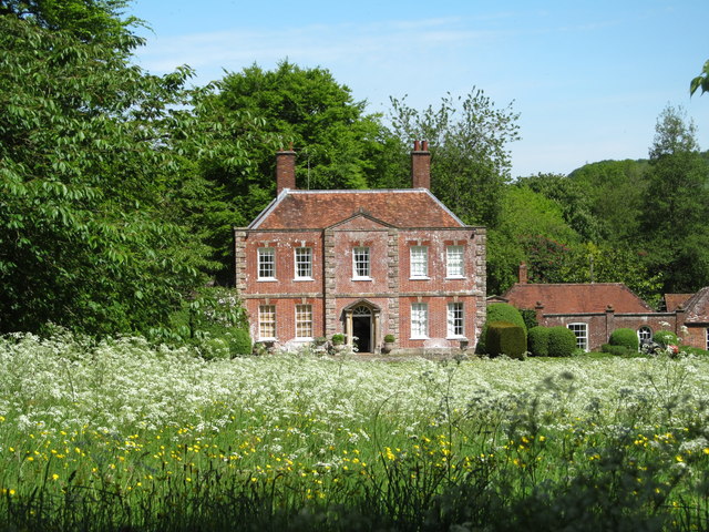
Fosbury House

Fosbury House is a Grade II listed country house northwest of the village of Fosbury in Wiltshire, England, about 11 miles (18 km) southeast of Marlborough...
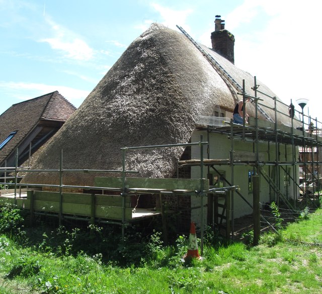
Hippenscombe

Hippenscombe is a hamlet within the civil parish of Tidcombe and Fosbury, Wiltshire, in the southwest of England. Marked only on large-scale maps, it lies...
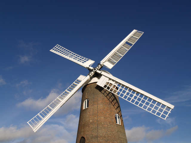
Wilton Windmill

The Wilton Windmill is a five-floor brick tower mill, standing on a chalk ridge between the villages of Wilton and Great Bedwyn in the southern English...

Brunton, Wiltshire

Brunton is a hamlet adjacent to the village of Collingbourne Kingston in Wiltshire, England. Records of Brunton's existence date back to the 10th century...

Nearby Amenities

Located within 500m of 51.318166,-1.6025939
Wexcombe Down
Ele: 267
Natural: peak
Lat/Long: 51.3186858/-1.5980363
The data included in this document is from www.openstreetmap.org. The data is made available under ODbL.

Have you been to Wexcombe Down?

Leave your review of Wexcombe Down below (or comments, questions and feedback).