Touch House

Heritage Site in Stirlingshire

Scotland

Touch House

Garshellach Forest On the eastern slopes of Carleatheran. The field in front is in the process of being cut for silage
Garshellach Forest Credit: Eirian Evans

Touch House is a grand mansion located in Stirlingshire, Scotland, that holds significant historical and architectural value. Built in the early 18th century, the house stands as a testament to the opulence and grandeur of the era. The mansion is situated amidst sprawling gardens and picturesque landscapes, adding to its charm and allure.

The architectural style of Touch House is predominantly Georgian, with influences from the Palladian and neoclassical periods. The exterior showcases a symmetrical design, with elegant columns and a grand entrance portico. The interiors are equally impressive, featuring high ceilings, ornate plasterwork, intricate woodwork, and lavish furnishings.

Throughout its history, Touch House has been associated with prominent families and figures. It was originally constructed for the Seton family, who held the estate for several generations. In the 19th century, the house was acquired by the Forbes family, who made significant additions and alterations, further enhancing its architectural splendor.

Over the years, Touch House has undergone various restorations to preserve its historical integrity. Today, it stands as a testament to the past, offering visitors an opportunity to step back in time and experience the grandeur of bygone eras. The house also serves as a venue for cultural and social events, including weddings and exhibitions.

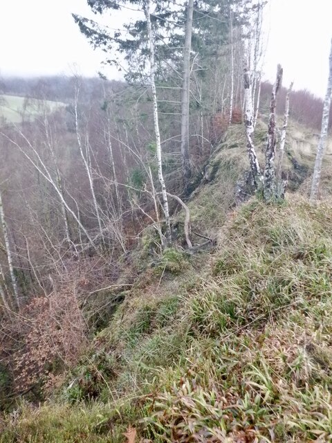
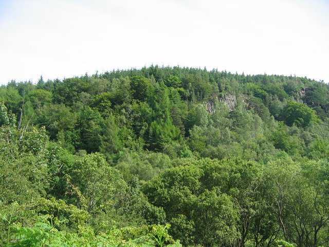
Surrounded by lush gardens and parkland, Touch House provides a tranquil setting for visitors to explore. The estate also boasts several outbuildings, including a stable block and a walled garden, adding to its historical significance.

Overall, Touch House in Stirlingshire is a remarkable heritage site, offering a glimpse into Scotland's rich architectural and cultural heritage.

If you have any feedback on the listing, please let us know in the comments section below.

Touch House Images

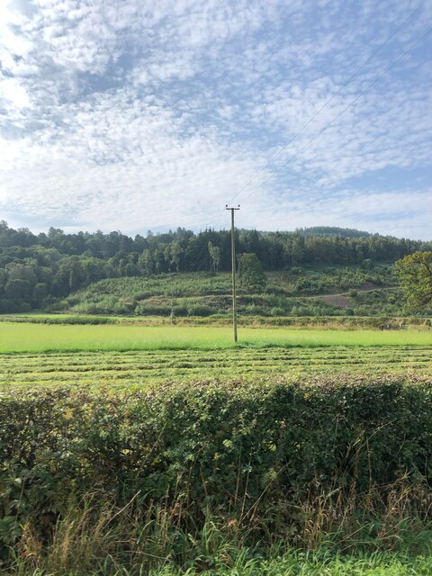
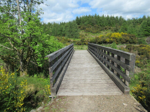
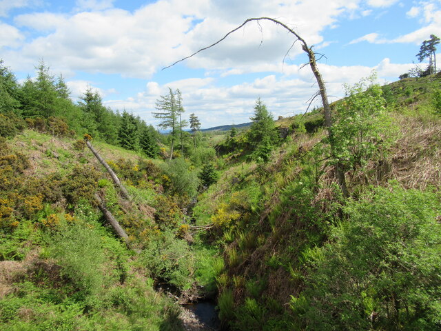
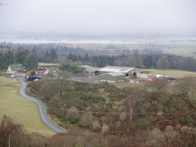
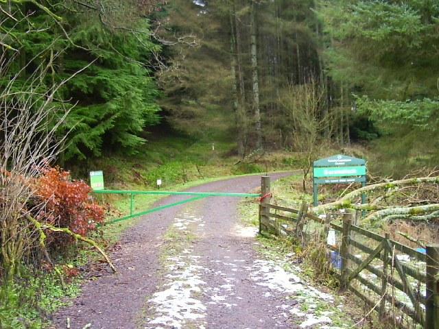
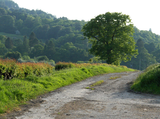
Images are sourced within 2km of 56.108/-4.002 or Grid Reference NS7592. Thanks to Geograph Open Source API. All images are credited.

Garshellach Forest On the eastern slopes of Carleatheran. The field in front is in the process of being cut for silage
Garshellach Forest
On the eastern slopes of Carleatheran. The field in front is in the process of being cut for silage
Footbridge over the West Burn in Garshellach Forest Various paths and tracks exist within Garshellach Forest which offer a variety of walks.
Footbridge over the West Burn in Garshellach Forest
Various paths and tracks exist within Garshellach Forest which offer a variety of walks.
West Burn in Garshellach Forest A view from the footbridge over this small burn in the Garshellach Forest, which drains into the River Forth via the Touch Burn (pronounced 'tooch', with the ch sound as in 'loch').
West Burn in Garshellach Forest
A view from the footbridge over this small burn in the Garshellach Forest, which drains into the River Forth via the Touch Burn (pronounced 'tooch', with the ch sound as in 'loch').
Cambusbarron Quarry (disused) A disused whinstone quarry on this small hill near Stirling, which is one of a number of 'crag and tail' formations in the area, including the rock on which Stirling Castle sits.
Cambusbarron Quarry (disused)
A disused whinstone quarry on this small hill near Stirling, which is one of a number of 'crag and tail' formations in the area, including the rock on which Stirling Castle sits.
Murrayshall Farm The carse beyond is fogbound.
Murrayshall Farm
The carse beyond is fogbound.
Sauchie Craig A whinstone scarp. I get the impression that this is what Salisbury Crags looked like when wooded and before they were quarried. The path along the edge is very enjoyable.
Sauchie Craig
A whinstone scarp. I get the impression that this is what Salisbury Crags looked like when wooded and before they were quarried. The path along the edge is very enjoyable.
Sauchie Craig This square is mostly forest. Within the forest is a line of crags, probably dolerite. Mostly hidden at this end they can just be seen through the trees.
Sauchie Craig
This square is mostly forest. Within the forest is a line of crags, probably dolerite. Mostly hidden at this end they can just be seen through the trees.
Wild mountain thyme Wild flowers growing on a basalt outcrop just off the water board track. This area is made of lava flows giving a stepped or "trap" appearance to the landscape. Basalt weathers into a mineral rich soil, and basalt hills are often well vegetated.
Wild mountain thyme
Wild flowers growing on a basalt outcrop just off the water board track. This area is made of lava flows giving a stepped or "trap" appearance to the landscape. Basalt weathers into a mineral rich soil, and basalt hills are often well vegetated.
Stirling Training Camp M.O.D land near Stirling.  Also used as a 4x4 off roading centre as can be seen by the vehicle tracks in the distance.
Stirling Training Camp
M.O.D land near Stirling. Also used as a 4x4 off roading centre as can be seen by the vehicle tracks in the distance.
Track into woods near Craigniven Looking W from position
Track into woods near Craigniven
Looking W from position
Touch Burn From its confluence with the Forth, where it flows beneath the ramparts of an old railway bridge.
Touch Burn
From its confluence with the Forth, where it flows beneath the ramparts of an old railway bridge.
The old Dumbarton road, near Stirling From Touch (old) bridge, which was replaced by a new one to the south in 1967.
The old Dumbarton road, near Stirling
From Touch (old) bridge, which was replaced by a new one to the south in 1967.
West Cambusdrennie Viewed from Chalmerston Road.
West Cambusdrennie
Viewed from Chalmerston Road.
Waterfall, Touch Glen I had quite an expedition to get here, wading thigh deep in the stream and struggling with a mass of fallen tree trunks. I descended along West Burn and then Touch Burn which is pictured. This isn't the fall marked on the map. This is roughly midway between that one and the confluence with West Burn.
Waterfall, Touch Glen
I had quite an expedition to get here, wading thigh deep in the stream and struggling with a mass of fallen tree trunks. I descended along West Burn and then Touch Burn which is pictured. This isn't the fall marked on the map. This is roughly midway between that one and the confluence with West Burn.
Pasture and copse, Touch This is the round copse in the east of the grid-square taken from near the corner on the Touch Mollar road.
Pasture and copse, Touch
This is the round copse in the east of the grid-square taken from near the corner on the Touch Mollar road.
Hillhead The meadow, yellow with buttercups, is just beneath Gartur.
Hillhead
The meadow, yellow with buttercups, is just beneath Gartur.
Touch Filter Station The western end of the Ochil Hills rise beyond the Forth valley.
Touch Filter Station
The western end of the Ochil Hills rise beyond the Forth valley.
Touch Mollar The road is surfaced as far as the nearby filter station.
Touch Mollar
The road is surfaced as far as the nearby filter station.
Show me another place!

Touch House is located at Grid Ref: NS7592 (Lat: 56.108, Lng: -4.002)

What 3 Words

///cared.fidgeting.comic. Near Stirling

Nearby Locations

Touch House

Related Wikis

Touch House

Touch House is a country house located 4 kilometres (2.5 mi) west of Stirling in central Scotland. It stands at the foot of the Touch Hills, on the south...

Gillies Hill

Gillies Hill is located west of Stirling and the M9, south of Cambusbarron, and north of the Bannock Burn in Central Scotland. Gillies Hill covers a 140...

Cambusbarron

Cambusbarron is a village in Stirling, Scotland. In the 2001 census, it had a population of 3,224. There is evidence of settlement at the site since the...

Birkhill House, Stirling

Birkhill House is a historic house situated between the city of Stirling and the village of Cambusbarron in central Scotland. == History == There is evidence...

Related Videos

Hiking to Gilmour's Linn waterfall & Charlie's cave (4K)

In this video, I show the path that is needed to take you to the Gilmour's Linn waterfall and Charlie's cave, in Cambusbarron, ...

#waterfalls #nature #travel #naturephotography #jeffbezosquotes #morninginspiration #mindfulness

Gilmour's Linn and Charlie's Cave, Sturling-Scotland 󠁧󠁢󠁳󠁣󠁴󠁿 Touch Hills, Stirling Gilmour's Linn is an exceptionally ...
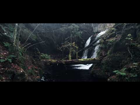
Nearby Amenities

Located within 500m of 56.108,-4.002
Touch Business Centre
Landuse: commercial
Source: survey
Lat/Long: 56.1113939/-4.0053806
Barrier: cattle_grid
Bicycle: yes
Foot: yes
Motorcar: yes
Motorcycle: yes
Source: survey
Lat/Long: 56.1049919/-3.9990881
Parking
Source: survey
Lat/Long: 56.1119436/-4.0047204
Power: pole
Lat/Long: 56.1117383/-4.0052905
The data included in this document is from www.openstreetmap.org. The data is made available under ODbL.

Have you been to Touch House?

Leave your review of Touch House below (or comments, questions and feedback).