Totternhoe
Heritage Site in Bedfordshire
England
Totternhoe
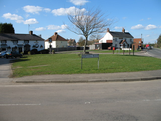
Totternhoe is a small village located in the county of Bedfordshire, England. Situated on the eastern edge of the Chiltern Hills, Totternhoe is known for its rich history and heritage. The village is home to a number of ancient monuments and architectural wonders, making it a popular destination for history enthusiasts and tourists alike.
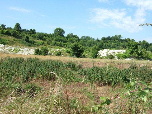
One of the main attractions in Totternhoe is the Totternhoe Knolls, a site of Special Scientific Interest. This area is renowned for its geological features, including limestone grassland and rare plants. The Knolls also boast the remains of a medieval castle, which was built in the 11th century and played a significant role in the region's history.
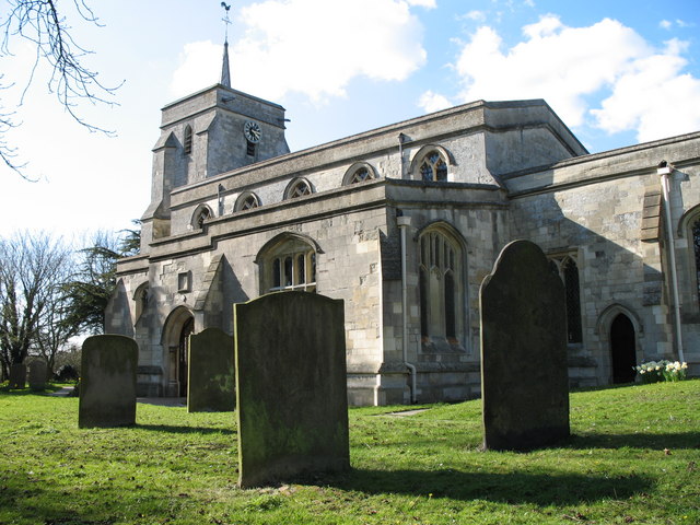
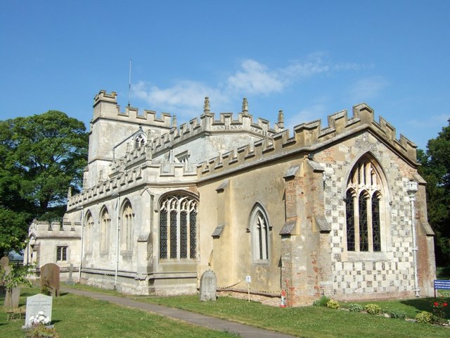
Another notable landmark in Totternhoe is the Church of St. Giles. Dating back to the 13th century, this beautiful church is known for its stunning architecture and intricate stained glass windows. The church is still active and holds regular services, attracting locals and visitors looking for a peaceful place of worship.
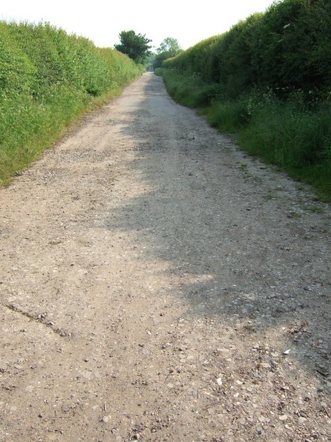
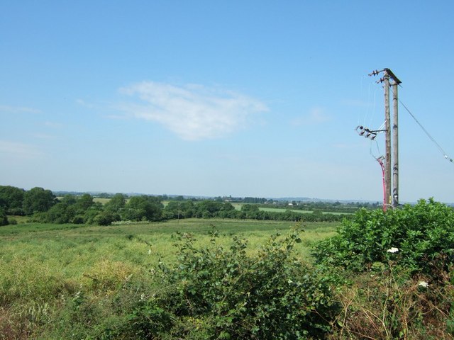
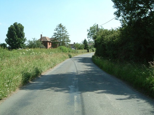
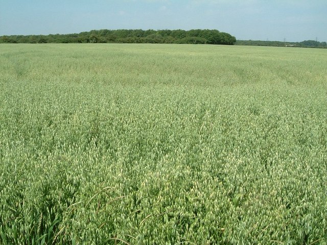
In addition to its historical sites, Totternhoe offers picturesque views of the surrounding countryside. The village is surrounded by rolling hills and lush green fields, providing ample opportunities for outdoor activities such as hiking and nature walks.
Overall, Totternhoe is a charming village with a rich heritage and natural beauty. Its ancient monuments, medieval castle, and beautiful church make it a must-visit destination for those interested in history and architecture. Whether exploring the Totternhoe Knolls or simply enjoying the tranquil countryside, visitors to Totternhoe are sure to be captivated by its timeless charm.
If you have any feedback on the listing, please let us know in the comments section below.
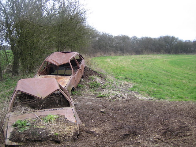
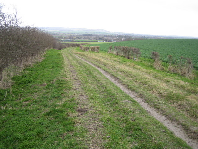
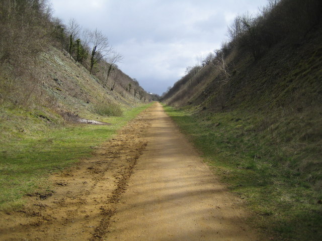
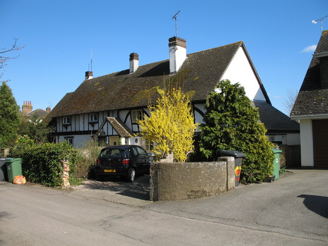
Totternhoe Images
Images are sourced within 2km of 51.888/-0.577 or Grid Reference SP9822. Thanks to Geograph Open Source API. All images are credited.
Totternhoe is located at Grid Ref: SP9822 (Lat: 51.888, Lng: -0.577)
What 3 Words
///knots.guards.float. Near Totternhoe, Bedfordshire
Nearby Locations
Related Wikis

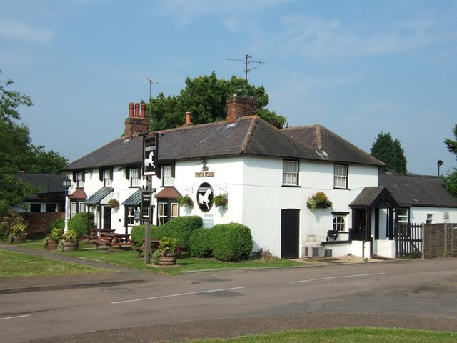
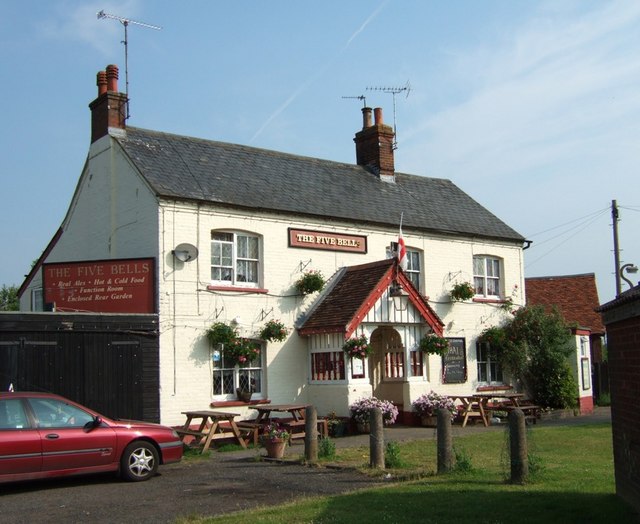
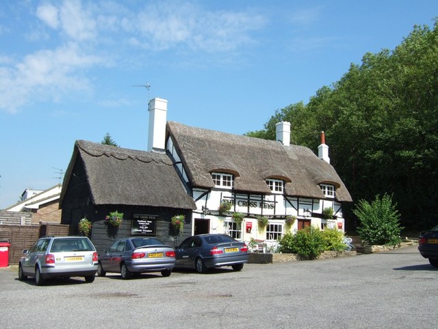
The Cross Keys, Totternhoe
The Cross Keys is a Grade II listed pub in Totternhoe, Bedfordshire, England It is a 17th-century thatched building and the first floor is timber-framed...

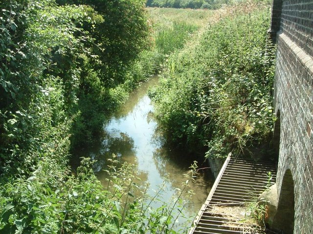
Totternhoe nature reserve
Totternhoe nature reserve is managed by the Wildlife Trust for Bedfordshire, Cambridgeshire and Northamptonshire (WTBCN). The 31-hectare (77-acre) site...

Totternhoe Stone Pit
Totternhoe Stone Pit is a geological Site of Special Scientific Interest in Totternhoe in Bedfordshire, England. It is also a Geological Conservation Review...

Totternhoe Castle
Totternhoe Castle was a Norman castle in Totternhoe. Bedfordshire. Only earthworks survive. It is a Scheduled Monument, and part of Totternhoe Knolls Site...
Nearby Amenities
Located within 500m of 51.888,-0.577Have you been to Totternhoe?
Leave your review of Totternhoe below (or comments, questions and feedback).