Tinnis Castle

Heritage Site in Peeblesshire

Scotland

Tinnis Castle

Farmland above Drumelzier
Farmland above Drumelzier Credit: Colin Park

Tinnis Castle, located in Peeblesshire, Scotland, is a historic heritage site that holds significant architectural and historical value. The castle is situated near the banks of the River Tweed, approximately two miles northeast of Peebles town.

Believed to have been built in the 14th century, Tinnis Castle was initially constructed as a fortified tower house. It was owned by the Tweedie family, a prominent Scottish clan, until the late 17th century. The castle then passed through various hands, including the Hay family and the Marquess of Tweeddale, before falling into a state of disrepair in the 19th century.

The castle's architectural features reflect its medieval origins, with thick stone walls and small windows designed for defense. It consists of a rectangular tower with four storeys and a stone spiral staircase leading to the upper floors. The interior includes a great hall, private chambers, and a vaulted basement.

Despite its dilapidated state, Tinnis Castle still retains its ancient charm and offers visitors a glimpse into Scotland's rich history. Today, the castle is classified as a Category A listed building, recognizing its architectural importance.

Accessible by foot, Tinnis Castle stands on private land, but visitors can admire the exterior and explore the surrounding grounds. Its picturesque setting and historical significance make it a popular destination for history enthusiasts, photographers, and those seeking a tranquil escape in the Scottish countryside.

If you have any feedback on the listing, please let us know in the comments section below.

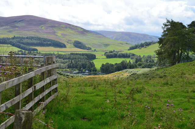
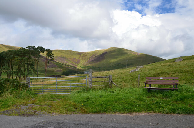
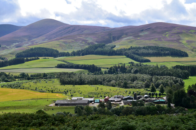
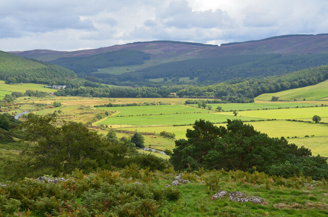
Tinnis Castle Images

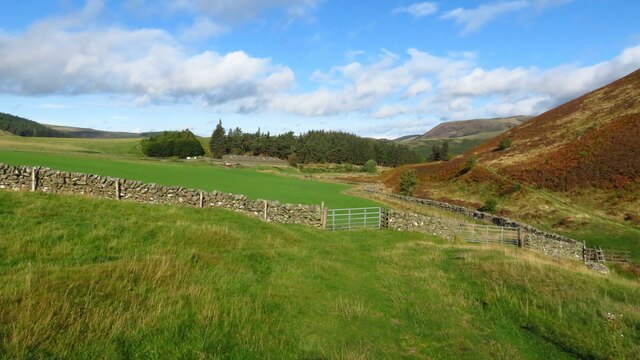
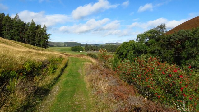
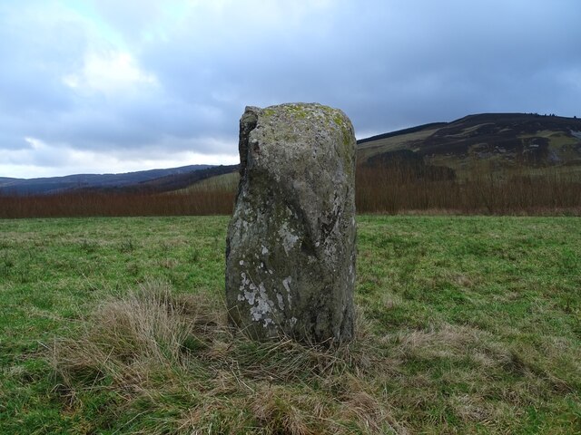
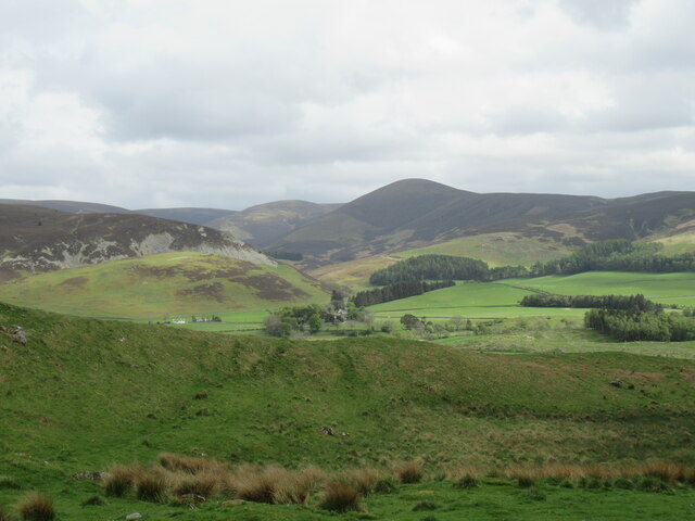
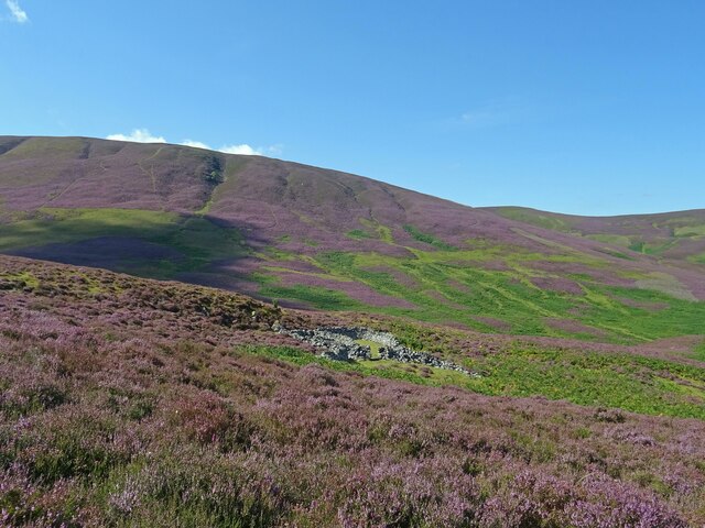
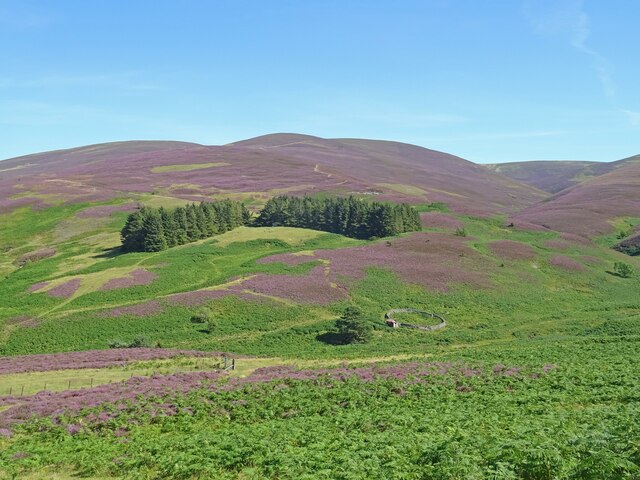
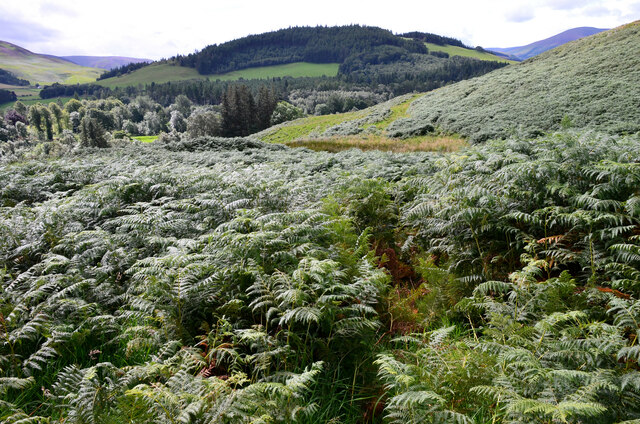
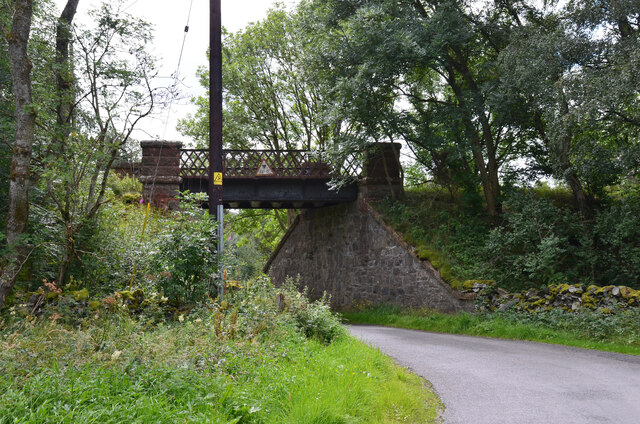
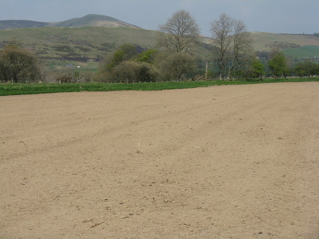
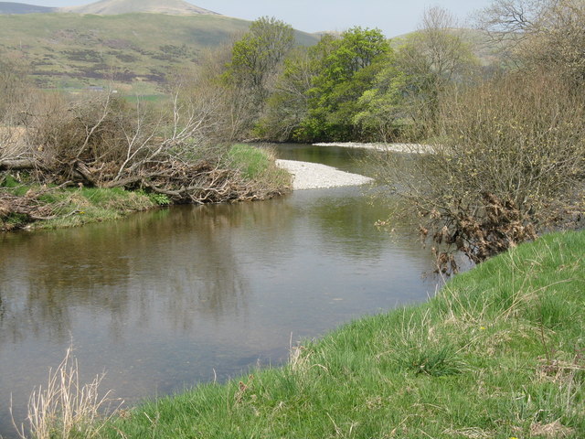
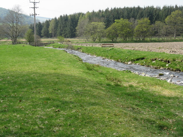
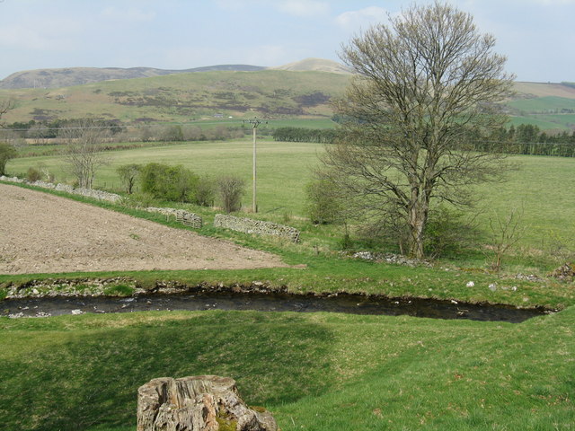
Images are sourced within 2km of 55.597/-3.357 or Grid Reference NT1434. Thanks to Geograph Open Source API. All images are credited.

Farmland above Drumelzier
Track beside Drumelzier Burn, southeast of Drumelzier
Drumelzier Standing Stone The standing stone near Drumelzier.
Photo taken on the 2nd January 2022.
Drumelzier Standing Stone
The standing stone near Drumelzier. Photo taken on the 2nd January 2022.
View towards Drumelzier Law from Dreva Craig Drumelzier Law rises above low-lying farmland by the River Tweed.
View towards Drumelzier Law from Dreva Craig
Drumelzier Law rises above low-lying farmland by the River Tweed.
Lower Slopes of Drumelzier Law Lovely early autumnal/late summer colours in the hills south of Drumelzier.
The differing shades of purple showing that both Common Heather and Bell Heather are in abundance on the hills here.
Lower Slopes of Drumelzier Law
Lovely early autumnal/late summer colours in the hills south of Drumelzier. The differing shades of purple showing that both Common Heather and Bell Heather are in abundance on the hills here.
Heather in Full Bloom Sheepfold above the Drumelzier Burn and the lower slopes of Pykestone Hill seen from Finglen Rig. Heather in full bloom and very different to the relatively drab colours seen here in October 2020:-
<a title="https://www.geograph.org.uk/photo/6627953" href="https://www.geograph.org.uk/photo/6627953">Link</a>
Heather in Full Bloom
Sheepfold above the Drumelzier Burn and the lower slopes of Pykestone Hill seen from Finglen Rig. Heather in full bloom and very different to the relatively drab colours seen here in October 2020:- Link
Scattered trees above Drumelzier
Merlindale Bridge Merlindale Bridge crosses the River Tweed on the B712 at Drumelzier . This minor road runs from Hallyn to Rachan. It is the first bridge to take a classified road over the Tweed downstream from the river's source
Merlindale Bridge
Merlindale Bridge crosses the River Tweed on the B712 at Drumelzier . This minor road runs from Hallyn to Rachan. It is the first bridge to take a classified road over the Tweed downstream from the river's source
From the summit of the Dreva road Looking over Rachan Home Farm to the heathery upper slopes of Logan Head.
From the summit of the Dreva road
Looking over Rachan Home Farm to the heathery upper slopes of Logan Head.
Summit of the Dreva road The road reaches 260m as it crosses the ridge of Dreva Hill. Trahenna Hill is in the background.
Summit of the Dreva road
The road reaches 260m as it crosses the ridge of Dreva Hill. Trahenna Hill is in the background.
Rachan Home Farm The farm seen from the summit of Dreva Craig with the ridge from Logan Head to Drumelzier Law in the background.
Rachan Home Farm
The farm seen from the summit of Dreva Craig with the ridge from Logan Head to Drumelzier Law in the background.
Flood plain of the Tweed, Drumelzier Flat fields bordering the river seen from the summit of Dreva Craig.
Flood plain of the Tweed, Drumelzier
Flat fields bordering the river seen from the summit of Dreva Craig.
Dense bracken on Dreva Craig Getting to grips with a belt of bracken, head-high in places, on the southern slope.
Dense bracken on Dreva Craig
Getting to grips with a belt of bracken, head-high in places, on the southern slope.
Former railway bridge, Rachan A bridge on the former Caledonian railway between Peebles, Broughton, Biggar and Symington. The last passenger service ran in 1950 and this section between Broughton and Peebles closed completely in 1954. For a view of the other side of the bridge, please see <a href="https://www.geograph.org.uk/photo/6517111">NT1234 : Former railway bridge, Rachan</a>.
Former railway bridge, Rachan
A bridge on the former Caledonian railway between Peebles, Broughton, Biggar and Symington. The last passenger service ran in 1950 and this section between Broughton and Peebles closed completely in 1954. For a view of the other side of the bridge, please see NT1234 : Former railway bridge, Rachan.
Newly sown field by the River Tweed Dry dusty soil on the alluvial flood plain; looking north over the Tweed, which is behind the low levee, at Drumelzier towards Trahenna Hill.
Newly sown field by the River Tweed
Dry dusty soil on the alluvial flood plain; looking north over the Tweed, which is behind the low levee, at Drumelzier towards Trahenna Hill.
Burnfoot Pool on the River Tweed At Drumelzier, where the Pausayl Burn joins the Tweed, and near where, according to legend, the wizard Merlin was buried.
Burnfoot Pool on the River Tweed
At Drumelzier, where the Pausayl Burn joins the Tweed, and near where, according to legend, the wizard Merlin was buried.
The Pausayl Burn at Drumelzier Just before it flows into the River Tweed. According to legend, at least as old as the 15th century, the wizard Merlin was buried near here, but there is nothing to see, and nothing has ever been recorded, at the place in question. The story may have originated from the discovery of a Bronze Age cist.
The Pausayl Burn at Drumelzier
Just before it flows into the River Tweed. According to legend, at least as old as the 15th century, the wizard Merlin was buried near here, but there is nothing to see, and nothing has ever been recorded, at the place in question. The story may have originated from the discovery of a Bronze Age cist.
The Tweed Valley at Drumelzier Looking north, from just north of the church, over the Pausayl Burn to the course of the main river beyond, and Trahenna Hill in the distance.
The Tweed Valley at Drumelzier
Looking north, from just north of the church, over the Pausayl Burn to the course of the main river beyond, and Trahenna Hill in the distance.
Show me another place!

Tinnis Castle is located at Grid Ref: NT1434 (Lat: 55.597, Lng: -3.357)

Unitary Authority: The Scottish Borders

Police Authority: The Lothians and Scottish Borders

What 3 Words

///devalued.outnumber.division. Near Biggar, South Lanarkshire

Nearby Locations

Tinnis Castle

Related Wikis

Drumelzier

Drumelzier (), is a village and civil parish on the B712 in the Tweed Valley in the Scottish Borders. The area of the village is extensive and includes...

Biggar Water

Biggar Water is a river in Lanarkshire and Peeblesshire, in the Southern Uplands of Scotland. It forms part of the River Tweed system. It rises, as Biggar...

Dreva on Tweed

Dreva on Tweed (or simply Dreva) is a hamlet in the Scottish Borders. It was historically in Peebles-shire. It is noted for the historical presence of...

Bellspool

Bellspool is a village in the Scottish Borders area of Scotland, near to Drumelzier, Hopcarton and Kingledoors == See also == List of places in the Scottish...

Nearby Amenities

Located within 500m of 55.597,-3.357
Drumelzier Haugh
Place: locality
Lat/Long: 55.5995875/-3.3626046
Vane Law
Ele: 452
Natural: peak
Lat/Long: 55.5931427/-3.3562299
Power: pole
Lat/Long: 55.6000608/-3.3626175
The data included in this document is from www.openstreetmap.org. The data is made available under ODbL.

Have you been to Tinnis Castle?

Leave your review of Tinnis Castle below (or comments, questions and feedback).