Tinner's Hut

Heritage Site in Devon

England

Tinner's Hut

Prehistoric Round Cairn at Watern Tor (Scale 2m) <span class="nowrap"><a title="https://historicengland.org.uk/listing/the-list/list-entry/1017482?section=official-listing" rel="nofollow ugc noopener" href="https://historicengland.org.uk/listing/the-list/list-entry/1017482?section=official-listing">Link</a><img style="margin-left:2px;" alt="External link" title="External link - shift click to open in new window" src="https://s1.geograph.org.uk/img/external.png" width="10" height="10"/></span>
Prehistoric Round Cairn at Watern Tor Credit: Sandy Gerrard

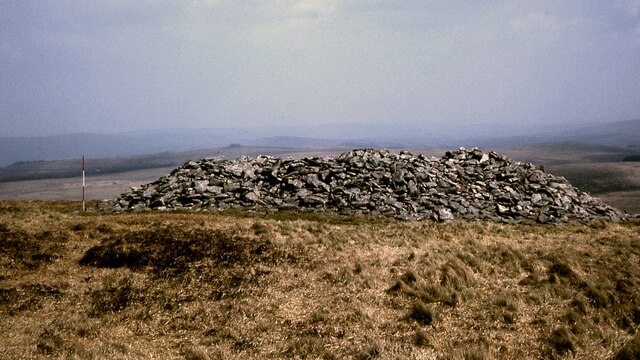
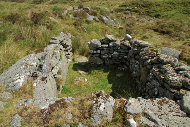
Tinner's Hut, located in Devon, England, is a significant heritage site that offers a glimpse into the region's rich mining history. Situated on the scenic Dartmoor National Park, this small stone structure stands as a testament to the perseverance and skills of the tin miners who once populated the area.

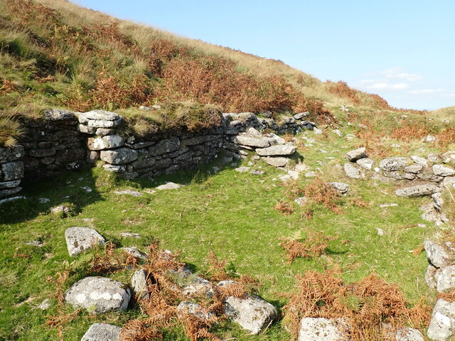
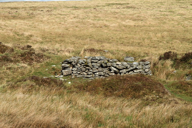
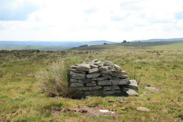
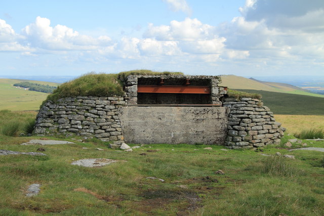
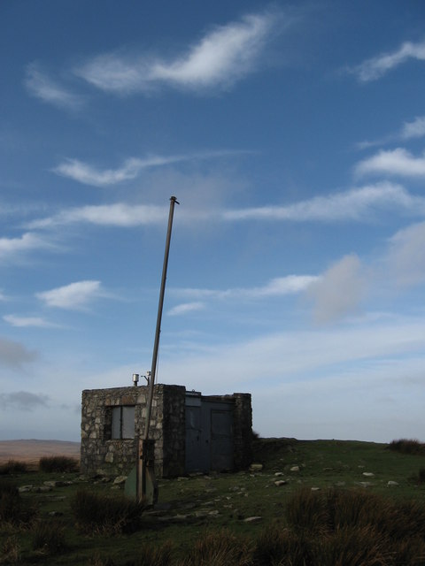
Built in the 19th century, Tinner's Hut served as a shelter for the tinners, also known as tin miners, who worked tirelessly in the surrounding moorland. The hut's construction consists of a simple rectangular design, with thick stone walls and a corrugated iron roof. Inside, visitors can find a basic fireplace, a sleeping area, and a small storage space, all of which provided the necessary amenities for the tinners during their long shifts.

The hut played a crucial role in the tin mining industry, providing a refuge for the workers during harsh weather conditions, as well as a place to rest and eat their meals. It stands as a reminder of the challenging and dangerous conditions endured by the tinners, who faced harsh winters, unpredictable terrain, and the constant threat of collapse in the mines.

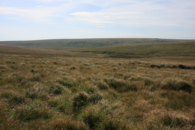
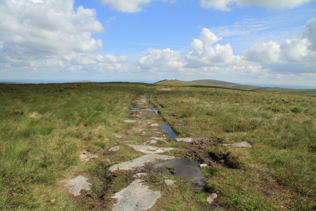
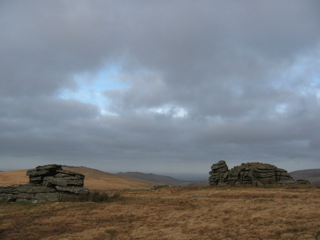
Today, Tinner's Hut is preserved as a heritage site, offering visitors a chance to step back in time and explore the history of tin mining on Dartmoor. Surrounded by the breathtaking landscape of the national park, the hut serves as a poignant reminder of the region's industrial past and the resilience of its people.

If you have any feedback on the listing, please let us know in the comments section below.
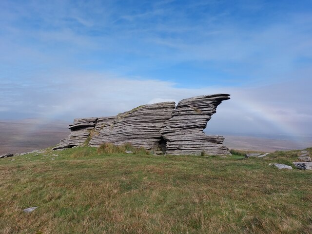
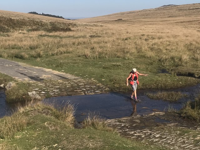
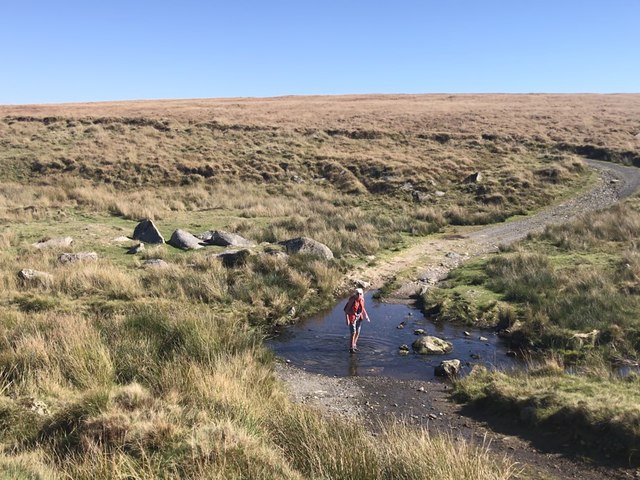
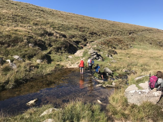
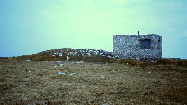
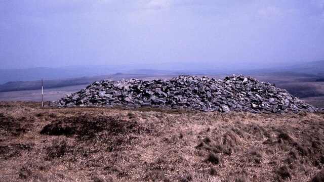
Tinner's Hut Images

Images are sourced within 2km of 50.67/-3.96 or Grid Reference SX6187. Thanks to Geograph Open Source API. All images are credited.

Prehistoric Round Cairn at Watern Tor (Scale 2m) <span class="nowrap"><a title="https://historicengland.org.uk/listing/the-list/list-entry/1017482?section=official-listing" rel="nofollow ugc noopener" href="https://historicengland.org.uk/listing/the-list/list-entry/1017482?section=official-listing">Link</a><img style="margin-left:2px;" alt="External link" title="External link - shift click to open in new window" src="https://s1.geograph.org.uk/img/external.png" width="10" height="10"/></span>
Prehistoric Round Cairn at Watern Tor
(Scale 2m) LinkExternal link
A faint rainbow at Watern Tor / Thirlstone
Deep Ford Okehampton Ranges A second visit to this setted ford. An image from our first visit can be seen at:
<a title="https://www.geograph.org.uk/photo/4188778" href="https://www.geograph.org.uk/photo/4188778">Link</a>
Deep Ford Okehampton Ranges
A second visit to this setted ford. An image from our first visit can be seen at: Link
River Taw Ford This is another ford on Okement Hill on the Okehampton Ranges. Video of the ford can be viewed at:
<span class="nowrap"><a title="https://youtu.be/iktcw623Q90" rel="nofollow ugc noopener" href="https://youtu.be/iktcw623Q90">Link</a><img style="margin-left:2px;" alt="External link" title="External link - shift click to open in new window" src="https://s1.geograph.org.uk/img/external.png" width="10" height="10"/></span>
River Taw Ford
This is another ford on Okement Hill on the Okehampton Ranges. Video of the ford can be viewed at: LinkExternal link
Steeperton Ford This is another ford on the River Taw on the Okehampton Ranges.
Steeperton Ford
This is another ford on the River Taw on the Okehampton Ranges.
Knack Mine near Oke Tor Old tin or copper mine. The remains of the workings straddle Taw Beck.
Knack Mine near Oke Tor
Old tin or copper mine. The remains of the workings straddle Taw Beck.
Cairn at Hangingstone Hill Prehistoric cairn partly encroached on by a modern military observation post (Scale 2m). <span class="nowrap"><a title="https://www.heritagegateway.org.uk/Gateway/Results_Single.aspx?uid=MDV4377&resourceID=104" rel="nofollow ugc noopener" href="https://www.heritagegateway.org.uk/Gateway/Results_Single.aspx?uid=MDV4377&resourceID=104">Link</a><img style="margin-left:2px;" alt="External link" title="External link - shift click to open in new window" src="https://s1.geograph.org.uk/img/external.png" width="10" height="10"/></span>
Cairn at Hangingstone Hill
Prehistoric cairn partly encroached on by a modern military observation post (Scale 2m). LinkExternal link
Round cairn south of Watern Tor A substantial prehistoric cairn with no soil covering. <span class="nowrap"><a title="https://historicengland.org.uk/listing/the-list/list-entry/1017924" rel="nofollow ugc noopener" href="https://historicengland.org.uk/listing/the-list/list-entry/1017924">Link</a><img style="margin-left:2px;" alt="External link" title="External link - shift click to open in new window" src="https://s1.geograph.org.uk/img/external.png" width="10" height="10"/></span>
Round cairn south of Watern Tor
A substantial prehistoric cairn with no soil covering. LinkExternal link
Okemont Hill The western slopes of the hill descending to the valley of Brim Brook.
Okemont Hill
The western slopes of the hill descending to the valley of Brim Brook.
Remains of tinner's hut The ruin shown in <a href="https://www.geograph.org.uk/photo/1491499">SX6288 : Tinner's Hut</a> viewed from the other side of Steeperton Brook.
Remains of tinner's hut
The ruin shown in SX6288 : Tinner's Hut viewed from the other side of Steeperton Brook.
Meiler south of Wild Tor This is thought to have been used to convert peat to charcoal.
Meiler south of Wild Tor
This is thought to have been used to convert peat to charcoal.
Track to Knack Mine Ford This track runs from the base of Hangingstone Hill to the ford on the River Taw.
Track to Knack Mine Ford
This track runs from the base of Hangingstone Hill to the ford on the River Taw.
Tinner's hut by Steeperton Brook The remains of the hut shown in <a href="https://www.geograph.org.uk/photo/1491499">SX6288 : Tinner's Hut</a>, seen from the opposite direction.
Tinner's hut by Steeperton Brook
The remains of the hut shown in SX6288 : Tinner's Hut, seen from the opposite direction.
Observation Post 17
Observation Post 17
Moorland north of Wild Tor
Wild Tor
Wild Tor
Moorland North East of Hangingstone Hill Watern Tor in the far distance.
Moorland North East of Hangingstone Hill
Watern Tor in the far distance.
Observation Post, Hangingstone Hill
Show me another place!

Tinner's Hut is located at Grid Ref: SX6187 (Lat: 50.67, Lng: -3.96)

What 3 Words

///hired.irrigated.attic. Near Okehampton, Devon

Nearby Locations

Tinner's Hut

Related Wikis

Hangingstone Hill

Hangingstone Hill is a hill in North Dartmoor in the southwest English county of Devon. At 603 metres high, it is the joint third highest peak in Devon...
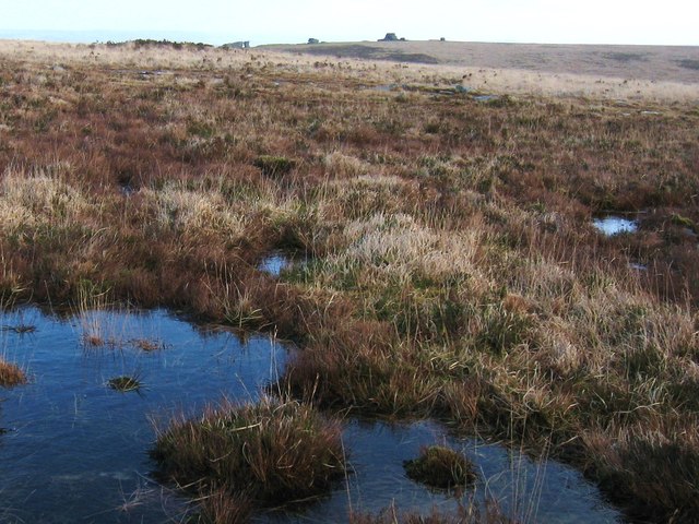
Cranmere Pool

Cranmere Pool is a small depression within a peat bog in the northern half of Dartmoor, Devon, England, at grid reference SX604858. It lies 560 metres...

Scorhill

Scorhill (pronounced Scorill) Stone Circle is now the commonly known name for Gidleigh Stone Circle or Steep Hill Stone Circle, one of Devon's biggest...

High Willhays

High Willhays ( WIL-eez, WIL-hayz), or according to some authorities High Willes, is the highest point on Dartmoor, Devon, at 621 metres (2,039 feet) above...

Nearby Amenities

Located within 500m of 50.67,-3.96
Barrier: block
Material: stone
Lat/Long: 50.6688289/-3.9641809
Natural: spring
Lat/Long: 50.6658547/-3.9596698
Field Telephone Connection
Access: private
Description: Military field telephone connection socket in a concrete box with metal door.
Man Made: telephone
Military: field_telephone
Operator: Ministry of Defence
Ref: OP19
Usage: military
Website: https://webarchive.nationalarchives.gov.uk/20121026065214/http://www.mod.uk/NR/rdonlyres/EBF59C8C-8B0E-4349-B40B-B6566B658959/0/Okehampton_Artillery_Range_Observation_Posts.pdf
Lat/Long: 50.668793/-3.96408
The data included in this document is from www.openstreetmap.org. The data is made available under ODbL.

Have you been to Tinner's Hut?

Leave your review of Tinner's Hut below (or comments, questions and feedback).