Thurcroft Hall
Heritage Site in Yorkshire
England
Thurcroft Hall

Thurcroft Hall is a historic heritage site located in Yorkshire, England. Situated in the village of Thurcroft, this magnificent hall dates back to the 17th century and has significant architectural and historical importance.
The hall is an impressive Grade II listed building that showcases the Jacobean architectural style. It features a symmetrical façade with large mullioned windows and a grand entrance adorned with intricate stone carvings. The building is constructed using local sandstone, adding to its charm and character.
Throughout its history, Thurcroft Hall has served various purposes. Initially, it was a private residence for wealthy landowners, but later, it was converted into a school for girls. The hall also played a vital role during World War II when it was used as an administrative center for the local government.
Today, Thurcroft Hall stands as a testament to Yorkshire's rich heritage and offers visitors a glimpse into the region's past. Although the hall is not open to the public, its exterior can be admired from the surrounding grounds. The beautiful gardens and parkland that surround the hall provide a picturesque setting for leisurely walks and picnics.
Thurcroft Hall's historical significance, architectural beauty, and idyllic location make it a popular spot for photography enthusiasts, history buffs, and nature lovers alike. Its presence contributes to the cultural fabric of Yorkshire, reminding us of the region's fascinating past and the importance of preserving its architectural treasures.
If you have any feedback on the listing, please let us know in the comments section below.
Thurcroft Hall Images
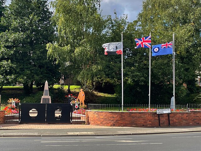
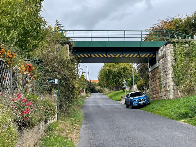
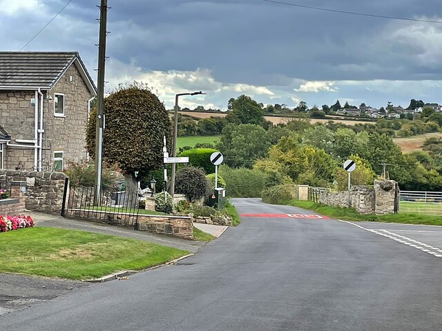
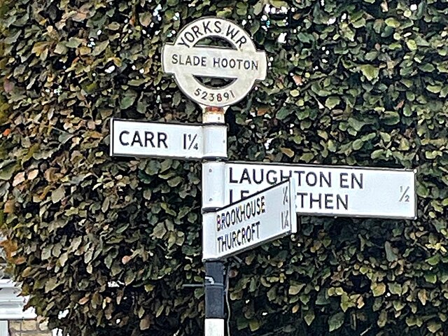
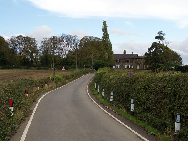
Images are sourced within 2km of 53.4/-1.24 or Grid Reference SK5089. Thanks to Geograph Open Source API. All images are credited.


Thurcroft Hall is located at Grid Ref: SK5089 (Lat: 53.4, Lng: -1.24)
Division: West Riding
What 3 Words
///credited.operating.extensive. Near Hellaby, South Yorkshire
Nearby Locations
Related Wikis
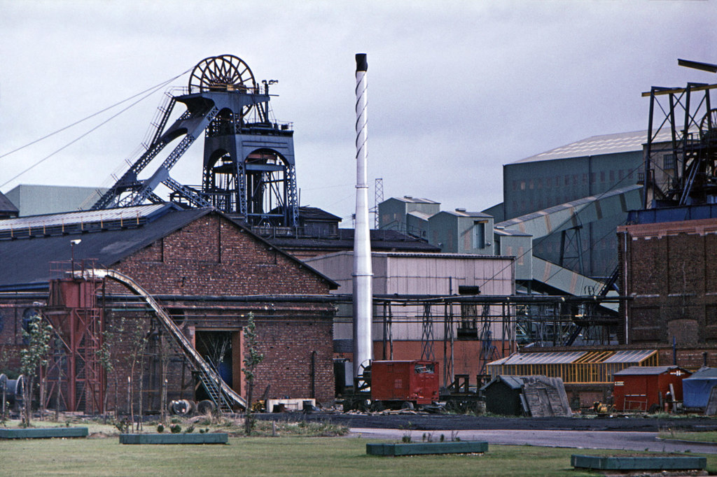
Thurcroft Colliery
Thurcroft Colliery was a coal mine situated in the village of Thurcroft, near Rotherham, South Yorkshire, England. In 1902, the Rother Vale Colliery Company...

Carr, South Yorkshire
Carr is a hamlet in the civil parish of Laughton-en-le-Morthen, in the Rotherham district lying to the south of Rotherham, South Yorkshire, England....
Thurcroft
Thurcroft is a village and civil parish situated south-east of Rotherham in the Metropolitan Borough of Rotherham in South Yorkshire, England. From 1902...

Slade Hooton
Slade Hooton is a hamlet in the Metropolitan Borough of Rotherham, in South Yorkshire, England. Historically in the West Riding of Yorkshire, the hamlet...
Nearby Amenities
Located within 500m of 53.4,-1.24Have you been to Thurcroft Hall?
Leave your review of Thurcroft Hall below (or comments, questions and feedback).