Three Tremblers
Heritage Site in Yorkshire
England
Three Tremblers
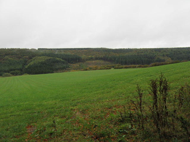
Located in the county of Yorkshire, Three Tremblers is a renowned heritage site that attracts visitors from all over the world. Situated amidst the picturesque landscape of the Yorkshire Dales, this site is famous for its unique geological formation and historical significance.
Three Tremblers gets its name from the three large boulders that are perched precariously on top of one another. These boulders, made of millstone grit, have been naturally balanced for centuries, creating a mesmerizing sight for visitors. The geological formation of Three Tremblers is a result of erosion caused by the elements over millions of years.
Aside from its geological marvel, Three Tremblers holds historical significance as well. It is believed to have been a sacred site for the ancient inhabitants of Yorkshire, serving as a place of worship and gathering. Archaeological evidence, such as ancient tools and pottery, has been discovered in the vicinity, providing insights into the lives of the people who once inhabited the area.
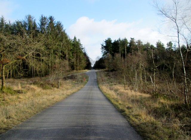
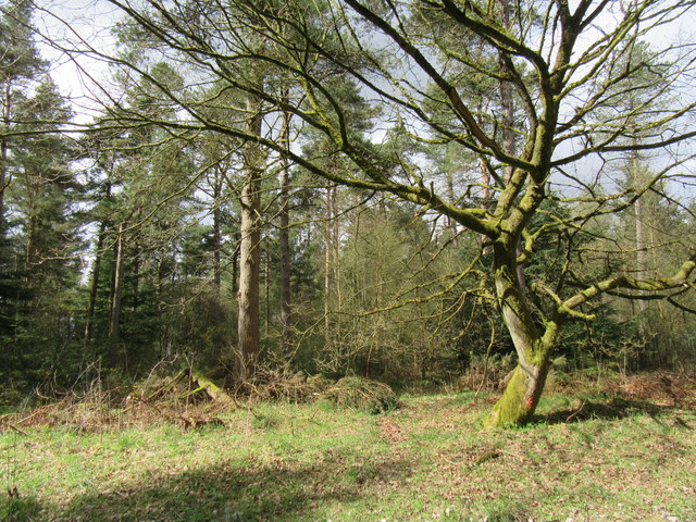
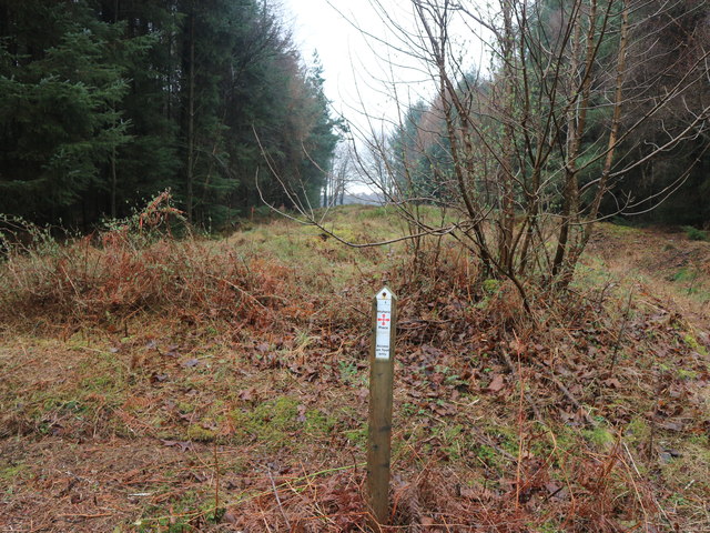
Visitors to Three Tremblers can explore the site through well-maintained walking trails that wind through the surrounding countryside. The site offers stunning panoramic views of the Dales, allowing visitors to immerse themselves in the natural beauty of the region.
To preserve the site's natural and historical value, access to Three Tremblers is carefully controlled, with guided tours available to visitors. These tours provide detailed information about the geological formation, history, and cultural significance of the site, enhancing the visitor experience.
Three Tremblers is a must-visit destination for nature enthusiasts, history buffs, and anyone seeking to appreciate the beauty and heritage of Yorkshire.
If you have any feedback on the listing, please let us know in the comments section below.
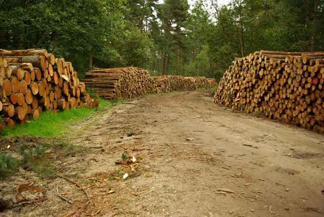
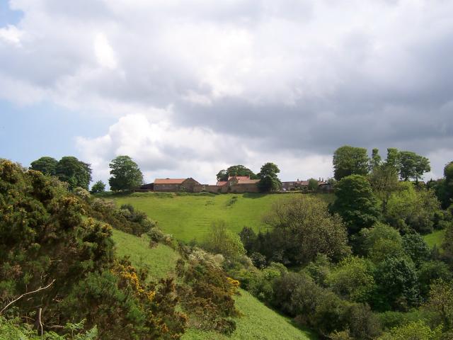
Three Tremblers Images
Images are sourced within 2km of 54.275/-0.563 or Grid Reference SE9387. Thanks to Geograph Open Source API. All images are credited.


Three Tremblers is located at Grid Ref: SE9387 (Lat: 54.275, Lng: -0.563)
Division: North Riding
What 3 Words
///apart.yesterday.brief. Near East Ayton, North Yorkshire
Nearby Locations
Related Wikis
Wykeham Forest
Wykeham Forest is a 2,760-acre (1,115-hectare) woodland 6 miles (9.7 km) in the North York Moors National Park, near to Wykeham, west of Scarborough, England...

Sawdon
Sawdon is a village in the civil parish of Brompton, in North Yorkshire, England, about 8 miles (13 km) west of Scarborough.The village lies 1.75 miles...

Darncombe-cum-Langdale End
Darncombe-cum-Langdale End is a civil parish in the Scarborough district of North Yorkshire, England. According to the 2001 UK census, Darncombe-cum-Langdale...

Broxa-cum-Troutsdale
Broxa-cum-Troutsdale is a civil parish in the Scarborough district of North Yorkshire, England. The population as of the 2011 census remained less than...
Broxa, North Yorkshire
Broxa is a village in the Scarborough district of North Yorkshire, England, within the North York Moors National Park. The village is 6.2 miles (10 km...

Wydale Hall
Wydale Hall is a Christian Conference centre run by the Diocese of York. The house is located near Brompton-by-Sawdon in the foothills of the North York...

Hackness
Hackness is a village and civil parish in the Scarborough district of the county of North Yorkshire, England. It lies within the North York Moors National...

Forge Valley
Forge Valley is a national nature reserve in the Scarborough district of North Yorkshire, England, located within the North York Moors National Park on...
Nearby Amenities
Located within 500m of 54.275,-0.563Have you been to Three Tremblers ?
Leave your review of Three Tremblers below (or comments, questions and feedback).