Bellanrigg

Settlement in Peeblesshire

Scotland

Bellanrigg

Farmland near Barns Edston Hill is beyond, across the Tweed.
Farmland near Barns Credit: Jim Barton

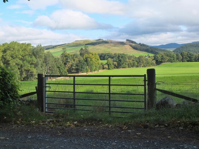
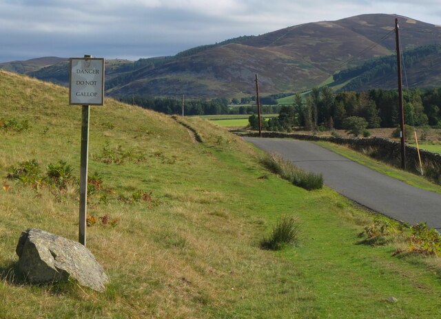
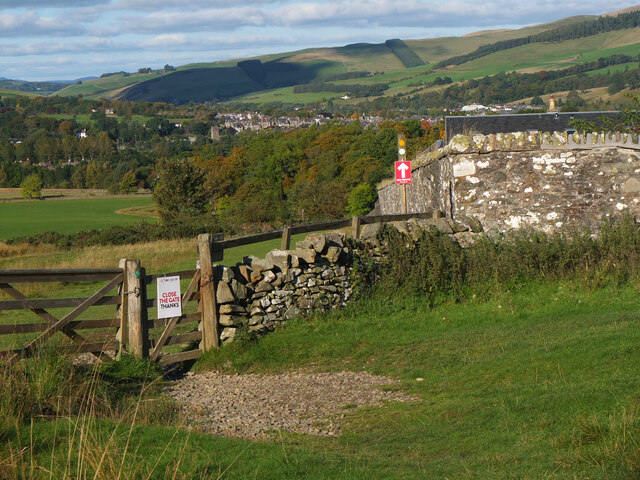
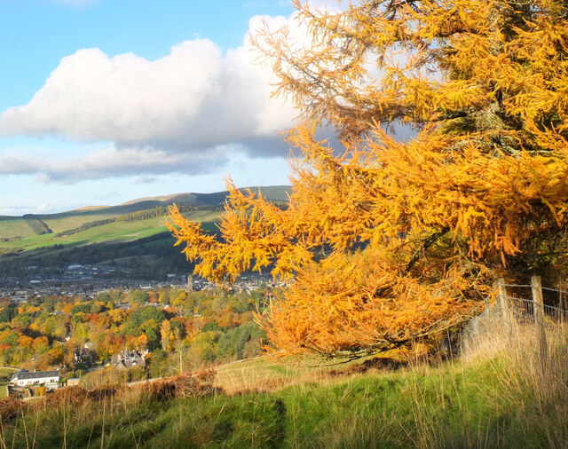
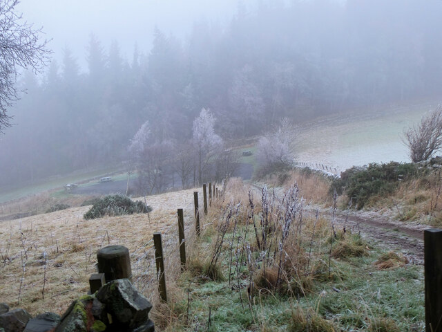
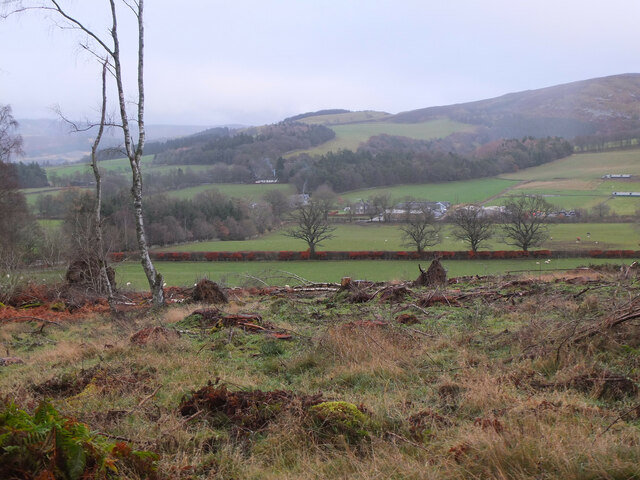
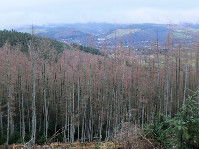
Bellanrigg is a small rural settlement located in the county of Peeblesshire, in the Scottish Borders region of Scotland. Situated approximately 3 miles southeast of the town of Peebles, Bellanrigg is nestled amidst picturesque rolling hills and lush green landscapes.

The village is home to a small population, primarily consisting of local farmers and residents seeking a peaceful countryside lifestyle. Its tranquil setting offers residents and visitors a respite from the hustle and bustle of city life, allowing them to enjoy the beauty of the surrounding nature.

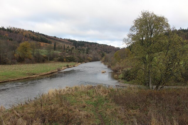
A notable feature of Bellanrigg is its close proximity to the River Tweed, one of Scotland's most renowned salmon fishing rivers. This attracts fishing enthusiasts from all over the country, who come to try their luck at catching the prized Atlantic salmon.

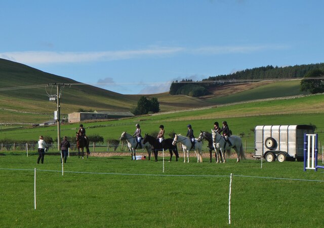
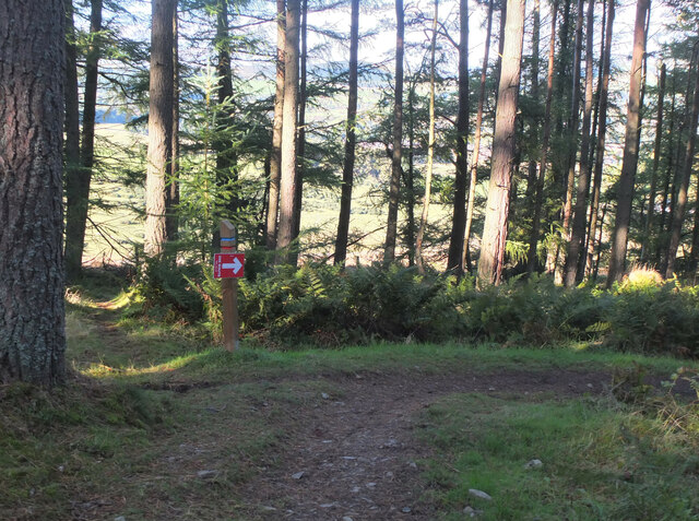
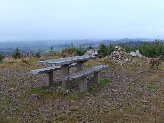
Despite its small size, Bellanrigg benefits from its proximity to Peebles, where residents can access a range of amenities, including shops, restaurants, schools, and healthcare facilities. Additionally, the nearby town offers various recreational activities, such as golf courses, cycling routes, and walking trails, providing further options for leisure and outdoor pursuits.

Bellanrigg showcases the charm of rural Scotland, with its quaint cottages, picturesque landscapes, and a strong sense of community. It offers a peaceful and idyllic living environment, making it an attractive destination for those seeking a serene countryside lifestyle.

If you have any feedback on the listing, please let us know in the comments section below.
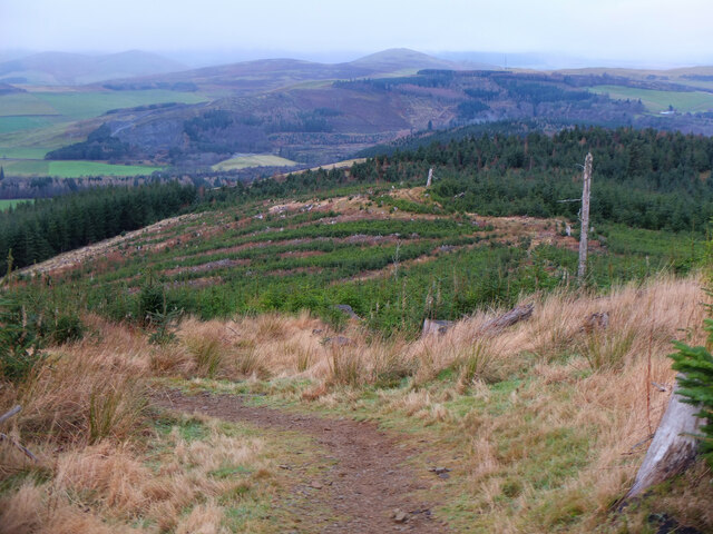
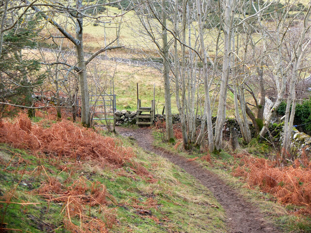
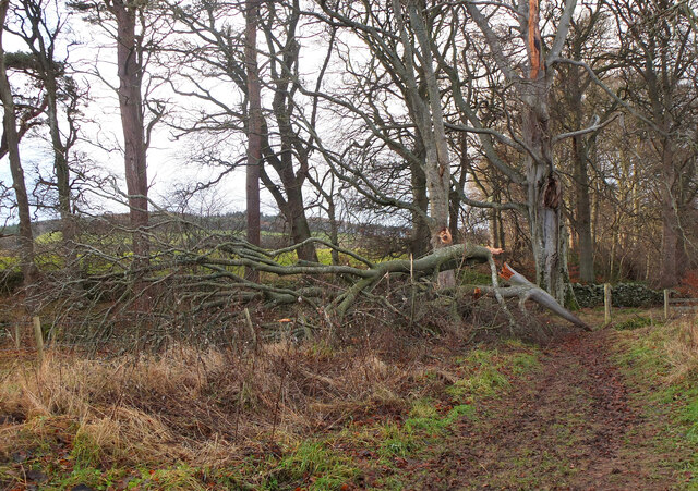
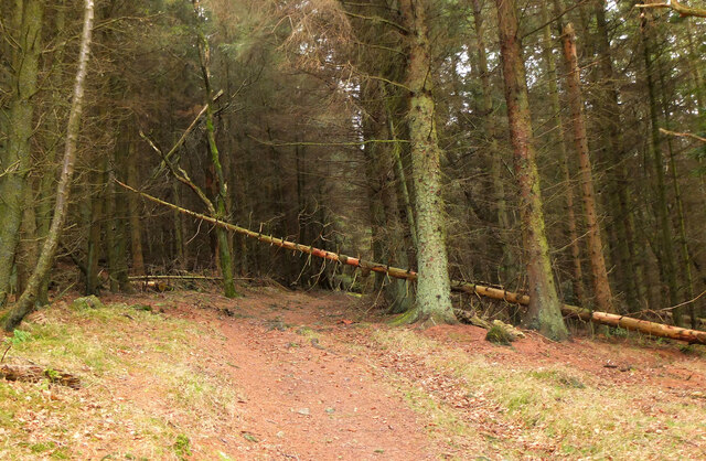
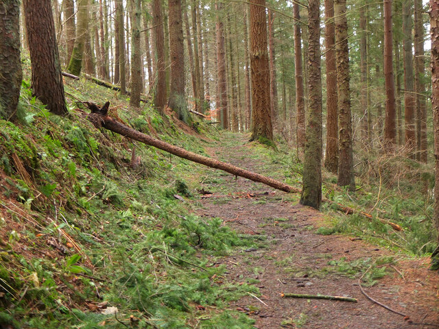
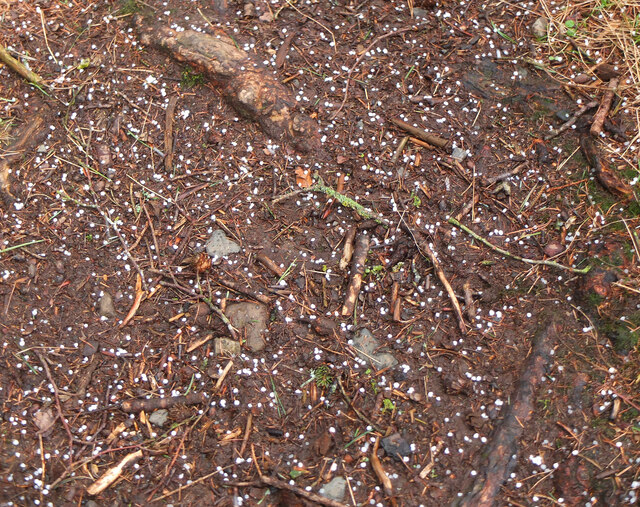
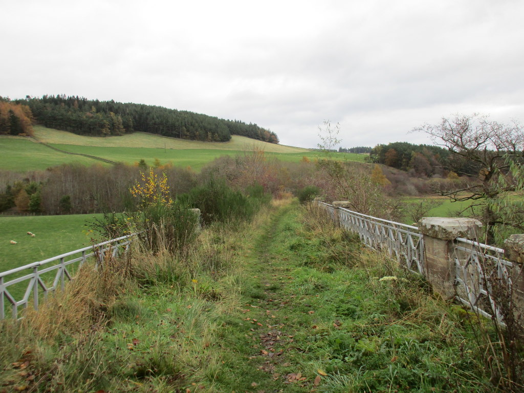
Bellanrigg Images

Images are sourced within 2km of 55.629448/-3.224495 or Grid Reference NT2338. Thanks to Geograph Open Source API. All images are credited.

Farmland near Barns Edston Hill is beyond, across the Tweed.
Farmland near Barns
Edston Hill is beyond, across the Tweed.
Gymkhana at Kirkton Manor Horses and riders at an event at Kirkton.
Gymkhana at Kirkton Manor
Horses and riders at an event at Kirkton.
Advice to horse riders, Cademuir 'Danger Do Not Gallop' on the roadside path near Cademuir farm.
Advice to horse riders, Cademuir
'Danger Do Not Gallop' on the roadside path near Cademuir farm.
Trail run  marker, Cademuir forest A marker for the 20km route in the Tunnel Trail Run to be held on 16th October. The event offers routes of 4, 10 and 20km in length starting and finishing in Hay Lodge Park, Peebles.
Trail run marker, Cademuir forest
A marker for the 20km route in the Tunnel Trail Run to be held on 16th October. The event offers routes of 4, 10 and 20km in length starting and finishing in Hay Lodge Park, Peebles.
Trail run  marker near Tantah A marker on the John Buchan Way for the 20km route in the Tunnel Trail Run to be held on 16th October. The event offers routes of 4, 10 and 20km in length starting and finishing in Hay Lodge Park, Peebles.
Trail run marker near Tantah
A marker on the John Buchan Way for the 20km route in the Tunnel Trail Run to be held on 16th October. The event offers routes of 4, 10 and 20km in length starting and finishing in Hay Lodge Park, Peebles.
Autumnal larch, Cademuir Forest At the edge of the plantation overlooking Peebles.
Autumnal larch, Cademuir Forest
At the edge of the plantation overlooking Peebles.
River Tweed Looking downstream from the Manor Bridge. The Manor Water enters the River Tweed on the right.
River Tweed
Looking downstream from the Manor Bridge. The Manor Water enters the River Tweed on the right.
Frosted trees in Spoon Wood Natural Christmas decorations in woodland above the Manor Water.
Frosted trees in Spoon Wood
Natural Christmas decorations in woodland above the Manor Water.
Freezing fog at Manor Sware Looking from the edge of Spoon Wood down to the car park, unoccupied today.
Freezing fog at Manor Sware
Looking from the edge of Spoon Wood down to the car park, unoccupied today.
Clear-felled woodland, Cademuir The edge of the woodland on the east side of Cademuir has been thinned out. Bonnington farm is in the middle distance.
Clear-felled woodland, Cademuir
The edge of the woodland on the east side of Cademuir has been thinned out. Bonnington farm is in the middle distance.
Larch in Cademuir Forest Larch in winter on slopes NE of the summit. Cloud base is about 400m across the valley in Glentress Forest.
Larch in Cademuir Forest
Larch in winter on slopes NE of the summit. Cloud base is about 400m across the valley in Glentress Forest.
Summit of Cademuir The picnic table by the cairn at 416m, now easily reached by the paths opened in 2017. Compare the growth of the new plantation with the view in <a href="https://www.geograph.org.uk/photo/5336581">NT2437 : Picnic table at Cademuir summit</a> taken in 2017 when the summit was clear-felled.
Summit of Cademuir
The picnic table by the cairn at 416m, now easily reached by the paths opened in 2017. Compare the growth of the new plantation with the view in NT2437 : Picnic table at Cademuir summit taken in 2017 when the summit was clear-felled.
Re-growth on Cademuir The clear-felled summit area has been replanted and new growth is now very evident. The conical hill in the distance is White Meldon.
Re-growth on Cademuir
The clear-felled summit area has been replanted and new growth is now very evident. The conical hill in the distance is White Meldon.
Stile and gate near Tantah A path from the Cademuir woodland to the John Buchan Way, taken on a dry, occasionally sunny Christmas Day with a rather chilly SE wind.
Stile and gate near Tantah
A path from the Cademuir woodland to the John Buchan Way, taken on a dry, occasionally sunny Christmas Day with a rather chilly SE wind.
Fallen tree by the Tweed A recently fallen tree, likely to have been brought down in Storm Arwen (26-27 November 2021). The riverside path is still open however.
Fallen tree by the Tweed
A recently fallen tree, likely to have been brought down in Storm Arwen (26-27 November 2021). The riverside path is still open however.
Fallen tree, Manor Sware A tree down near the edge of Spoon Wood, another casualty of Storm Arwen.
Fallen tree, Manor Sware
A tree down near the edge of Spoon Wood, another casualty of Storm Arwen.
Fallen tree in South Park Wood One of several trees down plus debris of small branches after recent winds (Storms Arwen and Dudley) in the plantation south of the Tweed at Neidpath.
Fallen tree in South Park Wood
One of several trees down plus debris of small branches after recent winds (Storms Arwen and Dudley) in the plantation south of the Tweed at Neidpath.
Soft hail in South Park Wood A form of frozen precipitation known as soft hail or graupel - small opaque pellets a few mm across, unlike the usual hailstones which are denser and harder that fall faster. This fell from a shower cloud moving southeastwards.

See also <a href="https://www.geograph.org.uk/photo/6800210">NT2540 : Venlaw Woods after a wintry shower</a> showing a wider covering of soft hail.
Soft hail in South Park Wood
A form of frozen precipitation known as soft hail or graupel - small opaque pellets a few mm across, unlike the usual hailstones which are denser and harder that fall faster. This fell from a shower cloud moving southeastwards. See also NT2540 : Venlaw Woods after a wintry shower showing a wider covering of soft hail.
Show me another place!

Bellanrigg is located at Grid Ref: NT2338 (Lat: 55.629448, Lng: -3.224495)

Unitary Authority: The Scottish Borders

Police Authority: The Lothians and Scottish Borders

What 3 Words

///trucked.dolly.owls. Near Peebles, Scottish Borders

Nearby Locations

Bellanrigg

Related Wikis

Manor Water

Manor Water is a river in the parish of Manor, Peeblesshire in the Scottish Borders. It rises in the Ettrick Forest and flows down through the Maynor valley...

Manor, Scottish Borders

Manor is a parish in Peeblesshire in the Scottish Borders, whose church lies on the west bank of Manor Water 3 miles south-west of Peebles.The parish...

John Buchan Way

The John Buchan Way is a walking route from Peebles to Broughton in the Scottish Borders, a distance of approximately 22 km (13 miles). The route is waymarked...

Neidpath Viaduct

Neidpath Viaduct, occasionally known as the Queen's Bridge, consists of eight stone skew arches and was built to carry the Symington to Peebles branch...

Neidpath Castle

Neidpath Castle is an L-plan rubble-built tower house, overlooking the River Tweed about 1 mile (1.6 km) west of Peebles in the Borders of Scotland. The...

Peebles High School, Peeblesshire

Peebles High School is a state run comprehensive school for girls and boys aged 12–18 located in Peebles in the Scottish Borders. It was originally named...
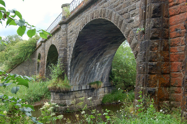
Lyne Viaduct

Lyne Viaduct is a viaduct at Lyne in the Scottish Borders of Scotland. It consists of three stone skew arches and a plate girder approach span over a minor...

Lyne railway station

Lyne railway station served the village of Lyne, Scottish Borders, Scotland from 1864 to 1950 on the Symington, Biggar and Broughton Railway. == History... ==

Nearby Amenities

Located within 500m of 55.629448,-3.224495
Power: pole
Lat/Long: 55.6300293/-3.2320555
Power: pole
Lat/Long: 55.6303326/-3.2310507
Power: pole
Lat/Long: 55.6307804/-3.2295721
Power: pole
Lat/Long: 55.6311888/-3.2282436
Power: pole
Lat/Long: 55.6315853/-3.226947
Power: pole
Lat/Long: 55.6319662/-3.2257053
Power: pole
Lat/Long: 55.632291/-3.2246476
Power: pole
Lat/Long: 55.6329859/-3.2223609
Power: pole
Lat/Long: 55.6326954/-3.2233169
Power: pole
Lat/Long: 55.6334122/-3.2234567
Power: pole
Lat/Long: 55.6333394/-3.2211594
The data included in this document is from www.openstreetmap.org. The data is made available under ODbL.

Have you been to Bellanrigg?

Leave your review of Bellanrigg below (or comments, questions and feedback).