Bellanoch
Settlement in Argyllshire
Scotland
Bellanoch

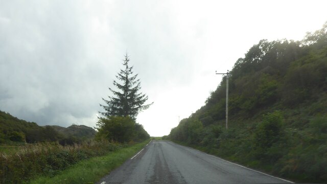
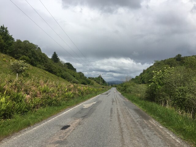
Bellanoch is a small village located in the historical county of Argyllshire, on the west coast of Scotland. Situated along the A816 road, this rural settlement lies about 15 miles south of the town of Oban and is surrounded by picturesque landscapes.
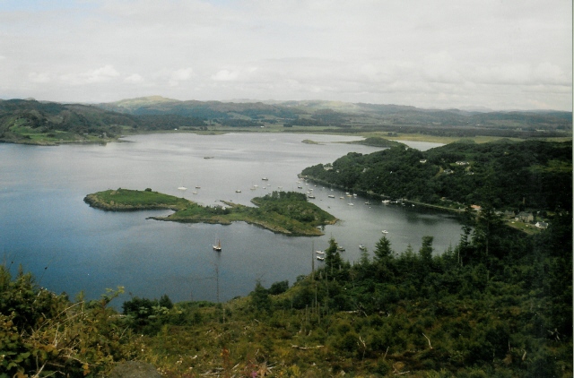
Bellanoch is known for its tranquil and idyllic setting, nestled on the banks of the Crinan Canal. The canal, which connects the Sound of Jura to Loch Fyne, attracts tourists who come to explore the beautiful waterway and enjoy activities such as boating and fishing.
The village itself is relatively small, with a population of around 100 people. There are a few residential houses, a local pub, and a small convenience store that cater to the needs of both residents and visitors. The nearby Crinan Hotel offers accommodation and dining options for those seeking a longer stay.
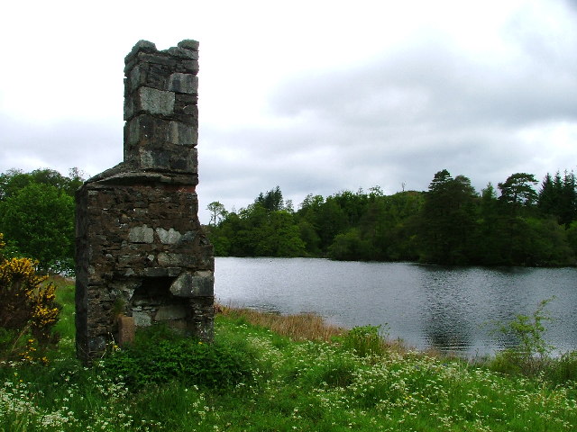
Nature enthusiasts are drawn to Bellanoch due to its close proximity to the stunning Argyll Forest Park. This vast expanse of woodland, mountains, and lochs provides ample opportunities for hiking, wildlife spotting, and camping. Additionally, the nearby Kilmartin Glen is renowned for its ancient historical sites, including standing stones, burial cairns, and rock carvings, which attract archaeology enthusiasts.
Bellanoch offers a peaceful escape from the hustle and bustle of city life, allowing visitors to immerse themselves in the natural beauty of the Argyllshire countryside while exploring its rich history and heritage.
If you have any feedback on the listing, please let us know in the comments section below.
Bellanoch Images
Images are sourced within 2km of 56.075227/-5.536586 or Grid Reference NR8092. Thanks to Geograph Open Source API. All images are credited.


Bellanoch is located at Grid Ref: NR8092 (Lat: 56.075227, Lng: -5.536586)
Unitary Authority: Argyll and Bute
Police Authority: Argyll and West Dunbartonshire
What 3 Words
///skylights.smothered.linen. Near Lochgilphead, Argyll & Bute
Nearby Locations
Related Wikis
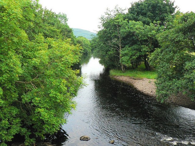
River Add
The River Add (Scottish Gaelic: Abhainn Àd) is a river which runs through Argyll and Bute on the West of Scotland. Historically, it was known as the river...

Crinan, Argyll
Crinan (Scottish Gaelic: An Crìonan) is a small village located on the west coast of Scotland in the region known as Knapdale, which is part of Argyll...
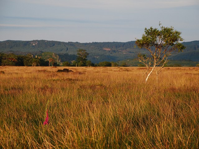
Moine Mhòr
Moine Mhòr ("Great Moss" in Scottish Gaelic) encompasses a large area of raised bog in the Kilmartin Glen area of Argyll and Bute, Scotland. As well as...
Loch Crinan
Loch Crinan is a seawater loch on the West of Scotland, leading into the Sound of Jura and being the western end of the Crinan Canal. The village of Crinan...
Eilean dà Mhèinn
Eilean dà Mhèinn, is a small inhabited island in Loch Crinan and one of the Inner Hebrides of Scotland. It is about 100 metres (330 ft) to the west of...
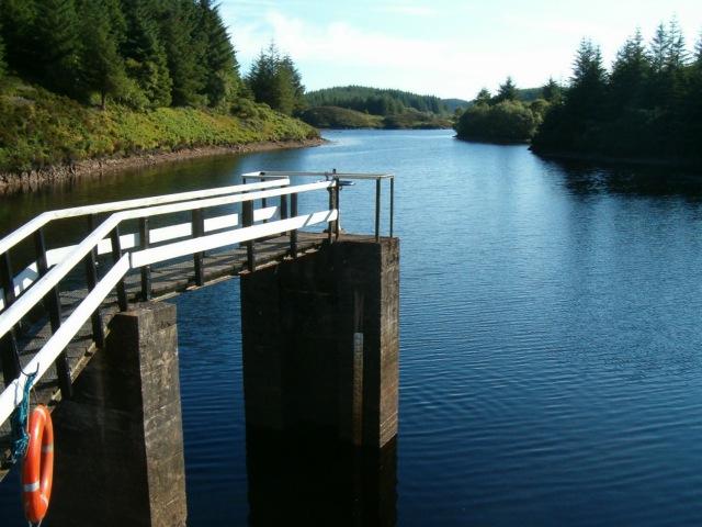
Loch A' Bharain
Loch A' Bharain (the Baron's Loch) is an impounding reservoir in Scotland. Loch A' Bharain directly sits on the north bank of the Crinan Canal beside lock...
Daill Loch
Daill Loch is an impounding reservoir located 5 kilometres (3.1 mi) west north west of Lochgilphead and 1.5 kilometres (0.93 mi) south of the Crinan Canal...

Duntrune Castle
Duntrune Castle is located on the north side of Loch Crinan and across from the village of Crinan in Argyll, Scotland. It is thought to be the oldest continuously...
Nearby Amenities
Located within 500m of 56.075227,-5.536586Have you been to Bellanoch?
Leave your review of Bellanoch below (or comments, questions and feedback).