Thorington covenants

Heritage Site in Suffolk

England

Thorington covenants

View from Essex Way; Langham
View from Essex Way; Langham Credit: Mr James D

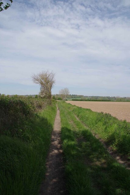
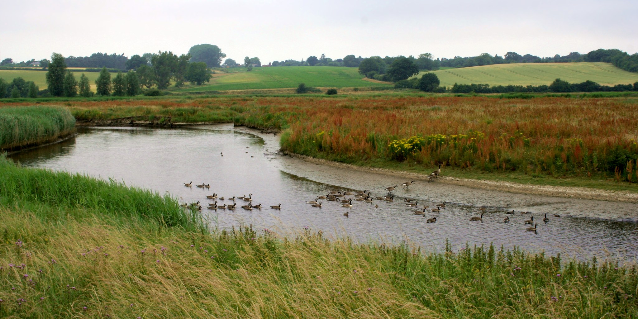
The Thorington covenants, Suffolk, is a significant heritage site located in the eastern region of England. Situated in the picturesque countryside of Suffolk, this site comprises a collection of medieval churches that have been remarkably preserved over the centuries. These churches, dating back to the 14th and 15th centuries, are renowned for their architectural beauty and historical significance.

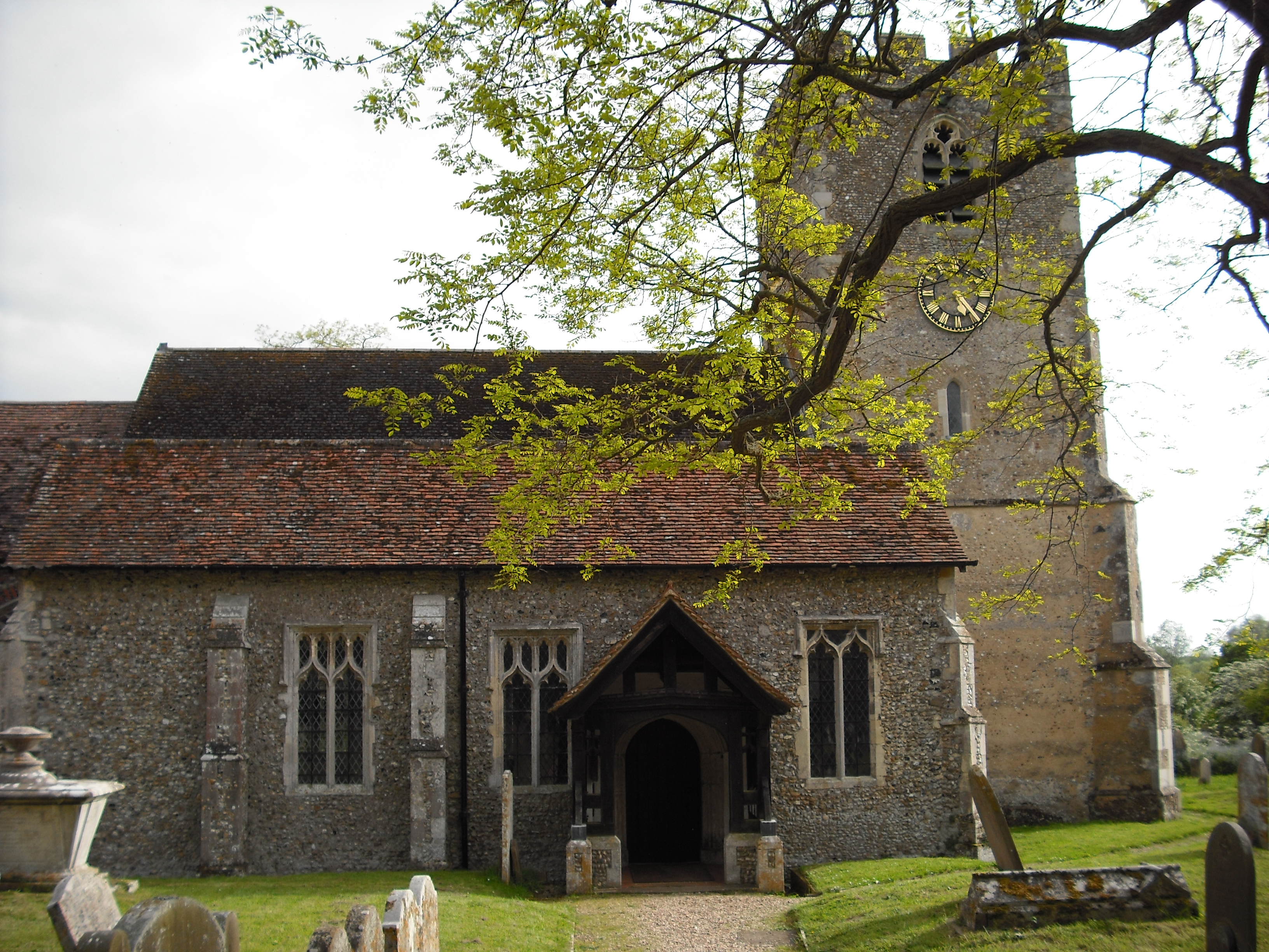
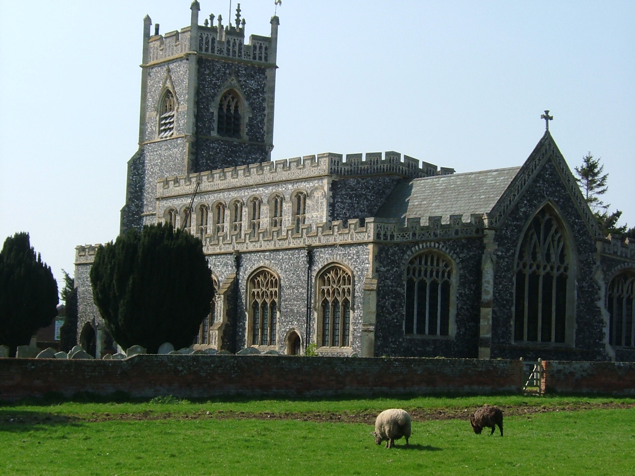
The Thorington covenants consist of three churches: St Mary's Church, St Leonard's Church, and St Peter's Church, all of which are situated within close proximity of each other. Each church exhibits distinctive architectural styles and features, showcasing the evolution of ecclesiastical design during the medieval period.

St Mary's Church, the oldest of the three, showcases a classic Norman style with its sturdy square tower and rounded arches. St Leonard's Church, on the other hand, boasts an exquisite example of Perpendicular Gothic architecture, characterized by its lofty nave and slender columns. Lastly, St Peter's Church displays a unique blend of architectural styles, featuring a mix of Norman, Early English, and Decorated Gothic elements.

These churches are not only remarkable for their architectural splendor but also for their historical significance. They have witnessed centuries of religious worship and have played an integral role in the local community. The Thorington covenants are a testament to the rich cultural heritage of Suffolk and serve as an important reminder of the region's medieval past.

If you have any feedback on the listing, please let us know in the comments section below.

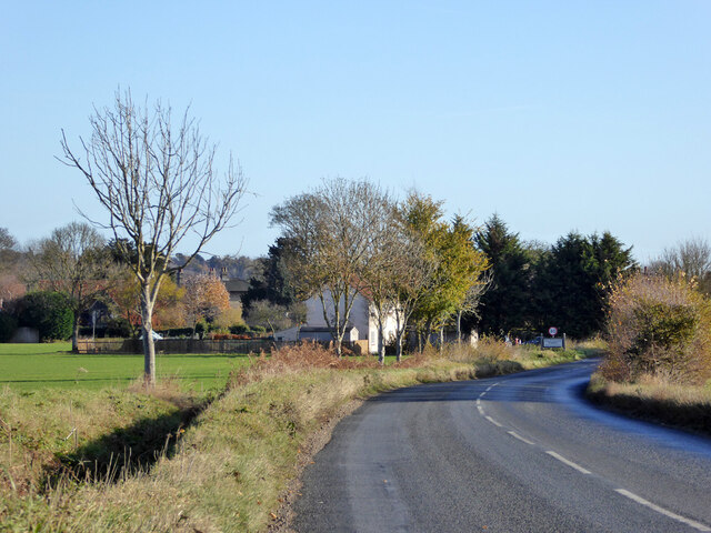
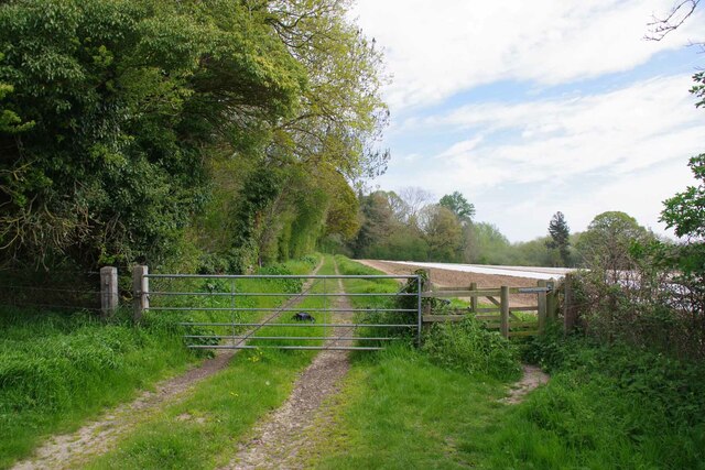
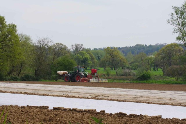
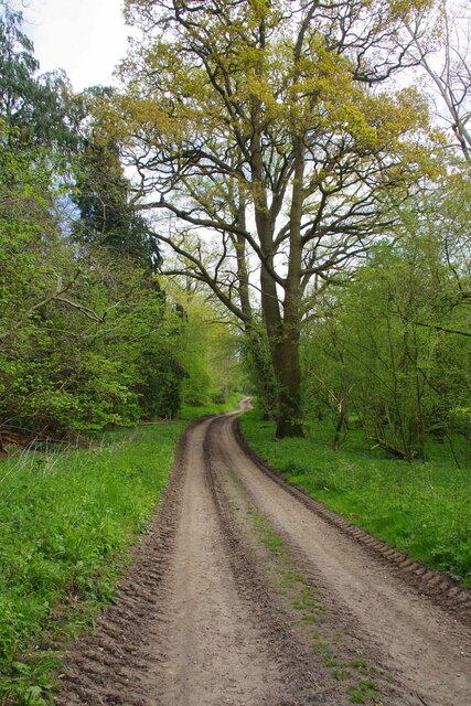
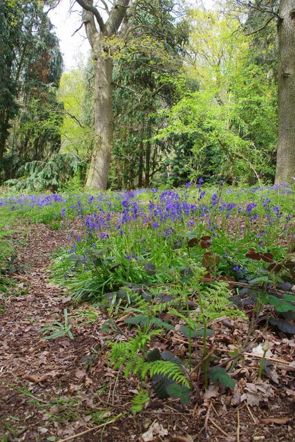
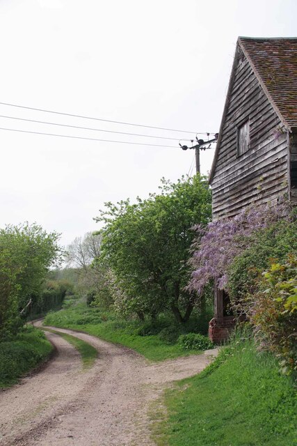
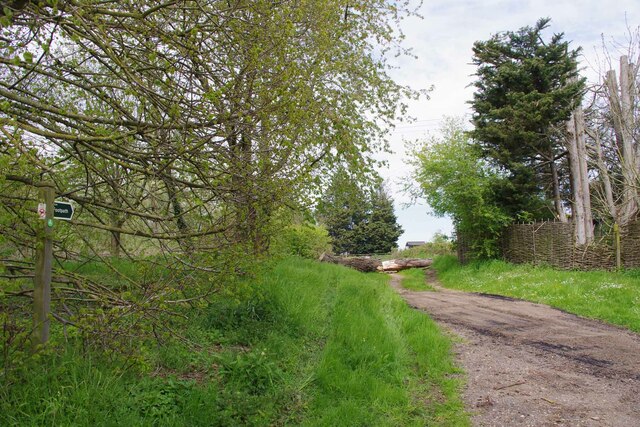
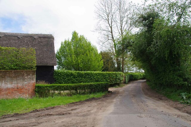
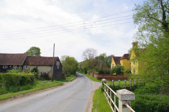
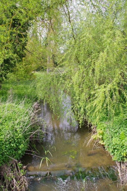
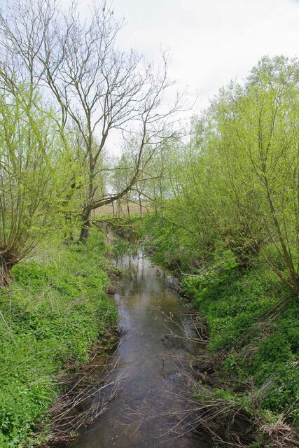
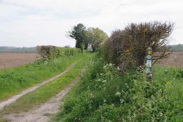
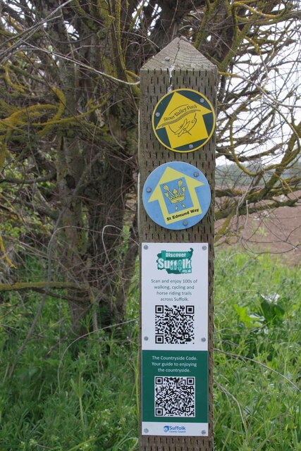
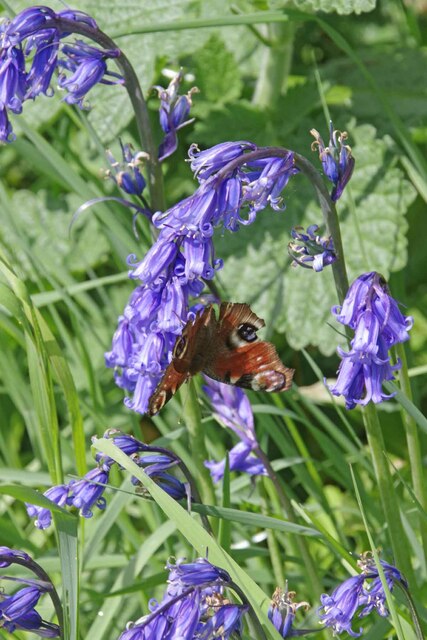
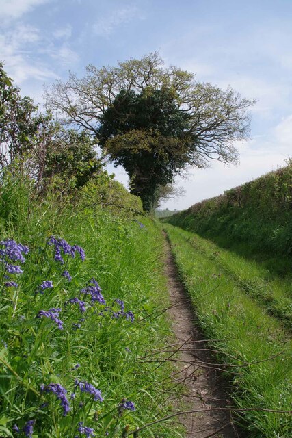
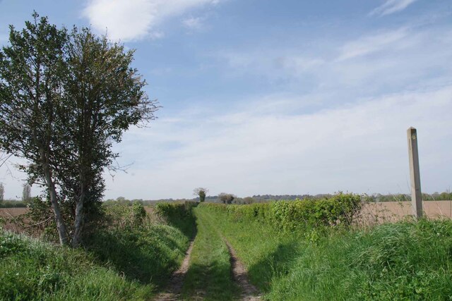
Thorington covenants Images

Images are sourced within 2km of 51.977/0.94 or Grid Reference TM0235. Thanks to Geograph Open Source API. All images are credited.

View from Essex Way; Langham
B1068 towards Thorington Street
Gate on The Tendring Hall Farm Path To the left there was a harrowed field covered with plastic.
Gate on The Tendring Hall Farm Path
To the left there was a harrowed field covered with plastic.
Modern Farming at Tendring Hall Lots of agrichemicals and plastic.
Modern Farming at Tendring Hall
Lots of agrichemicals and plastic.
Path Through Pickess Grove A public footpath through the Tendring Hall Estate.
Path Through Pickess Grove
A public footpath through the Tendring Hall Estate.
Native Bluebells in Pickess Grove My nose alone told me these were <a href="https://www.geograph.org.uk/photo/422951">TM0722 : Hyacinthoides non-scripta</a> in a private wood (taken from the footpath).
Native Bluebells in Pickess Grove
My nose alone told me these were TM0722 : Hyacinthoides non-scripta in a private wood (taken from the footpath).
Old Barn at Grove Farm An ancient barn at the other end of the <a href="https://www.geograph.org.uk/photo/7476656">TL9835 : Footpath to Tendring Hall Farm</a>
Old Barn at Grove Farm
An ancient barn at the other end of the TL9835 : Footpath to Tendring Hall Farm
Footpath at Wick Farm The footpath to Thorington Street. Vehicular access is blocked by heavy logs.
Footpath at Wick Farm
The footpath to Thorington Street. Vehicular access is blocked by heavy logs.
Wick Road at Wick Farm Taken from the <a href="https://www.geograph.org.uk/photo/7476841">TM0134 : Footpath at Wick Farm</a>.
Wick Road at Wick Farm
The Studio and Thorington Hall Should you wish you can stay at the National Trust property on the right see <span class="nowrap"><a title="https://www.nationaltrust.org.uk/holidays/suffolk/thorington-hall" rel="nofollow ugc noopener" href="https://www.nationaltrust.org.uk/holidays/suffolk/thorington-hall">Link</a><img style="margin-left:2px;" alt="External link" title="External link - shift click to open in new window" src="https://s1.geograph.org.uk/img/external.png" width="10" height="10"/></span>.
The Studio and Thorington Hall
Should you wish you can stay at the National Trust property on the right see LinkExternal link.
River Box in Thorington Street Looking upstream on this tributary to the River Stour.
River Box in Thorington Street
Looking upstream on this tributary to the River Stour.
Downstream on the River Box You can also see upstream at <a href="https://www.geograph.org.uk/photo/7476854">TM0135 : River Box in Thorington Street</a>.
Downstream on the River Box
You can also see upstream at TM0135 : River Box in Thorington Street.
Langham Mill Lane This is a route with unspecified public access. It is part of the St Edmund Way and Stour Valley Path see <a href="https://www.geograph.org.uk/photo/7476871">TM0135 : St Edmund & Stour Valley Waymarks</a>.
Langham Mill Lane
This is a route with unspecified public access. It is part of the St Edmund Way and Stour Valley Path see TM0135 : St Edmund & Stour Valley Waymarks.
St Edmund & Stour Valley Waymarks Showing the way on the long distance paths. The QR codes still work on geograph!
St Edmund & Stour Valley Waymarks
Showing the way on the long distance paths. The QR codes still work on geograph!
Peacock on Bluebells A rather aged looking Peacock on <a href="https://www.geograph.org.uk/photo/7476911">TM0235 : Langham Mill Lane</a> I am sure the bluebells were native <a href="https://www.geograph.org.uk/photo/422951">TM0722 : Hyacinthoides non-scripta</a>
Peacock on Bluebells
A rather aged looking Peacock on TM0235 : Langham Mill Lane I am sure the bluebells were native TM0722 : Hyacinthoides non-scripta
Langham Mill Lane The track has unspecified public access. See also <a href="https://www.geograph.org.uk/photo/7476895">TM0235 : Peacock on Bluebells</a>
Langham Mill Lane
The track has unspecified public access. See also TM0235 : Peacock on Bluebells
Stour Valley Path and St Edmund Way Looking back along Langham Mill Lane.
Stour Valley Path and St Edmund Way
Looking back along Langham Mill Lane.
St Edmund Way and Stour Valley Path Looking back along Langham Mill Lane
St Edmund Way and Stour Valley Path
Looking back along Langham Mill Lane
Show me another place!

Thorington covenants is located at Grid Ref: TM0235 (Lat: 51.977, Lng: 0.94)

What 3 Words

///stole.skillet.recoup. Near Boxted, Essex

Nearby Locations

Thorington covenants

Related Wikis

Dedham Vale

Dedham Vale is a designated Area of Outstanding Natural Beauty on the Essex-Suffolk border in east England. It comprises the area around the River Stour...

Thorington Street

Thorington Street is a large hamlet on the B1068 road, in the Babergh district, in the English county of Suffolk. The hamlet is part of the civil parish...

River Box

The River Box is a small river, 14 miles (23 km) in length, that flows through Suffolk, England. It is a tributary of the River Stour. == Toponymy == The...

River Brett

The River Brett is a river in Suffolk, England. Its source is in the villages to the north of Lavenham and it flows through Hadleigh to its confluence...

Higham, Babergh

Higham is a village and civil parish in Suffolk, England. Located on the eastern bank of the River Brett (which defines the parish's western boundary)...

Stratford St. Mary

Stratford St. Mary is a village in Suffolk, England in the heart of 'Constable Country'. John Constable painted a number of paintings in and around Stratford...

Withermarsh Green

Withermarsh Green is a village in the civil parish of Stoke-by-Nayland, in the Babergh district, in the county of Suffolk, England. It is located near...

Giffords Hall, Stoke-by-Nayland

Giffords Hall (also called Gifford's Hall) is a Tudor manor house near Stoke-by-Nayland in Suffolk, England. It was described by Nikolaus Pevsner as “one...

Nearby Amenities

Located within 500m of 51.977,0.94
The data included in this document is from www.openstreetmap.org. The data is made available under ODbL.

Have you been to Thorington covenants?

Leave your review of Thorington covenants below (or comments, questions and feedback).