Thorington Hall & Studio

Heritage Site in Suffolk Babergh

England

Thorington Hall & Studio

B1068 towards Thorington Street
B1068 towards Thorington Street Credit: Robin Webster

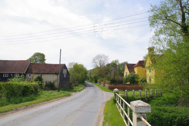
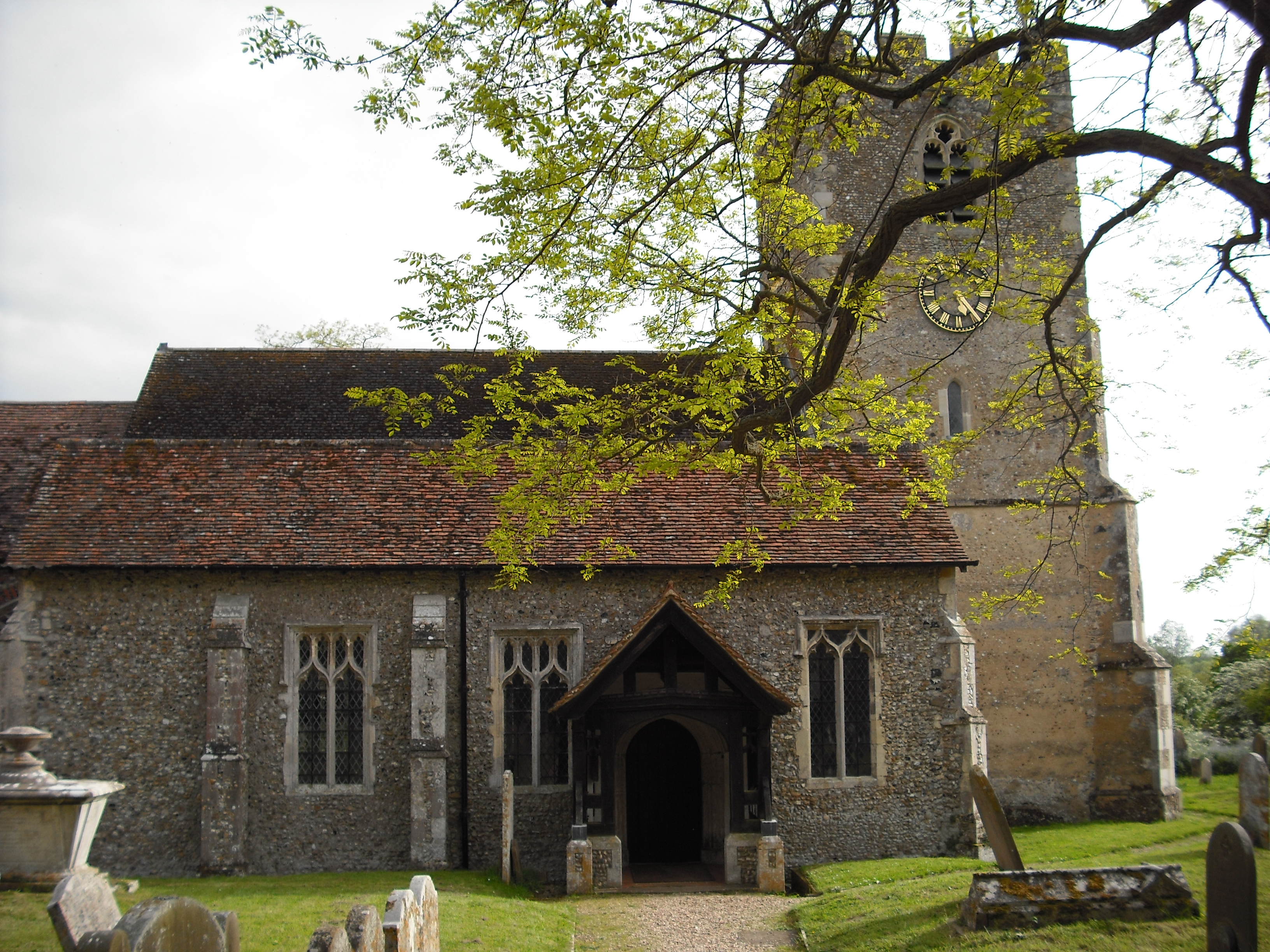
Thorington Hall & Studio is a remarkable heritage site located in Suffolk, England. The hall, dating back to the 16th century, is a Grade II* listed building that showcases stunning architectural features and historical significance. It stands as a testament to the region's rich heritage and is a key attraction for history enthusiasts and architecture aficionados alike.

The hall's exterior features a combination of red brick and timber framing, giving it a distinct Tudor style. Its grand entrance, adorned with intricate carvings and a striking oak door, provides a glimpse into the splendor of the past. Inside, visitors are greeted by a magnificent oak staircase, which leads to beautifully decorated rooms that have been meticulously preserved over the centuries.

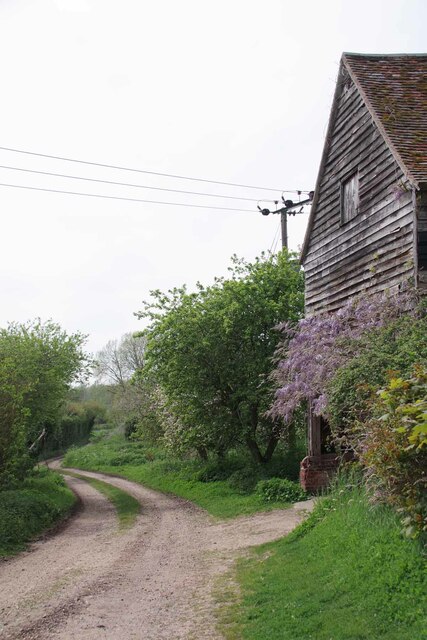
Adjacent to the hall is the studio, a more recent addition to the site. Built in the early 20th century, it was originally used as an artist's studio and still retains its artistic charm. The studio's large windows allow natural light to flood in, creating an inspiring space for creativity.

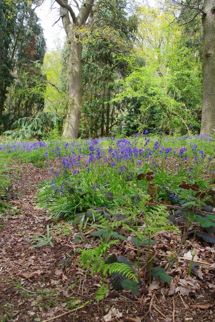
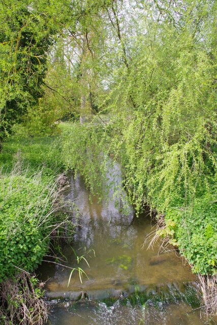
Surrounding the hall and studio are picturesque gardens, offering visitors a tranquil retreat. The gardens are meticulously landscaped and feature well-manicured lawns, flower beds bursting with vibrant blooms, and serene water features. They provide an idyllic setting for leisurely walks or picnics.

Thorington Hall & Studio is not only a visual delight but also a place of historical significance. Its rich past and architectural grandeur make it a must-visit destination for those seeking to immerse themselves in the heritage of Suffolk.

If you have any feedback on the listing, please let us know in the comments section below.

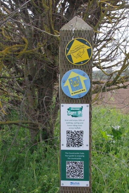
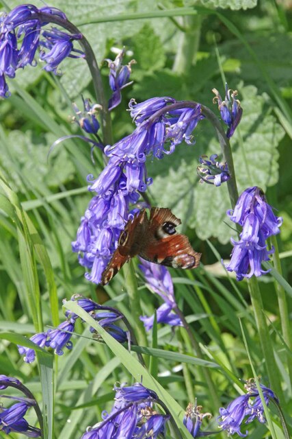
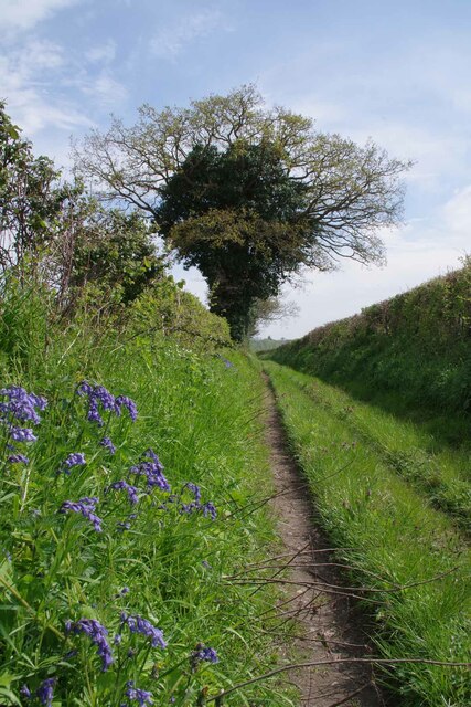
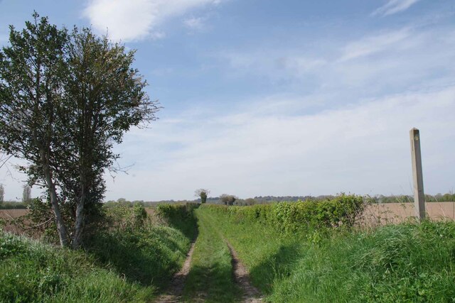
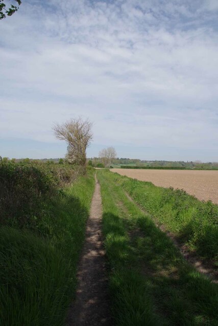
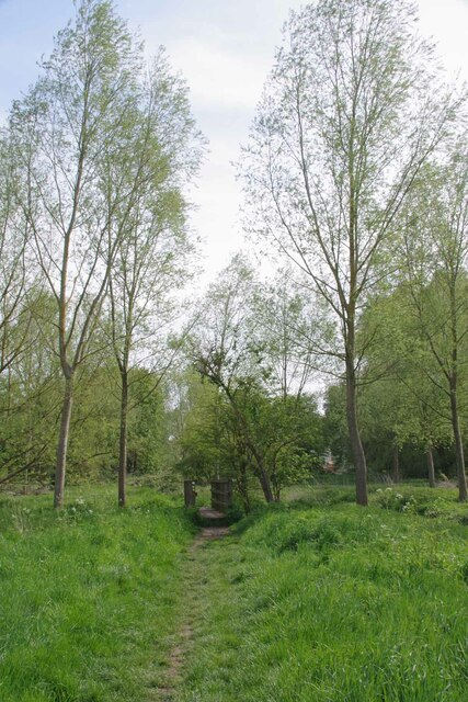
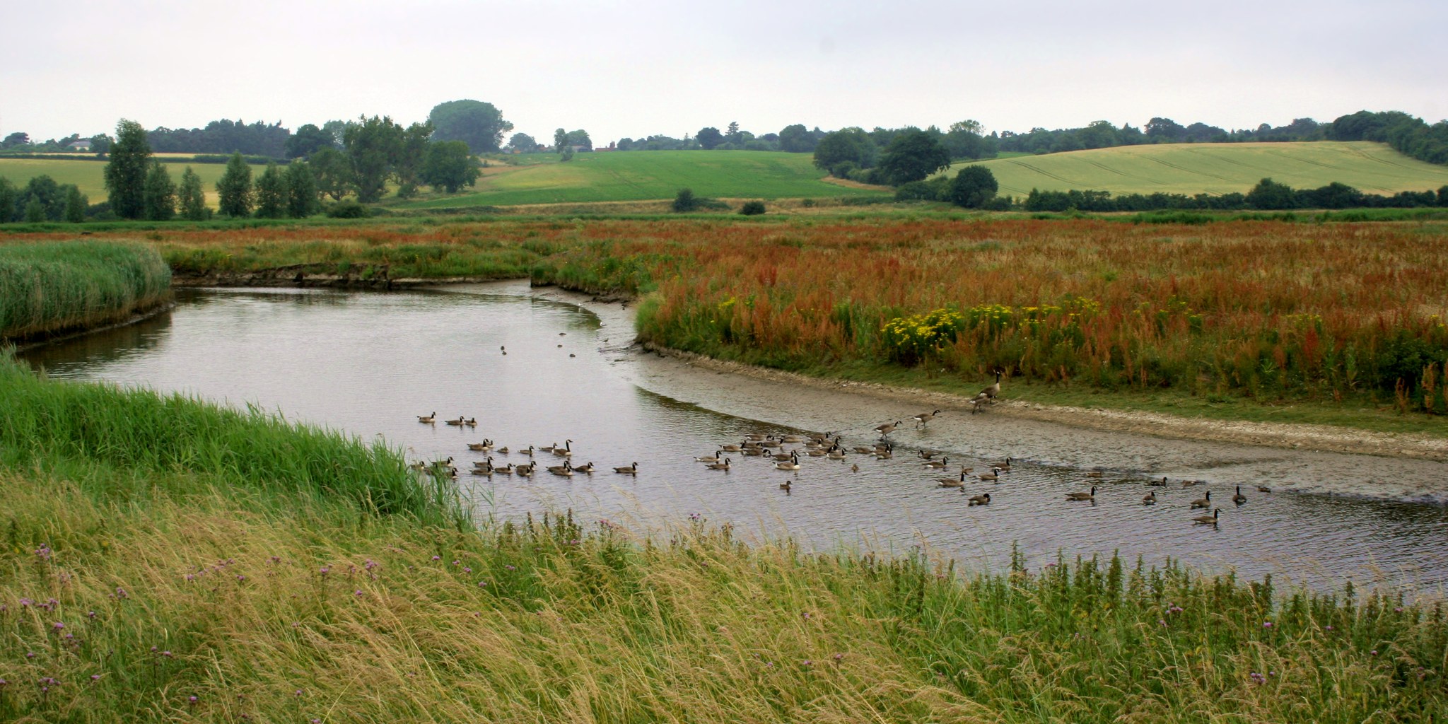
Thorington Hall & Studio Images

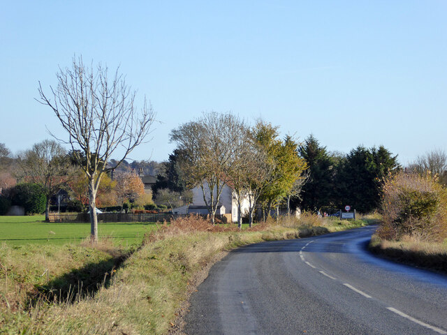
Images are sourced within 2km of 51.981/0.93 or Grid Reference TM0135. Thanks to Geograph Open Source API. All images are credited.

B1068 towards Thorington Street
Gate on The Tendring Hall Farm Path To the left there was a harrowed field covered with plastic.
Gate on The Tendring Hall Farm Path
To the left there was a harrowed field covered with plastic.
Modern Farming at Tendring Hall Lots of agrichemicals and plastic.
Modern Farming at Tendring Hall
Lots of agrichemicals and plastic.
Path Through Pickess Grove A public footpath through the Tendring Hall Estate.
Path Through Pickess Grove
A public footpath through the Tendring Hall Estate.
Native Bluebells in Pickess Grove My nose alone told me these were <a href="https://www.geograph.org.uk/photo/422951">TM0722 : Hyacinthoides non-scripta</a> in a private wood (taken from the footpath).
Native Bluebells in Pickess Grove
My nose alone told me these were TM0722 : Hyacinthoides non-scripta in a private wood (taken from the footpath).
Old Barn at Grove Farm An ancient barn at the other end of the <a href="https://www.geograph.org.uk/photo/7476656">TL9835 : Footpath to Tendring Hall Farm</a>
Old Barn at Grove Farm
An ancient barn at the other end of the TL9835 : Footpath to Tendring Hall Farm
Footpath at Wick Farm The footpath to Thorington Street. Vehicular access is blocked by heavy logs.
Footpath at Wick Farm
The footpath to Thorington Street. Vehicular access is blocked by heavy logs.
Wick Road at Wick Farm Taken from the <a href="https://www.geograph.org.uk/photo/7476841">TM0134 : Footpath at Wick Farm</a>.
Wick Road at Wick Farm
The Studio and Thorington Hall Should you wish you can stay at the National Trust property on the right see <span class="nowrap"><a title="https://www.nationaltrust.org.uk/holidays/suffolk/thorington-hall" rel="nofollow ugc noopener" href="https://www.nationaltrust.org.uk/holidays/suffolk/thorington-hall">Link</a><img style="margin-left:2px;" alt="External link" title="External link - shift click to open in new window" src="https://s1.geograph.org.uk/img/external.png" width="10" height="10"/></span>.
The Studio and Thorington Hall
Should you wish you can stay at the National Trust property on the right see LinkExternal link.
River Box in Thorington Street Looking upstream on this tributary to the River Stour.
River Box in Thorington Street
Looking upstream on this tributary to the River Stour.
Downstream on the River Box You can also see upstream at <a href="https://www.geograph.org.uk/photo/7476854">TM0135 : River Box in Thorington Street</a>.
Downstream on the River Box
You can also see upstream at TM0135 : River Box in Thorington Street.
Langham Mill Lane This is a route with unspecified public access. It is part of the St Edmund Way and Stour Valley Path see <a href="https://www.geograph.org.uk/photo/7476871">TM0135 : St Edmund & Stour Valley Waymarks</a>.
Langham Mill Lane
This is a route with unspecified public access. It is part of the St Edmund Way and Stour Valley Path see TM0135 : St Edmund & Stour Valley Waymarks.
St Edmund & Stour Valley Waymarks Showing the way on the long distance paths. The QR codes still work on geograph!
St Edmund & Stour Valley Waymarks
Showing the way on the long distance paths. The QR codes still work on geograph!
Peacock on Bluebells A rather aged looking Peacock on <a href="https://www.geograph.org.uk/photo/7476911">TM0235 : Langham Mill Lane</a> I am sure the bluebells were native <a href="https://www.geograph.org.uk/photo/422951">TM0722 : Hyacinthoides non-scripta</a>
Peacock on Bluebells
A rather aged looking Peacock on TM0235 : Langham Mill Lane I am sure the bluebells were native TM0722 : Hyacinthoides non-scripta
Langham Mill Lane The track has unspecified public access. See also <a href="https://www.geograph.org.uk/photo/7476895">TM0235 : Peacock on Bluebells</a>
Langham Mill Lane
The track has unspecified public access. See also TM0235 : Peacock on Bluebells
Stour Valley Path and St Edmund Way Looking back along Langham Mill Lane.
Stour Valley Path and St Edmund Way
Looking back along Langham Mill Lane.
St Edmund Way and Stour Valley Path Looking back along Langham Mill Lane
St Edmund Way and Stour Valley Path
Looking back along Langham Mill Lane
Footbridge over The River Box On Langham Mill Lane, shortly before the confluence with the River Stour.
Footbridge over The River Box
On Langham Mill Lane, shortly before the confluence with the River Stour.
Show me another place!

Thorington Hall & Studio is located at Grid Ref: TM0135 (Lat: 51.981, Lng: 0.93)

Administrative County: Suffolk

District: Babergh

Police Authority: Suffolk

What 3 Words

///slowness.bats.visa. Near Boxted, Essex

Related Wikis

Thorington Street

Thorington Street is a large hamlet on the B1068 road, in the Babergh district, in the English county of Suffolk. The hamlet is part of the civil parish...

Dedham Vale

Dedham Vale is a designated Area of Outstanding Natural Beauty on the Essex-Suffolk border in east England. It comprises the area around the River Stour...

Withermarsh Green

Withermarsh Green is a village in the civil parish of Stoke-by-Nayland, in the Babergh district, in the county of Suffolk, England. It is located near...
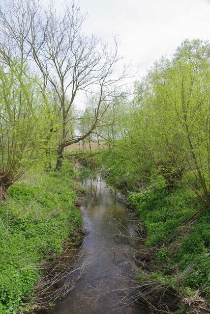
River Box

The River Box is a small river, 14 miles (23 km) in length, that flows through Suffolk, England. It is a tributary of the River Stour. == Toponymy == The...

Giffords Hall, Stoke-by-Nayland

Giffords Hall (also called Gifford's Hall) is a Tudor manor house near Stoke-by-Nayland in Suffolk, England. It was described by Nikolaus Pevsner as “one...

Higham, Babergh

Higham is a village and civil parish in Suffolk, England. Located on the eastern bank of the River Brett (which defines the parish's western boundary)...

River Brett

The River Brett is a river in Suffolk, England. Its source is in the villages to the north of Lavenham and it flows through Hadleigh to its confluence...

Shelley, Suffolk

Shelley is a small village and civil parish in Suffolk, England. Located on the west bank of the River Brett around three miles south of Hadleigh, it is...

Nearby Amenities

Located within 500m of 51.981,0.93
Waterway: weir
Lat/Long: 51.9826881/0.9284856
Thorington Street
Is In: Suffolk, England, UK
Place: hamlet
Source: NPE
Wikidata: Q1975899
Lat/Long: 51.9813409/0.9248915
Bus Stop
The Rose
Naptan AtcoCode: 390010110
Naptan Bearing: W
Naptan BusStopType: CUS
Naptan CommonName: The Rose
Naptan Indicator: opp
Naptan Landmark: The Rose
Naptan NaptanCode: sufadjdp
Naptan Street: B1068
Naptan Verified: no
Source: naptan_import
Lat/Long: 51.9801258/0.9267476
Bus Stop
The Rose
Naptan AtcoCode: 390010111
Naptan Bearing: E
Naptan BusStopType: CUS
Naptan CommonName: The Rose
Naptan Indicator: adj
Naptan Landmark: The Rose
Naptan NaptanCode: sufadjdt
Naptan Street: B1068
Naptan Verified: no
Source: naptan_import
Lat/Long: 51.9802137/0.9268262
Post Box
Operator: Royal Mail
Post Box Type: lamp
Lat/Long: 51.9816718/0.9260751
Information: guidepost
Tourism: information
Lat/Long: 51.9801035/0.9267921
Telephone
Booth: K6
Covered: booth
Listed Status: Grade II
Phone: +44 1206 337268
Lat/Long: 51.9801104/0.9268355
The data included in this document is from www.openstreetmap.org. The data is made available under ODbL.

Have you been to Thorington Hall & Studio?

Leave your review of Thorington Hall & Studio below (or comments, questions and feedback).