The Palace
Heritage Site in Pembrokeshire
Wales
The Palace
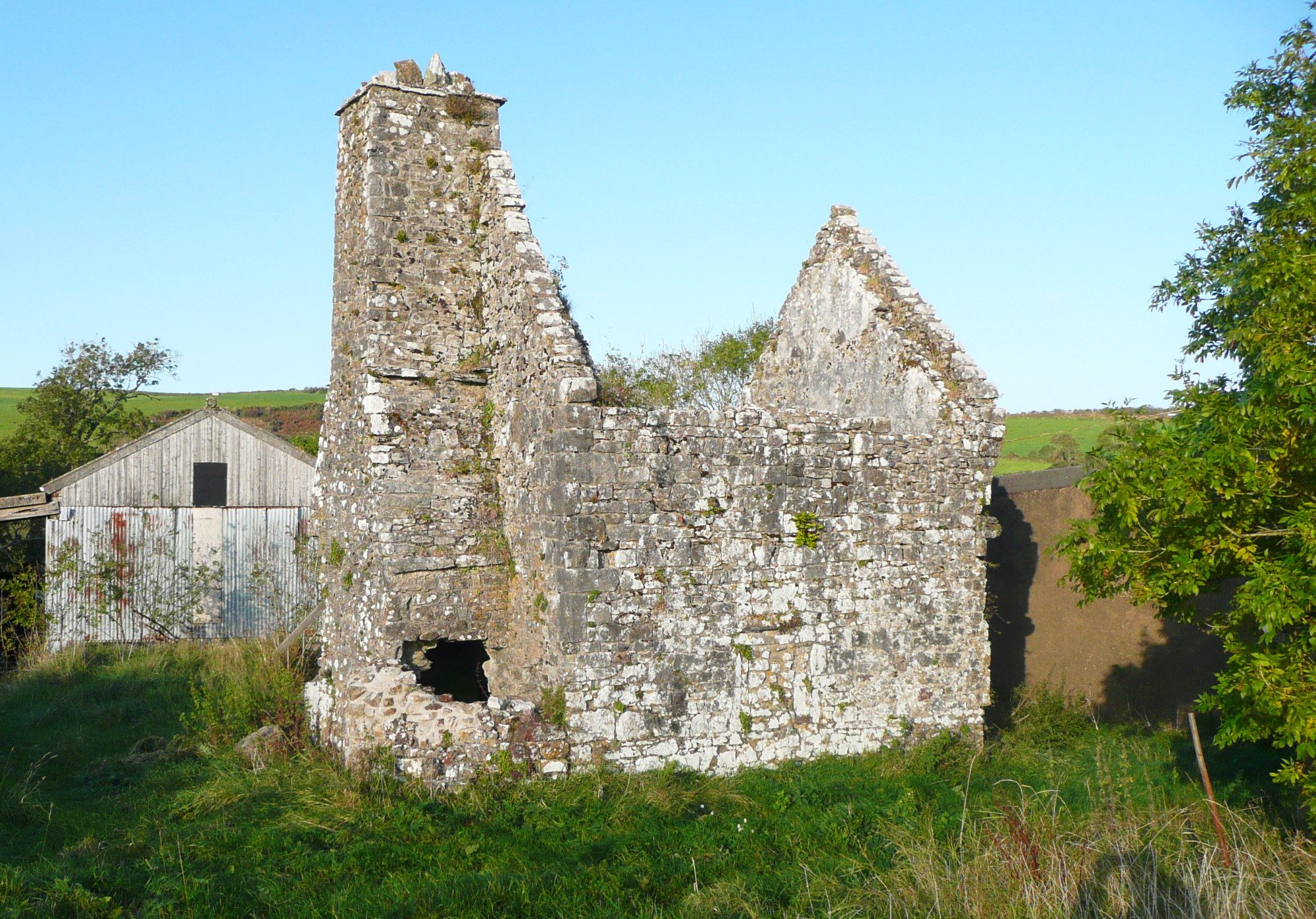
The Palace, located in Pembrokeshire, Wales, is a historic heritage site that boasts a rich history dating back to the medieval period. The site is known for its impressive ruins, which stand as a testament to the grandeur and importance it once held.
Originally built as a fortified manor house in the 13th century, The Palace was later expanded and transformed into a luxurious residence for the Bishop of St. David's. It served as the administrative center of the church and played a significant role in the region's religious and political affairs.
The Palace is characterized by its stunning architecture, featuring a combination of medieval and Tudor styles. The ruins include the remains of a great hall, a chapel, residential quarters, and defensive walls. Despite the passage of time and various periods of decay, the site still showcases intricate details such as carved stone window frames and ornamental fireplaces.
Visitors to The Palace can explore the grounds and experience the grandeur of the past. The ruins are surrounded by beautiful gardens, providing a serene and picturesque backdrop. The site also offers guided tours, allowing visitors to delve into the site's history and learn about the people who once inhabited it.
The Palace, Pembrokeshire, is an important heritage site that offers a glimpse into Wales' medieval and Tudor past. With its impressive ruins and captivating history, it continues to attract visitors who appreciate the beauty and significance of this architectural gem.
If you have any feedback on the listing, please let us know in the comments section below.
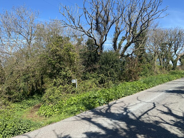
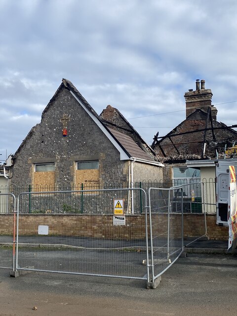
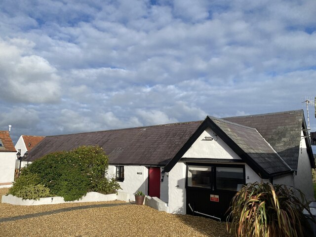
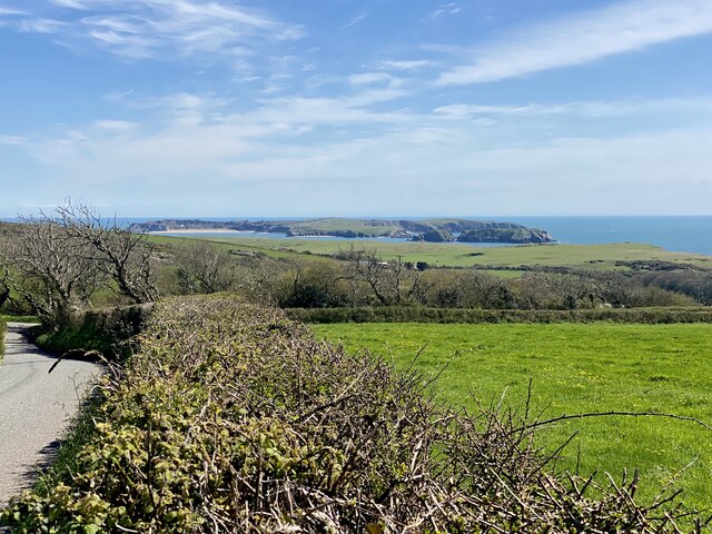
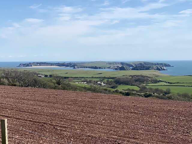
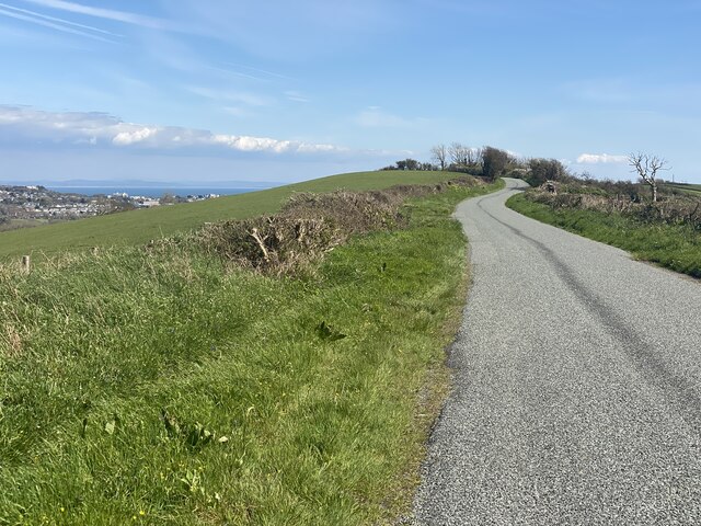
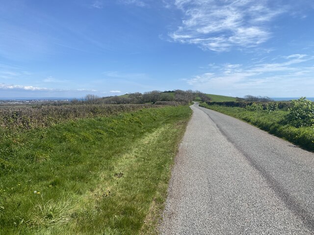
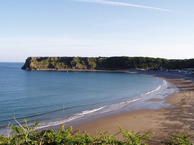
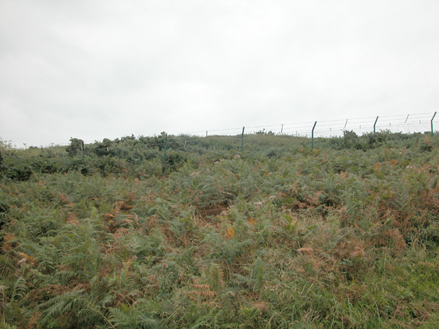
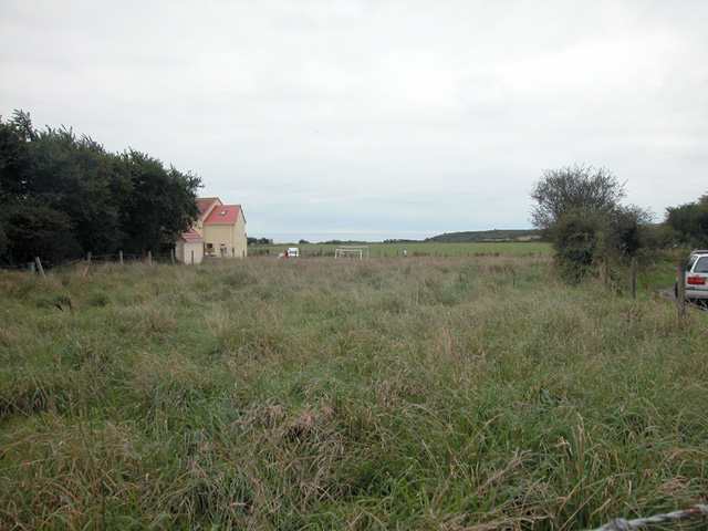
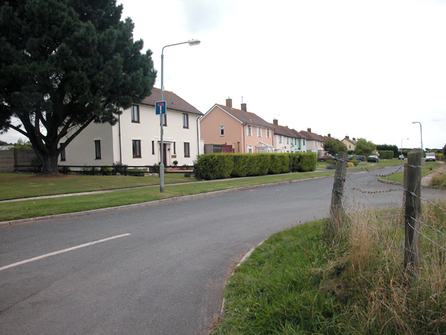
The Palace Images
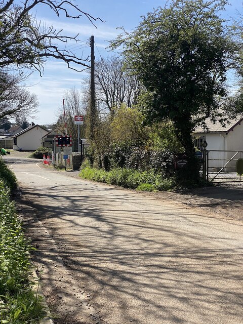
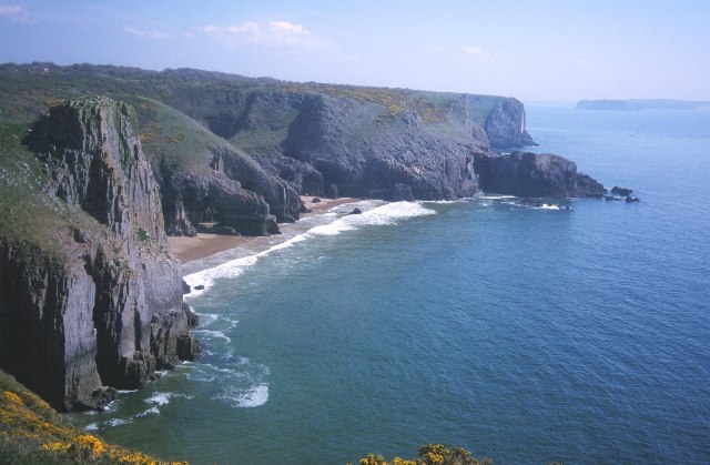
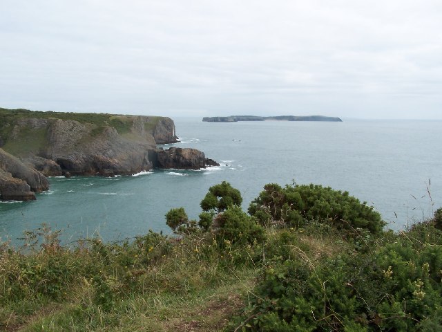
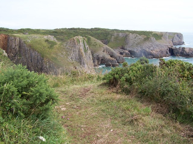
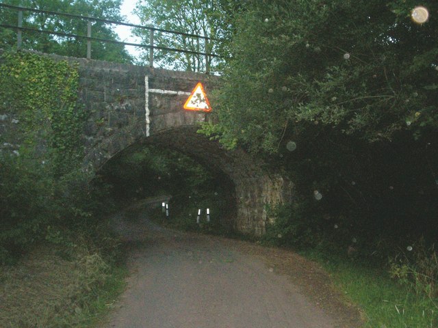
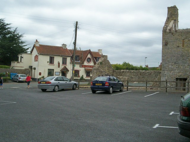
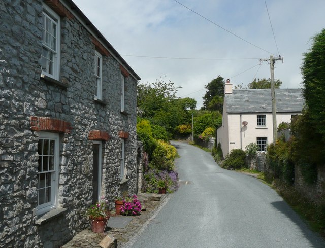
Images are sourced within 2km of 51.652/-4.768 or Grid Reference SS0898. Thanks to Geograph Open Source API. All images are credited.
The Palace is located at Grid Ref: SS0898 (Lat: 51.652, Lng: -4.768)
Unitary Authority: Pembrokeshire
Police Authority: Dyfed Powys
What 3 Words
///beam.utter.stages. Near Manorbier, Pembrokeshire
Nearby Locations
Related Wikis

Lydstep Haven
Lydstep Haven, known in ancient times as Lis Castell, is an area in Pembrokeshire, Wales, in the community of Manorbier. Both the beach and caravan park...

RAF Manorbier
Royal Air Force Manorbier, or more simply RAF Manorbier, was a Royal Air Force airfield near Manorbier, Pembrokeshire, Wales. The site was first used in...

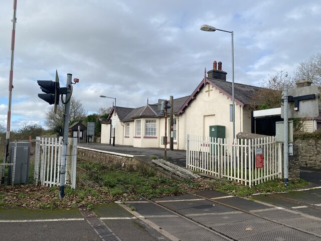
Manorbier railway station
Manorbier railway station is in Pembrokeshire, Wales, on the Pembroke Dock branch of the West Wales Line is operated by Transport for Wales Rail, who also...
Manorbier
Manorbier (; Welsh: Maenorbŷr [mɑɨnɔrˈbɨːr]) is a village, community and parish on the south coast of Pembrokeshire, Wales. The name means the 'Manor of...
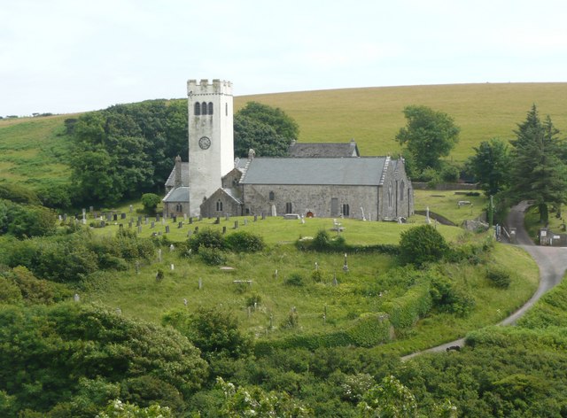
St James's Church, Manorbier
St James's Church, Manorbier is a Grade I-listed parish church in Manorbier, Pembrokeshire, Wales. The church dates from the 12th century, and has been...

Manorbier Castle
Manorbier Castle (Welsh: Castell Maenorbŷr) is a Norman castle in Manorbier, 5 miles (8.0 km) southwest of Tenby, Wales. It was founded in the late 11th...
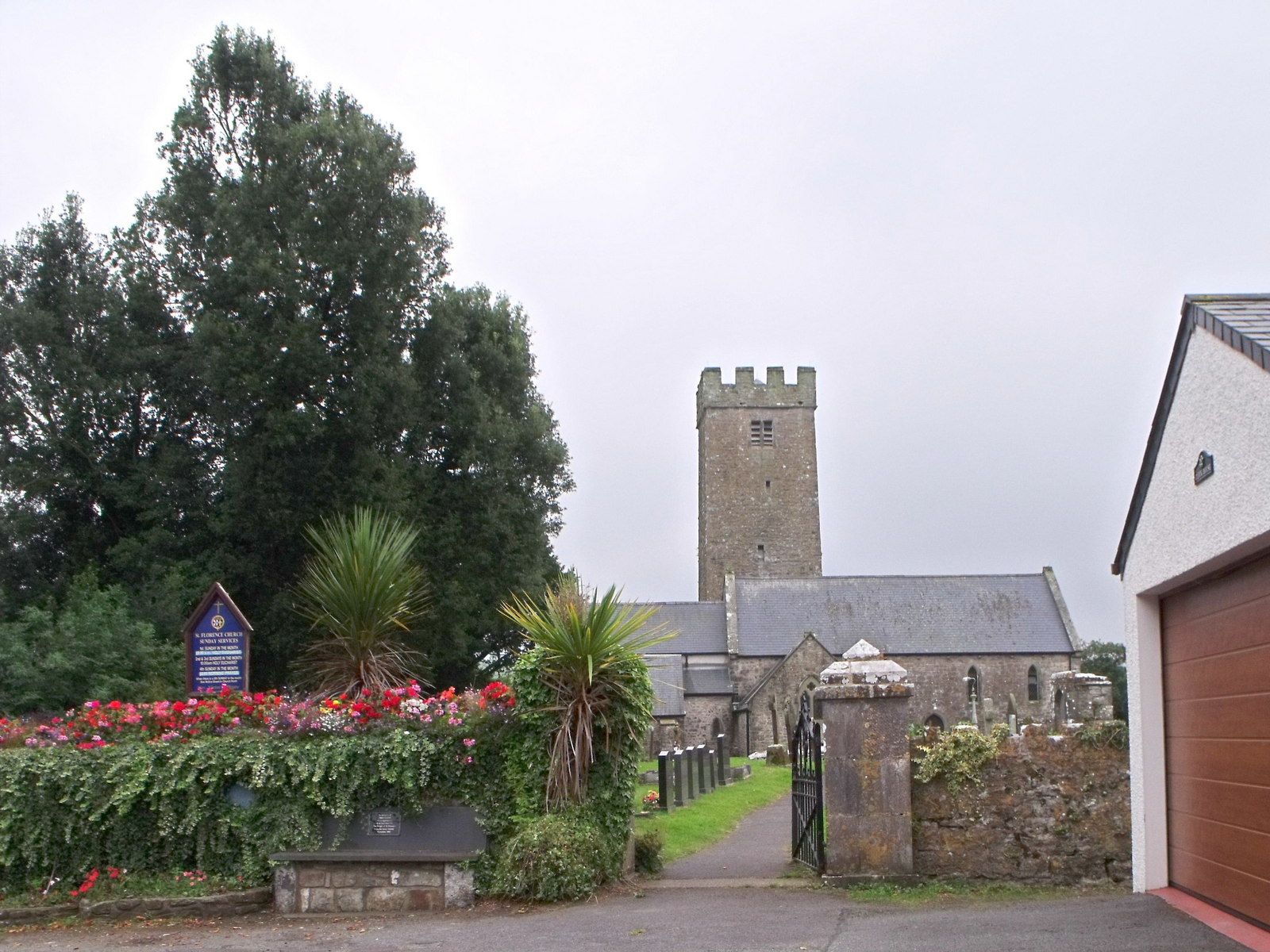
St Florence
St Florence (Welsh: Sain Fflwrens) is both a village, a parish and a community in Pembrokeshire, Wales. St Florence sits on the River Ritec that flows...
Carswell Medieval House
Carswell Medieval House is a Grade II*-listed historic stone ruin of a medieval tenant farm in the village of Penally, near St Florence in Tenby. Visit...
Nearby Amenities
Located within 500m of 51.652,-4.768Have you been to The Palace?
Leave your review of The Palace below (or comments, questions and feedback).