Lydstep

Settlement in Pembrokeshire

Wales

Lydstep

Celtic Haven Cottages, Lydstep
Celtic Haven Cottages, Lydstep Credit: Alan Hughes

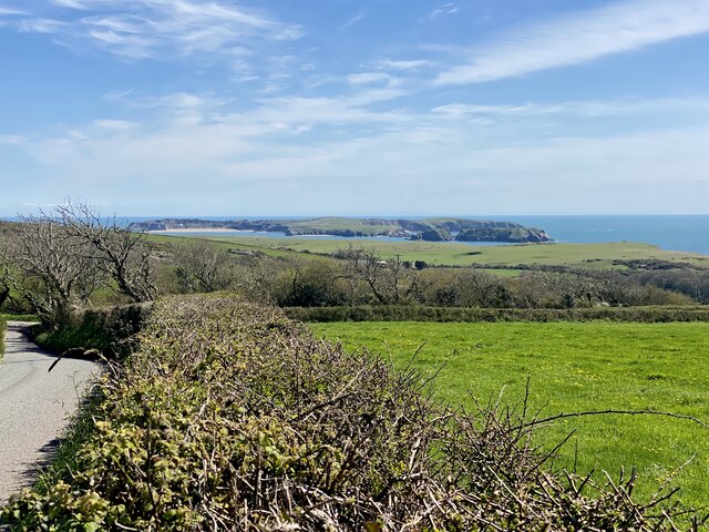
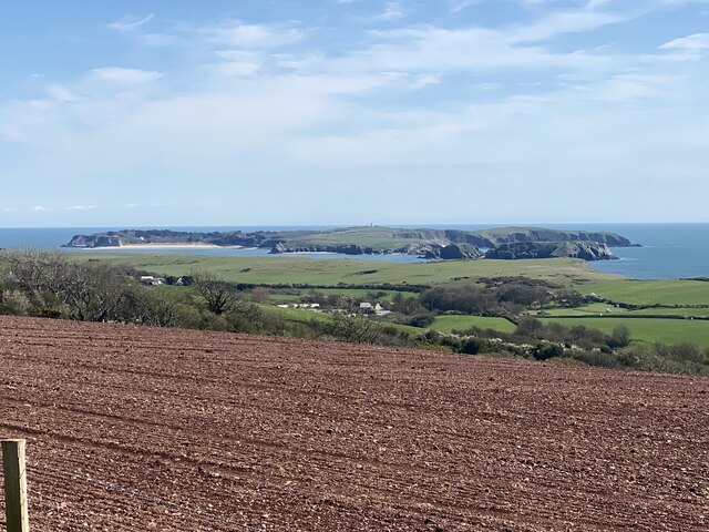
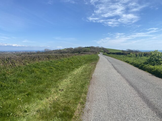
Lydstep is a small village located on the south coast of Pembrokeshire, Wales. Situated approximately 5 miles southwest of Tenby, it boasts a picturesque setting overlooking Lydstep Haven, a beautiful sandy beach. The village is surrounded by stunning natural landscapes, with the Pembrokeshire Coast National Park to the west and the rolling green hills of the Pembrokeshire countryside to the east.

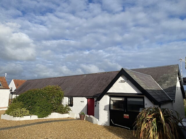
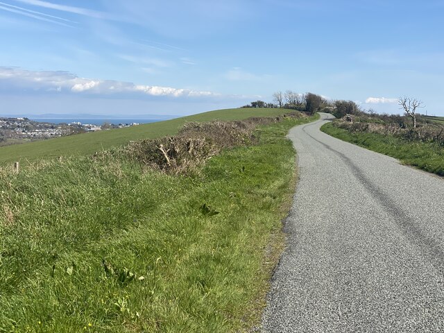
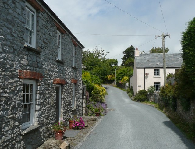
Lydstep is known for its tranquil atmosphere and is a popular destination for those seeking a peaceful retreat. The village itself is small, with a few charming cottages, a local pub, and a small convenience store catering to the needs of residents and visitors. The surrounding area offers ample opportunities for outdoor activities such as hiking, cycling, and birdwatching, with several walking trails and nature reserves nearby.

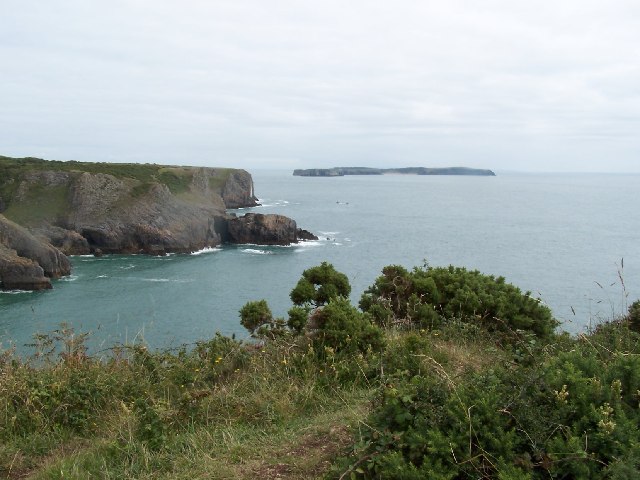
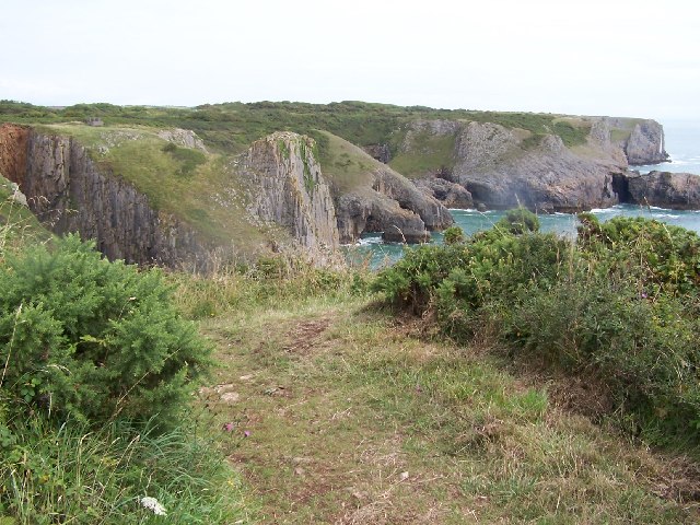
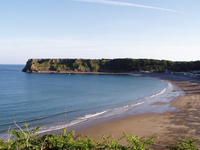
One of the main attractions in Lydstep is Lydstep Beach, a secluded bay renowned for its clear turquoise waters and golden sands. The beach is flanked by towering cliffs and offers panoramic views of the Bristol Channel. It provides a perfect spot for swimming, sunbathing, and exploring rock pools during low tide.

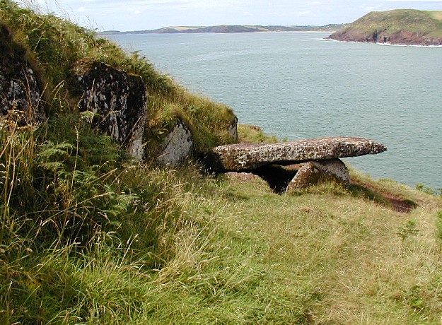
For those interested in history, Lydstep is also home to Lydstep Point Fort, an ancient Iron Age hillfort situated on a headland overlooking the sea. The fort provides a glimpse into the area's rich past and offers breathtaking views of the coastline.

Overall, Lydstep is a hidden gem in Pembrokeshire, offering a peaceful and idyllic coastal setting, stunning natural beauty, and a chance to reconnect with nature.

If you have any feedback on the listing, please let us know in the comments section below.
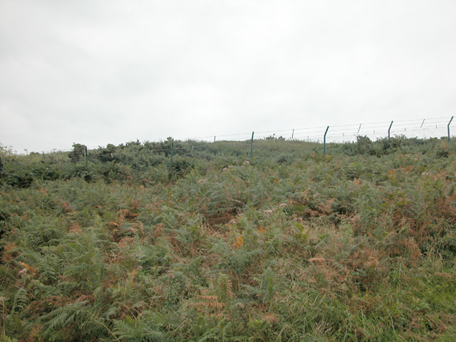
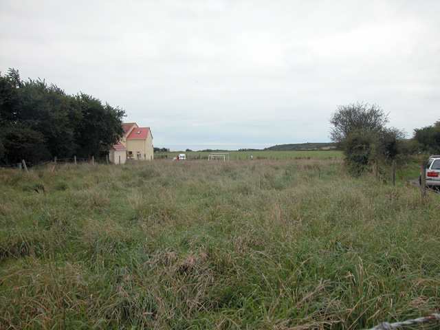
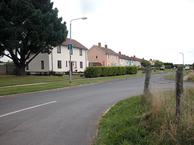
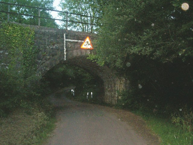
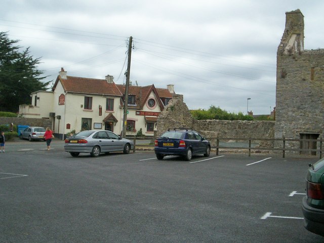
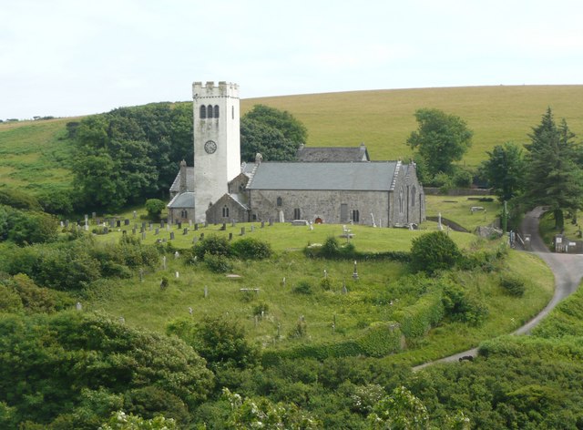
Lydstep Images

Images are sourced within 2km of 51.64993/-4.766263 or Grid Reference SS0898. Thanks to Geograph Open Source API. All images are credited.

Celtic Haven Cottages, Lydstep
Hedged field Looking towards Caldey Island.
Hedged field
Looking towards Caldey Island.
View across farmland to Caldey Island
The Ridgeway towards Tenby
The Ridgeway Direction Tenby.
The Ridgeway
Direction Tenby.
Coast south of Lydstep Beaches and crags. Caldey in the distance
Coast south of Lydstep
Beaches and crags. Caldey in the distance
Skrinkle Haven A view from the Pembrokeshire Coastal Path above Skrinkle Haven looking beyond Lydstep Point to Caldey Island.
Skrinkle Haven
A view from the Pembrokeshire Coastal Path above Skrinkle Haven looking beyond Lydstep Point to Caldey Island.
Pembrokeshire Coastal Path From above Skrinkle Haven the path towards Tenby runs along the cliff top. Below are many rock features including arches, stacks and caves.
Pembrokeshire Coastal Path
From above Skrinkle Haven the path towards Tenby runs along the cliff top. Below are many rock features including arches, stacks and caves.
The beach at Lydstep Haven near Tenby
Government Property RAR Manorbier Artillery firing range.
Government Property
RAR Manorbier Artillery firing range.
Within range of the Range View near to Manorbier military camp artillery firing range.
Within range of the Range
View near to Manorbier military camp artillery firing range.
Baldwin's Moor Houses adjacent to RAR Manorbier.
Baldwin's Moor
Houses adjacent to RAR Manorbier.
Railway bridge Carrying the Tenby to Pembroke Dock line.
Railway bridge
Carrying the Tenby to Pembroke Dock line.
The Lydstep Tavern and Bishop's Palace. The remains of the Bishop's Palace are on the right, with the pub across the A4139.
The Lydstep Tavern and Bishop's Palace.
The remains of the Bishop's Palace are on the right, with the pub across the A4139.
Railway bridge, near Norchard Farm Whitland to Pembroke Dock line. Norchard Farm is up the lane on RHS. The bridge is an unusual skew design with three separate arches.
Railway bridge, near Norchard Farm
Whitland to Pembroke Dock line. Norchard Farm is up the lane on RHS. The bridge is an unusual skew design with three separate arches.
Looking West along railway track A straight section on the approach to Manorbier station. In the distance can be seen a modern signal warning of the crossing just before Manorbier station.
Looking West along railway track
A straight section on the approach to Manorbier station. In the distance can be seen a modern signal warning of the crossing just before Manorbier station.
Skrinkle Haven. Skrinkle Haven is such a beautiful place, shame the military have a firing ground right above it! (at top of picture)
Skrinkle Haven.
Skrinkle Haven is such a beautiful place, shame the military have a firing ground right above it! (at top of picture)
Lydstep Point. Lydstep Point with Caldey island in the distance.
Lydstep Point.
Lydstep Point with Caldey island in the distance.
Show me another place!

Lydstep is located at Grid Ref: SS0898 (Lat: 51.64993, Lng: -4.766263)

Unitary Authority: Pembrokeshire

Police Authority: Dyfed Powys

What 3 Words

///flinches.attend.watch. Near Manorbier, Pembrokeshire

Nearby Locations

Lydstep The Palace

Related Wikis

Nearby Amenities

Located within 500m of 51.64993,-4.766263
Lydstep
Is In: Pembrokeshire,Wales,UK
Place: village
Wikidata: Q6707738
Lat/Long: 51.6510313/-4.7687555
Bicycle: no
Foot: yes
Lat/Long: 51.6467476/-4.7657311
Tourism: information
Lat/Long: 51.6477871/-4.7619539
Bench
Lat/Long: 51.647659/-4.7618976
SPAR
Brand: Spar
Brand Wikidata: Q610492
Shop: convenience
Lat/Long: 51.6511214/-4.7615044
Direction: 185
Generator Method: photovoltaic
Generator Output Electricity: yes
Generator Solar Modules: 8
Generator Source: solar
Generator Type: solar_photovoltaic_panel
Location: roof
Power: generator
Lat/Long: 51.6507575/-4.7698239
Direction: SSW
Generator Method: photovoltaic
Generator Output Electricity: yes
Generator Solar Modules: 20
Generator Source: solar
Generator Type: solar_photovoltaic_panel
Location: roof
Power: generator
Lat/Long: 51.6513986/-4.7701565
Happy Acre Campsite
Disused Tourism: camp_site
Phone: +441834870150
Lat/Long: 51.6517897/-4.7696301
Post Box
Collection Times: Mo-Fr 09:00; Sa 07:00
Note: New postbox - visited on 2023-06-08 - Google Streetview confirms it appears between 2011 and 2016.
Operator: Royal Mail
Ref: SA70 56D
Royal Cypher: EIIR
Source: survey
Survey Date: 2023-06-08
Lat/Long: 51.6512796/-4.7680845
The data included in this document is from www.openstreetmap.org. The data is made available under ODbL.

Have you been to Lydstep?

Leave your review of Lydstep below (or comments, questions and feedback).