The Mount

Heritage Site in Shropshire

England

The Mount

A49 near Linford Farm The A49 is a major road that runs for 158 miles from Bamber Bridge, near Preston, to Ross-on-Wye.

The section north of Warrington is mostly a non-primary road for local traffic, having been largely superseded by the M6 motorway. South of Warrington, the route traverses the Welsh Marches region <span class="nowrap"><a title="https://en.wikipedia.org/wiki/Welsh_Marches" rel="nofollow ugc noopener" href="https://en.wikipedia.org/wiki/Welsh_Marches">Link</a><img style="margin-left:2px;" alt="External link" title="External link - shift click to open in new window" src="https://s1.geograph.org.uk/img/external.png" width="10" height="10"/></span>  , following the hills along the English/Welsh borders although it never actually enters Wales; usually running around ten miles away from the border as it winds its way through Cheshire, Shropshire and Herefordshire although it comes within a couple of miles near Whitchurch. The road is all primary but mainly single carriageway, which means that traffic queues sometimes build up behind tractors or slow-moving goods vehicles.  The stretch between the A5 at Shrewsbury and Ross-on-Wye is a trunk road, maintained by the national Highways England.
<span class="nowrap"><a title="http://www.sabre-roads.org.uk/wiki/index.php?title=A49" rel="nofollow ugc noopener" href="http://www.sabre-roads.org.uk/wiki/index.php?title=A49">Link</a><img style="margin-left:2px;" alt="External link" title="External link - shift click to open in new window" src="https://s1.geograph.org.uk/img/external.png" width="10" height="10"/></span>  SABRE
A49 near Linford Farm Credit: David Dixon

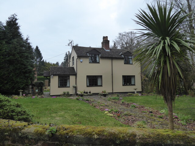
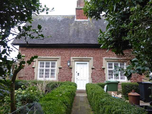
The Mount, located in Shropshire, England, is a prominent heritage site that holds significant historical and architectural value. Built in the 18th century, it is a prime example of Georgian architecture and serves as a testament to the opulence of the era.

Situated on a hill, the Mount offers breathtaking views of the surrounding countryside, making it a popular destination for tourists and locals alike. The building itself is a three-story mansion constructed with red brick and adorned with elegant white plasterwork. Its symmetrical design and grandeur reflect the architectural style prevalent during the Georgian period.

The Mount boasts a remarkable interior filled with period features, including intricately carved woodwork, ornate plaster ceilings, and beautiful marble fireplaces. The rooms are lavishly decorated and furnished with antique furniture, providing visitors with a glimpse into the luxurious lifestyle enjoyed by the building's former inhabitants.

In addition to the main mansion, the estate also includes stunning landscaped gardens, complete with terraces, lawns, and a picturesque lake. The gardens feature a variety of rare and exotic plants, carefully maintained to preserve their beauty.

Today, The Mount is open to the public, allowing visitors to explore its interior and gardens. Guided tours provide insight into the history and architecture of the site, offering a captivating experience for history enthusiasts and architectural admirers.

The Mount in Shropshire stands as a testament to the grandeur and elegance of the Georgian era, attracting visitors from all over the world who are eager to immerse themselves in its rich history and stunning surroundings.

If you have any feedback on the listing, please let us know in the comments section below.

The Mount Images

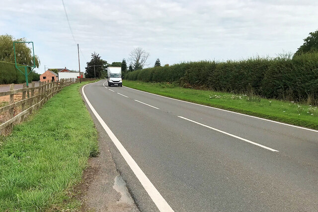
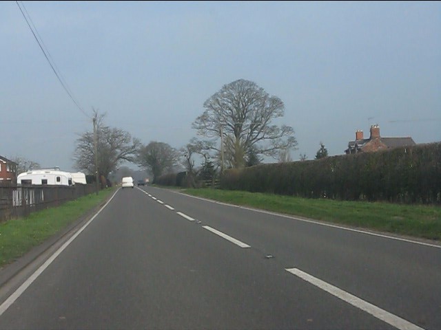
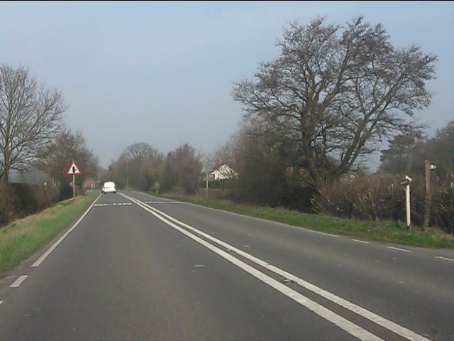
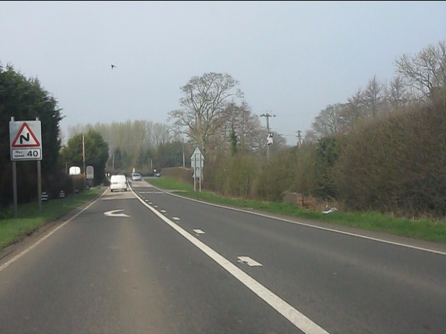
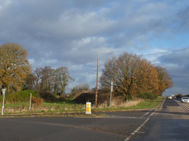
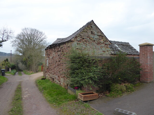
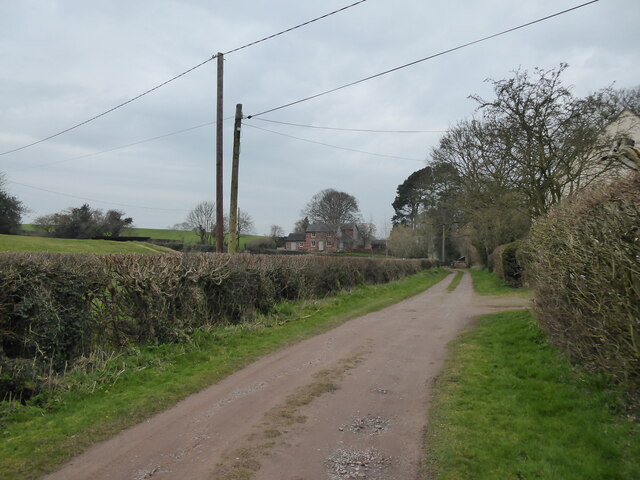
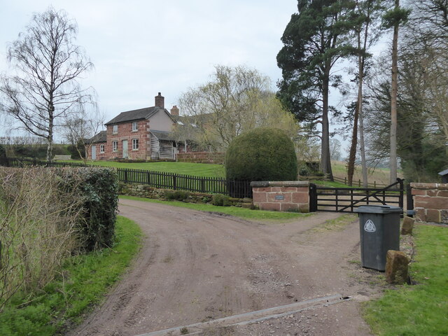
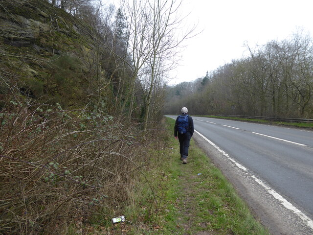
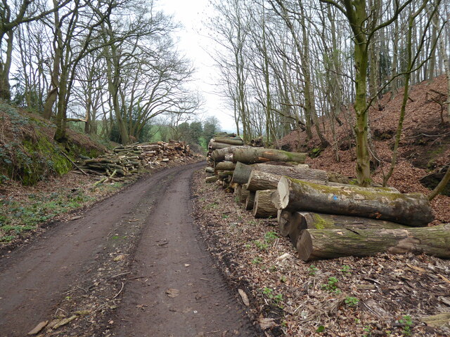
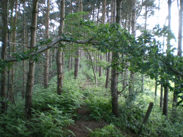
Images are sourced within 2km of 52.862/-2.647 or Grid Reference SJ5629. Thanks to Geograph Open Source API. All images are credited.

A49 near Linford Farm The A49 is a major road that runs for 158 miles from Bamber Bridge, near Preston, to Ross-on-Wye.

The section north of Warrington is mostly a non-primary road for local traffic, having been largely superseded by the M6 motorway. South of Warrington, the route traverses the Welsh Marches region <span class="nowrap"><a title="https://en.wikipedia.org/wiki/Welsh_Marches" rel="nofollow ugc noopener" href="https://en.wikipedia.org/wiki/Welsh_Marches">Link</a><img style="margin-left:2px;" alt="External link" title="External link - shift click to open in new window" src="https://s1.geograph.org.uk/img/external.png" width="10" height="10"/></span>  , following the hills along the English/Welsh borders although it never actually enters Wales; usually running around ten miles away from the border as it winds its way through Cheshire, Shropshire and Herefordshire although it comes within a couple of miles near Whitchurch. The road is all primary but mainly single carriageway, which means that traffic queues sometimes build up behind tractors or slow-moving goods vehicles.  The stretch between the A5 at Shrewsbury and Ross-on-Wye is a trunk road, maintained by the national Highways England.
<span class="nowrap"><a title="http://www.sabre-roads.org.uk/wiki/index.php?title=A49" rel="nofollow ugc noopener" href="http://www.sabre-roads.org.uk/wiki/index.php?title=A49">Link</a><img style="margin-left:2px;" alt="External link" title="External link - shift click to open in new window" src="https://s1.geograph.org.uk/img/external.png" width="10" height="10"/></span>  SABRE
A49 near Linford Farm
The A49 is a major road that runs for 158 miles from Bamber Bridge, near Preston, to Ross-on-Wye. The section north of Warrington is mostly a non-primary road for local traffic, having been largely superseded by the M6 motorway. South of Warrington, the route traverses the Welsh Marches region LinkExternal link , following the hills along the English/Welsh borders although it never actually enters Wales; usually running around ten miles away from the border as it winds its way through Cheshire, Shropshire and Herefordshire although it comes within a couple of miles near Whitchurch. The road is all primary but mainly single carriageway, which means that traffic queues sometimes build up behind tractors or slow-moving goods vehicles. The stretch between the A5 at Shrewsbury and Ross-on-Wye is a trunk road, maintained by the national Highways England. LinkExternal link SABRE
A49 at Linford Farm
A49 at Linford Farm
A49 south of Nook Lane
A49 at Hough Farm
A49 at Hough Farm
A49 twisting at The Grove
A49 northbound
A49 northbound
Minor road passing Dairy House The trees on the left screen a pool beside Dairy House
Minor road passing Dairy House
The trees on the left screen a pool beside Dairy House
Lay-by on A49 near Wixhill This lay-by appears to be the result of the realignment of the A49 to simplify a bend
Lay-by on A49 near Wixhill
This lay-by appears to be the result of the realignment of the A49 to simplify a bend
Crossroads north of Wixhill and Weston The open space between the hedge on the left and the trees in the centre appears to be the result of using part of a former field for housing and the realignment of the A49 around the crossroads
Crossroads north of Wixhill and Weston
The open space between the hedge on the left and the trees in the centre appears to be the result of using part of a former field for housing and the realignment of the A49 around the crossroads
Crocuses in March near Lee Brockhurst Great to see and appreciate.
Crocuses in March near Lee Brockhurst
Great to see and appreciate.
Tree down across the track Storm damage or forestry work?
Tree down across the track
Storm damage or forestry work?
Nice house beside the track Nice house and nice garden.
Nice house beside the track
Nice house and nice garden.
Pretty cottage in Weston Heath Striking.
Pretty cottage in Weston Heath
Striking.
Outbuilding beside the track Eye-catching and crooked old structure, which I have snapped before and couldn't resist again.
Outbuilding beside the track
Eye-catching and crooked old structure, which I have snapped before and couldn't resist again.
View towards Mulberry Cottage Striking rural home.
View towards Mulberry Cottage
Striking rural home.
Mulberry Cottage Much extended - in fact the extensions dwarf the original cottage by half - but sweet nonetheless.
Mulberry Cottage
Much extended - in fact the extensions dwarf the original cottage by half - but sweet nonetheless.
Footpath beside the A49 north of Lee Brockhurst Dangerous, litter strewn path.
Footpath beside the A49 north of Lee Brockhurst
Dangerous, litter strewn path.
Logging area beside the footpath A bit dangerous in my humble opinion.
Logging area beside the footpath
A bit dangerous in my humble opinion.
Show me another place!

The Mount is located at Grid Ref: SJ5629 (Lat: 52.862, Lng: -2.647)

What 3 Words

///dock.composts.tumble. Near Prees, Shropshire

Nearby Locations

The Mount

Related Wikis

Hawkstone Park

Hawkstone Park is a destination on the English Grand Tour and is a historic landscape park with pleasure grounds and gardens. It historically associated...

Weston-under-Redcastle

Weston-under-Redcastle is an estate village of the Sir Rowland Hill legacy estates. It is a civil parish in Shropshire, England. It lies 10 km (6.2 miles...

Hawkstone Hall

Hawkstone Hall is a 43,400 square feet (4,030 m2) early 18th-century country mansion near Hodnet, Shropshire, England which was more recently occupied...

Soulton Hall

Soulton Hall is a Tudor country house near Wem, England. It was a 16th century architectural project of Sir Rowland Hill, publisher of the Geneva Bible...

Bury Walls

Bury Walls is an Iron Age hillfort about 1 mile (1.6 km) south-east of Weston-under-Redcastle, in Shropshire, England. It is a scheduled monument. ��2...

Soulton Long Barrow

The Soulton Long Barrow and Ritual Landscape is a modern memorial in the form of a long barrow in the Soulton landscape near Wem in Shropshire, England...

Hawkstone Park Motocross Circuit

Hawkstone Park Motocross Circuit, typically referred to as Hawkstone Park or Hawkstone, is a motocross circuit situated near Market Drayton, north Shropshire...

Lee Brockhurst

Lee Brockhurst, sometimes known locally as just Brockhurst, is a village and former civil parish, now in the parish of Moreton Corbet and Lee Brockhurst...

Nearby Amenities

Located within 500m of 52.862,-2.647
Weston Mount
Natural: peak
Lat/Long: 52.8578154/-2.649029
The data included in this document is from www.openstreetmap.org. The data is made available under ODbL.

Have you been to The Mount?

Leave your review of The Mount below (or comments, questions and feedback).