The Mount
Heritage Site in Radnorshire
Wales
The Mount
The Mount, located in Radnorshire, is a historical heritage site that holds significant cultural and architectural importance. Situated on a gentle slope overlooking the picturesque Radnor Valley, The Mount is a well-preserved motte and bailey castle dating back to the 12th century.
The site consists of a large motte, which is an artificial mound, and a surrounding bailey, an enclosed courtyard. The motte, constructed using earth and stone, stands approximately 30 feet high and offers commanding views of the surrounding landscape. The bailey, surrounded by a defensive ditch, encompasses an area of about 1 acre and contains the remains of various buildings, including a great hall and a chapel.
Originally built as a defensive structure, The Mount played a significant role in the medieval period, guarding the strategic route through Radnorshire. It was the seat of the local lord and a symbol of their power and authority. Over the centuries, the castle underwent several modifications and additions, reflecting changing military techniques and architectural styles.
Today, The Mount is a popular tourist attraction, drawing visitors who are intrigued by its rich history and stunning surroundings. The site offers visitors the opportunity to explore the castle's remains, including the motte, bailey, and the remnants of the buildings. Interpretive panels provide information about the castle's history and its role in the region, allowing visitors to delve deeper into its past.
The Mount in Radnorshire stands as a testament to the region's medieval heritage, offering visitors a glimpse into a bygone era and the opportunity to appreciate the architectural prowess of the time.
If you have any feedback on the listing, please let us know in the comments section below.
The Mount Images
Images are sourced within 2km of 52.368/-3.447 or Grid Reference SO0175. Thanks to Geograph Open Source API. All images are credited.


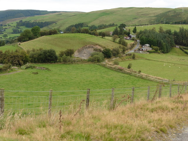
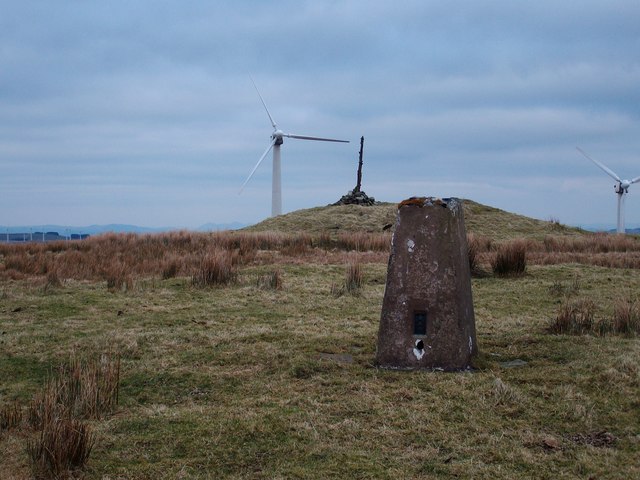
![Fields and forestry On the 1:25,000 map, Glyndwr's Way [long distance footpath] goes through this wood, but on the 1:50,000 it is shown as passing along the base of the hills about a kilometre beyond. Both lines are public rights of way.](https://s2.geograph.org.uk/photos/41/34/413454_7db46c88.jpg)


The Mount is located at Grid Ref: SO0175 (Lat: 52.368, Lng: -3.447)
Unitary Authority: Powys
Police Authority: Dyfed Powys
What 3 Words
///irrigated.trucks.mailbox. Near Rhayader, Powys
Nearby Locations
Related Wikis
Pantydwr railway station
Pantydwr railway station was a station to the north of St Harmon, Powys, Wales. The station was opened in 1864. The station was built at the highest point...
St Harmon
St Harmon (Welsh: Llanarmon) is a village in Radnorshire, Powys, Wales. The population of the Community at the 2011 census was 593. It is located on the...
St Harmons railway station
St Harmons railway station was a station in St Harmon, Powys, Wales. The station opened in 1872 and closed in 1962. == References == == Further reading... ==

Glan-yr-Afon Halt railway station
Glan-yr-Afon Halt railway station was a station to the southeast of Tylwch, Powys, Wales. The station was closed in 1962. == References == == Further... ==

Red Lion Hill
Red Lion Hill (Welsh: Bryn Llew Goch) or Banc y Dolau is a hill in Powys, Wales, with a summit 484.6 metres (1,590 ft) above sea level. It is located in...

Mid and West Wales
Mid and West Wales or Mid and South West Wales is an ambiguous region of Wales that is sometimes used, consisting broadly of the preserved counties of...

Abbey Cwmhir Hall
Abbey-Cwm-Hir Hall is a neo-Elizabethan country house in the Welsh county of Powys. == History == The hall was built in 1833 for Thomas Wilson, a London...
Pegwn Mawr
Pegwn Mawr is a mountain in Powys, Mid Wales, east of Llanidloes. It is 586 m (1,922 ft) high. It is surrounded by a wind farm. There is a trig point...
Nearby Amenities
Located within 500m of 52.368,-3.447Have you been to The Mount?
Leave your review of The Mount below (or comments, questions and feedback).