The Manor

Heritage Site in Wiltshire

England

The Manor

Sign at the Longs Arms PH
Sign at the Longs Arms PH Credit: Shazz

The Manor, located in Wiltshire, England, is a historically significant heritage site that dates back to the 13th century. Nestled amidst lush greenery and rolling hills, this magnificent building stands as a testament to the region's rich history and architectural grandeur. Originally built as a manor house, it has undergone numerous transformations over the centuries, evolving into a prominent landmark.

The Manor boasts a stunning medieval design, characterized by its stone walls, timber-framed structure, and intricately carved details. The building's imposing presence is further enhanced by its fortified features, including a towering gatehouse and a moat that once provided protection from potential threats.

Throughout its long history, The Manor has been home to several notable figures, including influential nobles and high-ranking officials. Its illustrious past is evident in the opulent interiors, adorned with ornate furnishings, elegant tapestries, and priceless artwork. Visitors can explore the various rooms, such as the grand hall, drawing rooms, and bedrooms, which offer a glimpse into the lavish lifestyle of the estate's former occupants.

Aside from its architectural marvels, The Manor also boasts extensive grounds that are meticulously maintained. These include beautifully landscaped gardens, where visitors can wander through manicured lawns, vibrant flowerbeds, and serene water features. The surrounding countryside provides a picturesque backdrop, making it an ideal spot for leisurely strolls or picnics.

The Manor is not only a popular tourist destination but also serves as a venue for cultural events, exhibitions, and weddings, allowing visitors to experience its timeless beauty firsthand. Overall, this heritage site offers a captivating blend of history, art, and natural splendor, making it a must-visit destination for history enthusiasts and nature lovers alike.

If you have any feedback on the listing, please let us know in the comments section below.

The Manor Images

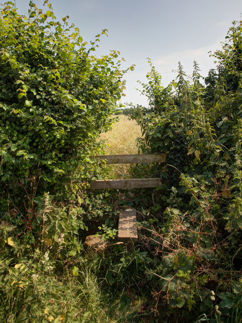
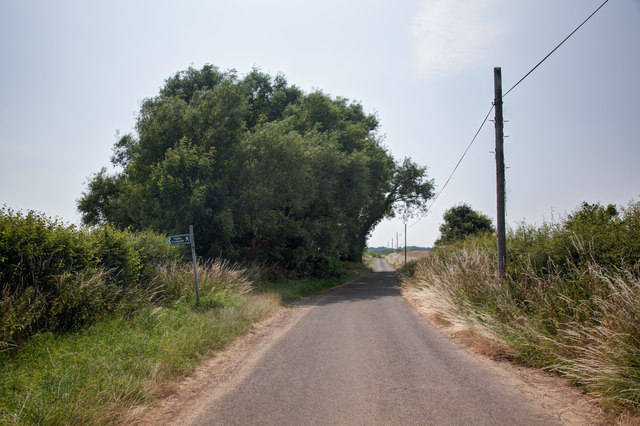
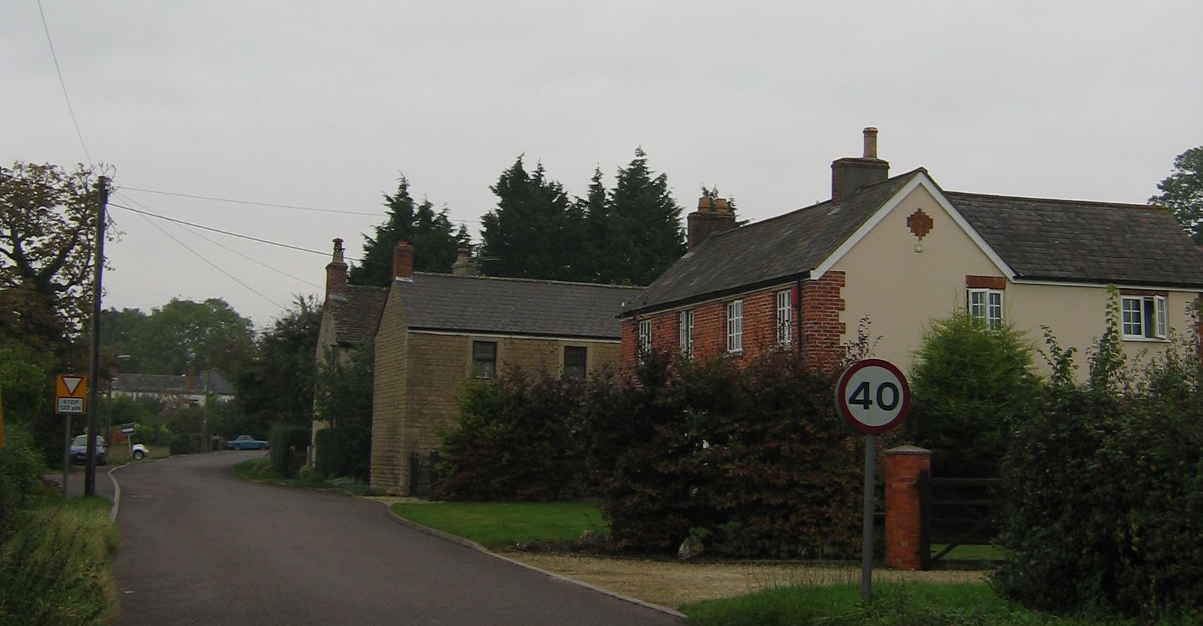
Images are sourced within 2km of 51.317/-2.137 or Grid Reference ST9057. Thanks to Geograph Open Source API. All images are credited.

Sign at the Longs Arms PH
High Street in Steeple Ashton looking south
Stile onto footpath This stile provides access from the road onto the footpath.  Judging by the relatively vigorous crop growth on the footpath this is not frequently used.
Stile onto footpath
This stile provides access from the road onto the footpath. Judging by the relatively vigorous crop growth on the footpath this is not frequently used.
Sandpits Lane The footpath sign points towards the stile and footpath shown in <a href="https://www.geograph.org.uk/photo/3565438">ST9056 : Stile onto footpath</a>
Sandpits Lane
The footpath sign points towards the stile and footpath shown in ST9056 : Stile onto footpath
Natural tunnel on the footpath A tree has formed a small tunnel on the footpath.
Natural tunnel on the footpath
A tree has formed a small tunnel on the footpath.
Footpath by the field boundary To the right of this fence is pasture in which, at the time of taking the image, cows were grazing.

On this side of the fence a footpath runs parallel to the fence.  The field on this side appears to be planted with oil seed rape but in reality it seems to be primarily be growing thistles.
Footpath by the field boundary
To the right of this fence is pasture in which, at the time of taking the image, cows were grazing. On this side of the fence a footpath runs parallel to the fence. The field on this side appears to be planted with oil seed rape but in reality it seems to be primarily be growing thistles.
Footpath through the barley
Barley beside the path This is a close-up view of the barley beside the path shown in <a href="https://www.geograph.org.uk/photo/3567906">ST9157 : Footpath through the barley</a>
Barley beside the path
This is a close-up view of the barley beside the path shown in ST9157 : Footpath through the barley
Byway through the trees
Footpath south of Steeple Ashton
High Street, Steeple Ashton ca 1980 (2)
High Street, Steeple Ashton ca 1980 (1) -
<a href="https://www.geograph.org.uk/photo/3825524">ST9056 : High Street, Steeple Ashton ca 1980 (2)</a>
High Street, Steeple Ashton ca 1980 (1)
Footpath and field The tractor track follows the line of the footpath
Footpath and field
The tractor track follows the line of the footpath
Minor road leading to Keevil
Steeple Ashton: c16th Old Merchants Hall
Steeple Ashton, c16th Old Merchants Hall: Entrance
Steeple Ashton High Street
Show me another place!

The Manor is located at Grid Ref: ST9057 (Lat: 51.317, Lng: -2.137)

What 3 Words

///extent.shaves.strictly. Near Bulkington, Wiltshire

Nearby Locations

The Manor

Related Wikis

Whorwellsdown Hundred

Whorwellsdown was a hundred of the English county of Wiltshire, lying in the west of the county to the south of the towns of Bradford on Avon and Melksham...

Steeple Ashton

Steeple Ashton is a village and civil parish in Wiltshire, England, 3 miles (4.8 km) east of Trowbridge. In the north of the parish are the hamlets of...

Ashton Common

Ashton Common is a hamlet in Wiltshire, England, to the east of Trowbridge. The hamlet lies on Common Hill, a little south of the A350 road, within the...

Great Hinton

Great Hinton is a small village and civil parish about 3 miles (4.8 km) south of Melksham and 3.5 miles (5.6 km) north-east of Trowbridge in Wiltshire...

Nearby Amenities

Located within 500m of 51.317,-2.137
Barrier: stile
Foot: yes
Lat/Long: 51.3143578/-2.1391335
Barrier: kissing_gate
Bicycle: no
Fixme: Are there realy 2 kissing gates?
Foot: yes
Lat/Long: 51.3131662/-2.1364334
Barrier: stile
Foot: yes
Lat/Long: 51.3143217/-2.1384577
Barrier: stile
Foot: yes
Lat/Long: 51.3154688/-2.1406979
Barrier: kissing_gate
Foot: yes
Lat/Long: 51.3131352/-2.136472
Barrier: stile
Foot: yes
Lat/Long: 51.3127155/-2.135833
Barrier: stile
Lat/Long: 51.3175998/-2.1389537
Barrier: stile
Lat/Long: 51.3173233/-2.1391474
Give Way
Lat/Long: 51.3137387/-2.1400136
Give Way
Lat/Long: 51.314247/-2.1392921
Give Way
Lat/Long: 51.3148776/-2.1401902
Give Way
Lat/Long: 51.3154254/-2.1408306
Give Way
Source: bing
Lat/Long: 51.3164362/-2.1420782
Barrier: cycle_barrier
Lat/Long: 51.3158252/-2.1414185
Barrier: stile
Lat/Long: 51.3133918/-2.13727
Defibrillator
Access: fixme
Emergency: defibrillator
Fixme: location:defibrillator
Indoor: no
Lat/Long: 51.3131927/-2.137881
The data included in this document is from www.openstreetmap.org. The data is made available under ODbL.

Have you been to The Manor?

Leave your review of The Manor below (or comments, questions and feedback).