The Manor House

Heritage Site in Berkshire Vale of White Horse

England

The Manor House

St Mary's Church, Ashbury
St Mary's Church, Ashbury Credit: AJD

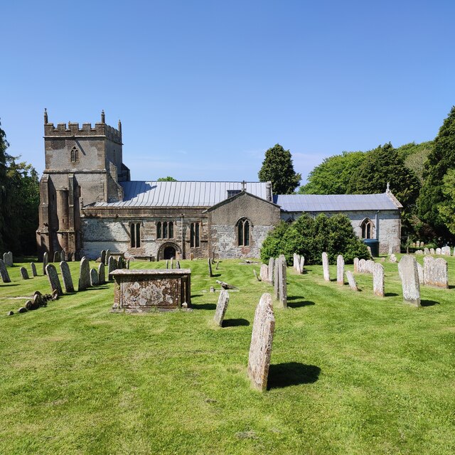
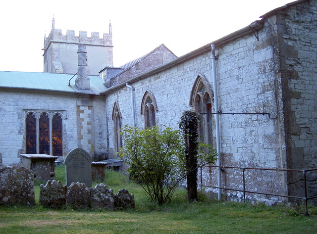
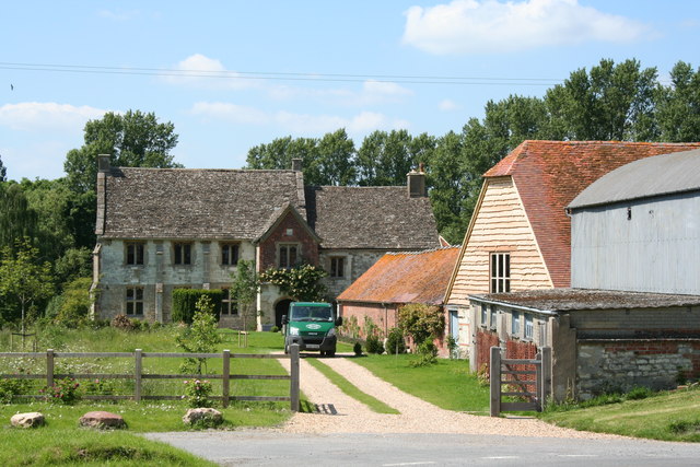
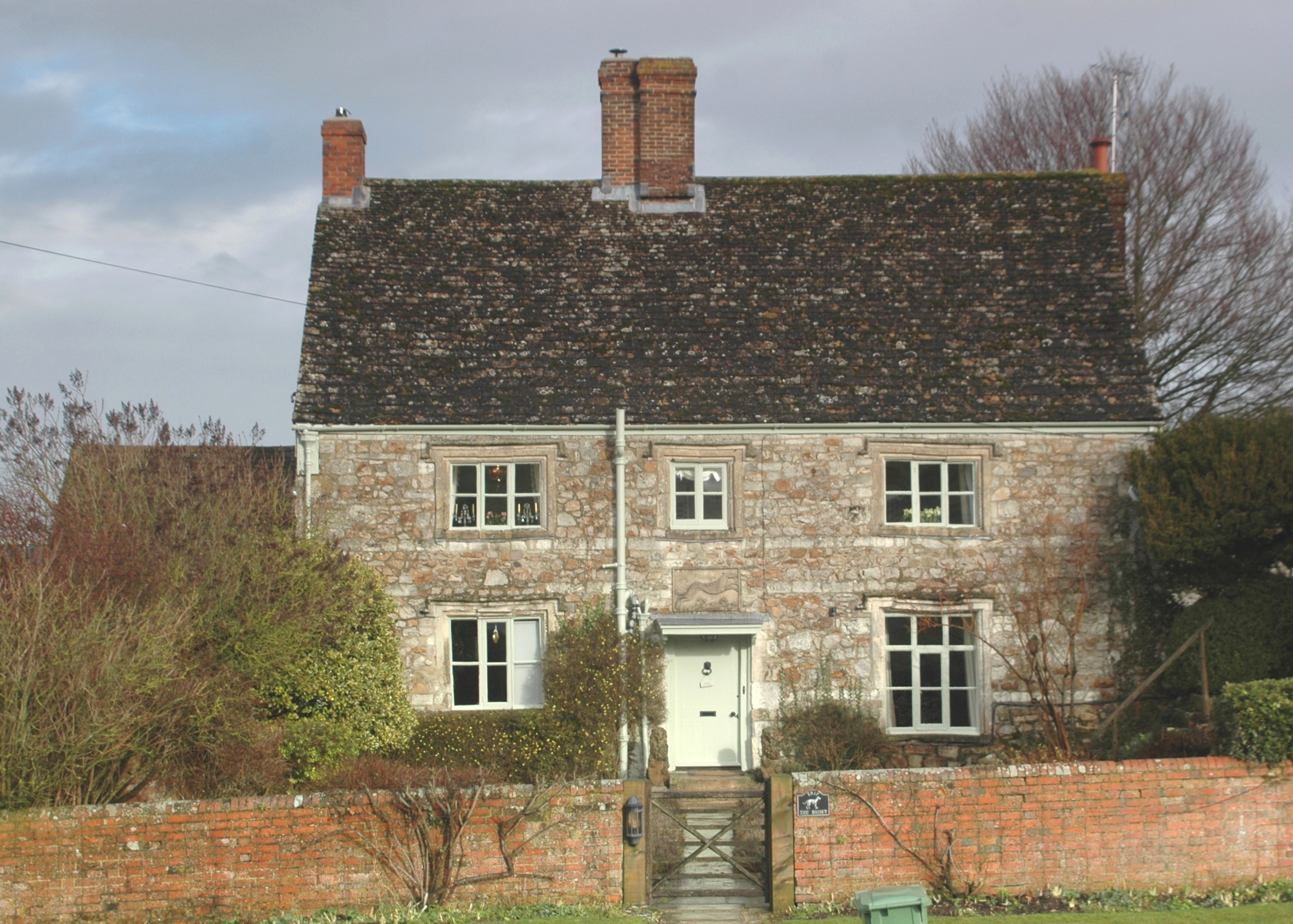
The Manor House, located in the county of Berkshire, is a historic heritage site that boasts a rich and fascinating history. Built in the late 17th century, this stunning mansion is set amidst beautiful landscaped gardens, offering visitors a glimpse into the grandeur and opulence of the past.

The Manor House is renowned for its exquisite architecture, featuring a combination of Jacobean and Georgian styles. Its grand facade, adorned with intricate stonework and elegant columns, is a testament to the craftsmanship of the era. The interior of the house is equally impressive, with lavish rooms decorated with ornate plasterwork, fine furniture, and magnificent chandeliers.

One of the highlights of the Manor House is its extensive art collection, showcasing works from renowned artists throughout the centuries. Visitors can admire masterpieces by painters such as Van Dyck, Gainsborough, and Reynolds, offering a glimpse into the artistic heritage of the region.

In addition to its architectural and artistic treasures, the Manor House also holds significant historical importance. It has been home to several influential families and played a role in various historical events. From housing royal guests to being a hub for political and social gatherings, the house has witnessed centuries of significant moments.

Today, the Manor House is open to the public, offering guided tours that provide an immersive experience in the history and culture of the region. The estate also hosts various events and exhibitions, making it a popular destination for both locals and tourists alike. Whether you are an art enthusiast, history buff, or simply seeking to admire the beauty of a bygone era, the Manor House in Berkshire is a must-visit destination.

If you have any feedback on the listing, please let us know in the comments section below.

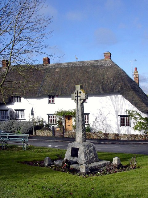
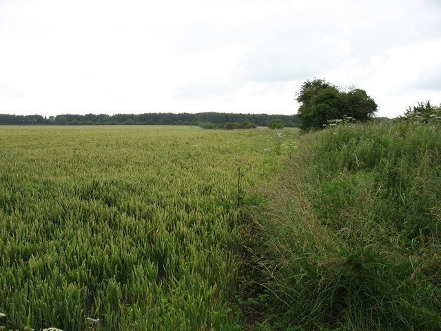
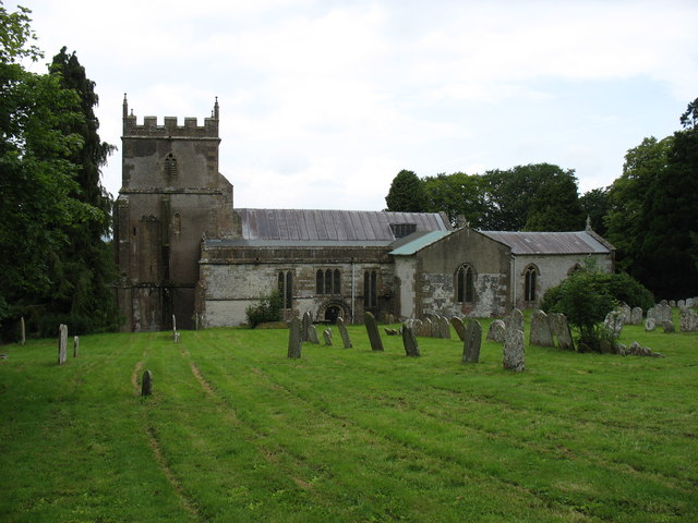
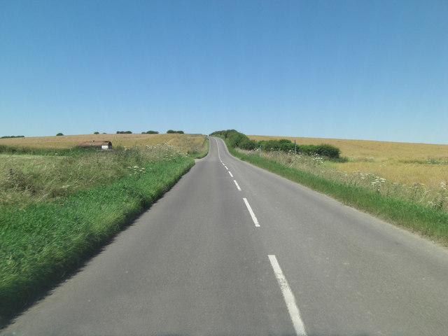
The Manor House Images

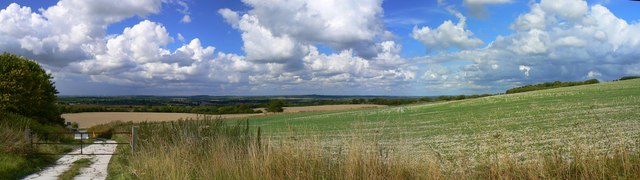
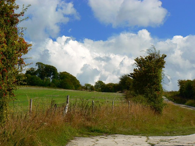
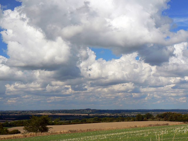
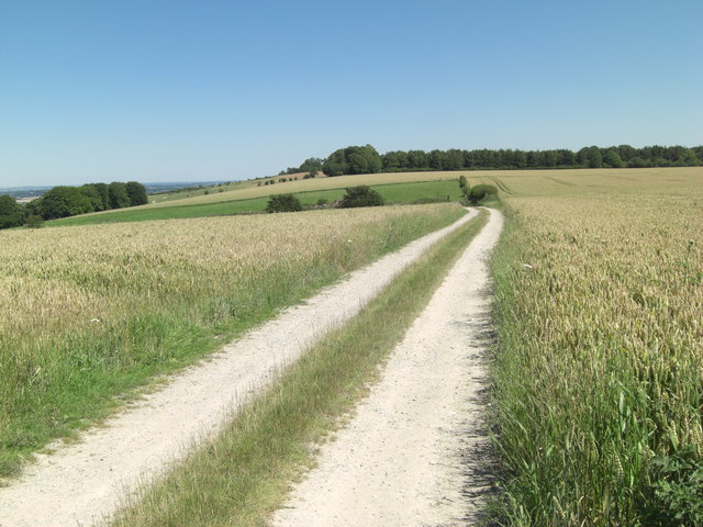
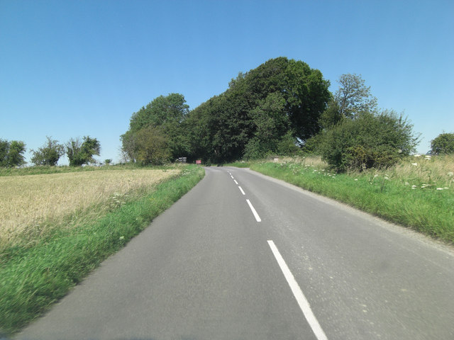
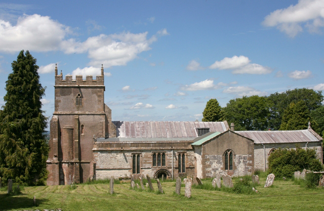
Images are sourced within 2km of 51.567/-1.617 or Grid Reference SU2685. Thanks to Geograph Open Source API. All images are credited.

St Mary's Church, Ashbury
Odstone Coombes
Odstone Coombes
Phone Box Library in Ashbury
Close to Shrivenham
Close to Shrivenham
Panoramic view from D'Arcy Dalton Way, Ashbury D'Arcy Dalton Way is the byway visible at the left. It runs up Odstone Hill from the B4507 back road from Swindon to Wantage. Visible on the full-size version of this image is the Westmill Energy Farm, or the wind turbine component at least <a title="https://www.geograph.org.uk/search.php?i=24279865" href="https://www.geograph.org.uk/search.php?i=24279865">Link</a>
Panoramic view from D'Arcy Dalton Way, Ashbury
D'Arcy Dalton Way is the byway visible at the left. It runs up Odstone Hill from the B4507 back road from Swindon to Wantage. Visible on the full-size version of this image is the Westmill Energy Farm, or the wind turbine component at least Link
Odstone Hill from D'Arcy Dalton Way, Ashbury D'Arcy Dalton Way is a byway leading south-east up Odstone Hill and the Ridgeway Long Distance Path, also a byway up there.
Odstone Hill from D'Arcy Dalton Way, Ashbury
D'Arcy Dalton Way is a byway leading south-east up Odstone Hill and the Ridgeway Long Distance Path, also a byway up there.
Clouds and blue sky over the Vale of the White Horse, Oxfordshire Viewed from the D'Arcy Dalton Way there is this vista of the rather flat Oxfordshire countryside. The clouds are cumulus.
Clouds and blue sky over the Vale of the White Horse, Oxfordshire
Viewed from the D'Arcy Dalton Way there is this vista of the rather flat Oxfordshire countryside. The clouds are cumulus.
Benchmark on St Mary's, Ashbury A crisply cut benchmark on the village church. Unusually, it is located on the far end of the building and not on the tower or near the entrance. Indeed, it is also opposite the road. See <a href="https://www.geograph.org.uk/photo/2586179">SU2684 : St Mary the Virgin, Ashbury</a> for a location shot and <span class="nowrap"><a title="http://www.bench-marks.org.uk/bm37459" rel="nofollow ugc noopener" href="http://www.bench-marks.org.uk/bm37459">Link</a><img style="margin-left:2px;" alt="External link" title="External link - shift click to open in new window" src="https://s1.geograph.org.uk/img/external.png" width="10" height="10"/></span> for the Benchmark Database.
Benchmark on St Mary's, Ashbury
A crisply cut benchmark on the village church. Unusually, it is located on the far end of the building and not on the tower or near the entrance. Indeed, it is also opposite the road. See SU2684 : St Mary the Virgin, Ashbury for a location shot and LinkExternal link for the Benchmark Database.
St Mary the Virgin, Ashbury A view towards dusk of the eastern side, opposite the tower and entrance. A benchmark can be seen here by the railings - <a href="https://www.geograph.org.uk/photo/2586176">SU2684 : Benchmark on St Mary's, Ashbury</a>.
St Mary the Virgin, Ashbury
A view towards dusk of the eastern side, opposite the tower and entrance. A benchmark can be seen here by the railings - SU2684 : Benchmark on St Mary's, Ashbury.
Thatched cottages in the centre of Ashbury
The Manor House in Ashbury
The centre of Ashbury, showing The Rose and Crown and the war memorial
Memorial and Thatched House, Ashbury
Fields by The Ridgeway The Ridgeway, a National Trail, follows the line of bushes leading to the centre of the picture, and then passes through the linear plantation ahead.
Fields by The Ridgeway
The Ridgeway, a National Trail, follows the line of bushes leading to the centre of the picture, and then passes through the linear plantation ahead.
St Mary's church, Ashbury
B4000 after Honeybunch Corner
Track above Kingstone Coombes Situated in the angle between this track and the B4000 is what looks like a Royal Observer Corps post dating from the Cold War period. Volunteer Corps members were destined to enter the secure underground bunker and spot Eastern Block nuclear weapon detonations. Naturally the sites chosen were on good vantage points such as this. Having signed the Official Secrets Act I'm not permitted to show you a picture of the bunker but it's to the left of the photographer.
Track above Kingstone Coombes
Situated in the angle between this track and the B4000 is what looks like a Royal Observer Corps post dating from the Cold War period. Volunteer Corps members were destined to enter the secure underground bunker and spot Eastern Block nuclear weapon detonations. Naturally the sites chosen were on good vantage points such as this. Having signed the Official Secrets Act I'm not permitted to show you a picture of the bunker but it's to the left of the photographer.
B4000 intersection with The Ridgeway
Show me another place!

The Manor House is located at Grid Ref: SU2685 (Lat: 51.567, Lng: -1.617)

Administrative County: Oxfordshire

District: Vale of White Horse

Police Authority: Thames Valley

What 3 Words

///regarding.wool.winded. Near Bishopstone, Wiltshire

Related Wikis

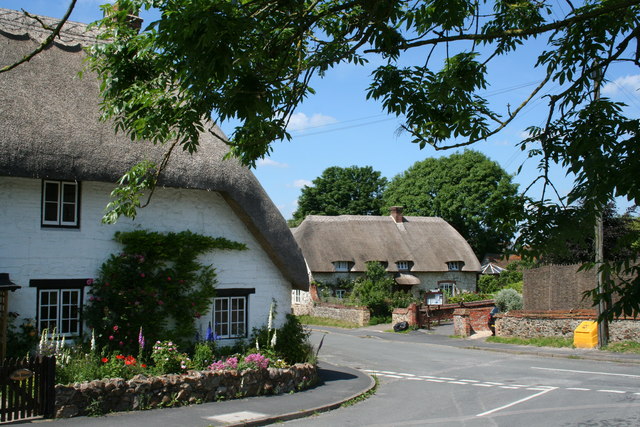
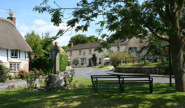
Ashbury, Oxfordshire

Ashbury is a village and large civil parish at the upper end (west) of the Vale of White Horse. It was part of Berkshire until the 1974 boundary changes...
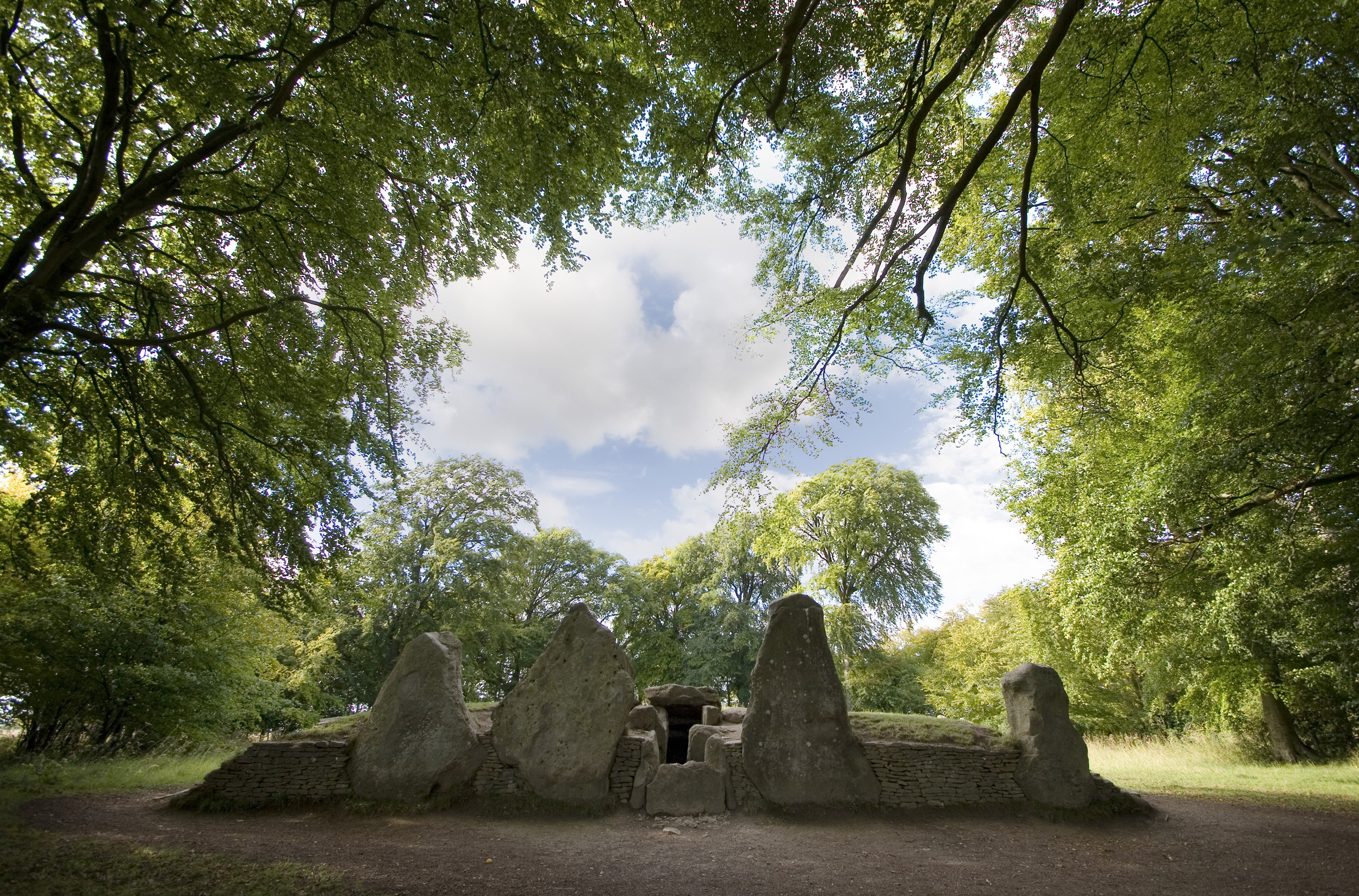
Wayland's Smithy

Wayland's Smithy is an Early Neolithic chambered long barrow located near the village of Ashbury in the south-central English county of Oxfordshire. The...

Idstone

Idstone is a hamlet in the civil parish of Ashbury in the Vale of White Horse. Idstone was part of Berkshire until the 1974 boundary changes transferred...

Compton Beauchamp

Compton Beauchamp is a hamlet and civil parish 3 miles (5 km) southeast of Shrivenham in the Vale of White Horse, England. It was part of Berkshire until...

Hardwell Castle

Hardwell Castle or Hardwell Camp is an Iron Age valley fort in the civil parish of Compton Beauchamp in Oxfordshire (previously Berkshire). == Site... ==

Bishopstone, Swindon

Bishopstone is a village and civil parish in the Borough of Swindon, England, about 6 miles (10 km) east of Swindon, and on the county border with Oxfordshire...
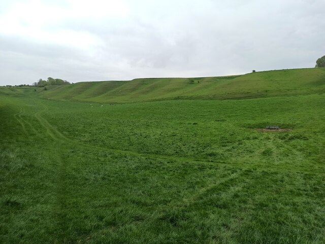
Berkshire Downs

The Berkshire Downs are a range of chalk downland hills in southern England, part of the North Wessex Downs Area of Outstanding Natural Beauty. The Berkshire...

Alfred's Castle

Alfred's Castle is a small Iron Age hill fort, situated at grid reference SU277822, behind Ashdown Park in the civil parish of Ashbury in Oxfordshire...

Nearby Amenities

Located within 500m of 51.567,-1.617
Ashbury
Place: village
Wikidata: Q2497333
Lat/Long: 51.5641493/-1.6196955
Pub
The Rose & Crown Inn
Addr Country: GB
Addr Housenumber: 3
Addr Postcode: SN6 8NA
Addr Street: High Street
Fhrs Id: 264114
Tourism: guest_house
Wheelchair: limited
Lat/Long: 51.5636755/-1.6193652
Bus Stop
Rose and Crown PH
Bus: yes
Naptan AtcoCode: 340000055ORC
Naptan Bearing: E
Naptan BusStopType: CUS
Naptan CommonName: Rose and Crown PH
Naptan Indicator: Opposite
Naptan Landmark: Bus Shetler
Naptan NaptanCode: oxfawmgp
Naptan Street: High Street
Naptan Verified: no
Public Transport: platform
Source: naptan_import
Lat/Long: 51.5639089/-1.6191189
Bus Stop
Rose and Crown PH
Bus: yes
Naptan AtcoCode: 340000055RC
Naptan Bearing: W
Naptan CommonName: Rose and Crown PH
Naptan Indicator: Outside
Naptan Landmark: Bus Shetler
Naptan NaptanCode: oxfamgdj
Naptan Street: High Street
Naptan Verified: no
Public Transport: platform
Source: naptan_import
Lat/Long: 51.5638282/-1.6191628
Post Office
Ashbury Post Office
Addr Postcode: SN6 8NA
Brand: Post Office
Brand Wikidata: Q1783168
Ref Pol Id: 119818
Source: OS OpenData StreetView
Lat/Long: 51.5638585/-1.6186453
Turning Circle
Lat/Long: 51.5662599/-1.6198724
Kingston Winslow
Place: hamlet
Lat/Long: 51.5695416/-1.6214898
Bicycle Parking
Ashbury Village Store
Bicycle Parking: stands
Capacity: 4
Covered: no
Lat/Long: 51.5645916/-1.6173527
Ashbury Village Store
Shop: convenience
Lat/Long: 51.5645766/-1.6174009
Give Way
Source: Bing
Lat/Long: 51.5639841/-1.6205087
Give Way
Source: Bing
Lat/Long: 51.5637875/-1.6207488
Give Way
Source: Bing
Lat/Long: 51.5638635/-1.6202559
Give Way
Source: Bing
Lat/Long: 51.5651263/-1.6199798
Give Way
Source: Bing
Lat/Long: 51.565207/-1.6201325
Give Way
Source: Bing
Lat/Long: 51.5646719/-1.6208982
Give Way
Source: Bing
Lat/Long: 51.5651047/-1.6201514
Give Way
Source: Bing
Lat/Long: 51.5640512/-1.6185366
Give Way
Source: Bing
Lat/Long: 51.5645641/-1.6208877
Give Way
Source: Bing
Lat/Long: 51.566671/-1.6150202
Give Way
Source: Bing
Lat/Long: 51.5669397/-1.6149692
Give Way
Source: Bing
Lat/Long: 51.5640809/-1.6184381
Give Way
Lat/Long: 51.564582/-1.617203
Give Way
Lat/Long: 51.5677207/-1.6231576
Bench
Lat/Long: 51.5696599/-1.621181
Post Box
Post Box Type: lamp
Royal Cypher: EIIR
Royal Cypher Wikidata: Q33102113
Lat/Long: 51.5696558/-1.6211755
Public Bookcase
Booth: K6
Colour: red
Disused Amenity: telephone
Man Made: telephone_box
Public Bookcase Type: phone_box
Lat/Long: 51.5696589/-1.6211675
Advertising: board
Lat/Long: 51.5696593/-1.6211601
Historic: memorial
Memorial: war_memorial
Lat/Long: 51.5638942/-1.6204365
Bench
Lat/Long: 51.5638913/-1.6205311
Information: guidepost
Tourism: information
Lat/Long: 51.5638588/-1.6205243
Post Box
Operator: Royal Mail
Operator Wikidata: Q638098
Post Box Type: pillar
Ref: SN6 179
Royal Cypher: GR
Lat/Long: 51.5639813/-1.6185106
The data included in this document is from www.openstreetmap.org. The data is made available under ODbL.

Have you been to The Manor House?

Leave your review of The Manor House below (or comments, questions and feedback).