The Devil's Highway

Heritage Site in Berkshire

England

The Devil's Highway

The Street, Eversley At the end of Warbrook Lane
The Street, Eversley Credit: David Howard

The Devil's Highway, Berkshire, is a renowned heritage site located in the southern part of England. This ancient trackway stretches for approximately 23 miles, running across the breathtaking Berkshire Downs. Its name originates from the folk legend that it was once used by the devil himself to travel between the sacred sites of the region.

The Devil's Highway is believed to be an ancient prehistoric route, dating back thousands of years to the Bronze Age. It is thought to have been an important trade and communication route for the local communities during that time. Today, the trackway is still visible as a series of interconnected earthworks, ditches, and embankments, which provide a glimpse into its historical significance.

This heritage site attracts visitors from all over the world, offering them a chance to explore the rich archaeological heritage of the region. The Devil's Highway offers stunning panoramic views of the surrounding countryside, with its undulating hills and picturesque landscapes.

Visitors can embark on a journey along the Devil's Highway, following in the footsteps of ancient travelers. The trail offers opportunities for walking, hiking, and horseback riding, allowing visitors to immerse themselves in the natural beauty of the area while discovering its historical importance.

With its unique blend of history, folklore, and natural beauty, the Devil's Highway in Berkshire stands as a remarkable testament to the ancient past of the region. It continues to captivate and inspire visitors, offering a glimpse into the lives of those who traversed this ancient route centuries ago.

If you have any feedback on the listing, please let us know in the comments section below.

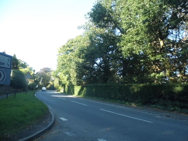
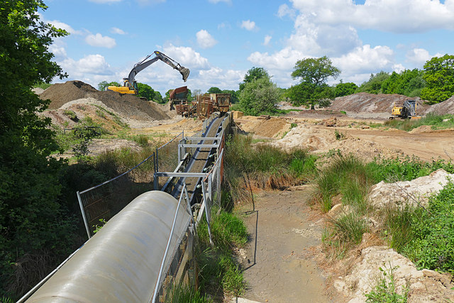
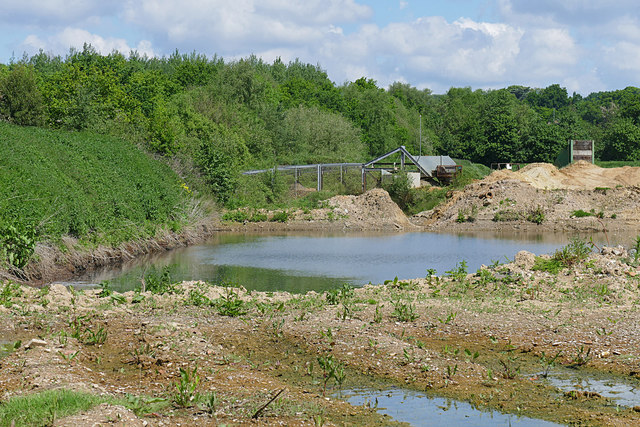
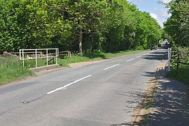
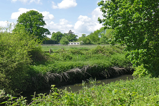
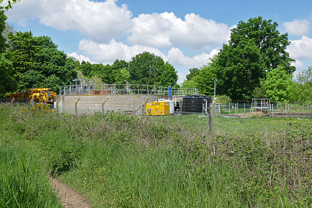
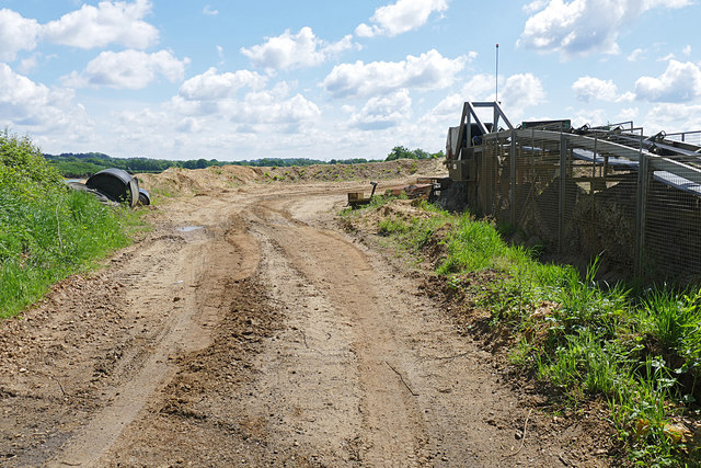
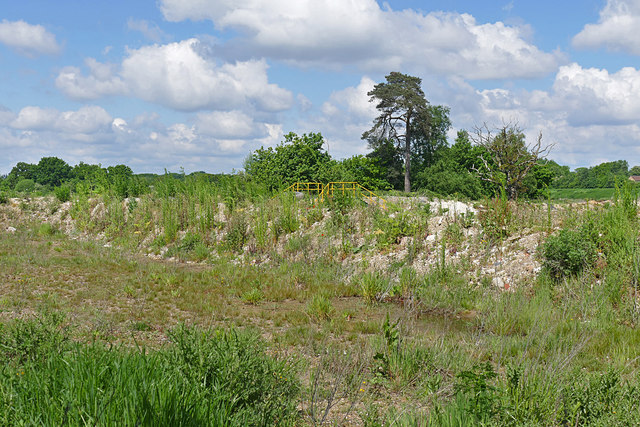
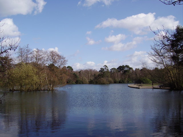
The Devil's Highway Images

Images are sourced within 2km of 51.365/-0.872 or Grid Reference SU7863. Thanks to Geograph Open Source API. All images are credited.

The Street, Eversley At the end of Warbrook Lane
The Street, Eversley
At the end of Warbrook Lane
The White Hart, Eversley I have been here before <a title="https://www.geograph.org.uk/photo/4359918" href="https://www.geograph.org.uk/photo/4359918">Link</a>
The White Hart, Eversley
I have been here before Link
Bend on Reading Road, Eversley
Houses on Reading Road, Eversley
Eversley Telephone Exchange (1) Situated off the A327 Reading Road, this TE is of a standard design dating from the late 1960s and has the code THEV. It serves 4,427 residential and 229 non-residential premises in Eversley, plus Eversley Centre, Eversley Cross, Farley Hill, Finchampstead, Lower Common and Nine Mile Ride nearby. Like many other TEs, this TE has a yellow grit salt bin provided for use in wintry weather. The numbering range of this TE is (01189) 73xxxx, the (01189) referring to the Reading group of TEs, and its postcode is RG40 4RA.
Eversley Telephone Exchange (1)
Situated off the A327 Reading Road, this TE is of a standard design dating from the late 1960s and has the code THEV. It serves 4,427 residential and 229 non-residential premises in Eversley, plus Eversley Centre, Eversley Cross, Farley Hill, Finchampstead, Lower Common and Nine Mile Ride nearby. Like many other TEs, this TE has a yellow grit salt bin provided for use in wintry weather. The numbering range of this TE is (01189) 73xxxx, the (01189) referring to the Reading group of TEs, and its postcode is RG40 4RA.
Eversley Telephone Exchange (2) This photo shows one side of this TE with a notice that says: "DO NOT STAND ON OR OBSTRUCT THIS ESCAPE HATCH". A manhole cover can be seen under the notice with one rail at each side.
Eversley Telephone Exchange (2)
This photo shows one side of this TE with a notice that says: "DO NOT STAND ON OR OBSTRUCT THIS ESCAPE HATCH". A manhole cover can be seen under the notice with one rail at each side.
Eversley Telephone Exchange (3) This close-up photo of the front of this TE shows the floodlight which came on whilst I was taking this photo. The notice below it has the following wording in red lettering: 
                                       NOTE
  BEFORE WORKING ON THE ROOF PLEASE NOTE THAT THE FELT COVERING HAS A 15 YEAR GUARANTEE FROM 14TH OCTOBER 2005. GUIDANCE SHOULD BE OBTAINED AS TO WHAT WORK IS PERMITTED UNDER THE TERMS OF THE GUARANTEE AND WHO SHOULD CARRY OUT THE WORK.

 A letterbox can also be seen to the right of the entrance although it probably gets very little post these days apart from electricity bills to cover the cost of running this TE 24/7.
Eversley Telephone Exchange (3)
This close-up photo of the front of this TE shows the floodlight which came on whilst I was taking this photo. The notice below it has the following wording in red lettering: NOTE BEFORE WORKING ON THE ROOF PLEASE NOTE THAT THE FELT COVERING HAS A 15 YEAR GUARANTEE FROM 14TH OCTOBER 2005. GUIDANCE SHOULD BE OBTAINED AS TO WHAT WORK IS PERMITTED UNDER THE TERMS OF THE GUARANTEE AND WHO SHOULD CARRY OUT THE WORK. A letterbox can also be seen to the right of the entrance although it probably gets very little post these days apart from electricity bills to cover the cost of running this TE 24/7.
Fleethill Gravel Pit near Yateley The conveyer which runs under the B3016 to the processing plant at Manor Farm, a distance of 1.3Km
Fleethill Gravel Pit near Yateley
The conveyer which runs under the B3016 to the processing plant at Manor Farm, a distance of 1.3Km
Manor Farm gravel pit near Yateley The western end of the pit near the B3016. The pond was once part of a much larger lake which has been infilled. This area is designated to become a nature reserve once operations have ceased, possibly passing to the RSPB.
Manor Farm gravel pit near Yateley
The western end of the pit near the B3016. The pond was once part of a much larger lake which has been infilled. This area is designated to become a nature reserve once operations have ceased, possibly passing to the RSPB.
B3016, Longwater Road The road running from Eversley Cross to Finchampstead. The bridge is an underpass for the mineral conveyor belt from the Fleethill gravel pit on the left to the Manor Farm processing plant south of the River Blackwater.
B3016, Longwater Road
The road running from Eversley Cross to Finchampstead. The bridge is an underpass for the mineral conveyor belt from the Fleethill gravel pit on the left to the Manor Farm processing plant south of the River Blackwater.
River Blackwater near Eversley Cross The view across the Blackwater towards the farmland near Eversley Cross.
River Blackwater near Eversley Cross
The view across the Blackwater towards the farmland near Eversley Cross.
Sewage works near Eversley Cross The filter beds of this small sewage farm off the B3016 near Eversley Cross.
Sewage works near Eversley Cross
The filter beds of this small sewage farm off the B3016 near Eversley Cross.
Manor Farm gravel pit The entrance to Manor Farm gravel pit off the B3016. The conveyor belt running across the site is on the right.
Manor Farm gravel pit
The entrance to Manor Farm gravel pit off the B3016. The conveyor belt running across the site is on the right.
Manor Farm gravel pit The dried up lake bed along the Blackwater Valley path which runs across the site following the course of the river. Large flocks of finches frequent these beds.
Manor Farm gravel pit
The dried up lake bed along the Blackwater Valley path which runs across the site following the course of the river. Large flocks of finches frequent these beds.
Bridge, Manor Farm A vehicle bridge over the mineral conveyor belt in the Manor Farm gravel pit near Yateley.
Bridge, Manor Farm
A vehicle bridge over the mineral conveyor belt in the Manor Farm gravel pit near Yateley.
Manor Farm gravel pit A transfer station where the mineral conveyor belt takes a change of direction. The conveyor which runs for 1.3Km has a number of transfer stations along its length.
Manor Farm gravel pit
A transfer station where the mineral conveyor belt takes a change of direction. The conveyor which runs for 1.3Km has a number of transfer stations along its length.
Fleethill Farm gravel pit entrance The entrance to the Fleethill Farm gravel pit off the B3016 near Finchampstead.
Fleethill Farm gravel pit entrance
The entrance to the Fleethill Farm gravel pit off the B3016 near Finchampstead.
River Blackwater, Eversley Cross Looking across the Blackwater towards one of the houses on the B3016 in Eversley Cross.
River Blackwater, Eversley Cross
Looking across the Blackwater towards one of the houses on the B3016 in Eversley Cross.
Show me another place!

The Devil's Highway is located at Grid Ref: SU7863 (Lat: 51.365, Lng: -0.872)

Unitary Authority: Wokingham

Police Authority: Thames Valley

What 3 Words

///caressed.summaries.seats. Near Finchampstead, Berkshire

Related Wikis

Memorial Ground, Finchampstead

The Memorial Ground (also known as Finchampstead Park) is a cricket ground in Finchampstead, Berkshire, England. The ground is located at the northern...

Finchampstead F.C.

Finchampstead Football Club is a football club based in Finchampstead, Berkshire, England. They are currently members of the Thames Valley Premier League...

Finchampstead

Finchampstead is a village and civil parish in the Wokingham Borough in the shire of Berkshire, England. Its northern extremity is 2 miles (3 km) south...

Shepperlands Farm

Shepperlands Farm is a 10-hectare (25-acre) nature reserve north-west of Finchampstead in Berkshire. It is managed by the Berkshire, Buckinghamshire and...

California, Berkshire

California is a village in the north of the civil parish of Finchampstead in the English county of Berkshire. It is situated approximately 1.9 mi (3.1...

California Country Park

California Country Park is a 100-acre (40 ha) country park covering Long Moor at California in the north of the civil parish of Finchampstead in the English...

Longmoor Bog

Longmoor Bog is a 14-hectare (35-acre) biological Site of Special Scientific Interest north of Finchampstead in Berkshire. An area of 11.8 hectares (29...

Eversley Centre

Eversley Centre is a village in the Hart District of Hampshire, England. Its nearest town is Yateley, approximately 2 miles (2.5 km) away from the village...

Nearby Amenities

Located within 500m of 51.365,-0.872
Turning Circle
Lat/Long: 51.3648791/-0.8683916
The data included in this document is from www.openstreetmap.org. The data is made available under ODbL.

Have you been to The Devil's Highway?

Leave your review of The Devil's Highway below (or comments, questions and feedback).