Tatton Park
Heritage Site in Cheshire
England
Tatton Park
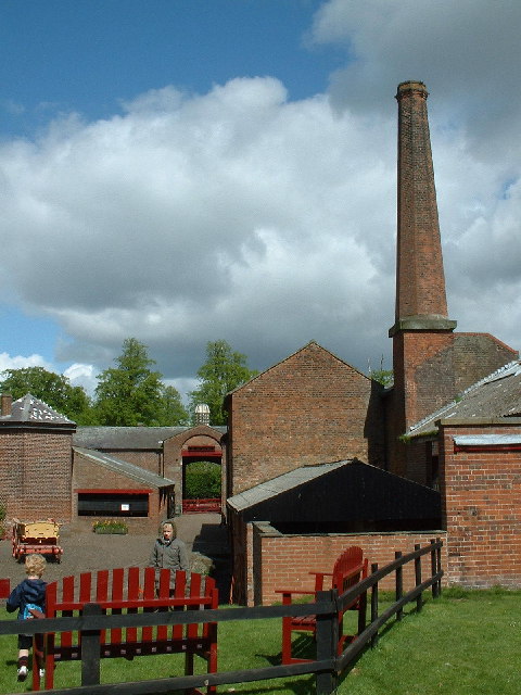
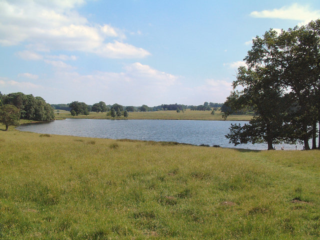
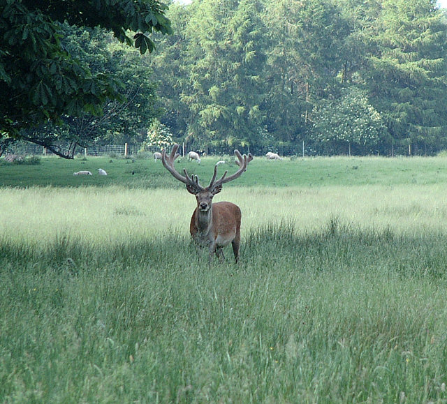
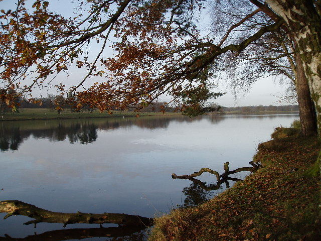
Tatton Park is a historic estate located in Cheshire, England. Covering an area of approximately 1,000 acres, it is a popular heritage site that attracts visitors from all over the world. The estate is divided into three main areas: the 18th-century mansion, the vast gardens, and the deer park.
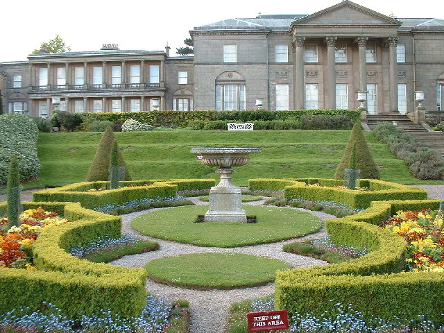
The mansion, known as Tatton Hall, was constructed in the late 18th century and is a prime example of Neo-Classical architecture. It houses a significant collection of fine art and antique furniture, giving visitors a glimpse into the opulent lifestyle of the past. The mansion is open for guided tours, allowing visitors to explore its lavish rooms and learn about the history of the estate.
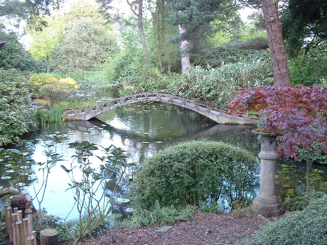
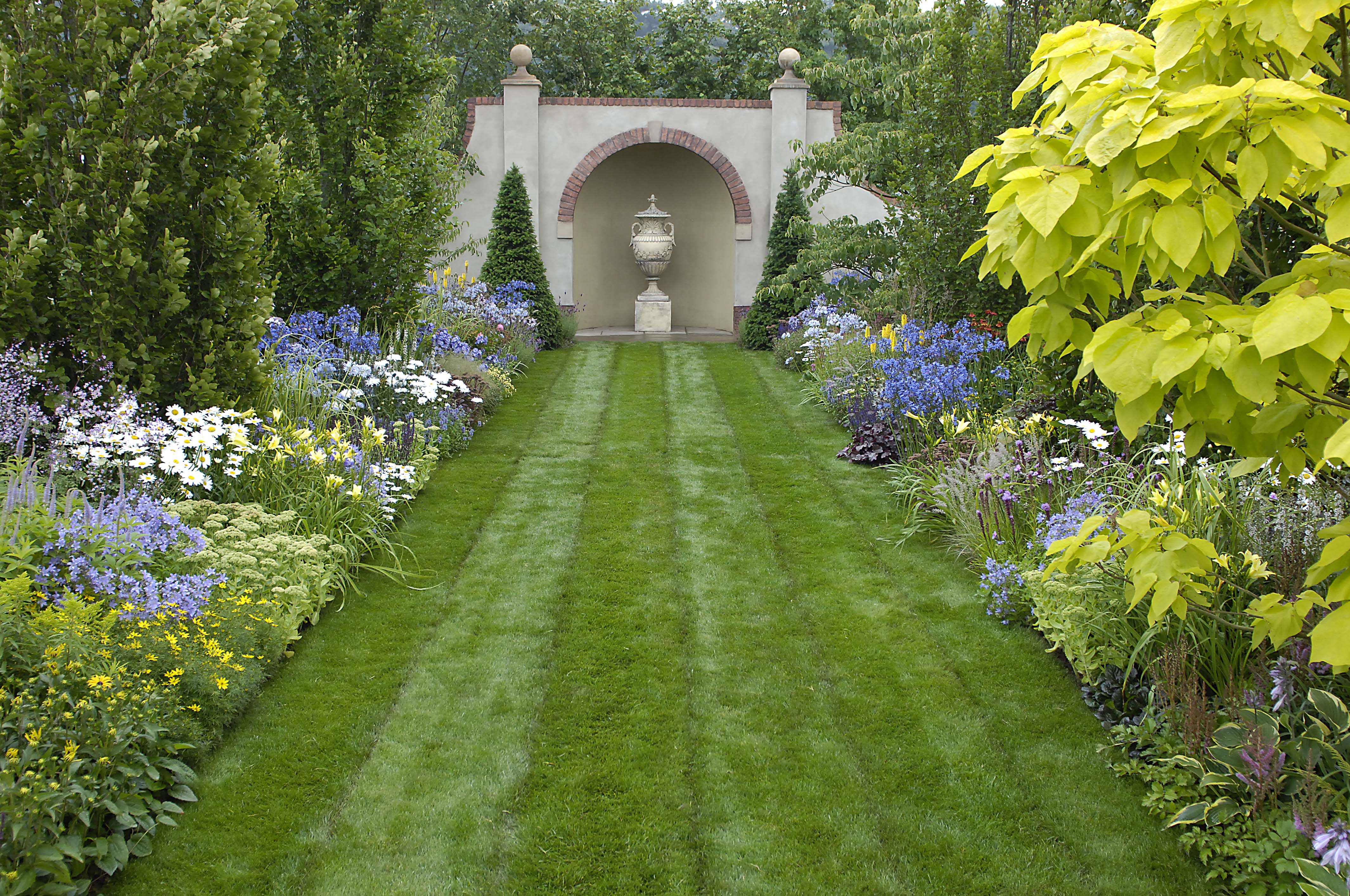
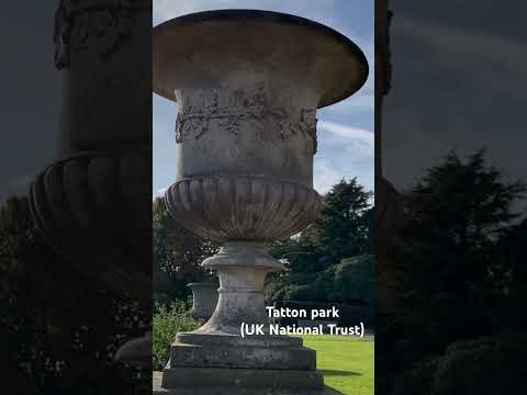
The gardens at Tatton Park are equally impressive, with various sections that showcase different styles and eras. The Japanese garden, Italian garden, and rose garden are just a few examples of the stunning horticultural displays found within the estate. Additionally, the gardens also feature a unique maze and a working kitchen garden, where visitors can see a variety of fruits, vegetables, and herbs being grown.
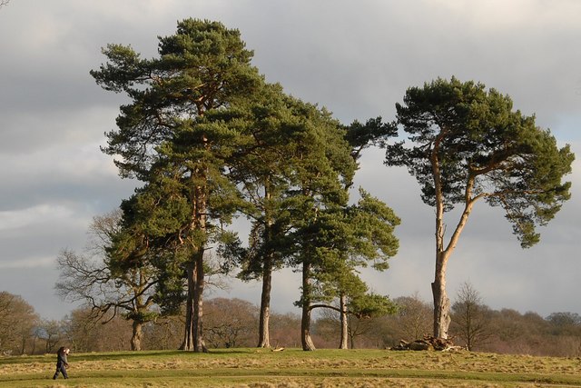
The deer park is a vast expanse of open grassland that is home to a large herd of red and fallow deer. Visitors can enjoy leisurely walks or bike rides through the park, observing the elegant deer in their natural habitat. There are also designated picnic areas and a children's play area within the park.
Overall, Tatton Park offers a rich and immersive experience for history enthusiasts, nature lovers, and families alike. With its beautiful mansion, stunning gardens, and picturesque deer park, it is a must-visit destination for anyone interested in Cheshire's heritage.
If you have any feedback on the listing, please let us know in the comments section below.
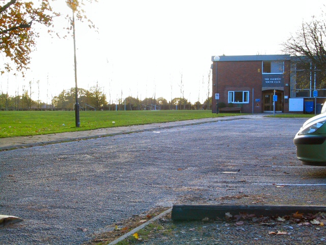
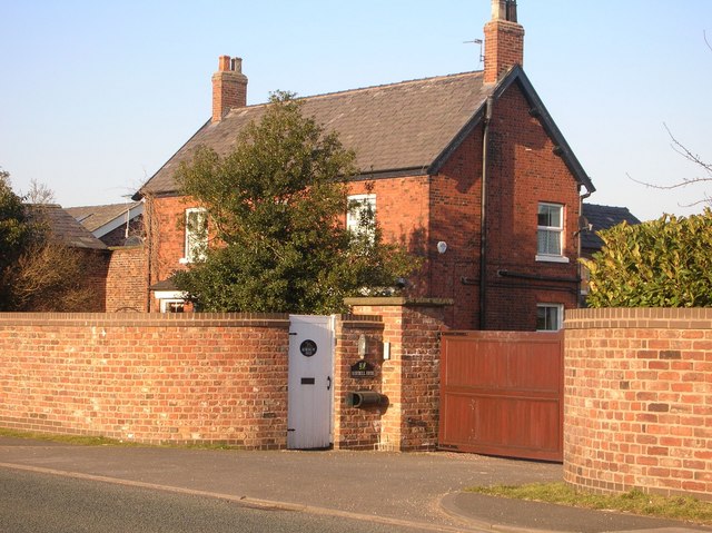
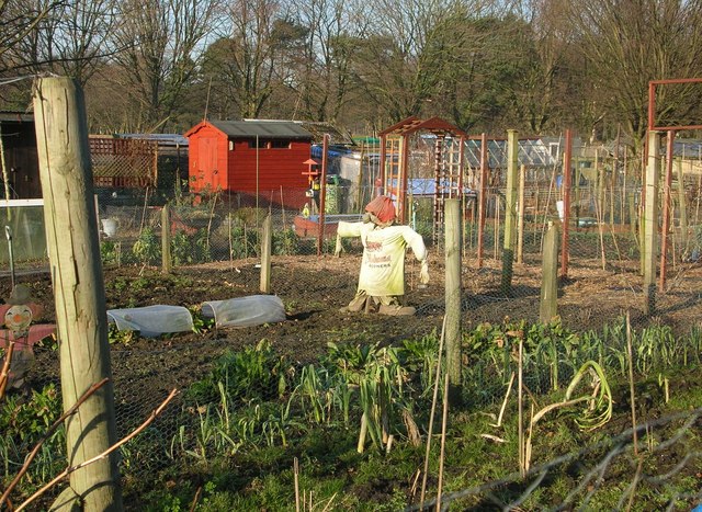
Tatton Park Images
Images are sourced within 2km of 53.33/-2.384 or Grid Reference SJ7481. Thanks to Geograph Open Source API. All images are credited.


Tatton Park is located at Grid Ref: SJ7481 (Lat: 53.33, Lng: -2.384)
Unitary Authority: Cheshire East
Police Authority: Cheshire
What 3 Words
///printouts.career.education. Near Mere, Cheshire
Nearby Locations
Related Wikis
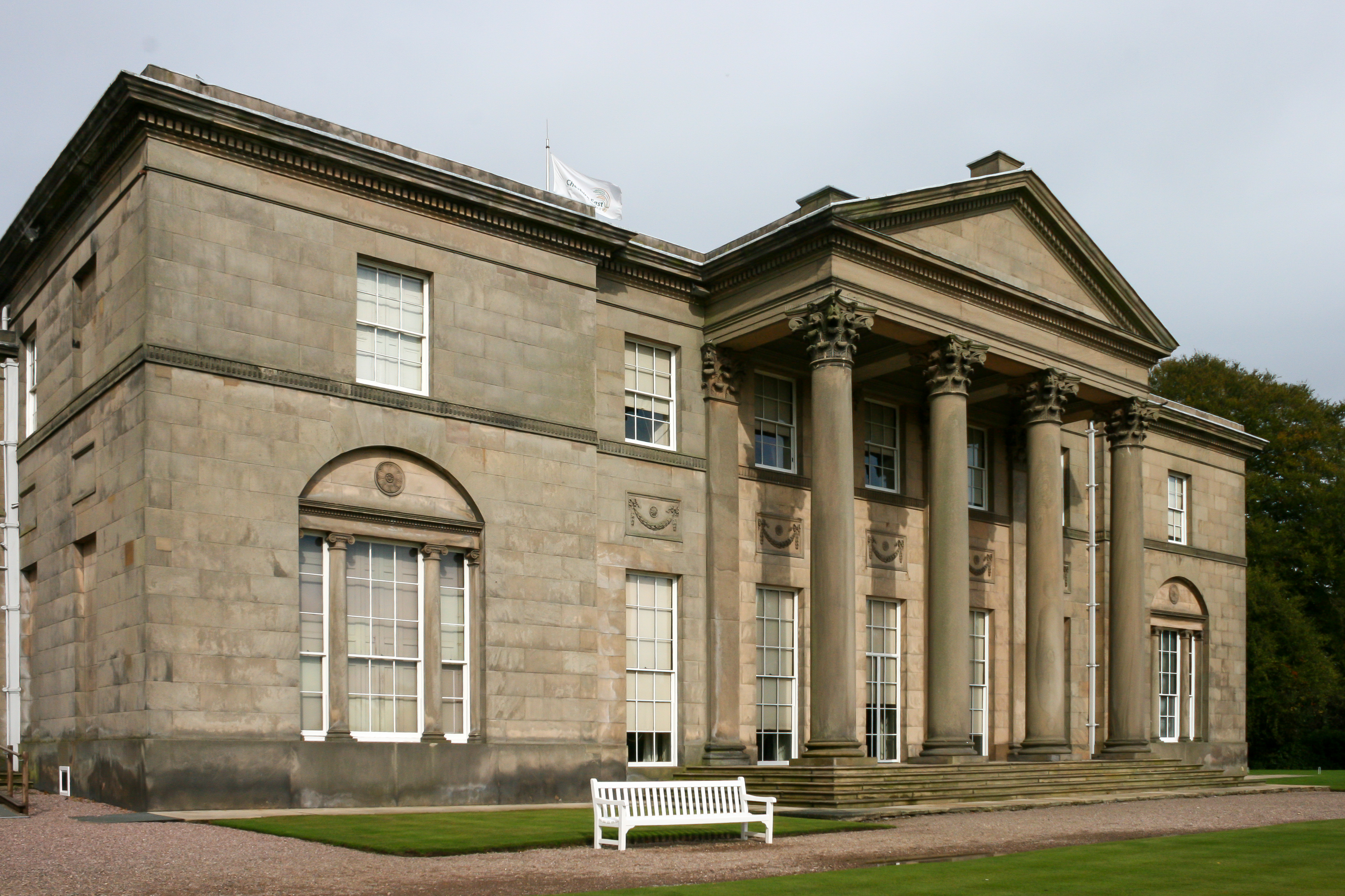
Tatton Hall
Tatton Hall is a country house in Tatton Park near Knutsford, Cheshire, England. It is designated as a Grade I listed building and is open to the public...

Tatton Park
Tatton Park is a historic estate in Cheshire, England, north of the town of Knutsford. It contains a mansion, Tatton Hall; a medieval manor house, Tatton...
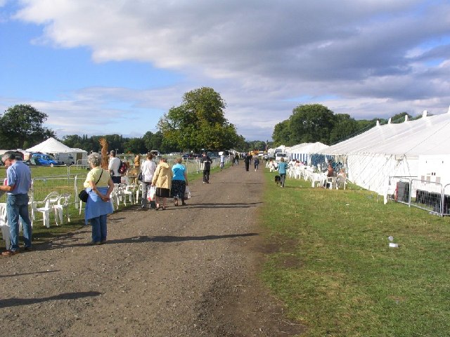
Tatton Park Flower Show
RHS Flower Show Tatton Park held at Tatton Park, near Knutsford, Cheshire, first began in 1999 by the Royal Horticultural Society. The show houses the...
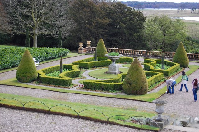
Tatton Park Gardens
Tatton Park Gardens consist of formal and informal gardens in Tatton Park to the south of Tatton Hall, Cheshire, England (grid reference SJ744814). Included...
Tatton, Cheshire
Tatton is a former civil parish, now in the parish of Millington and Rostherne, in the Cheshire East district and ceremonial county of Cheshire in England...

Tatton Old Hall
Tatton Old Hall is a historic building in Tatton Park near Knutsford, Cheshire, England. It is designated by English Heritage as a Grade II* listed building...

Mere New Hall
Mere New Hall stood to the east of the village of Mere and the junction of the A566 and A50 roads in Cheshire, England. It was largely destroyed by fire...

Mere, Cheshire
Mere is a civil parish and linear village along the old course of the A556 road in the unitary authority of Cheshire East and the ceremonial county of...
Related Videos

Best Place In England TATTON Park Knutsfort 4K Video MANCHESTER Walking Around
Take a virtual Walk With Us as we witness the beauty of Tatton Park. #Tattonpark #knutsfort #manchester #walkwithus ...

Walking to The Courtyard
Even when the weather is typically British, walking from busy King Street to the serenity of The Courtyard is still delightful.

Tatton Park
A Walk In This Vast Park.
Nearby Amenities
Located within 500m of 53.33,-2.384Have you been to Tatton Park?
Leave your review of Tatton Park below (or comments, questions and feedback).