Sunnycroft

Heritage Site in Shropshire

England

Sunnycroft

Wellington Market Street
Wellington Market Street Credit: Roy Hughes

Sunnycroft is a charming Victorian villa located in Wellington, Shropshire, England. Built in 1880, the house serves as a testament to the opulence and elegance of the late Victorian period. The property, now owned and maintained by the National Trust, is considered a significant heritage site.

Set in a beautifully landscaped garden, Sunnycroft offers visitors a glimpse into the life of a Victorian family. The house features well-preserved original interiors, showcasing the exquisite taste and craftsmanship of the period. Intricate woodwork, decorative wallpapers, and ornate fireplaces are just some of the highlights of this meticulously restored villa.

The garden surrounding Sunnycroft is equally impressive, with its manicured lawns, vibrant flowerbeds, and a charming kitchen garden filled with herbs and vegetables. Visitors can enjoy a leisurely stroll through the garden, taking in the tranquility and beauty of the surroundings.

In addition to the house and garden, Sunnycroft also offers a quaint tearoom, where visitors can indulge in homemade cakes and refreshments. The tearoom provides a perfect spot to relax and soak up the peaceful ambiance of the estate.

Sunnycroft is not only a visual delight but also an educational experience. The knowledgeable staff and volunteers at the site offer guided tours, sharing stories and insights into the history and significance of the property.

Overall, Sunnycroft is a captivating heritage site that provides a fascinating glimpse into Victorian life. Its well-preserved interiors, stunning garden, and knowledgeable staff make it a must-visit destination for history and architecture enthusiasts alike.

If you have any feedback on the listing, please let us know in the comments section below.

Sunnycroft Images

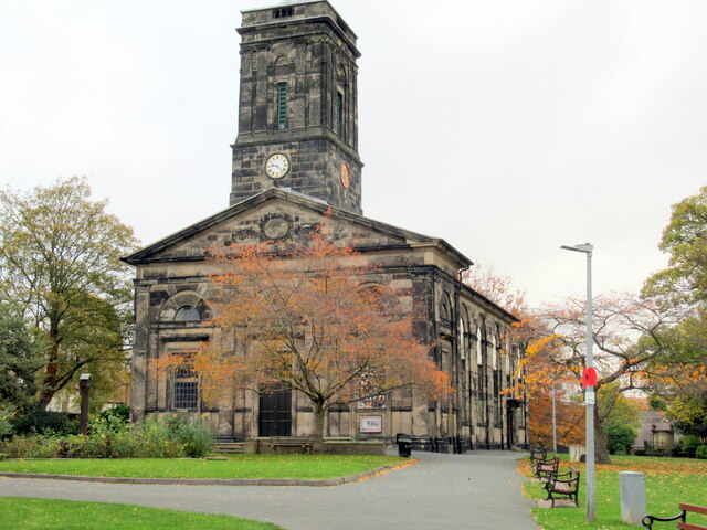
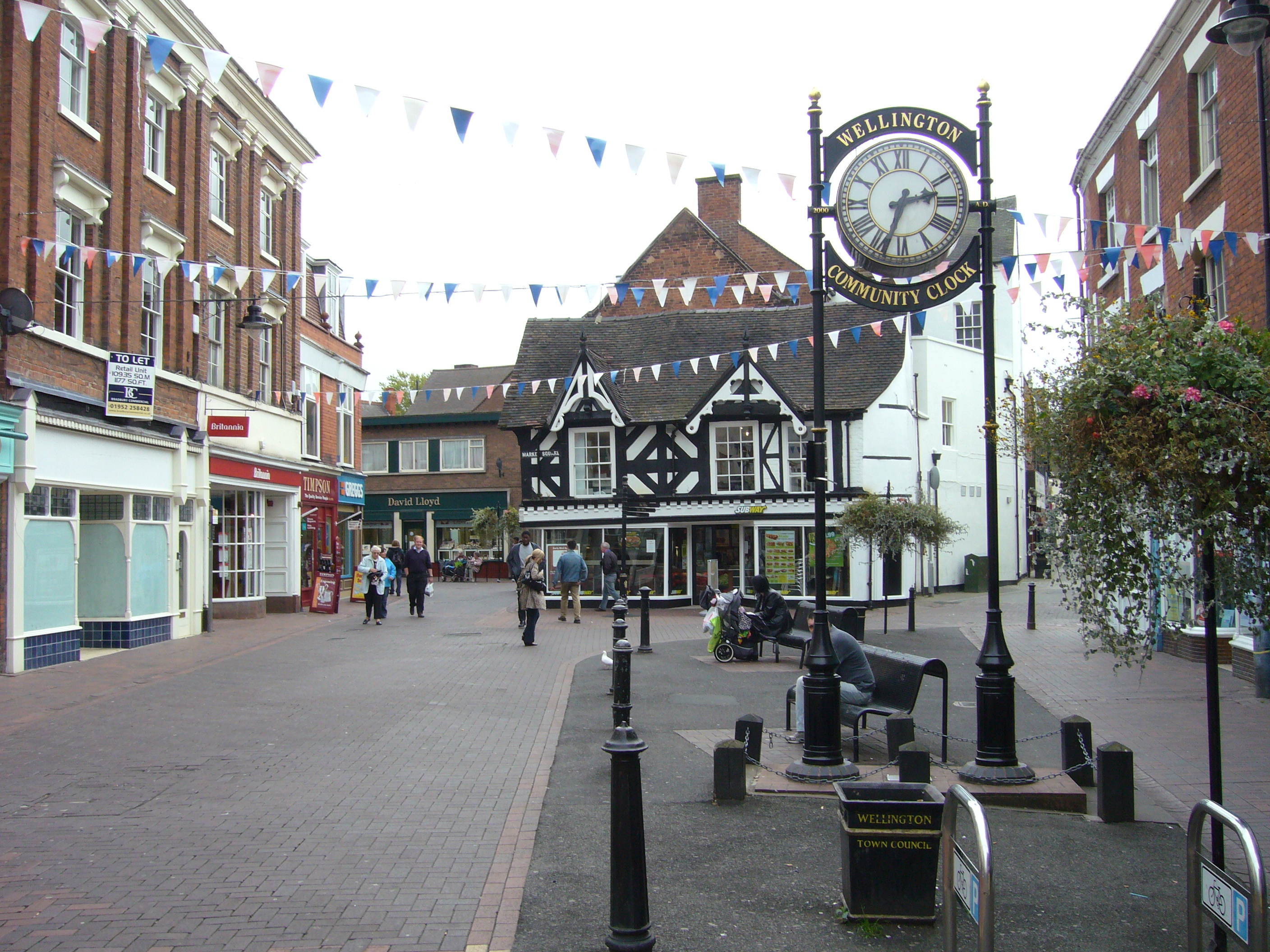
Images are sourced within 2km of 52.695/-2.516 or Grid Reference SJ6510. Thanks to Geograph Open Source API. All images are credited.

Wellington Market Street
Market Street Wellington
Walker Street Wellington
Station Road Wellington
The Parish Church of All Saints, Wellington
Wellington station with 6233 The Duchess of Sutherland approaching
6233 The Duchess of Sutherland passing Wellington station
Princess Royal Hospital Culvert Benchmark The Ordnance Survey Rivet Benchmark set into the drainage culvert adjacent to the Princess Royal Hospital in Telford. It is 3-metres from the footpath. Grid Reference SJ 65516 12674. The recorded AODN is 85.74-metres. It was levelled and verified by the OS in 1984.
Princess Royal Hospital Culvert Benchmark
The Ordnance Survey Rivet Benchmark set into the drainage culvert adjacent to the Princess Royal Hospital in Telford. It is 3-metres from the footpath. Grid Reference SJ 65516 12674. The recorded AODN is 85.74-metres. It was levelled and verified by the OS in 1984.
Grainger Drive Subway Parapet Benchmark The Ordnance Survey Rivet Benchmark set into the parapet of a subway on Grainger Drive, Leegomery, Telford. It was both levelled and (last) verified by the OS in 1984. The recorded AODN is 79.61-metres
Grainger Drive Subway Parapet Benchmark
The Ordnance Survey Rivet Benchmark set into the parapet of a subway on Grainger Drive, Leegomery, Telford. It was both levelled and (last) verified by the OS in 1984. The recorded AODN is 79.61-metres
Former barns east of the Falcon Inn These conversions have the look of former barns, and were presumably part of the farm buildings at The Old Orleton Inn, when it was Haygate Farmhouse in the mid 19th century.
Former barns east of the Falcon Inn
These conversions have the look of former barns, and were presumably part of the farm buildings at The Old Orleton Inn, when it was Haygate Farmhouse in the mid 19th century.
Haybridge Road Railway Bridge Benchmark The Ordnance Survey Rivet Benchmark set into the railway bridge on Haybridge Road, Wellington, Telford. The Benchmark was first levelled in 1874. It was last levelled in 1958 with a Second Order of accuracy. The Benchmark was last verified by the OS in 1984
Haybridge Road Railway Bridge Benchmark
The Ordnance Survey Rivet Benchmark set into the railway bridge on Haybridge Road, Wellington, Telford. The Benchmark was first levelled in 1874. It was last levelled in 1958 with a Second Order of accuracy. The Benchmark was last verified by the OS in 1984
Roundabout outside Morrison's supermarket At the junction of Bridge Road, Spring Hill and Vineyard Road
Roundabout outside Morrison's supermarket
At the junction of Bridge Road, Spring Hill and Vineyard Road
Spring Hill north of Morrison's supermarket Spring Hill heads west out of Wellington in the general direction of Wrockwardine and Admaston.
Spring Hill north of Morrison's supermarket
Spring Hill heads west out of Wellington in the general direction of Wrockwardine and Admaston.
North Road at the junction with Vineyard Place
Supermarket carpark Customer parking outside the Morrison's supermarket in Wellington
Supermarket carpark
Customer parking outside the Morrison's supermarket in Wellington
Vineyard Place in Wellington A newish development of houses just north of Spring Hill and Vineyard Road.
Vineyard Place in Wellington
A newish development of houses just north of Spring Hill and Vineyard Road.
East along Vineyard Road in Wellington
Houses on Vineyard Drive in Wellington
Show me another place!

Sunnycroft is located at Grid Ref: SJ6510 (Lat: 52.695, Lng: -2.516)

Unitary Authority: Telford and Wrekin

Police Authority: West Mercia

What 3 Words

///drove.epic.nerd. Near Wellington, Shropshire

Nearby Locations

Old Hall Pool Sunnycroft

Related Wikis

Sunnycroft

Sunnycroft is a Victorian suburban villa, located in Wellington, Shropshire. == Location == Located in the market town of Wellington, Shropshire, England...

Ercall Wood Academy

Ercall Wood Academy is a co-educational secondary school located in Wellington in the English county of Shropshire.It is an academy converter and is a...

Wellington, Shropshire

Wellington is a constituent market town of Telford and a civil parish in the borough of Telford and Wrekin, Shropshire, England. It is situated 3 miles...

New College, Telford

New College Telford was a sixth form college situated in Wellington, an area within Telford, Shropshire, England. During December 2017 the merger between...

Nearby Amenities

Located within 500m of 52.695,-2.516
Mini Roundabout
Direction: clockwise
Lat/Long: 52.6982659/-2.5123691
Turning Circle
Lat/Long: 52.6992648/-2.5163157
Turning Circle
Lat/Long: 52.6981644/-2.5138966
Perry's Cycles
Addr City: Telford
Addr Housenumber: 33
Addr Postcode: TF1 1HJ
Addr Street: Tan Bank
Addr Suburb: Wellington
Opening Hours: Mo,Tu,Th,Fr,Sa 08:30-16:00
Shop: bicycle
Source: Local knowledge
Lat/Long: 52.6993131/-2.5173331
Mini Roundabout
Direction: clockwise
Lat/Long: 52.6984206/-2.519724
Crossing
Crossing: unmarked
Tactile Paving: yes
Lat/Long: 52.6982108/-2.5197417
Recycling
Recycling Cans: yes
Recycling Glass: yes
Recycling Paper: yes
Recycling Textiles: yes
Lat/Long: 52.6993563/-2.5164878
Turning Circle
Lat/Long: 52.6985217/-2.5116659
Police
Wellington Police Station
Lat/Long: 52.6979615/-2.516538
Crossing
Crossing: unmarked
Tactile Paving: yes
Lat/Long: 52.6985855/-2.5177528
Turning Circle
Lat/Long: 52.6974938/-2.512842
Turning Circle
Note: survey
Lat/Long: 52.6962114/-2.5150295
Crossing
Crossing: unmarked
Crossing Island: no
Kerb: flush
Tactile Paving: no
Lat/Long: 52.697467/-2.5180023
Turning Circle
Lat/Long: 52.6942837/-2.5211741
Turning Circle
Lat/Long: 52.6956027/-2.5205599
Pub
The Wrekin Inn
Food: yes
Lat/Long: 52.6980674/-2.5200358
Pub
The Wickets Inn
Addr City: Telford
Addr Housenumber: 240
Addr Postcode: TF1 2EB
Addr Street: Holyhead Road
Changing Table: no
Fhrs Id: 249350
Food: yes
Internet Access: wlan
Level: 0
Outdoor Seating: yes
Smoking: outside
Source Addr: FHRS Open Data
Toilets: yes
Toilets Access: customers
Toilets Disposal: flush
Toilets Female: yes
Toilets Male: yes
Toilets Unisex: no
Toilets Wheelchair: yes
Wheelchair: yes
Lat/Long: 52.6941476/-2.5196753
Barrier: cycle_barrier
Lat/Long: 52.6957982/-2.522387
Barrier: bollard
Bicycle: yes
Foot: yes
Horse: yes
Lat/Long: 52.6963824/-2.5211597
Post Box
Brand: Royal Mail
Brand Wikidata: Q638098
Mapillary: 1381294082250772
Operator: Royal Mail
Operator Wikidata: Q638098
Post Box Type: pillar
Survey Date: 2019-12-30
Lat/Long: 52.6942813/-2.5174595
Turning Circle
Lat/Long: 52.6929185/-2.5109984
Barrier: bollard
Note: survey
Lat/Long: 52.6964761/-2.5099852
Generator Method: photovoltaic
Generator Output Electricity: yes
Generator Source: solar
Generator Type: solar_photovoltaic_panel
Location: roof
Power: generator
Lat/Long: 52.6966293/-2.5159308
Generator Method: photovoltaic
Generator Output Electricity: yes
Generator Source: solar
Generator Type: solar_photovoltaic_panel
Location: roof
Power: generator
Lat/Long: 52.6914322/-2.518959
Generator Method: photovoltaic
Generator Output Electricity: yes
Generator Source: solar
Generator Type: solar_photovoltaic_panel
Location: roof
Power: generator
Lat/Long: 52.6945226/-2.5147668
Generator Method: photovoltaic
Generator Output Electricity: yes
Generator Source: solar
Generator Type: solar_photovoltaic_panel
Location: roof
Power: generator
Lat/Long: 52.6951834/-2.5105423
Generator Method: photovoltaic
Generator Output Electricity: yes
Generator Source: solar
Generator Type: solar_photovoltaic_panel
Location: roof
Power: generator
Lat/Long: 52.6952297/-2.5101306
Crossing
Crossing: traffic_signals
Crossing Island: no
Tactile Paving: yes
Lat/Long: 52.6955857/-2.5098945
Crossing
Crossing: traffic_signals
Crossing Island: no
Kerb: lowered
Tactile Paving: yes
Lat/Long: 52.6943503/-2.5173873
Generator Method: photovoltaic
Generator Output Electricity: yes
Generator Source: solar
Generator Type: solar_photovoltaic_panel
Location: roof
Power: generator
Lat/Long: 52.6964846/-2.516875
Generator Method: photovoltaic
Generator Output Electricity: yes
Generator Source: solar
Generator Type: solar_photovoltaic_panel
Location: roof
Power: generator
Lat/Long: 52.6966179/-2.5143188
Barrier: bollard
Bollard: fixed
Lat/Long: 52.6985078/-2.5174105
Crossing
Crossing: zebra
Tactile Paving: yes
Lat/Long: 52.6987573/-2.5189233
Crossing
Crossing: zebra
Tactile Paving: yes
Lat/Long: 52.6987201/-2.5191617
Crossing
Crossing: zebra
Tactile Paving: yes
Lat/Long: 52.6988084/-2.5191841
Crossing
Crossing: zebra
Lat/Long: 52.6989112/-2.5190885
Crossing
Crossing: uncontrolled
Crossing Island: yes
Crossing Markings: yes
Tactile Paving: yes
Traffic Calming: table
Lat/Long: 52.6947643/-2.5090532
Give Way
Direction: backward
Lat/Long: 52.6930218/-2.5218257
Give Way
Direction: backward
Lat/Long: 52.6936085/-2.5219586
Bus Stop
Bus: yes
Public Transport: platform
Lat/Long: 52.6938568/-2.520674
Give Way
Lat/Long: 52.6926659/-2.5170282
Give Way
Direction: backward
Lat/Long: 52.6926523/-2.5177452
The data included in this document is from www.openstreetmap.org. The data is made available under ODbL.

Have you been to Sunnycroft?

Leave your review of Sunnycroft below (or comments, questions and feedback).