Stonehill
Heritage Site in Sussex Wealden
England
Stonehill

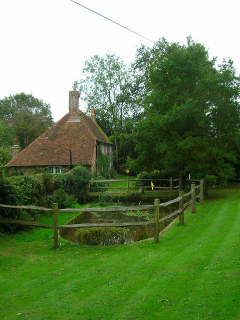
Stonehill is a historic heritage site located in Sussex, England. It is known for its picturesque countryside and charming medieval architecture. The site is situated on a hilltop, offering magnificent panoramic views of the surrounding area.
The origins of Stonehill can be traced back to the 12th century when a castle was constructed on the site. Over the centuries, it underwent several renovations and expansions, reflecting different architectural styles and influences. Today, the ruins of the castle stand as a testament to its rich and turbulent history.
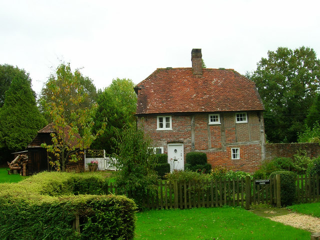
The site also includes a beautifully preserved medieval church, which dates back to the 14th century. The church boasts intricate stone carvings and stained glass windows, showcasing the craftsmanship of the era. It remains an active place of worship, hosting regular services and special events.
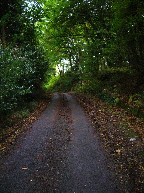
Stonehill is not only renowned for its architectural heritage but also for its natural beauty. The surrounding countryside offers a peaceful escape, with rolling hills, meandering streams, and lush greenery. It is a popular destination for nature enthusiasts, hikers, and photographers.
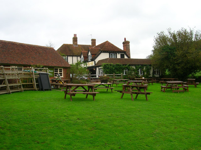
Visitors to Stonehill can explore the ruins of the castle, wander through the church, and enjoy the tranquility of the countryside. Guided tours are available, providing insights into the site's history and significance. Additionally, the on-site visitor center offers educational exhibits and interactive displays, further enriching the visitor experience.
Stonehill is a cherished heritage site, preserving the history and beauty of Sussex for generations to come. It is a must-visit destination for those seeking a glimpse into the past and a connection to the natural wonders of the region.
If you have any feedback on the listing, please let us know in the comments section below.
Stonehill Images
Images are sourced within 2km of 50.917/0.227 or Grid Reference TQ5615. Thanks to Geograph Open Source API. All images are credited.


Stonehill is located at Grid Ref: TQ5615 (Lat: 50.917, Lng: 0.227)
Administrative County: East Sussex
District: Wealden
Police Authority: Sussex
What 3 Words
///exploring.invested.pollution. Near Horam, East Sussex
Nearby Locations
Related Wikis

Gun Hill, East Sussex
Gun Hill is a hamlet in the civil parish of Chiddingly in the Wealden district of East Sussex, England. It is one of the seven hills of the parish in which...

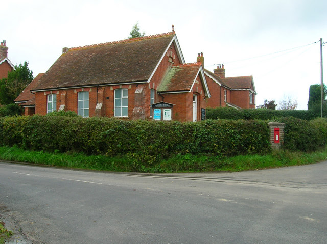
Horam
Horam is a village, electoral ward and civil parish in the Wealden District of East Sussex, situated three miles (4.8 km) south of Heathfield. Included...
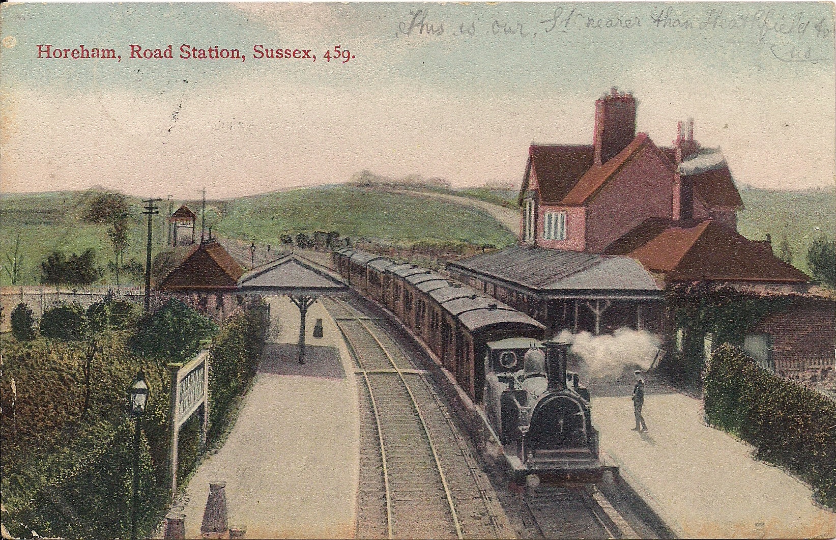
Horam railway station
Horam railway station was on the Cuckoo Line between Hellingly and Heathfield, serving the village of Horam. == History == The station was opened by the...

Chiddingly
Chiddingly ( CHID-ing-lye) is an English village and civil parish in the Wealden District of the administrative county of East Sussex, within historic...

Farleys House
Farleys House near Chiddingly, East Sussex, has been converted into a museum and archive featuring the lives and work of its former residents, the photographer...
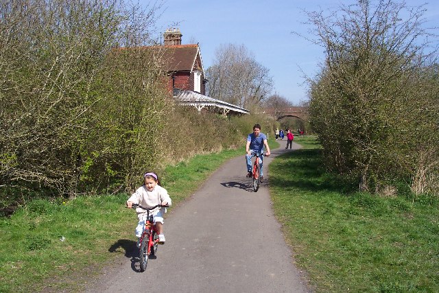
Cuckoo Trail
The Cuckoo Trail is a 14-mile (23 km) footpath and cycleway which runs from Hampden Park to Heathfield in East Sussex. It passes through the towns of Polegate...

Hellingly
Hellingly (pronounced 'Helling-lye') is a village, and can also refer to a civil parish, and to a district ward, in the Wealden District of East Sussex...
Whitesmith maze
A plantation of willows near Whitesmith, East Sussex, in England forms a maze in the shape of a quotation from the Bible. The maze was planted by local...
Nearby Amenities
Located within 500m of 50.917,0.227Have you been to Stonehill?
Leave your review of Stonehill below (or comments, questions and feedback).