Highdown Wood
Wood, Forest in Sussex Wealden
England
Highdown Wood

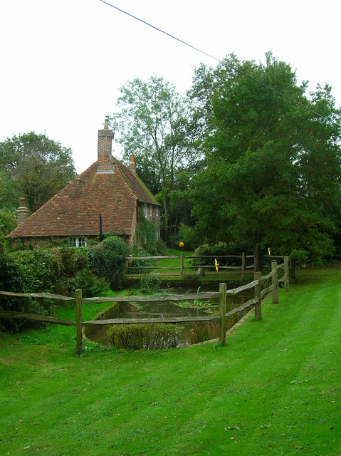
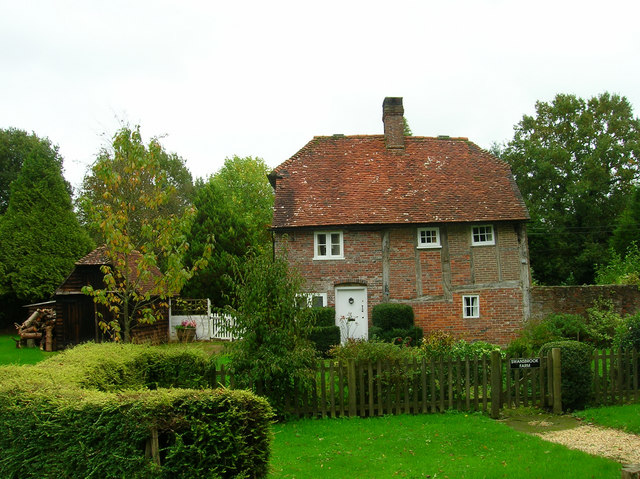
Highdown Wood is a charming woodland located in Sussex, England. Situated near the town of Worthing, it spans an area of approximately 200 acres and is a popular destination for nature lovers and outdoor enthusiasts. The woodland is managed by the Woodland Trust, a leading conservation charity in the UK.
Highdown Wood is known for its diverse range of flora and fauna. The woodland consists primarily of mixed broadleaf trees, including oak, ash, and beech. In spring, the forest floor is carpeted with bluebells, creating a stunning sight for visitors. The wood is also home to a variety of wildlife, including deer, foxes, and a range of bird species.
One of the highlights of Highdown Wood is the ancient burial mound located within the woodland. Dating back to the Bronze Age, this historical site offers a glimpse into the region's rich past. Visitors can explore the mound and learn about its significance through informative signage.
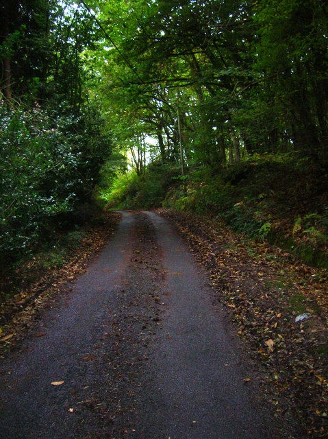
The woodland is crisscrossed by a network of well-maintained footpaths, making it easy for visitors to explore the area. There are also several picnic areas scattered throughout the wood, providing a perfect spot for a leisurely lunch or a peaceful break.
Highdown Wood offers a tranquil escape from the hustle and bustle of daily life. Whether it's taking a leisurely stroll, enjoying a picnic, or simply immersing oneself in nature, this woodland provides a serene setting for all.
If you have any feedback on the listing, please let us know in the comments section below.
Highdown Wood Images
Images are sourced within 2km of 50.91581/0.22375252 or Grid Reference TQ5615. Thanks to Geograph Open Source API. All images are credited.


Highdown Wood is located at Grid Ref: TQ5615 (Lat: 50.91581, Lng: 0.22375252)
Administrative County: East Sussex
District: Wealden
Police Authority: Sussex
What 3 Words
///mountains.ordeals.tailwind. Near Horam, East Sussex
Nearby Locations
Related Wikis

Gun Hill, East Sussex
Gun Hill is a hamlet in the civil parish of Chiddingly in the Wealden district of East Sussex, England. It is one of the seven hills of the parish in which...

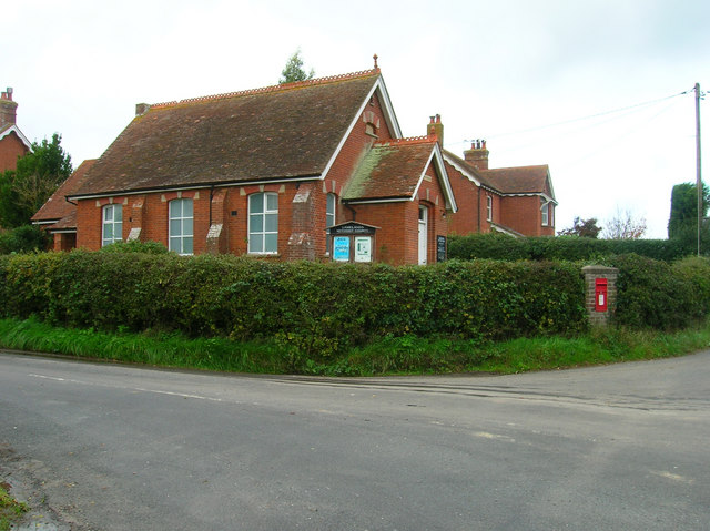
Horam
Horam is a village, electoral ward and civil parish in the Wealden District of East Sussex, situated three miles (4.8 km) south of Heathfield. Included...

Chiddingly
Chiddingly ( CHID-ing-lye) is an English village and civil parish in the Wealden District of the administrative county of East Sussex, within historic...

Farleys House
Farleys House near Chiddingly, East Sussex, has been converted into a museum and archive featuring the lives and work of its former residents, the photographer...
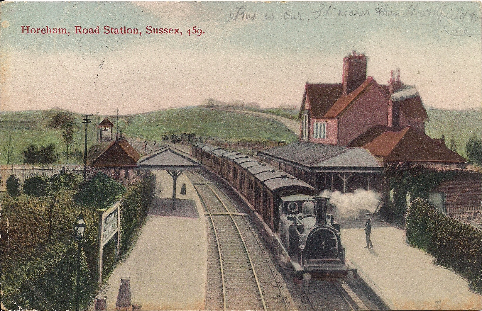
Horam railway station
Horam railway station was on the Cuckoo Line between Hellingly and Heathfield, serving the village of Horam. == History == The station was opened by the...
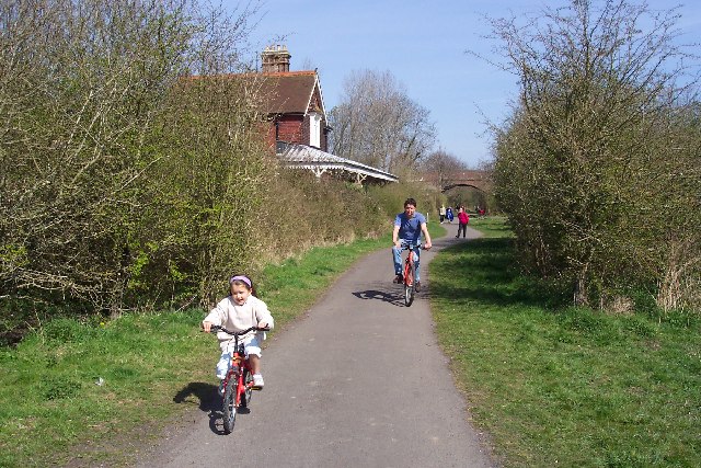
Cuckoo Trail
The Cuckoo Trail is a 14-mile (23 km) footpath and cycleway which runs from Hampden Park to Heathfield in East Sussex. It passes through the towns of Polegate...
Whitesmith maze
A plantation of willows near Whitesmith, East Sussex, in England forms a maze in the shape of a quotation from the Bible. The maze was planted by local...

Hellingly
Hellingly (pronounced 'Helling-lye') is a village, and can also refer to a civil parish, and to a district ward, in the Wealden District of East Sussex...
Nearby Amenities
Located within 500m of 50.91581,0.22375252Have you been to Highdown Wood?
Leave your review of Highdown Wood below (or comments, questions and feedback).