Stonehenge
Heritage Site in Wiltshire
England
Stonehenge
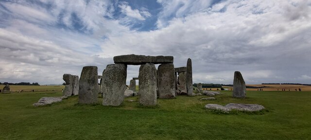
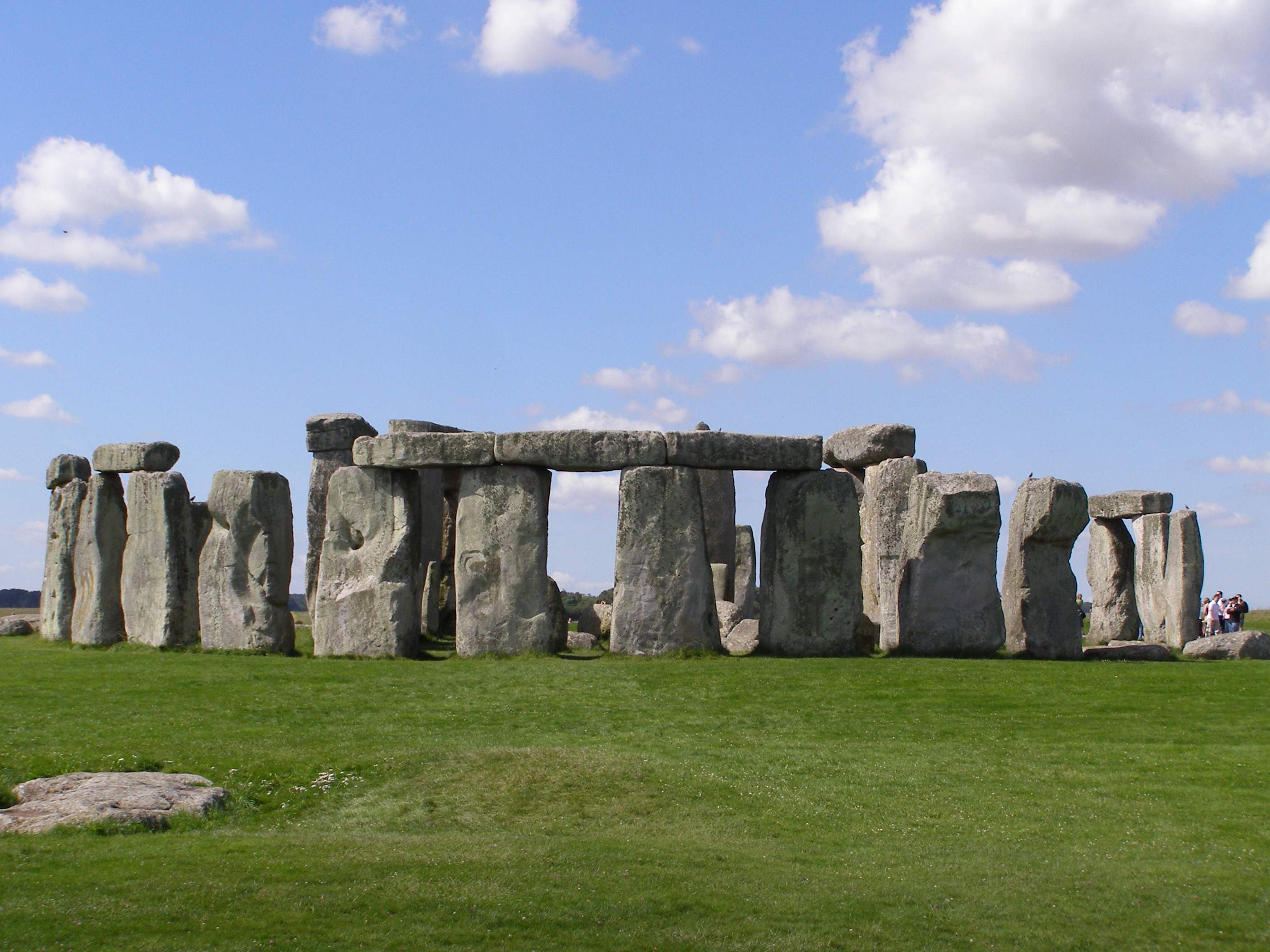
Stonehenge, located in Wiltshire, England, is a prehistoric monument and a UNESCO World Heritage Site. This iconic structure has fascinated archaeologists, historians, and visitors for centuries, drawing millions of tourists annually. Stonehenge is situated on Salisbury Plain, about 8 miles north of Salisbury.
The monument consists of a circular arrangement of large standing stones, known as megaliths, surrounded by a circular earthwork ditch and a bank. The stones vary in size, with the largest reaching up to 30 feet in height and weighing around 25 tons. The outer circle is approximately 100 feet in diameter. The construction of Stonehenge is believed to have commenced around 3000 BC and continued over several centuries.
The purpose of Stonehenge remains a subject of debate, with theories ranging from religious ceremonies to astronomical observatory or a burial site. Its alignment with the solstice suggests a connection to the annual cycle of the sun. The construction techniques used at Stonehenge, such as the precise shaping and fitting of the stones, demonstrate remarkable engineering skills of the ancient builders.
Stonehenge attracts visitors from around the world who come to marvel at its mysterious and awe-inspiring beauty. The monument's significance and its enigmatic history have led to extensive research and conservation efforts. Today, visitors can explore the site and its visitor center, which offers informative exhibitions, archaeological displays, and audio-visual presentations about the monument's history and significance. Stonehenge continues to be a symbol of ancient human ingenuity and a testament to the enduring mysteries of our past.
If you have any feedback on the listing, please let us know in the comments section below.
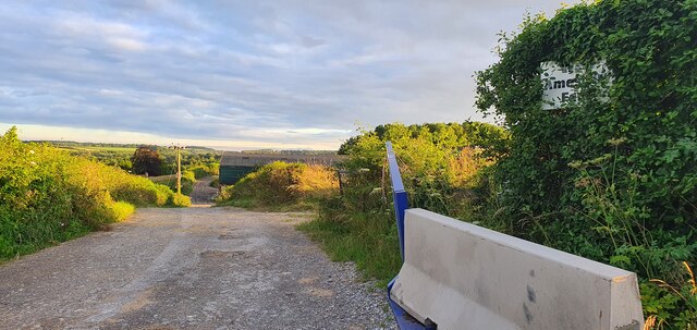
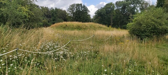
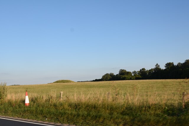
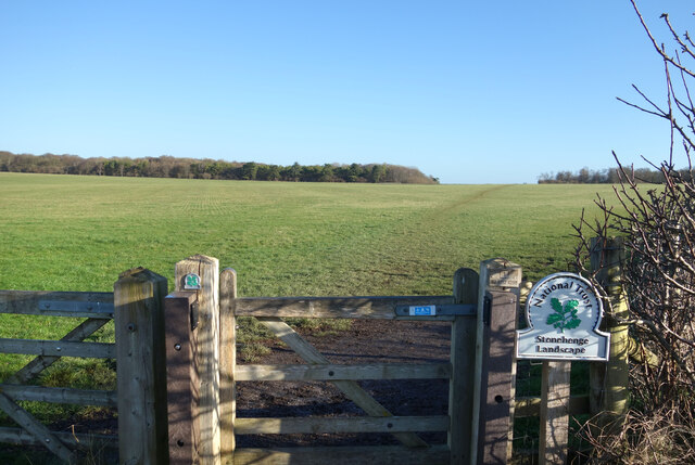
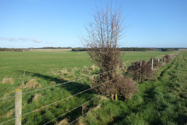
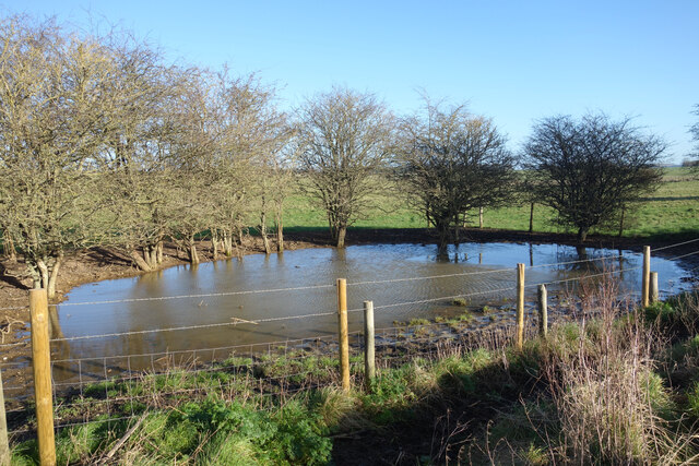
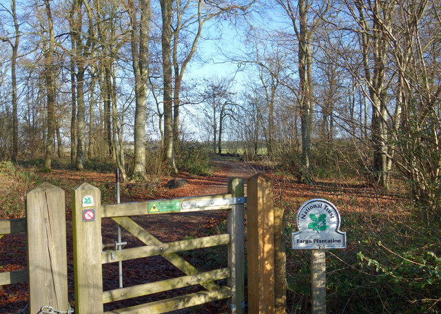
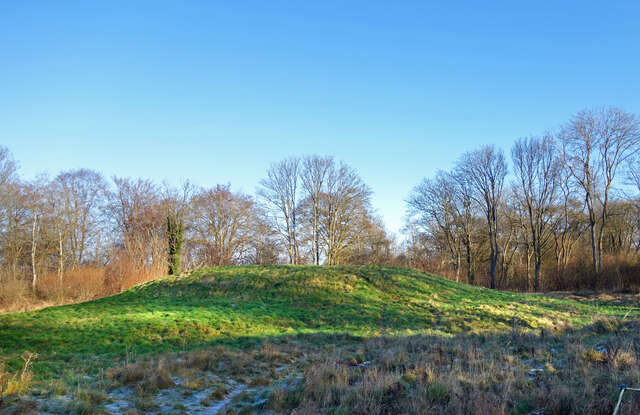
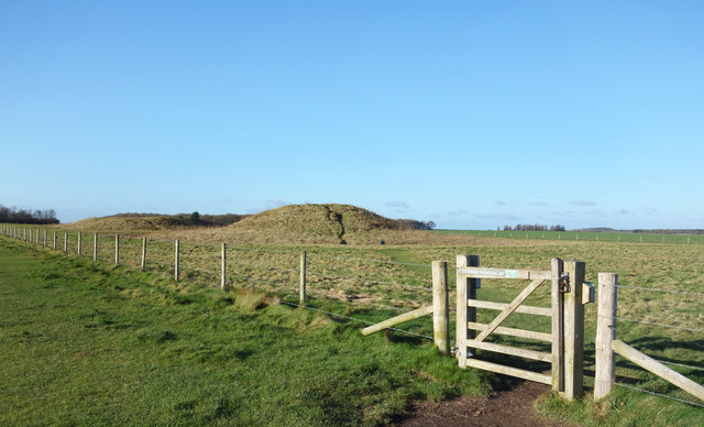
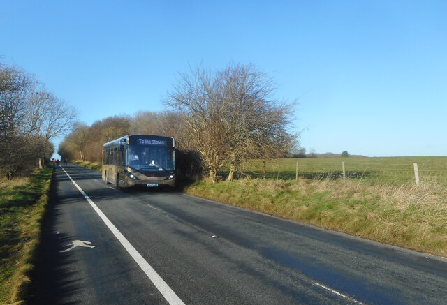
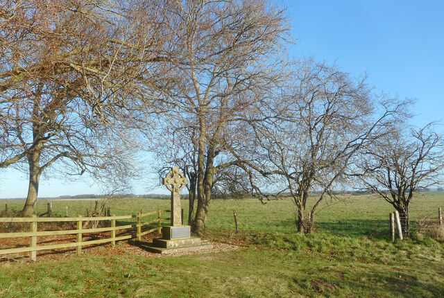
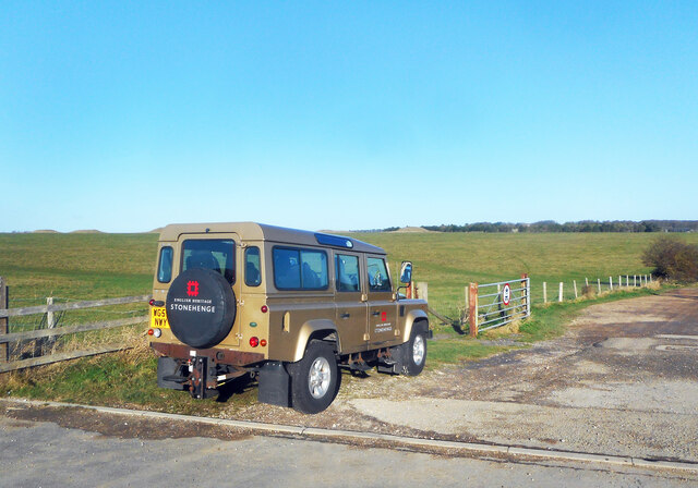
Stonehenge Images
Images are sourced within 2km of 51.182/-1.822 or Grid Reference SU1242. Thanks to Geograph Open Source API. All images are credited.


Stonehenge is located at Grid Ref: SU1242 (Lat: 51.182, Lng: -1.822)
What 3 Words
///lunges.elsewhere.mute. Near Lark Hill, Wiltshire
Nearby Locations
Related Wikis
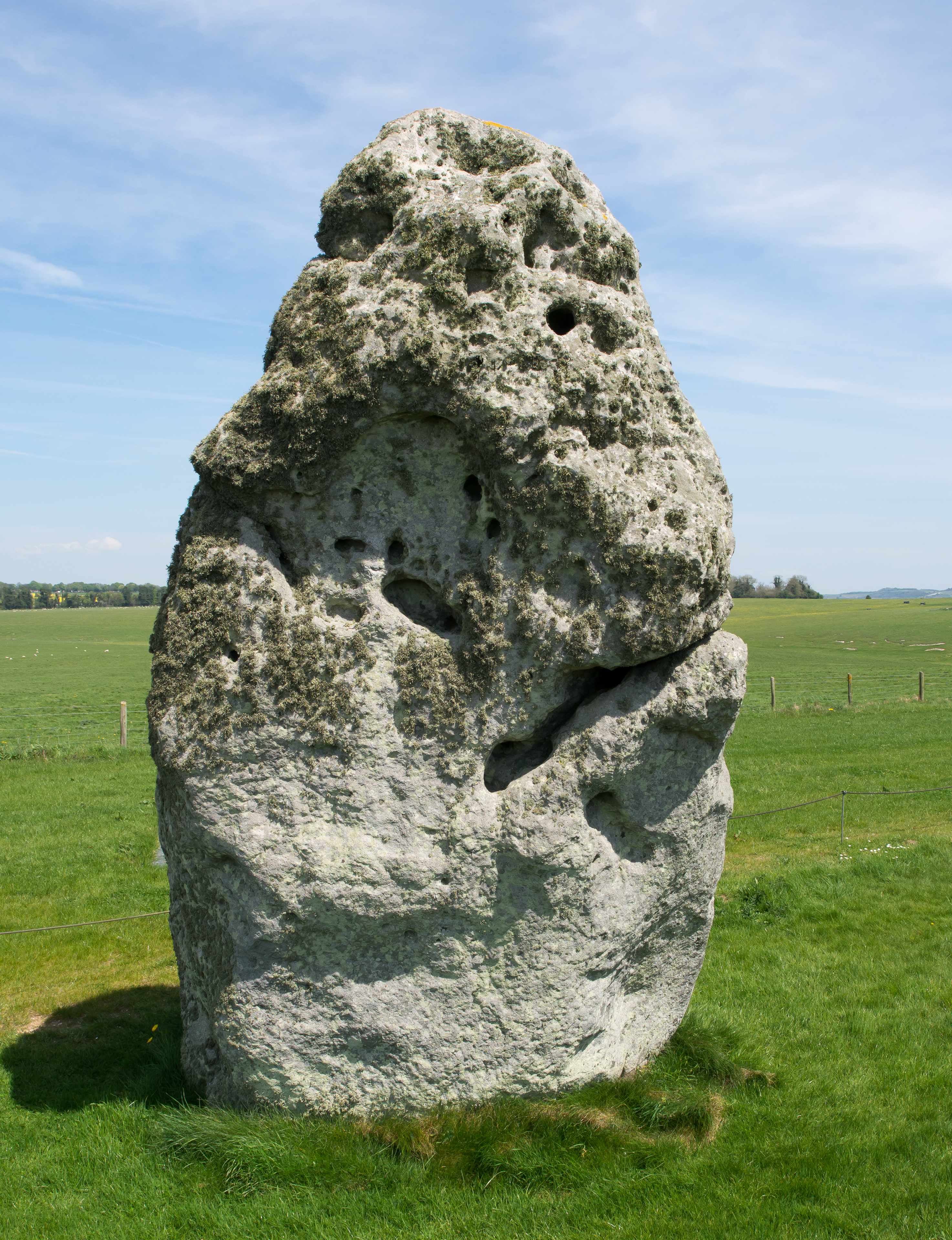
Heel Stone
The Heel Stone is a single large block of sarsen stone standing within the Avenue outside the entrance of the Stonehenge earthwork in Wiltshire, England...

Stonehenge Avenue
Stonehenge Avenue is an ancient avenue on Salisbury Plain, Wiltshire, England. It is part of the Stonehenge, Avebury and Associated Sites UNESCO World...
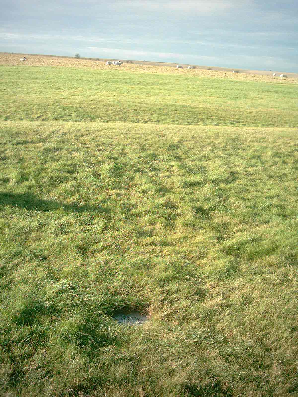
Aubrey holes
The Aubrey holes are a ring of 56 chalk pits at Stonehenge, named after seventeenth-century antiquarian John Aubrey. They date to the earliest phases of...

Stonehenge, Avebury and Associated Sites
Stonehenge, Avebury and Associated Sites is a UNESCO World Heritage Site (WHS) in Wiltshire, England. The WHS covers two large areas of land separated...
Stonehenge
Stonehenge is a prehistoric monument on Salisbury Plain in Wiltshire, England, two miles (3 km) west of Amesbury. It consists of an outer ring of vertical...

Stonehenge Free Festival
The Stonehenge Free Festival was a British free festival from 1974 to 1984 held at the prehistoric monument Stonehenge in England during the month of June...
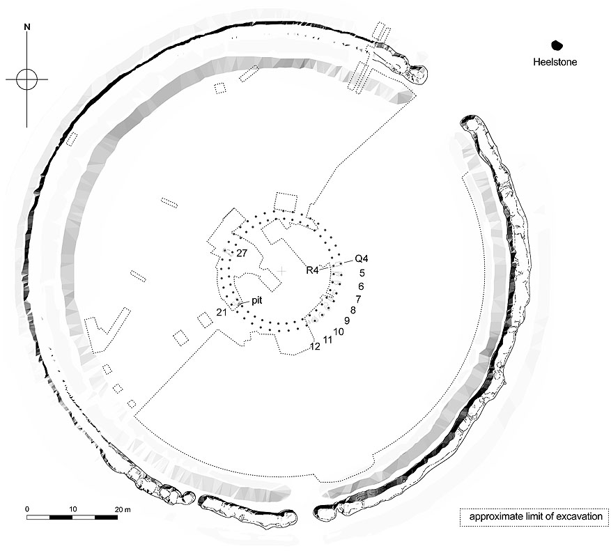
Q and R Holes
The Q and R Holes are a series of concentric sockets which currently represent the earliest known evidence for a stone structure on the site of Stonehenge...

Altar Stone (Stonehenge)
The Altar Stone is a recumbent central megalith at Stonehenge in England, dating to Stonehenge phase 3i, around 2600 BCE. It is identified as Stone 80...
Nearby Amenities
Located within 500m of 51.182,-1.822Have you been to Stonehenge?
Leave your review of Stonehenge below (or comments, questions and feedback).