Stane Street

Heritage Site in Hertfordshire East Hertfordshire

England

Stane Street

Building new section of the A120 This will bypass Little Hadham. The original section of the A120 follows a Roman road.
Building new section of the A120 Credit: Bikeboy

Stane Street, located in Hertfordshire, is an ancient Roman road that has earned the distinction of being a Heritage Site due to its historical significance. The road, which extends for approximately 55 miles, was constructed during the Roman occupation of Britain and served as a crucial communication route between the settlements of London and Chichester.

Stane Street derives its name from the Old English word "stān," meaning stone, as it was initially paved with large stones to ensure durability. The road was built in the 1st century AD and played a vital role in the Roman transportation network. It connected London, then known as Londinium, with Noviomagus Reginorum, present-day Chichester, passing through various Roman settlements such as Durocobrivis (modern-day Dunstable) and Verulamium (modern-day St Albans).

Stane Street's construction was a significant engineering feat for its time, considering the technological limitations of the era. The road's straight alignment, which is still evident in some sections today, showcases the Romans' expertise in surveying and road-building techniques. The road was constructed using layers of gravel, sand, and clay, topped with large stones to provide a solid and durable foundation.

Over the centuries, Stane Street has undergone various modifications and repairs, with different sections being upgraded or realigned. While some parts of the road have been incorporated into modern routes, others have been preserved as footpaths or bridleways, allowing visitors to experience a piece of ancient history. Stane Street's significance as a Heritage Site lies not only in its physical remains but also in the insights it provides into the Roman occupation and the transportation infrastructure of the time.

If you have any feedback on the listing, please let us know in the comments section below.
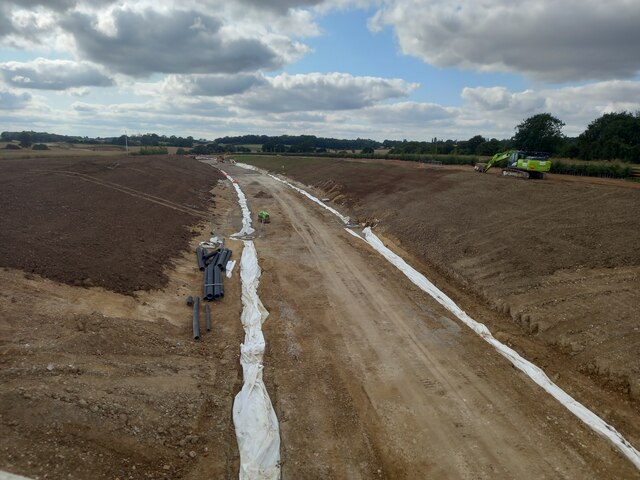
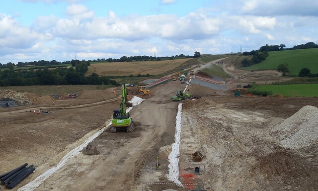
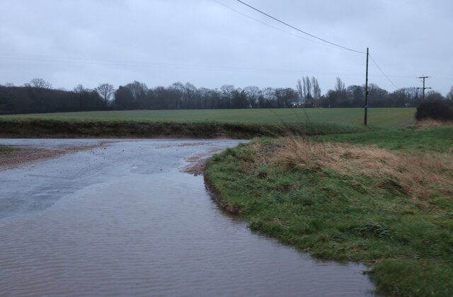
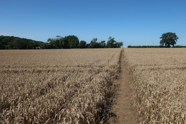
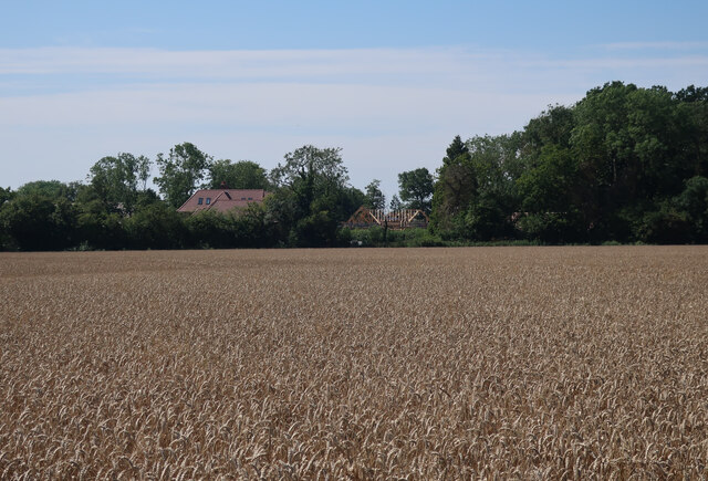
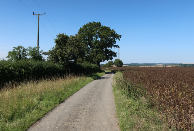
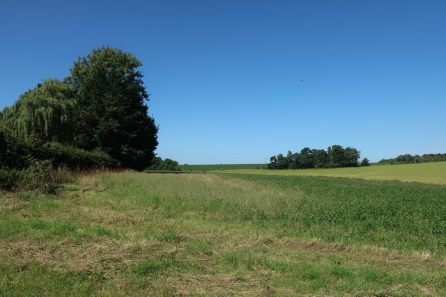
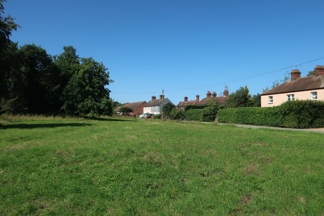
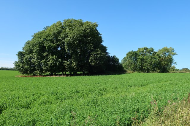
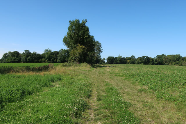
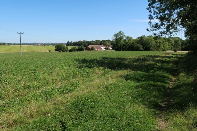
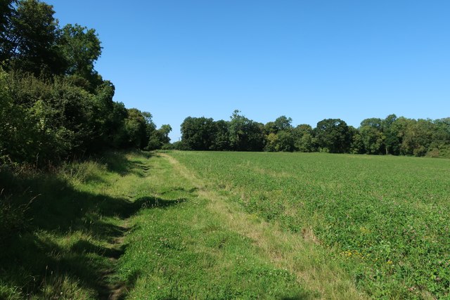
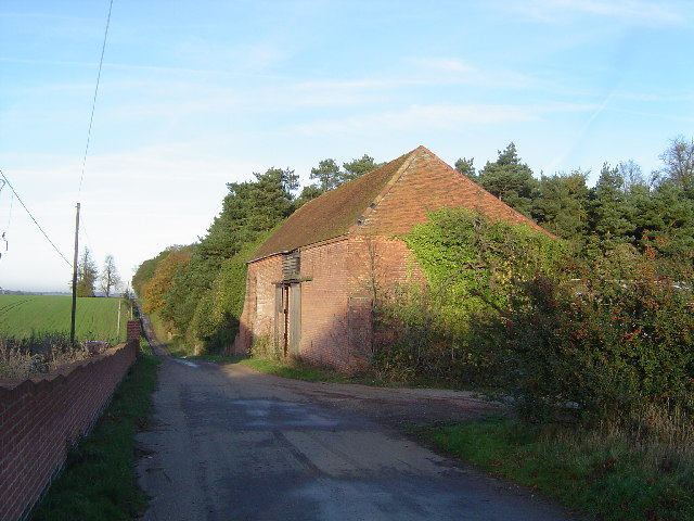
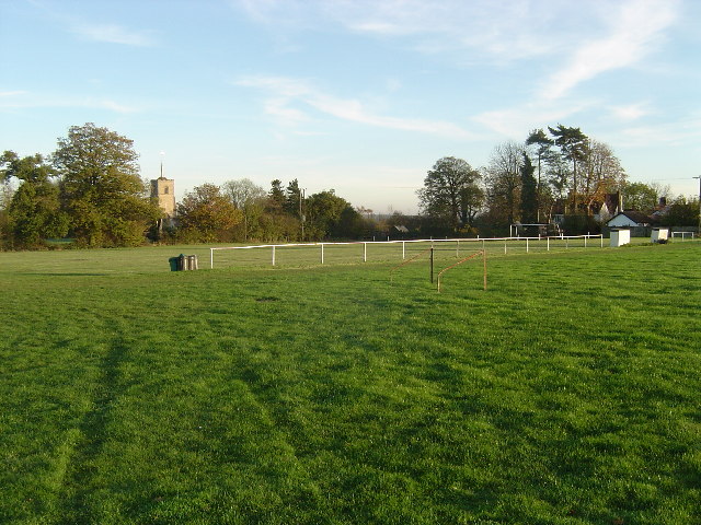
Stane Street Images

Images are sourced within 2km of 51.892/0.07 or Grid Reference TL4223. Thanks to Geograph Open Source API. All images are credited.

Building new section of the A120 This will bypass Little Hadham. The original section of the A120 follows a Roman road.
Building new section of the A120
This will bypass Little Hadham. The original section of the A120 follows a Roman road.
Building new section of the A120, looking east This will bypass Little Hadham. The original section of the A120 follows a Roman road.
Building new section of the A120, looking east
This will bypass Little Hadham. The original section of the A120 follows a Roman road.
Froghall Lane, Broken Green
Hadham Road, Wellpond Green
Path through the wheat Somewhat straighter than the mapped route.
Path through the wheat
Somewhat straighter than the mapped route.
Footpath to Braughing Friars
Ripe wheat field near Windcott
Wheat field by Flowerlands
Hertfordshire Way towards Windcott
Fields near Albury Hall
Albury Hall Cottages
Field near Albury Hall
Harcamlow Way
Harcamlow Way
Harcamlow Way past Albury Hall Cottages
Harcamlow Way
Harcamlow Way
Albury Hall This barn appears to be all that is left of Albury Hall, a country house that was demolished c. 1950. The house and the estate dominated the village of Albury and the five adjacent hamlets from the late 18th Century up to the Second World War. It was the seat of a number of powerful and prominent people in politics and banking and employed the majority of the population of the district in agriculture and allied trades. The local village website is active and very informative with the history and old photographs of the house and can be found at <span class="nowrap"><a title="http://www.alburyvillage.org.uk/index.htm" rel="nofollow ugc noopener" href="http://www.alburyvillage.org.uk/index.htm">Link</a><img style="margin-left:2px;" alt="External link" title="External link - shift click to open in new window" src="https://s1.geograph.org.uk/img/external.png" width="10" height="10"/></span> Follow the link to "Albury Hall History".
Albury Hall
This barn appears to be all that is left of Albury Hall, a country house that was demolished c. 1950. The house and the estate dominated the village of Albury and the five adjacent hamlets from the late 18th Century up to the Second World War. It was the seat of a number of powerful and prominent people in politics and banking and employed the majority of the population of the district in agriculture and allied trades. The local village website is active and very informative with the history and old photographs of the house and can be found at LinkExternal link Follow the link to "Albury Hall History".
Albury The finest village football pitch complete with dugouts for the management, railings to keep the spectators in order, and there is a pavilion, not in the photo, too. The tower of the 13th Century Church of St. Mary The Virgin is visible above the trees. The very informative and active village website can be found here <span class="nowrap"><a title="http://www.alburyvillage.org.uk/index.htm" rel="nofollow ugc noopener" href="http://www.alburyvillage.org.uk/index.htm">Link</a><img style="margin-left:2px;" alt="External link" title="External link - shift click to open in new window" src="https://s1.geograph.org.uk/img/external.png" width="10" height="10"/></span>
Albury
The finest village football pitch complete with dugouts for the management, railings to keep the spectators in order, and there is a pavilion, not in the photo, too. The tower of the 13th Century Church of St. Mary The Virgin is visible above the trees. The very informative and active village website can be found here LinkExternal link
The Kick & Dicky Pub An unusual name for this pub in Wellpond Green. It used to be known as The Nags Head.
The Kick & Dicky Pub
An unusual name for this pub in Wellpond Green. It used to be known as The Nags Head.
Show me another place!

Stane Street is located at Grid Ref: TL4223 (Lat: 51.892, Lng: 0.07)

Administrative County: Hertfordshire

District: East Hertfordshire

Police Authority: Hertfordshire

What 3 Words

///foggy.denoting.tour. Near Puckeridge, Hertfordshire

Nearby Locations

Stane Street Albury End

Related Wikis

Albury End

Albury End is a hamlet in Hertfordshire, England. It is in the civil parish of Albury. == External links == Media related to Albury End at Wikimedia Commons

Little Hadham

Little Hadham is a village and civil parish in the district of East Hertfordshire, Hertfordshire, England. At the census of 2001 it had a population of...

Wellpond Green

Wellpond Green is a hamlet near the A120 road and the town of Bishop's Stortford, in the county of Hertfordshire, England. Wellpond Green contains 4 listed...

Braughing Friars

Braughing Friars is a hamlet in Hertfordshire, England. It is in the civil parish of Braughing. == External links == Media related to Braughing Friars...

Nearby Amenities

Located within 500m of 51.892,0.07
Albury End
Place: hamlet
Wikidata: Q4712856
Lat/Long: 51.8937529/0.0753295
Power: pole
Lat/Long: 51.8909411/0.0645127
Power: pole
Lat/Long: 51.8902328/0.0653871
Material: steel
Power: pole
Lat/Long: 51.8882331/0.0677742
Power: pole
Lat/Long: 51.8916463/0.0636865
Power: pole
Lat/Long: 51.8895342/0.0662239
Material: wood
Power: pole
Lat/Long: 51.8902129/0.0754827
Material: wood
Power: pole
Lat/Long: 51.8911564/0.0758207
Power: pole
Lat/Long: 51.8927111/0.0763947
Material: wood
Power: pole
Lat/Long: 51.893358/0.0765931
Material: wood
Power: pole
Lat/Long: 51.8920523/0.0761425
Addr Housename: Piggott's Farm
Lat/Long: 51.8949271/0.0753234
Power: pole
Lat/Long: 51.8893334/0.0752598
The data included in this document is from www.openstreetmap.org. The data is made available under ODbL.

Have you been to Stane Street ?

Leave your review of Stane Street below (or comments, questions and feedback).