St Catherine's Chapel

Heritage Site in Dorset

England

St Catherine's Chapel

Path to Houghton South Down
Path to Houghton South Down Credit: Vieve Forward

St. Catherine's Chapel, located in Abbotsbury, Dorset, is a historic and picturesque site that holds great significance in the region's history. This medieval chapel is perched on a hilltop, offering stunning views of the surrounding countryside and the English Channel.

Built in the 14th century, St. Catherine's Chapel was initially constructed as a place of pilgrimage and a beacon for sailors. The chapel was dedicated to St. Catherine of Alexandria, the patron saint of sailors, and it served as a place of solace and prayer for seafarers before their voyages. The chapel's strategic location made it visible from the sea, acting as a guiding light for sailors returning home.

The chapel itself is a fine example of medieval architecture, with its simple yet elegant design. It is constructed from local limestone and features a distinctive octagonal shape, with large windows that allow natural light to flood the interior. The interior is adorned with beautiful stained glass windows, depicting religious scenes and figures.

Over the centuries, St. Catherine's Chapel has undergone various restorations to preserve its historical and architectural significance. Today, it stands as a well-preserved heritage site, attracting visitors from near and far. The chapel's location on the South West Coast Path also makes it a popular spot for hikers and nature enthusiasts.

Visitors to St. Catherine's Chapel can explore its serene surroundings, take in the breathtaking views, and appreciate the chapel's rich history and cultural importance. The site offers a peaceful and reflective atmosphere, allowing visitors to connect with the past and appreciate the beauty of this historic landmark.

If you have any feedback on the listing, please let us know in the comments section below.

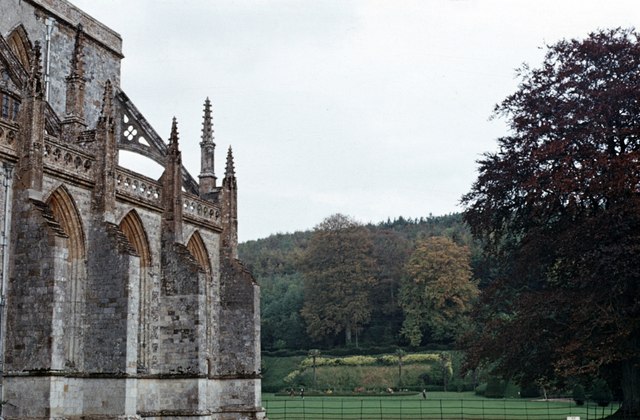
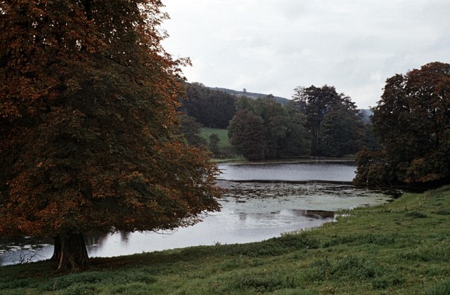
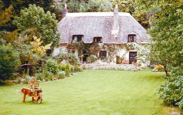
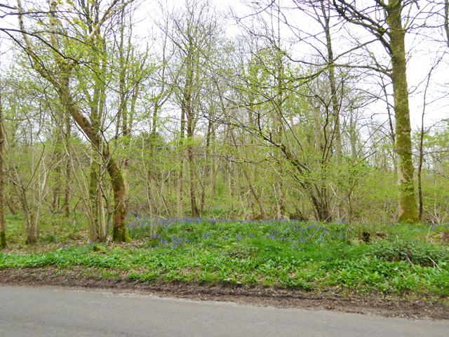
St Catherine's Chapel Images

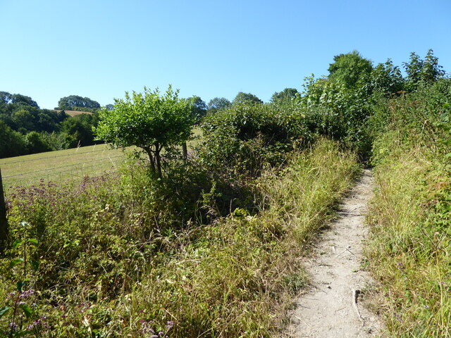
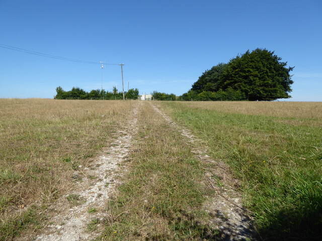
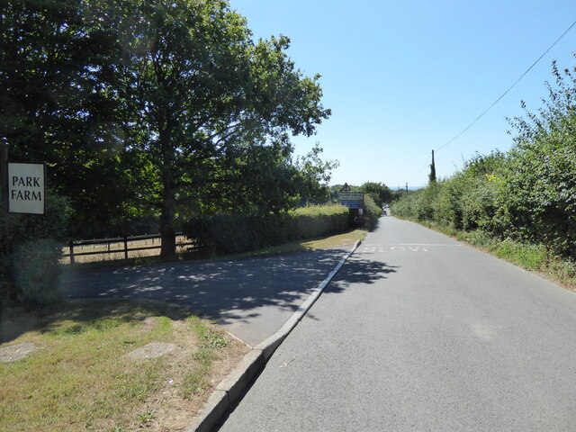
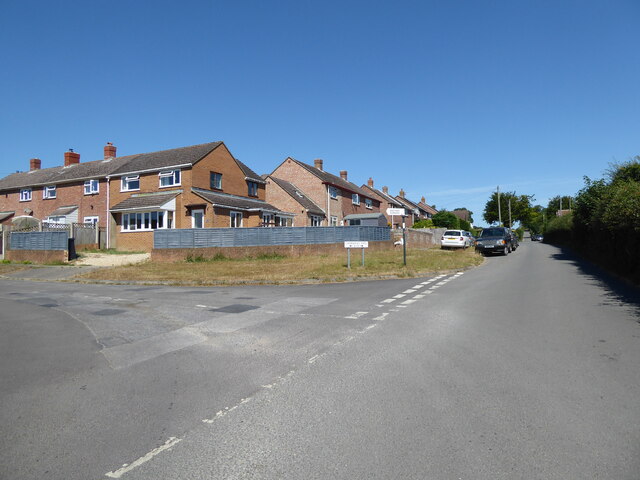
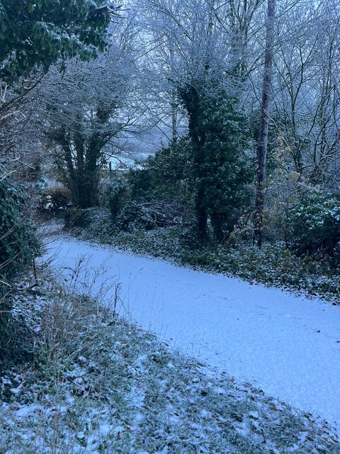
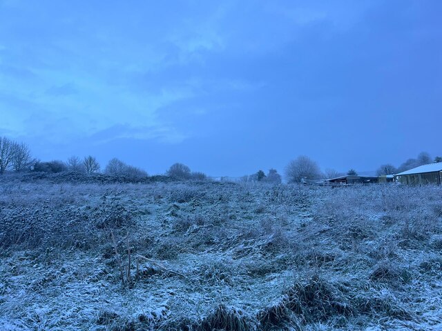
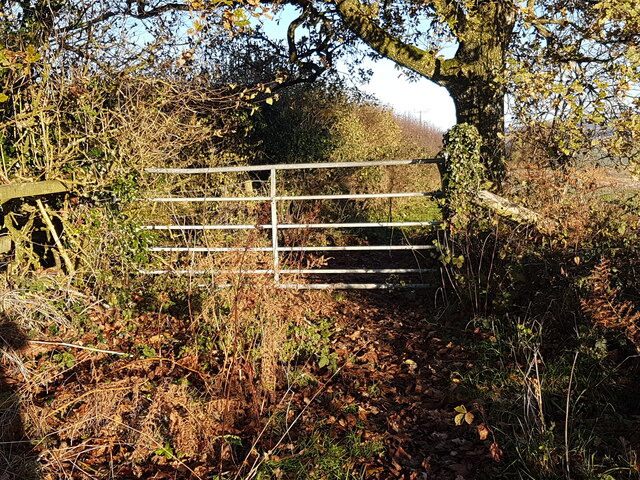
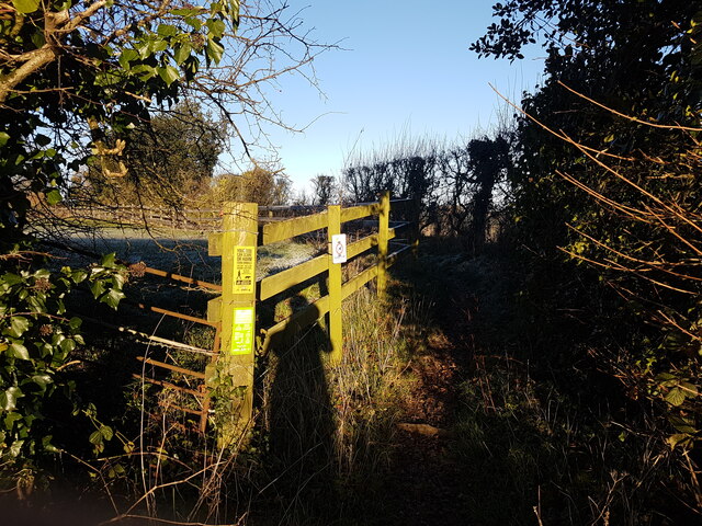
Images are sourced within 2km of 50.822/-2.277 or Grid Reference ST8002. Thanks to Geograph Open Source API. All images are credited.

Path to Houghton South Down
Reservoir, Houghton Down Clump
The road towards Milton Abbas passing Park Farm
Entrance to Catherine's Well
Entrance to Luccombe Luccombe now boasts holiday accommodation, businesses and crafts, and a riding centre.
Entrance to Luccombe
Luccombe now boasts holiday accommodation, businesses and crafts, and a riding centre.
Higher Houghton Road in the snow
Snowy field in Winterborne Houghton
Footpath after leading to St Andrew's Church
Footpath entrance leading to St Andrew's Church
Footpath Gate on Dunbury Lane
Bully Wood near Milton Abbas
Footpath Gate on Houghton Down
Footpath Gate to Houghton Down
Pidgeon House Plantation The thickly-wooded plantation is seen from the grounds of Milton Abbey School. The Abbey is on the left.
Pidgeon House Plantation
The thickly-wooded plantation is seen from the grounds of Milton Abbey School. The Abbey is on the left.
The Lake at Milton Abbas There is or was private fishing on this 500m-long lake. The location is approximate.
The Lake at Milton Abbas
There is or was private fishing on this 500m-long lake. The location is approximate.
Green Walk Cottage near Milton Abbey, 1967 One that was left when the rest of the village of Middleton was redeveloped (and called Milton Abbas) in 1780 by Joseph Damer (first Earl of Dorchester) to the designs of Sir William Chambers and 'Capability' Brown.
Green Walk Cottage near Milton Abbey, 1967
One that was left when the rest of the village of Middleton was redeveloped (and called Milton Abbas) in 1780 by Joseph Damer (first Earl of Dorchester) to the designs of Sir William Chambers and 'Capability' Brown.
Blagdon Copse Bluebells are out, but the Ramsons along the verge are only just starting to flower.
Blagdon Copse
Bluebells are out, but the Ramsons along the verge are only just starting to flower.
Old Direction Sign - Signpost near Milton Abbey School Annulus finial - 2 arms; Dorset halo without NGR by the UC road, in parish of Milton Abbas (North Dorset District), Milton Abbey, turn to school and Delcombe Farm, on verge.

Surveyed

Milestone Society National ID: DO_ST7902
Old Direction Sign - Signpost near Milton Abbey School
Annulus finial - 2 arms; Dorset halo without NGR by the UC road, in parish of Milton Abbas (North Dorset District), Milton Abbey, turn to school and Delcombe Farm, on verge. Surveyed Milestone Society National ID: DO_ST7902
Show me another place!

St Catherine's Chapel is located at Grid Ref: ST8002 (Lat: 50.822, Lng: -2.277)

Unitary Authority: Dorset

Police Authority: Dorset

What 3 Words

///huts.resettle.gobbling. Near Milborne St Andrew, Dorset

Related Wikis

Milton Abbas

Milton Abbas is a village and civil parish in Dorset, England, lying around 5 miles (8 kilometres) southwest of Blandford Forum. In the 2011 Census the...
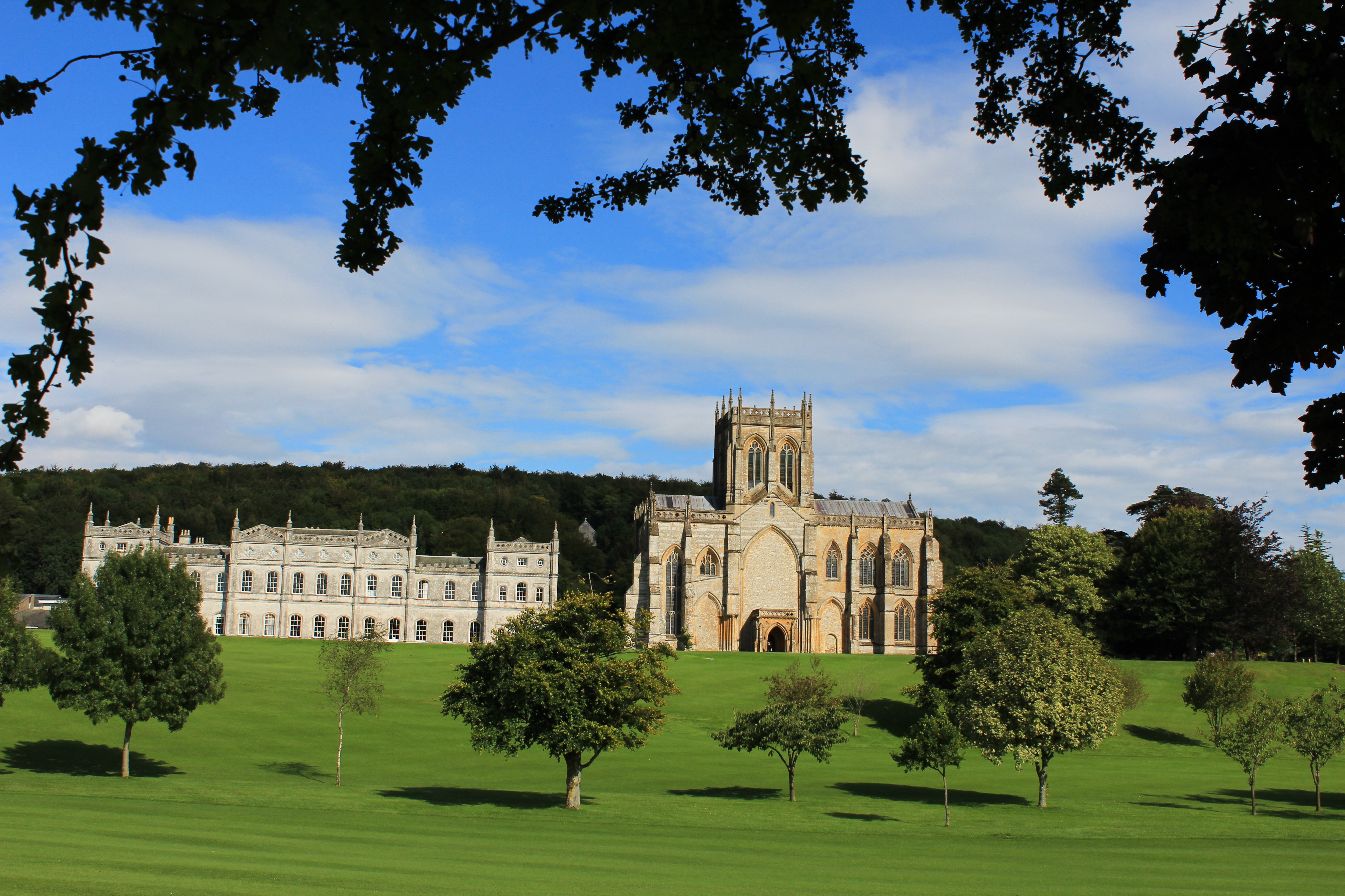
Milton Abbey School

Milton Abbey school is an independent school for day and boarding pupils in the village of Milton Abbas, near Blandford Forum in Dorset, in South West...

Winterborne Houghton

Winterborne Houghton is a village and civil parish in north Dorset, England. It is situated in a winterbourne valley on the Dorset Downs, five miles (eight...
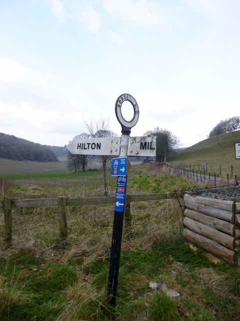
Hilton, Dorset

Hilton is a village and civil parish in the county of Dorset in southern England. It is sited at an elevation of 135 metres (443 feet) in a small valley...

Nearby Amenities

Located within 500m of 50.822,-2.277
Material: wood
Power: pole
Source: bing
Transformer: distribution
Lat/Long: 50.8185353/-2.2791804
Material: wood
Power: pole
Source: bing
Lat/Long: 50.8190047/-2.2778005
Material: wood
Power: pole
Source: bing
Lat/Long: 50.8194875/-2.2764164
Material: wood
Power: pole
Source: bing
Lat/Long: 50.8199761/-2.2750353
Material: wood
Power: pole
Source: bing
Lat/Long: 50.8208564/-2.2728532
Material: wood
Power: pole
Source: bing
Lat/Long: 50.8212752/-2.2718404
Material: wood
Power: pole
Source: survey;bing
Lat/Long: 50.8234172/-2.27193
Material: wood
Power: pole
Source: bing
Lat/Long: 50.8236858/-2.2728492
Material: wood
Power: pole
Source: bing
Lat/Long: 50.8240668/-2.2735704
Material: wood
Power: pole
Source: bing
Lat/Long: 50.8244646/-2.2743466
Material: wood
Power: pole
Source: bing
Lat/Long: 50.8249088/-2.2751865
Material: wood
Power: pole
Source: bing
Lat/Long: 50.8253598/-2.2760372
St Catherine's Well
Place: locality
Lat/Long: 50.8202453/-2.2733653
Material: wood
Power: pole
Source: bing
Lat/Long: 50.8210171/-2.270282
Power: pole
Source: bing
Lat/Long: 50.825769/-2.2768548
Power: pole
Source: bing
Lat/Long: 50.8238383/-2.2707863
Material: wood
Power: pole
Source: survey
Lat/Long: 50.8231208/-2.2708707
Material: wood
Note: Vertically stacked
Power: pole
Source: survey
Lat/Long: 50.8217042/-2.271029
Power: pole
Source: bing
Lat/Long: 50.8204571/-2.2738427
Fire Hydrant
Emergency: fire_hydrant
Fire Hydrant Diameter: 200
Fire Hydrant Type: underground
Ref: 6287
Source: survey
Lat/Long: 50.821124/-2.2711921
Fire Hydrant
Emergency: fire_hydrant
Fire Hydrant Diameter: 100
Fire Hydrant Type: underground
Ref: 12396
Source: survey
Lat/Long: 50.818191/-2.275169
The data included in this document is from www.openstreetmap.org. The data is made available under ODbL.

Have you been to St Catherine's Chapel?

Leave your review of St Catherine's Chapel below (or comments, questions and feedback).