Coombe Plantation
Wood, Forest in Dorset
England
Coombe Plantation
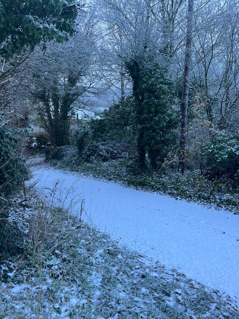
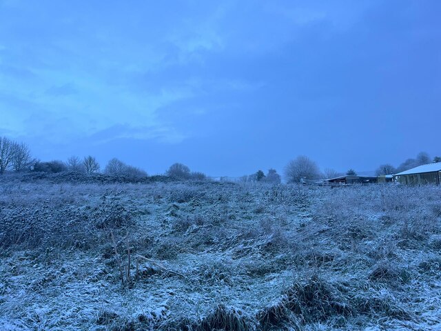
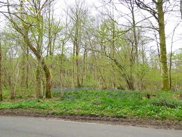
Coombe Plantation, located in Dorset, is a stunning wood and forest area that spans over a vast expanse of land. Nestled amidst the picturesque countryside, this plantation is renowned for its natural beauty and diverse range of flora and fauna.
Covering an area of approximately 500 acres, Coombe Plantation is a haven for nature enthusiasts and outdoor adventurers alike. The plantation boasts a rich variety of trees, including oak, beech, and chestnut, which create a dense canopy overhead, providing shade and shelter for the thriving ecosystem below.
Walking through the plantation, visitors are greeted by a symphony of wildlife sounds, from the chirping of birds to the occasional rustle of small animals scurrying through the undergrowth. The plantation is home to a plethora of species, including deer, foxes, badgers, and rabbits, making it a prime spot for wildlife spotting.
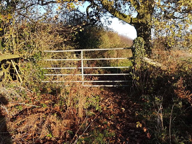
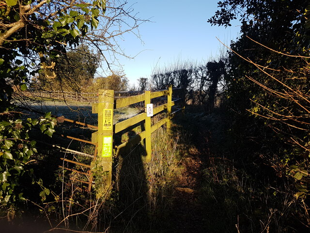
Several well-maintained walking trails meander through the plantation, allowing visitors to explore the natural wonders at their own pace. These trails offer breathtaking vistas of the surrounding countryside and provide opportunities for photography and relaxation.
Coombe Plantation also offers educational programs and guided tours for both adults and children, providing valuable insights into the importance of conservation and the delicate balance of ecosystems. These activities aim to foster a greater appreciation for nature and promote sustainable practices.
Overall, Coombe Plantation in Dorset stands as a testament to the beauty and importance of preserving our natural heritage. It serves as a sanctuary for wildlife and a peaceful retreat for those seeking solace in the great outdoors.
If you have any feedback on the listing, please let us know in the comments section below.
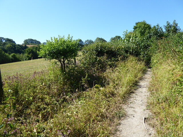
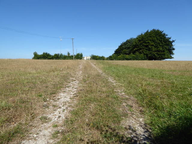
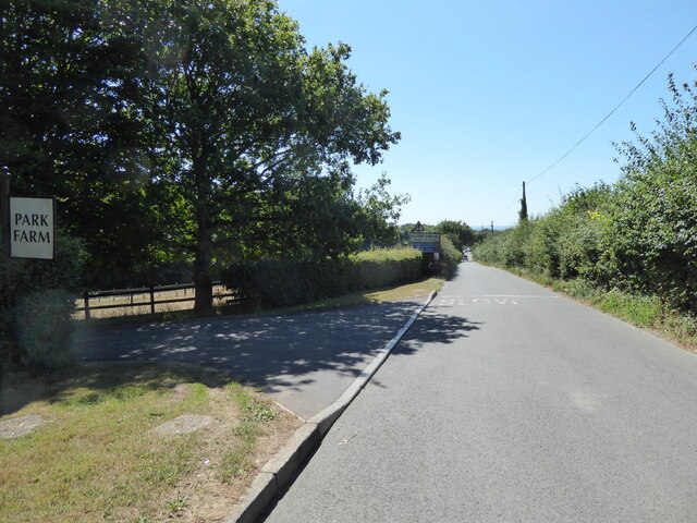
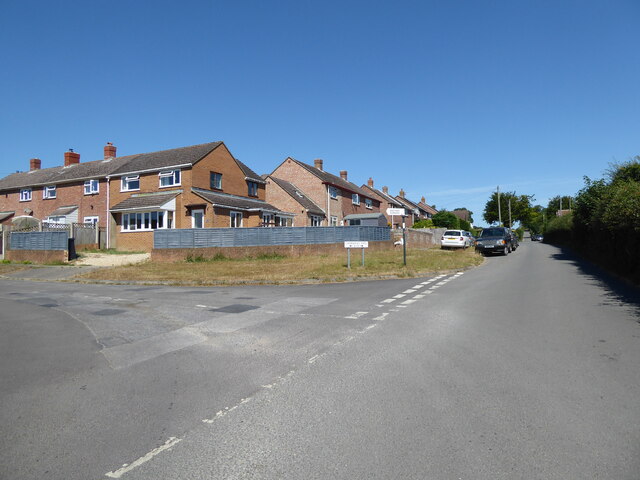
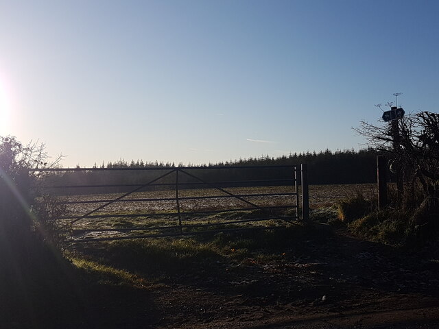
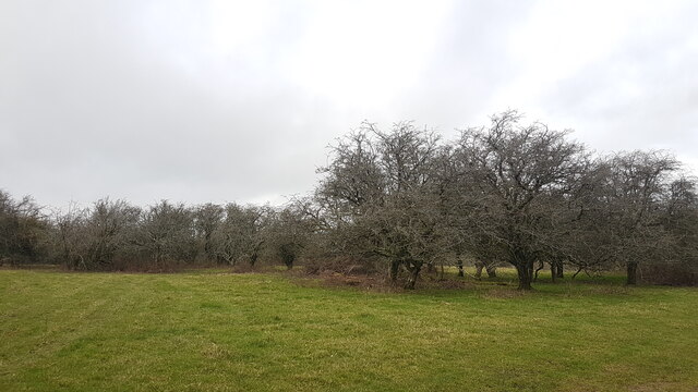
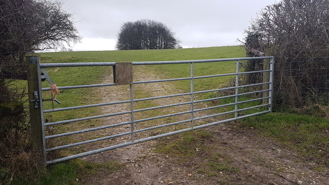
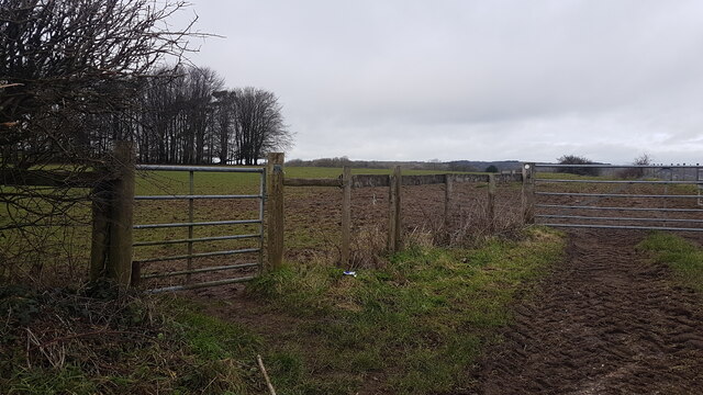
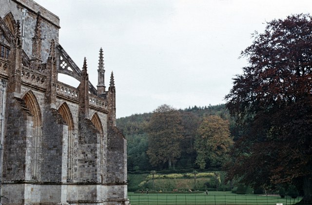
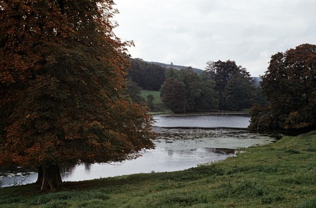
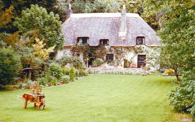
Coombe Plantation Images
Images are sourced within 2km of 50.824876/-2.2815538 or Grid Reference ST8002. Thanks to Geograph Open Source API. All images are credited.
Coombe Plantation is located at Grid Ref: ST8002 (Lat: 50.824876, Lng: -2.2815538)
Unitary Authority: Dorset
Police Authority: Dorset
What 3 Words
///inflating.refuses.snappy. Near Milborne St Andrew, Dorset
Nearby Locations
Related Wikis
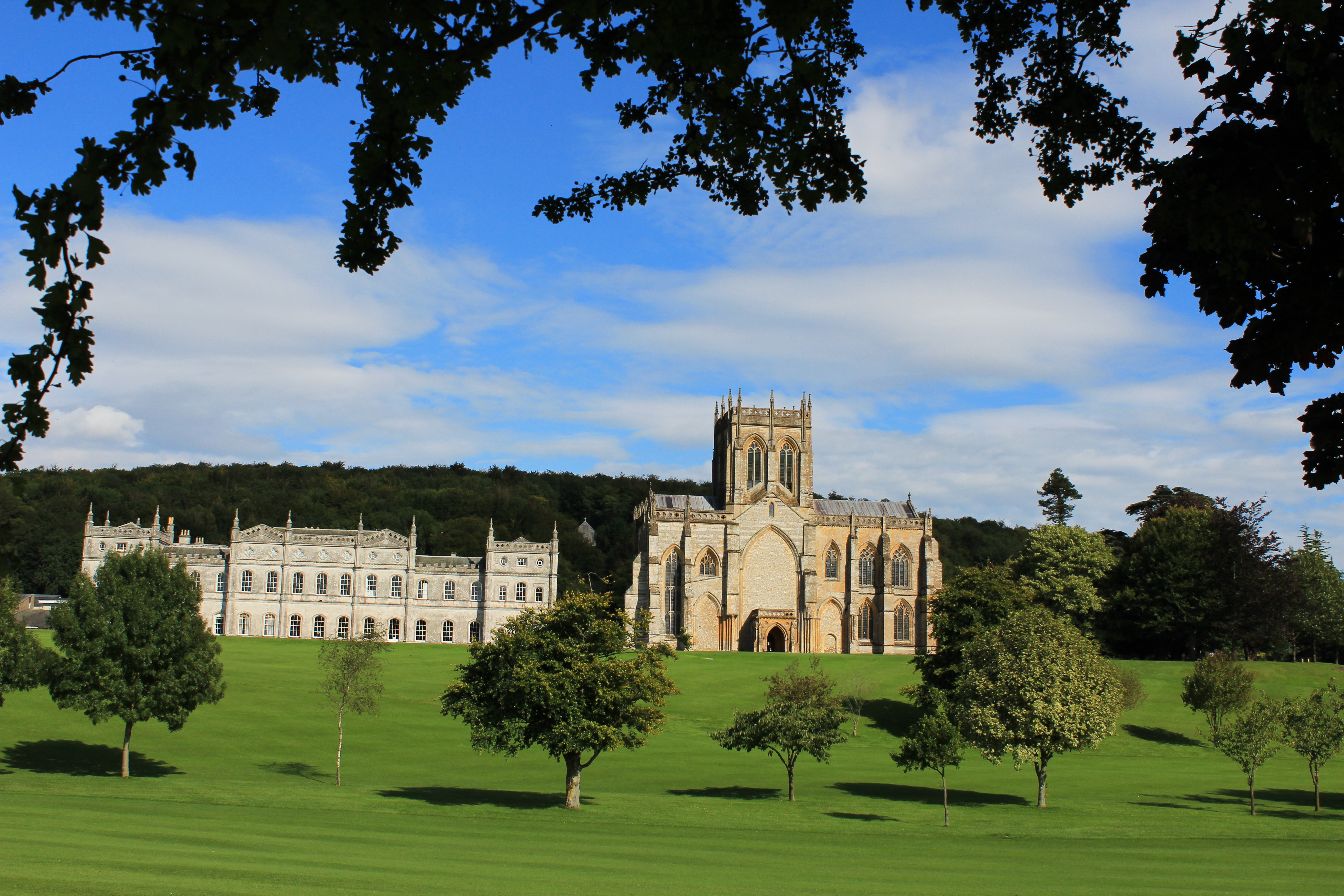
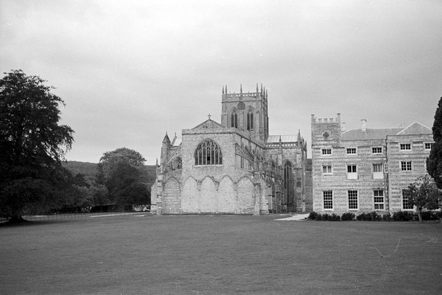
Milton Abbey School
Milton Abbey school is an independent school for day and boarding pupils in the village of Milton Abbas, near Blandford Forum in Dorset, in South West...

Milton Abbas
Milton Abbas is a village and civil parish in Dorset, England, lying around 5 miles (8 kilometres) southwest of Blandford Forum. In the 2011 Census the...

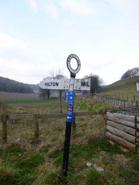
Hilton, Dorset
Hilton is a village and civil parish in the county of Dorset in southern England. It is sited at an elevation of 135 metres (443 feet) in a small valley...

Delcombe Manor
Delcombe Manor is a Grade II*-listed manor in Milton Abbas, Dorset, England. == History == The manor was built circa 1750 using flint and stone from Milton...
Nearby Amenities
Located within 500m of 50.824876,-2.2815538Have you been to Coombe Plantation?
Leave your review of Coombe Plantation below (or comments, questions and feedback).