South Ridge Farm
Heritage Site in Derbyshire
England
South Ridge Farm
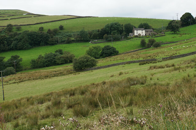
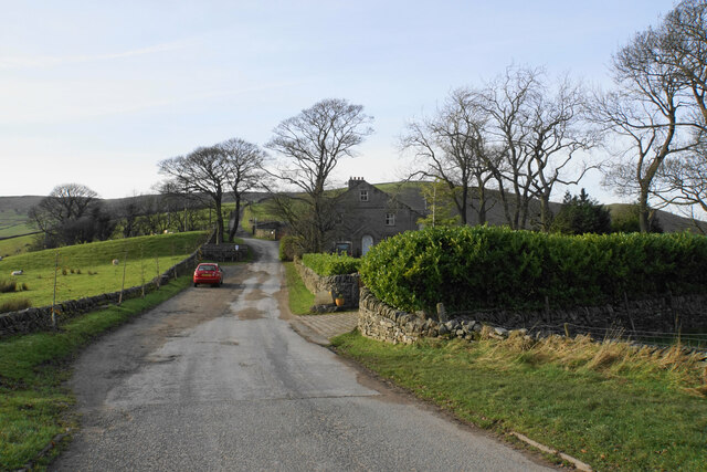
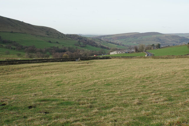
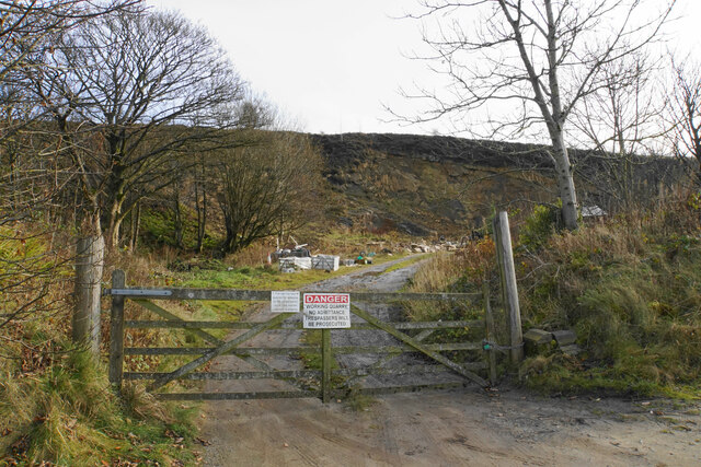
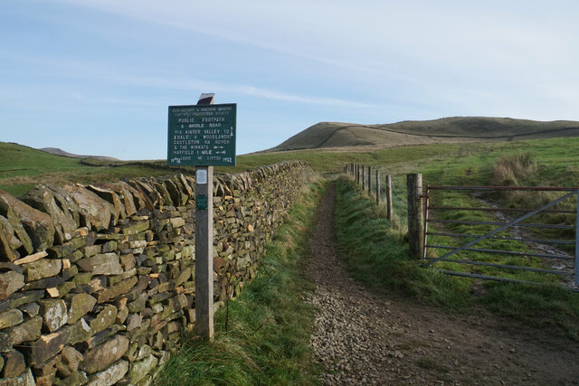
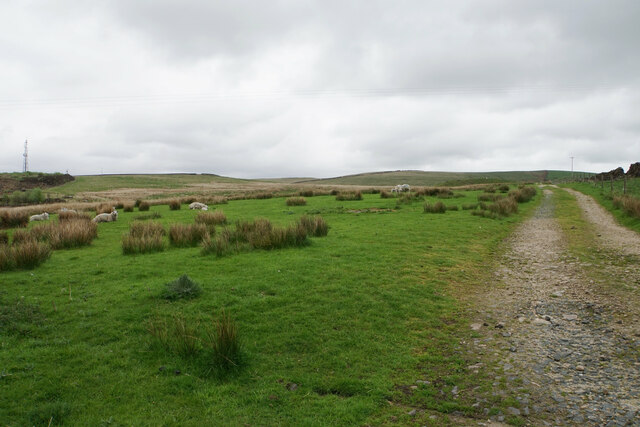
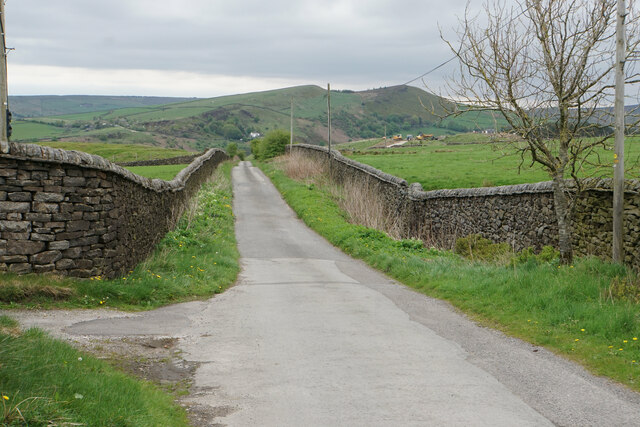
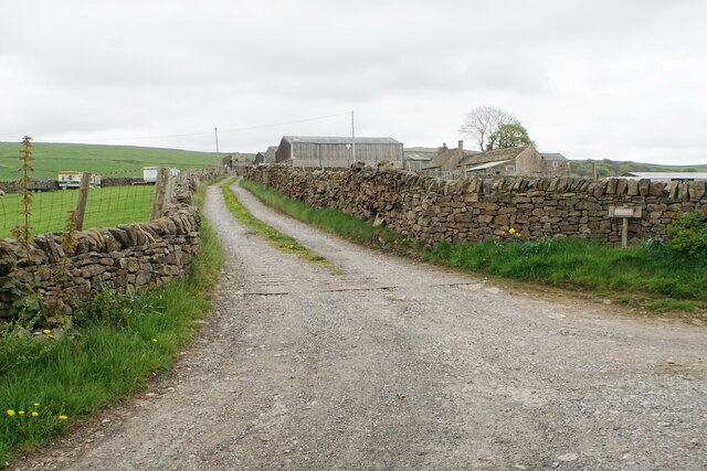
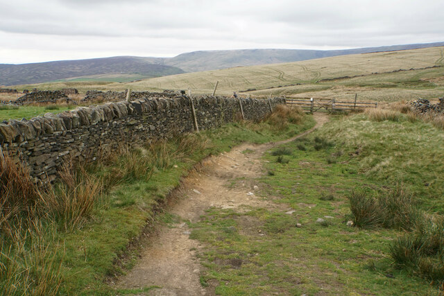
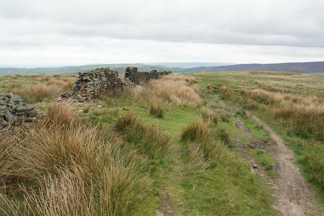
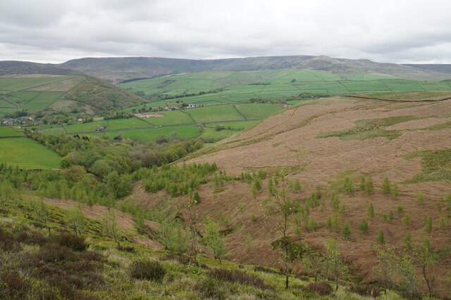
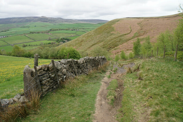
South Ridge Farm, located in Derbyshire, is a heritage site that holds significant historical and cultural value. The farm is nestled amidst the picturesque landscape of the Peak District National Park, offering visitors a glimpse into the region's rich agricultural heritage.
Dating back to the 18th century, South Ridge Farm served as a traditional working farm for many generations. Its well-preserved buildings and structures, including the farmhouse, barns, and stables, showcase the architectural style and techniques of the era. The farm's stone walls, thatched roofs, and timber frames are a testament to the craftsmanship of the time.
Visitors to South Ridge Farm can explore the various aspects of rural life in Derbyshire. The farm offers guided tours, allowing visitors to learn about the daily routines of the farmers, their methods of cultivation, and the tools they used. Additionally, there are interactive exhibits that demonstrate the traditional farming practices, such as sheep shearing and milking.
The farm also hosts seasonal events and workshops, providing visitors with an opportunity to engage in hands-on experiences. These include activities like butter churning, bread making, and even tractor rides. Such events not only entertain visitors but also educate them about the importance of sustainable farming practices and the preservation of rural traditions.
South Ridge Farm is not just a heritage site but also an important educational resource. Schools and colleges frequently organize visits for students to learn about the agricultural history of the region. The farm's knowledgeable staff provides informative sessions, engaging students in discussions about the importance of farming and its role in local communities.
In summary, South Ridge Farm is a captivating heritage site that offers visitors a glimpse into the past. With its well-preserved structures, interactive exhibits, and educational programs, the farm provides a unique and enriching experience for all who visit.
If you have any feedback on the listing, please let us know in the comments section below.
South Ridge Farm Images
Images are sourced within 2km of 53.374/-1.949 or Grid Reference SK0386. Thanks to Geograph Open Source API. All images are credited.


South Ridge Farm is located at Grid Ref: SK0386 (Lat: 53.374, Lng: -1.949)
Police Authority: Derbyshire
What 3 Words
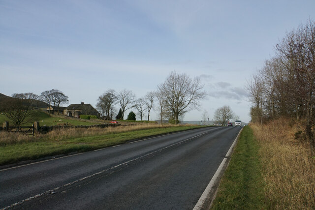
///flickers.juices.safe. Near Hayfield, Derbyshire
Nearby Locations
Related Wikis
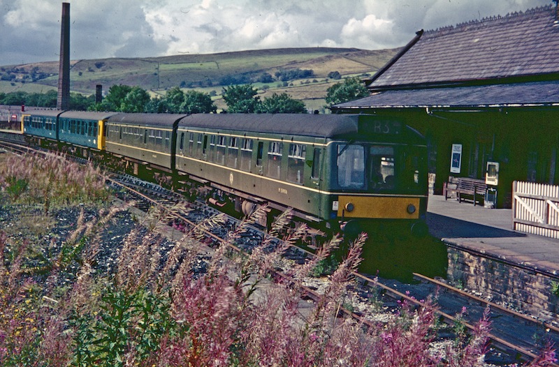
Hayfield railway station
Hayfield railway station was the terminus of the 3 mi (4.8 km) Hayfield branch from New Mills Central station in Derbyshire, England. == History == Hayfield...

St Matthew's Church, Hayfield
St Matthew's Church, Hayfield, is the parish church of Hayfield, Derbyshire, England. The church, parts of which date from the 14th century, is a Grade...
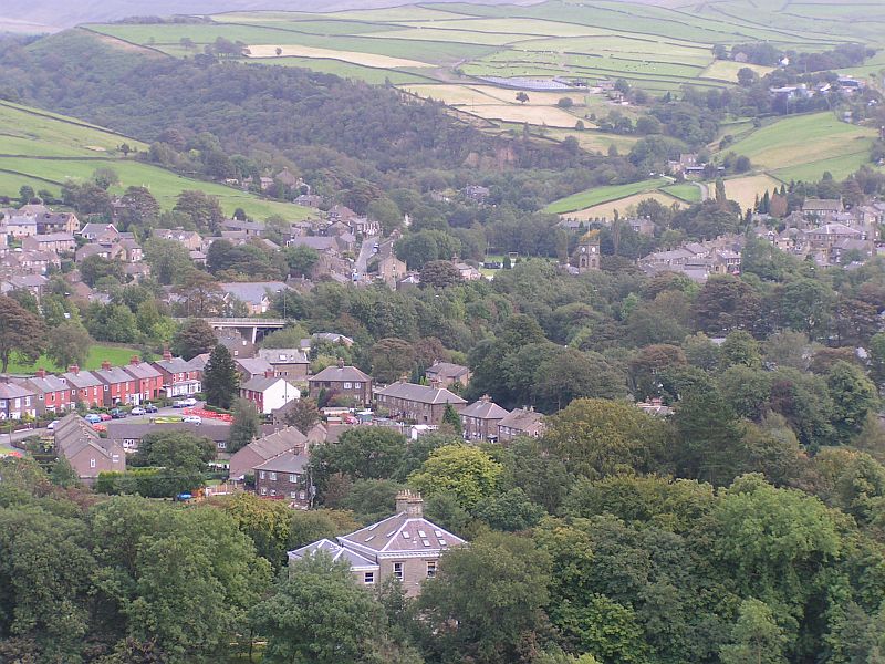
Hayfield, Derbyshire
Hayfield (SK037870) is a village and civil parish in High Peak, Derbyshire, England, with a population of around 2,700. The village is 3 miles (4.8 km...
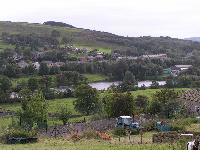
Birch Vale
Birch Vale is a village in the High Peak district of Derbyshire, just outside the boundary of the Peak District National Park, between New Mills and Hayfield...
Related Videos
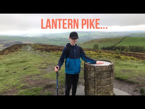
I climbed Lantern Pike (Hiking the Ethels)
If you enjoy then please subscribe because it would really help me out!! All music I use is production music, meaning that I should ...
Hayfield to Kinder Reservoir Circular Walk - Peak District
Jamie's vlog, November 2022.
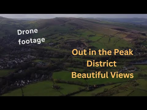
The Peak District- relaxing views of the countryside
This is a great spot for hiking in the Peak district. Along the Pennine bridleway near hayfield the peak district amongst the ...

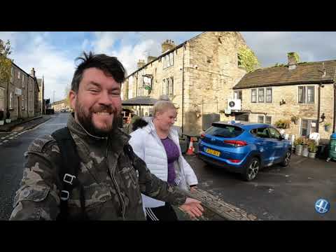
Pt.3 Exploring - Hayfield Village - Peak District
A short video of a walk around the village of Hayfield in the Peak District. Also a part of the Sett Valley Trail.
Nearby Amenities
Located within 500m of 53.374,-1.949Have you been to South Ridge Farm?
Leave your review of South Ridge Farm below (or comments, questions and feedback).