Highgate
Settlement in Derbyshire High Peak
England
Highgate
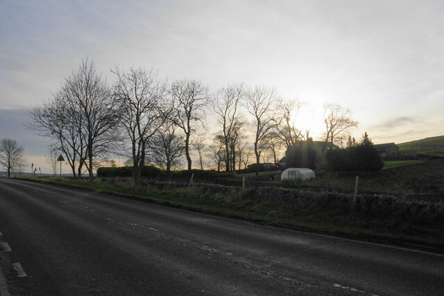
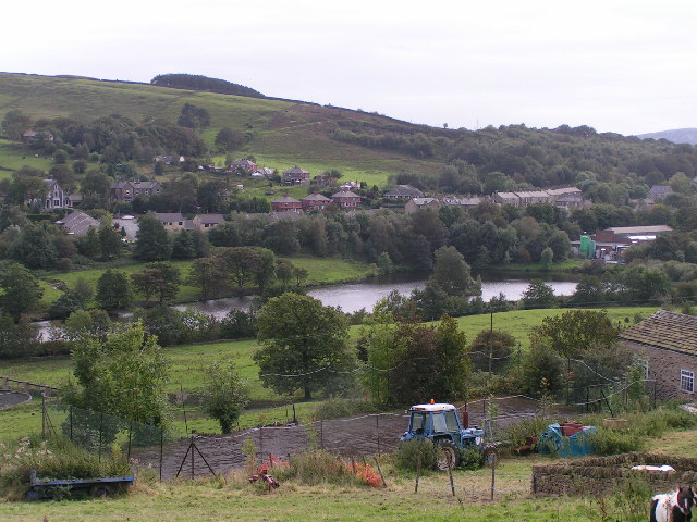
Highgate is a small village located in the county of Derbyshire, England. Situated in the East Midlands region, it lies within the picturesque Peak District National Park. With a population of around 500 residents, Highgate boasts a tranquil and close-knit community.
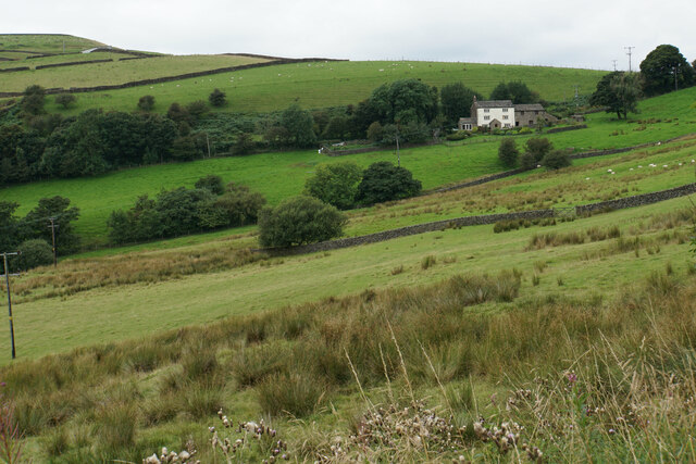
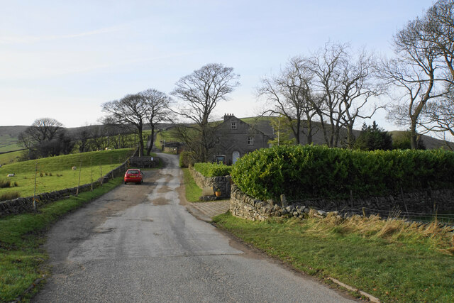
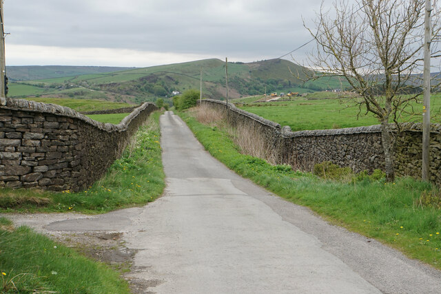
Surrounded by breathtaking natural beauty, Highgate offers visitors and residents alike a peaceful retreat. The village is characterized by its charming stone houses, some of which date back several centuries. The local architecture blends seamlessly into the rural landscape, creating a harmonious atmosphere.
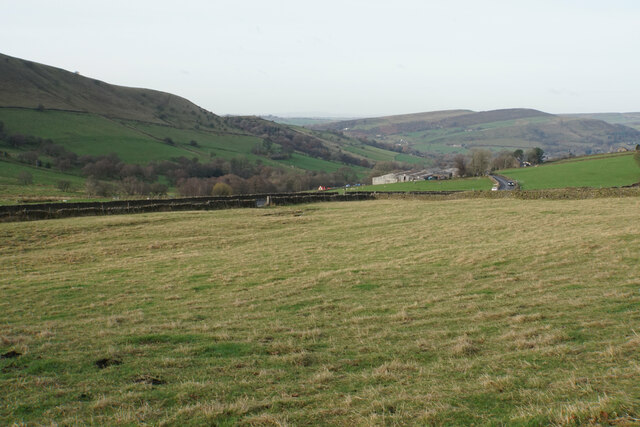
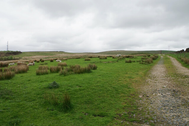
Highgate is known for its proximity to a variety of outdoor activities. The Peak District offers numerous opportunities for hiking, cycling, and exploring the stunning countryside. The village is also conveniently located near several historic landmarks, including the famous Chatsworth House, known for its exquisite gardens and impressive architecture.
Despite its small size, Highgate has a vibrant social scene. The village hosts regular events, such as summer fairs and community gatherings, which bring residents together. The local pub is a popular spot for both locals and visitors, offering a warm and friendly atmosphere.
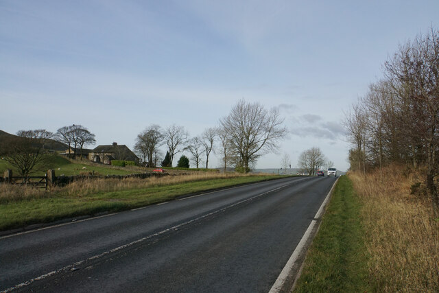
Highgate is well-connected to nearby towns and cities, with good transport links via road and public transportation. The village offers basic amenities, including a small convenience store and a post office. For more extensive shopping and services, the larger towns of Bakewell and Matlock are within a short distance.
In summary, Highgate is a charming village nestled in the stunning Peak District National Park. With its idyllic setting, friendly community, and access to outdoor activities, it offers a peaceful retreat for both residents and tourists seeking a slice of English countryside life.
If you have any feedback on the listing, please let us know in the comments section below.
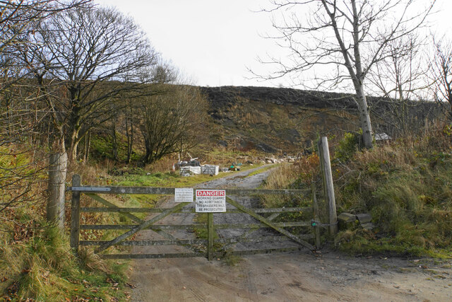
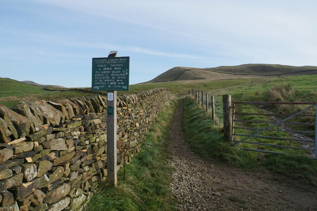
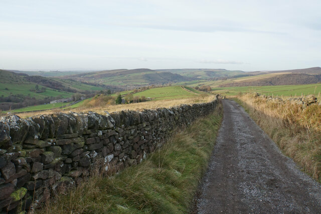
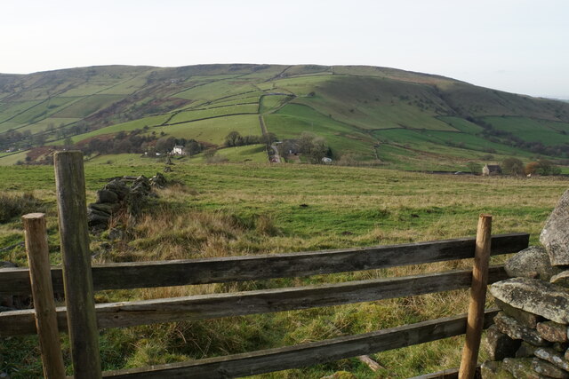
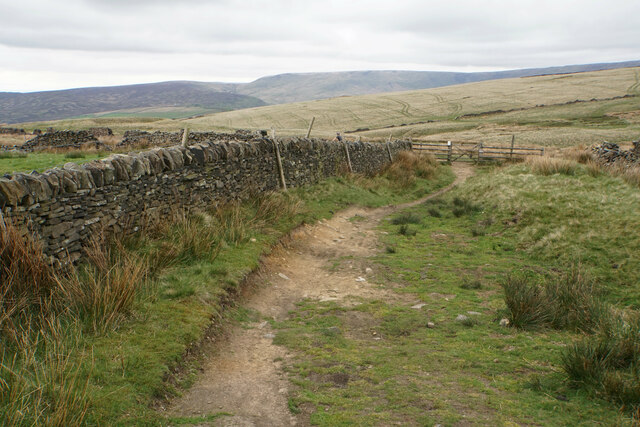
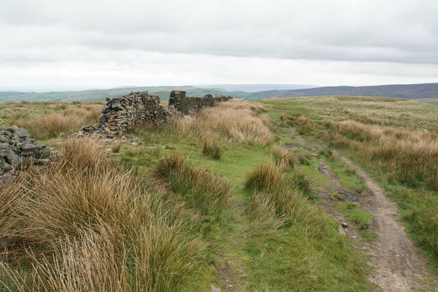
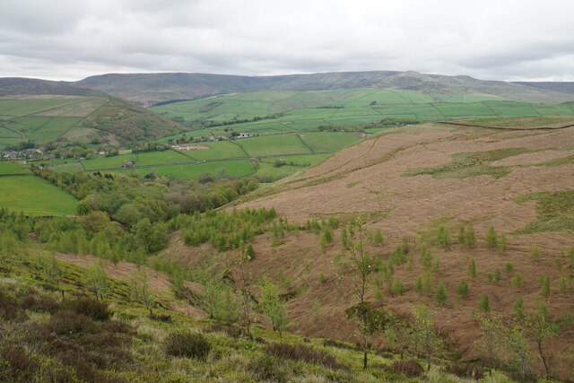
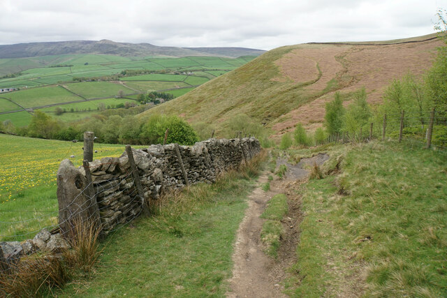
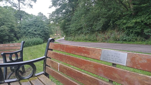
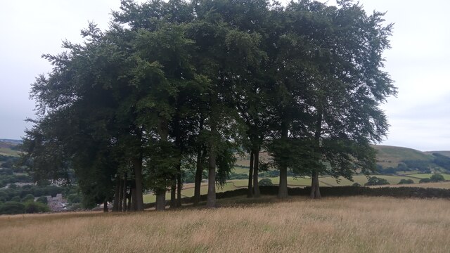
Highgate Images
Images are sourced within 2km of 53.37608/-1.9426013 or Grid Reference SK0386. Thanks to Geograph Open Source API. All images are credited.
Highgate is located at Grid Ref: SK0386 (Lat: 53.37608, Lng: -1.9426013)
Administrative County: Derbyshire
District: High Peak
Police Authority: Derbyshire
What 3 Words
///sorry.including.unzips. Near Hayfield, Derbyshire
Nearby Locations
Related Wikis
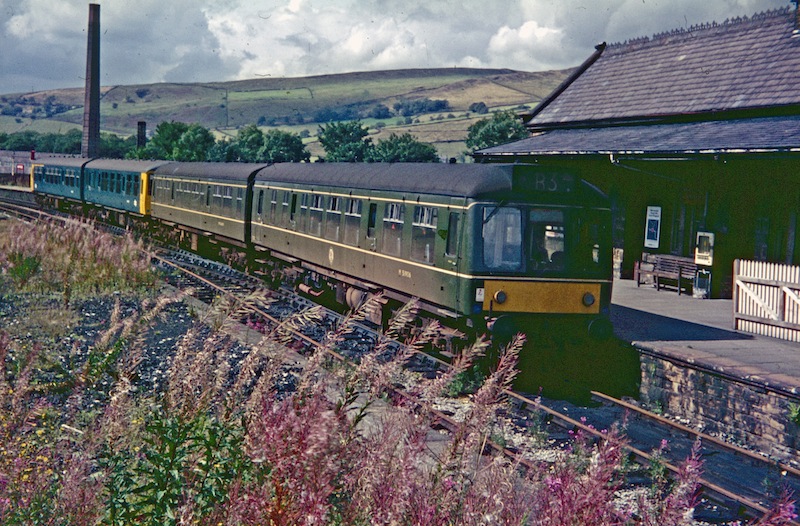
Hayfield railway station
Hayfield railway station was the terminus of the 3 mi (4.8 km) Hayfield branch from New Mills Central station in Derbyshire, England. == History == Hayfield...

St Matthew's Church, Hayfield
St Matthew's Church, Hayfield, is the parish church of Hayfield, Derbyshire, England. The church, parts of which date from the 14th century, is a Grade...
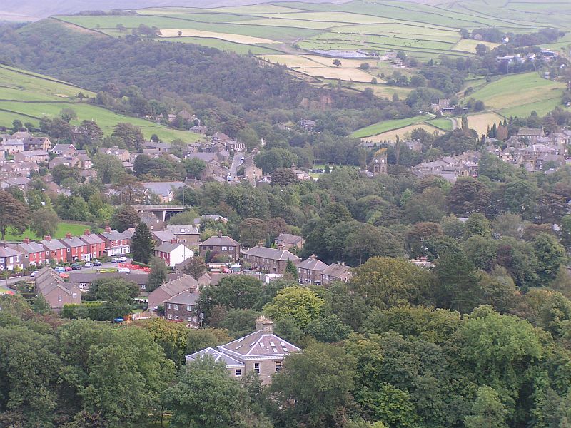
Hayfield, Derbyshire
Hayfield (SK037870) is a village and civil parish in High Peak, Derbyshire, England, with a population of around 2,700. The village is 3 miles (4.8 km...
Birch Vale
Birch Vale is a village in the High Peak district of Derbyshire, just outside the boundary of the Peak District National Park, between New Mills and Hayfield...
Nearby Amenities
Located within 500m of 53.37608,-1.9426013Have you been to Highgate?
Leave your review of Highgate below (or comments, questions and feedback).