Pen Cevn-y-Gaer

Heritage Site in Brecknockshire

Wales

Pen Cevn-y-Gaer

Bishop's Meadow camping park Even in March there are plenty of pitches in use.  Mind you, that's not a bad view to wake  up to is it?
Bishop's Meadow camping park Credit: Graham Horn

Pen Cevn-y-Gaer is a historic heritage site located in the county of Brecknockshire, Wales. Situated on a prominent hilltop near the village of Crickhowell, it offers breathtaking views of the surrounding countryside.

This ancient hillfort dates back to the Iron Age, with evidence suggesting it was constructed around 400 BC. The site covers an area of approximately 5 acres and is enclosed by a stone rampart, which would have provided defense for the inhabitants. The ramparts are still visible today, although they have suffered some erosion over the centuries.

The interior of the hillfort contains the remains of several roundhouses, which were the primary dwellings of the Iron Age community that once inhabited the site. Archaeological excavations have revealed traces of domestic activities, such as hearths and storage pits, providing valuable insights into the daily lives of the people who lived here.

Pen Cevn-y-Gaer is also known for its strategic location, as it sits at the crossroads of several ancient trade routes. This would have made it an important center for commerce and communication during its time. The hillfort's position on the hilltop further enhances its significance, as it would have provided a commanding view of the surrounding landscape, enabling the inhabitants to monitor approaching threats.

Today, Pen Cevn-y-Gaer is a popular destination for history enthusiasts and visitors seeking to explore the region's rich heritage. The site is managed by a local heritage organization, which offers guided tours and educational activities to promote understanding and appreciation of this ancient monument.

If you have any feedback on the listing, please let us know in the comments section below.

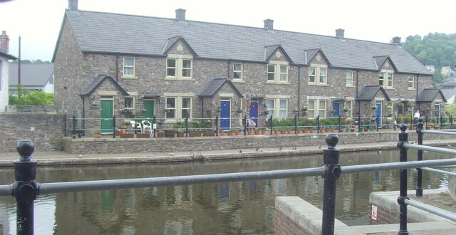
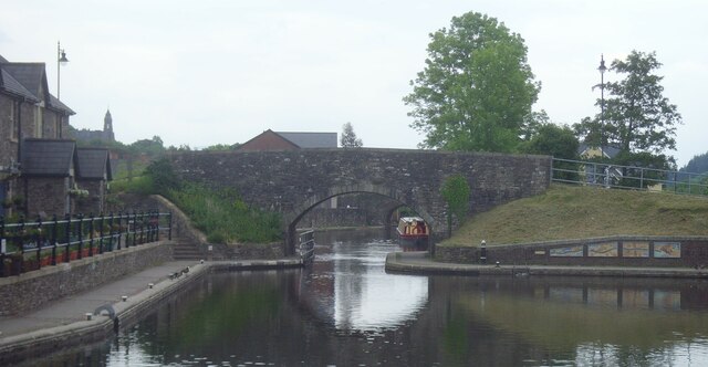
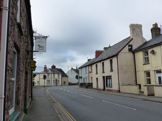
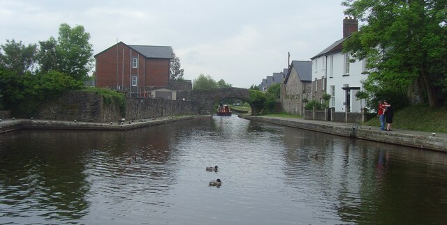
Pen Cevn-y-Gaer Images

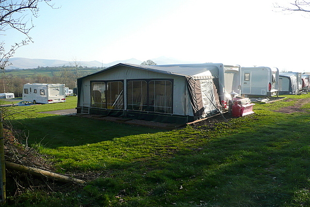
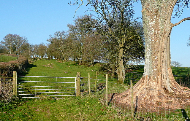
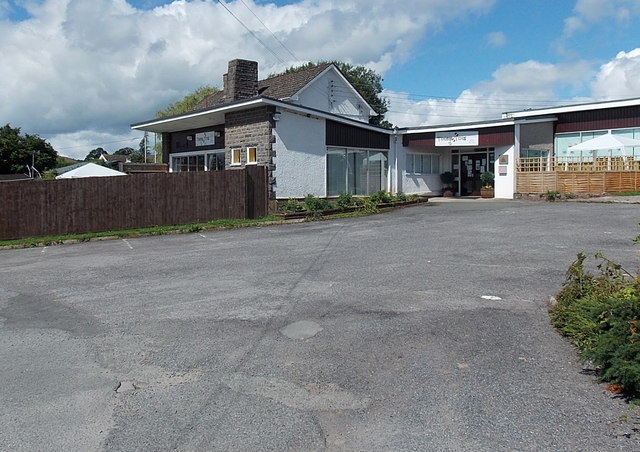
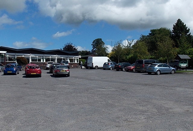
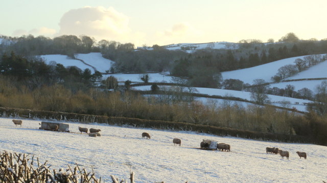
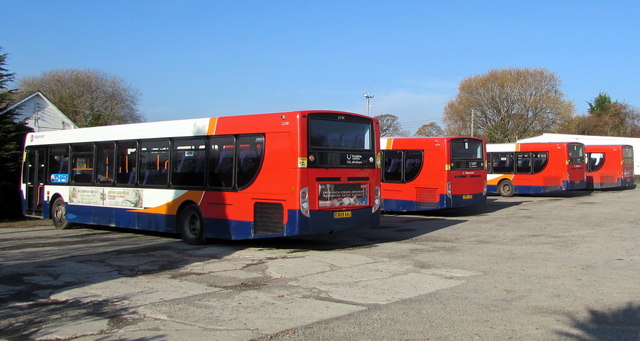
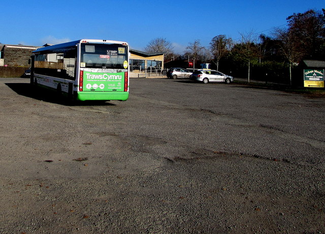
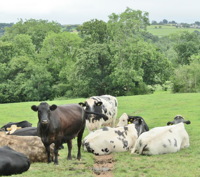
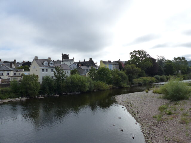
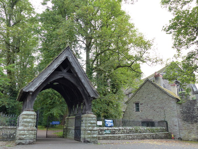
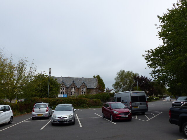
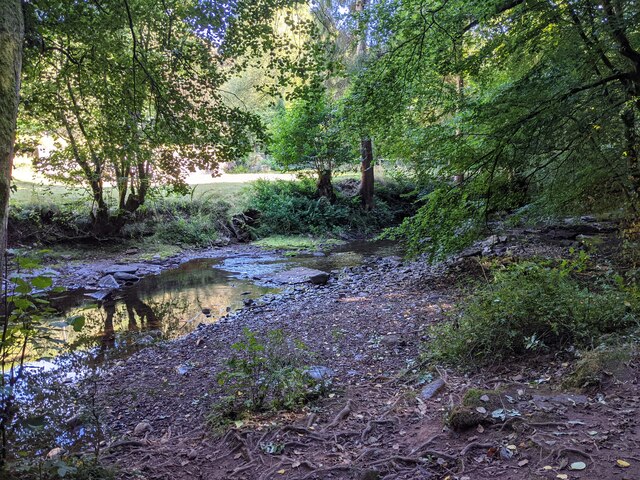
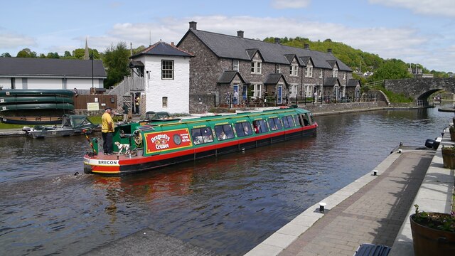
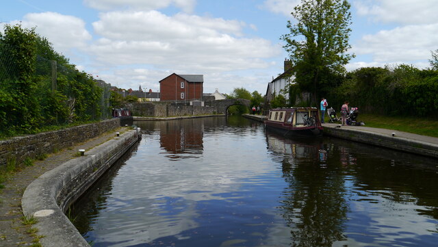
Images are sourced within 2km of 51.946/-3.373 or Grid Reference SO0528. Thanks to Geograph Open Source API. All images are credited.

Bishop's Meadow camping park Even in March there are plenty of pitches in use.  Mind you, that's not a bad view to wake  up to is it?
Bishop's Meadow camping park
Even in March there are plenty of pitches in use. Mind you, that's not a bad view to wake up to is it?
Bridleway from Bishop's Meadow This bridleway is very pleasant, gently ascending between banks and pasture land.
Bridleway from Bishop's Meadow
This bridleway is very pleasant, gently ascending between banks and pasture land.
Teeny Tots day nursery near Brecon Located in Bishops Meadow, Hay Road (the B4602).
Teeny Tots day nursery near Brecon
Located in Bishops Meadow, Hay Road (the B4602).
Entrance to Bishop's Meadow Caravan and Camping Park near Brecon The entrance is from the B4602 Hay Road near Brecon. The reception office is in view.
The caravan and camping site is located to the north (behind) and east of the office.
Entrance to Bishop's Meadow Caravan and Camping Park near Brecon
The entrance is from the B4602 Hay Road near Brecon. The reception office is in view. The caravan and camping site is located to the north (behind) and east of the office.
Sheep pasture in winter Looking east from the B4602 near Troedyrharn.
Sheep pasture in winter
Looking east from the B4602 near Troedyrharn.
Stagecoach Depot, Bishop's Meadow near Brecon Not in use on a Sunday morning, four Stagecoach buses are parked at the western edge of the depot on the north side of the B4602.
Stagecoach Depot, Bishop's Meadow near Brecon
Not in use on a Sunday morning, four Stagecoach buses are parked at the western edge of the depot on the north side of the B4602.
TrawsCymru bus in the Stagecoach Depot, Bishop's Meadow near Brecon At a scheduled stop on TrawsCymru bus route T4 from Cardiff to Newtown (Powys)
TrawsCymru bus in the Stagecoach Depot, Bishop's Meadow near Brecon
At a scheduled stop on TrawsCymru bus route T4 from Cardiff to Newtown (Powys)
Brecon - Pastoral Landscape Cows grazing in the Honddu Valley north of Brecon.
Brecon - Pastoral Landscape
Cows grazing in the Honddu Valley north of Brecon.
Brecon Brecon canal houses, along the canal
Brecon
Brecon canal houses, along the canal
Brecon Brecon canal
Brecon
Brecon canal
Orchard Street, looking west
Brecon Town Brecon Town Canal
Brecon Town
Brecon Town Canal
The river Usk at Brecon, looking east from Bridge Street
Gate into the cathedral grounds
Car park at the cathedral
The river Honddu in woodland
Brecon Brecon Canal, the canal boat leaves for a canal cruise
Brecon
Brecon Canal, the canal boat leaves for a canal cruise
Brecon Brecon Canals
Brecon
Brecon Canals
Show me another place!

Pen Cevn-y-Gaer is located at Grid Ref: SO0528 (Lat: 51.946, Lng: -3.373)

Unitary Authority: Powys

Police Authority: Dyfed Powys

Also known as: Slwch Tump

What 3 Words

///outs.washroom.shocks. Near Brecon, Powys

Related Wikis

Brecon East

Brecon East' (Welsh: Dwyrain Aberhonddu), formerly St Mary, is the name of an electoral ward in the town of Brecon, Powys, Wales. It covers the town centre...

Brecon Congregational Memorial College

Brecon Congregational Memorial College was a Congregational college in Brecon, Powys, Mid Wales. The college graduated ministers and missionaries who...

Brecon transmitting station

The Brecon transmitting station was originally built by the IBA in 1970 as a relay for VHF 405-line analogue television: one of the last 405-line TV stations...

Watton (B&MR) railway station

Watton railway station was a station situated in Brecon, Powys, Wales. The station was opened by the Brecon and Merthyr Railway in 1863. It closed in 1871...

Nearby Amenities

Located within 500m of 51.946,-3.373
Turning Circle
Lat/Long: 51.9459361/-3.3795101
Noexit: yes
Lat/Long: 51.9426802/-3.3684372
Location Transition: yes
Material: wood
Power: pole
Lat/Long: 51.9415876/-3.3731717
St. Eluned's Chapel
Historic: archaeological_site
Ruins: yes
Lat/Long: 51.947948/-3.3723511
Camden Stores Farm Shop
Shop: supermarket
Lat/Long: 51.9415406/-3.3726481
Direction: SW
Generator Method: photovoltaic
Generator Output Electricity: yes
Generator Solar Modules: 15
Generator Source: solar
Generator Type: solar_photovoltaic_panel
Location: roof
Power: generator
Lat/Long: 51.9450618/-3.3789289
Direction: SSW
Generator Method: photovoltaic
Generator Output Electricity: yes
Generator Solar Modules: 16
Generator Source: solar
Generator Type: solar_photovoltaic_panel
Location: roof
Power: generator
Lat/Long: 51.9445162/-3.3776012
Direction: SSW
Generator Method: photovoltaic
Generator Output Electricity: yes
Generator Solar Modules: 16
Generator Source: solar
Generator Type: solar_photovoltaic_panel
Location: roof
Power: generator
Lat/Long: 51.9442137/-3.3772672
Direction: SW
Generator Method: photovoltaic
Generator Output Electricity: yes
Generator Solar Modules: 10
Generator Source: solar
Generator Type: solar_photovoltaic_panel
Location: roof
Power: generator
Lat/Long: 51.9442566/-3.379521
Direction: 215
Generator Method: photovoltaic
Generator Output Electricity: yes
Generator Solar Modules: 16
Generator Source: solar
Generator Type: solar_photovoltaic_panel
Location: roof
Power: generator
Lat/Long: 51.9437176/-3.3780009
Direction: SSW
Generator Method: photovoltaic
Generator Output Electricity: yes
Generator Solar Modules: 20
Generator Source: solar
Generator Type: solar_photovoltaic_panel
Location: roof
Power: generator
Lat/Long: 51.9432931/-3.3768016
Direction: 165
Generator Method: photovoltaic
Generator Output Electricity: yes
Generator Solar Modules: 14
Generator Source: solar
Generator Type: solar_photovoltaic_panel
Location: roof
Power: generator
Lat/Long: 51.9430397/-3.3713651
Direction: SSW
Generator Method: photovoltaic
Generator Output Electricity: yes
Generator Solar Modules: 14
Generator Source: solar
Generator Type: solar_photovoltaic_panel
Location: roof
Power: generator
Lat/Long: 51.9421171/-3.3734921
Height: 45.7
Man Made: tower
Tower Construction: guyed_lattice
Tower Type: communication
Lat/Long: 51.9491003/-3.3773275
Slwch Tump
Ele: 246
Natural: peak
Lat/Long: 51.9470332/-3.3756066
The data included in this document is from www.openstreetmap.org. The data is made available under ODbL.

Have you been to Pen Cevn-y-Gaer?

Leave your review of Pen Cevn-y-Gaer below (or comments, questions and feedback).