Sling Pool
Heritage Site in Worcestershire
England
Sling Pool
Sling Pool, located in Worcestershire, England, is a renowned heritage site that holds historical and ecological significance. This man-made lake, covering an area of approximately 5 hectares, was originally excavated in the early 19th century to supply water for the nearby Sling Glassworks. The pool obtained its name from the process of slinging, which involved swinging red-hot glass to shape it into various objects.
Today, Sling Pool serves as a vital habitat for an array of flora and fauna, attracting nature enthusiasts and birdwatchers alike. The surrounding area consists of lush woodland, creating a serene environment for diverse wildlife to thrive. Visitors can spot a variety of bird species, such as herons, kingfishers, and grebes, making it a popular destination for birdwatching enthusiasts.
In addition to its ecological significance, Sling Pool also holds historical importance. It stands as a reminder of the industrial heritage of Worcestershire, serving as evidence of the once-thriving glassmaking industry in the region. The pool's connection to the Sling Glassworks is a testament to the area's rich industrial past.
Visitors to Sling Pool can enjoy leisurely walks around the lake, taking in the picturesque surroundings and observing the diverse flora and fauna. The site is also equipped with picnic areas, allowing visitors to relax and enjoy the tranquil atmosphere. Whether it's for a peaceful nature walk or to delve into the area's industrial heritage, Sling Pool offers a unique and enriching experience for all who visit.
If you have any feedback on the listing, please let us know in the comments section below.
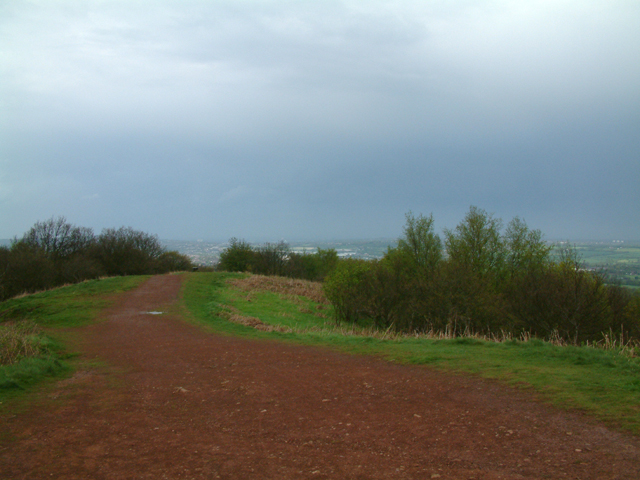
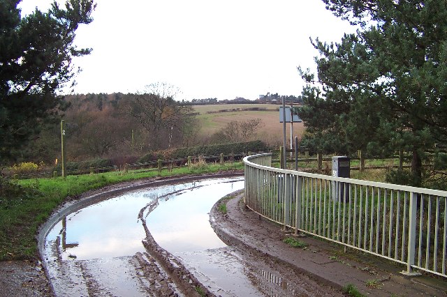
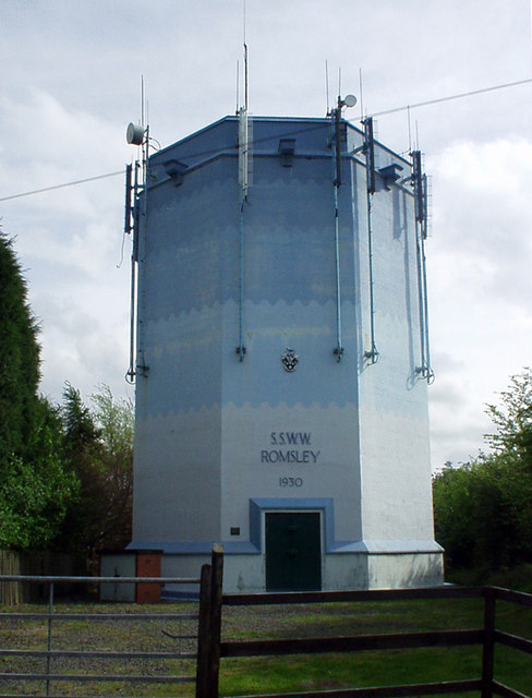
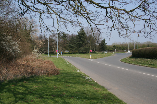
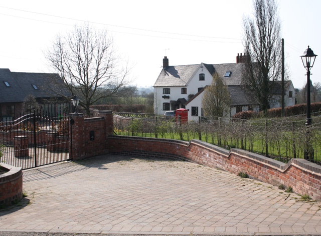
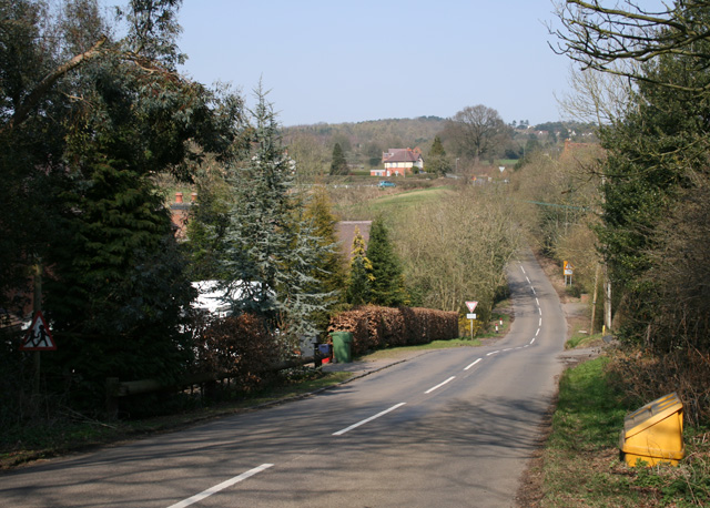
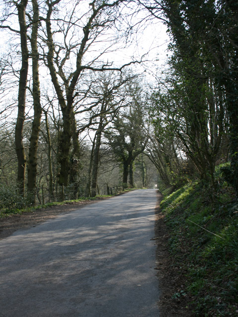
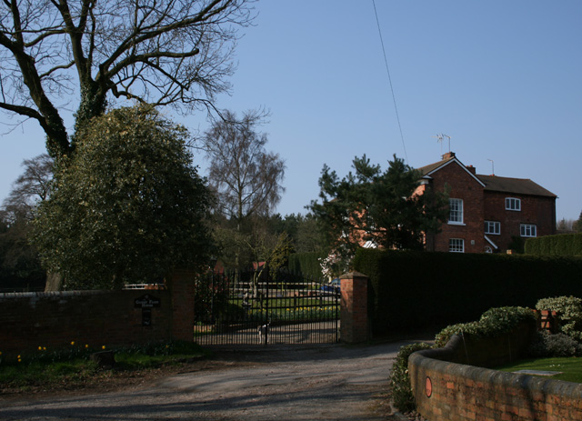
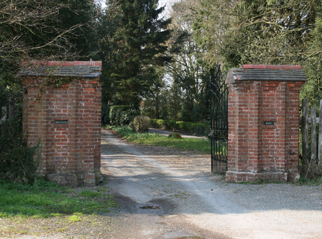
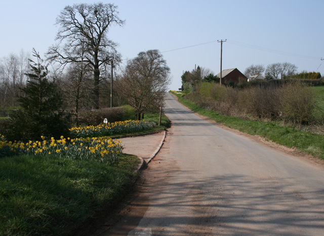
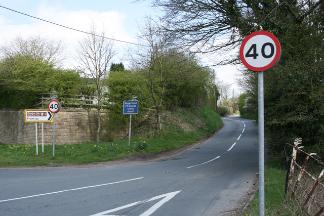
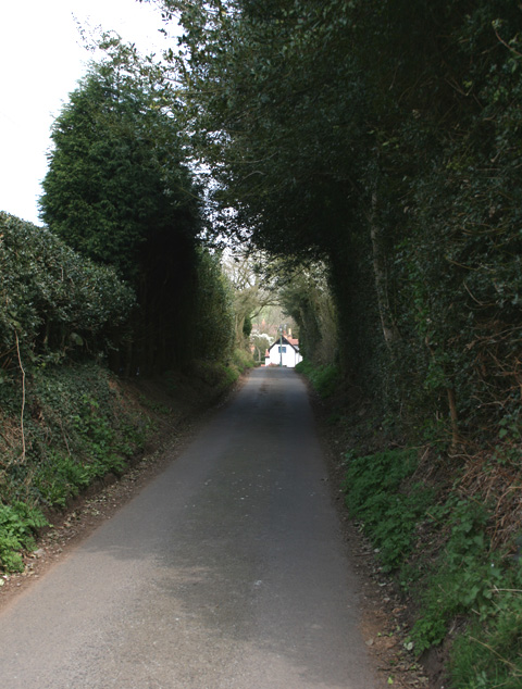
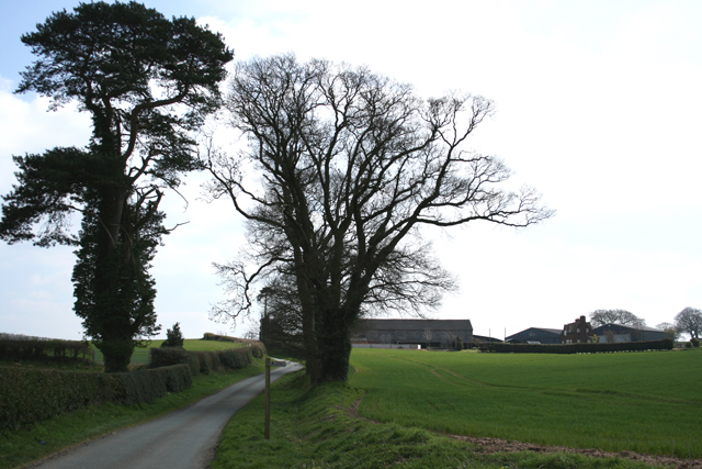
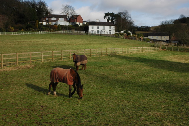
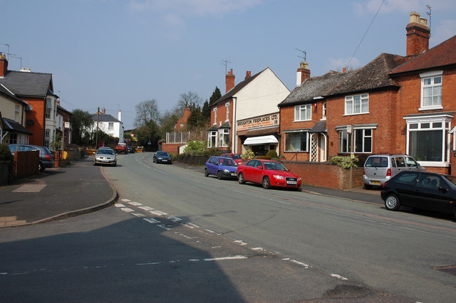
Sling Pool Images
Images are sourced within 2km of 52.398/-2.08 or Grid Reference SO9477. Thanks to Geograph Open Source API. All images are credited.


Sling Pool is located at Grid Ref: SO9477 (Lat: 52.398, Lng: -2.08)
Police Authority: West Merica
What 3 Words
///images.buzz.blame. Near Belbroughton, Worcestershire
Nearby Locations
Related Wikis

Bell End
Bell End is a village in the English county of Worcestershire. It is situated approximately 2 miles (3 km) south-east of Hagley on the A491, north of Bromsgrove...

Castlebourne folly
The Castlebourne folly in the parish of Belbroughton, Worcestershire, England, was built as a sham castle towards the end of the eighteenth century and...

Bromsgrove (UK Parliament constituency)
Bromsgrove is a constituency in Worcestershire represented in the House of Commons of the UK Parliament since 2010 by Sajid Javid of the Conservative Party...

Clent Hills
The Clent Hills lie 10 miles (16 km) south-west of Birmingham city centre in Clent, Worcestershire, England. The closest towns are Stourbridge and Halesowen...

Walton Hill
At 316 metres (1,037 ft) above sea level, Walton Hill is the highest point in the range of hills in northern Worcestershire known as the Clent Hills. It...
Holy Cross, Worcestershire
Holy Cross is one of five hamlets in village of Clent in the county of Worcestershire, England. The hamlet consists of housing apart from the Bell and...
Waseley Hills Country Park
Waseley Hills Country Park is 150 acres (0.61 km2) a Country Park and Local Nature Reserve owned and managed by Worcestershire County Council's Countryside...

Romsley, Worcestershire
Romsley is a village and civil parish in the Bromsgrove District of Worcestershire, England, on the east side of the Clent Hills about 4 miles south of...
Nearby Amenities
Located within 500m of 52.398,-2.08Have you been to Sling Pool?
Leave your review of Sling Pool below (or comments, questions and feedback).