Bell End

Settlement in Worcestershire Bromsgrove

England

Bell End

The Talbot, Belbroughton
The Talbot, Belbroughton Credit: Philip Halling

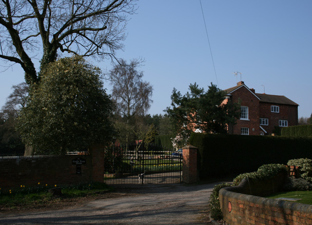
Bell End is a small village located in Worcestershire, England. Situated approximately 17 miles south-west of Birmingham, it is part of the Bromsgrove district. Despite its rather humorous name, Bell End is a peaceful and picturesque rural community.

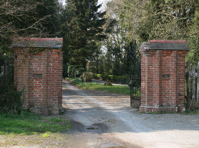
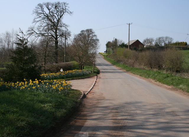
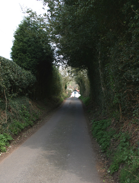
The village is surrounded by beautiful countryside, with rolling hills and charming farmland. It is known for its scenic landscapes and is popular among nature enthusiasts and hikers. The area is dotted with traditional cottages and historic buildings, giving it a quaint and timeless atmosphere.

Bell End has a close-knit community, with a population of around 400 residents. The village is home to a local pub, The Bell Inn, which serves as a social hub for locals and visitors alike. The pub offers a range of traditional British dishes and ales, providing a cozy and welcoming atmosphere.

Despite its small size, Bell End has gained some international attention due to its somewhat controversial name. This has led to occasional media coverage and even some light-hearted controversy. Nevertheless, the residents have embraced their village's name with humor and pride, organizing community events and initiatives that celebrate their unique identity.

Overall, Bell End is a charming village that offers a peaceful retreat from the hustle and bustle of nearby urban areas. Its beautiful surroundings, friendly community, and intriguing name make it a memorable destination for visitors looking to experience the quintessential English countryside.

If you have any feedback on the listing, please let us know in the comments section below.
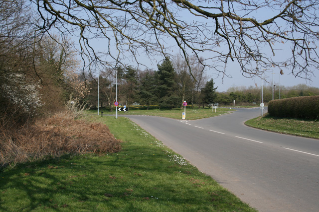
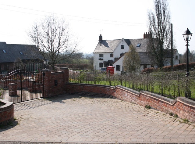
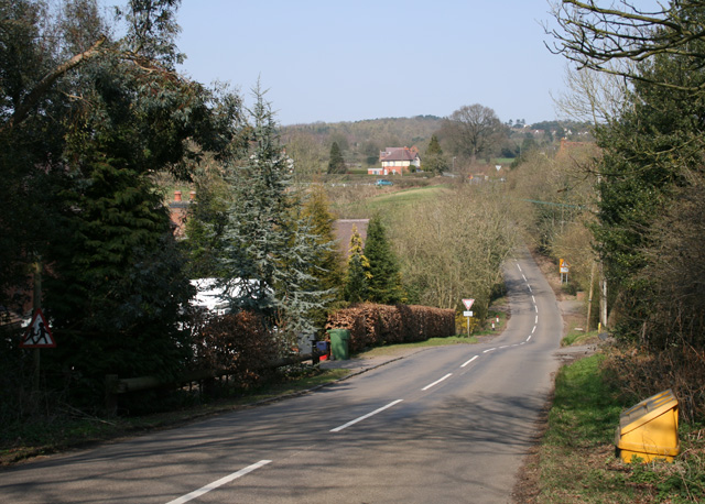
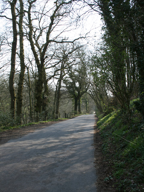
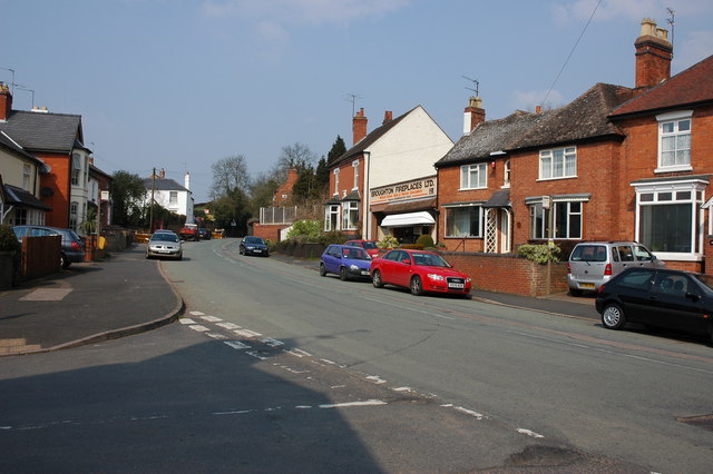
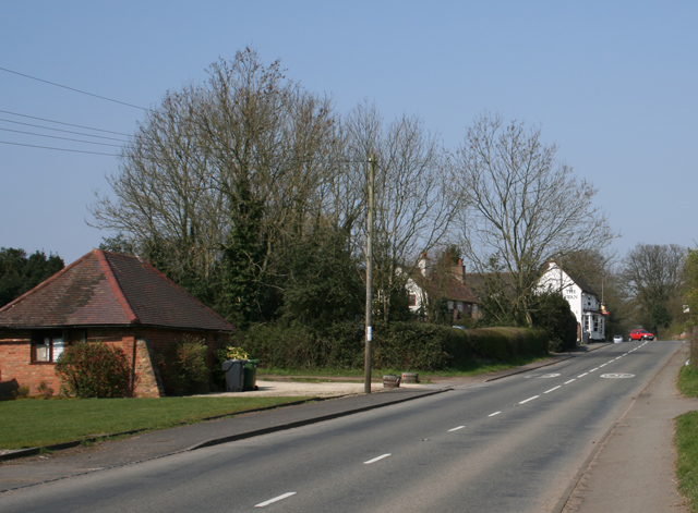
Bell End Images

Images are sourced within 2km of 52.393206/-2.08961 or Grid Reference SO9477. Thanks to Geograph Open Source API. All images are credited.

The Talbot, Belbroughton
Sport recreation centre, Belbroughton
Swan Inn at Fairfield Road is the B4091 through Fairfield
Swan Inn at Fairfield
Road is the B4091 through Fairfield
Roundabout near Fairfield Court Junction of the A491 and the B4091 looking east of north
Roundabout near Fairfield Court
Junction of the A491 and the B4091 looking east of north
The Stables Near Madeley Heath, part of Lower Madely Farm. Sports a red K6 telephone box!
The Stables
Near Madeley Heath, part of Lower Madely Farm. Sports a red K6 telephone box!
Madeley Heath Steep down and up through Madeley Heath towards a fiveways at Bell Heath
Madeley Heath
Steep down and up through Madeley Heath towards a fiveways at Bell Heath
Shut Mill Lane Next to Great Farley Wood
Shut Mill Lane
Next to Great Farley Wood
Woodfield Lane Road from Sling Common towards Bell Heath
Woodfield Lane
Road from Sling Common towards Bell Heath
Gorse Farm House Just off Gorse Green Lane, before it joins the A491
Gorse Farm House
Just off Gorse Green Lane, before it joins the A491
Talbot at Belbroughton
Mearse Lane Junction of the B4188 and Mearse Lane, Hartle
Mearse Lane
Junction of the B4188 and Mearse Lane, Hartle
Gates to Fairfield Court Situated on the B4091 close to the junction with the A491
Gates to Fairfield Court
Situated on the B4091 close to the junction with the A491
Ye Olde Horseshoe Inn, Belbroughton
Hartle Village On the B4188
Hartle Village
On the B4188
Belbroughton Parish Notices
Gates in Gorse Green Lane Opposite Gorse Farm House
Gates in Gorse Green Lane
Opposite Gorse Farm House
Harbours Hill Fine show of spring flowers. Madeley Heath is just over the hill.
Harbours Hill
Fine show of spring flowers. Madeley Heath is just over the hill.
Cottage at Walton Pool South West of Clent Village
Cottage at Walton Pool
South West of Clent Village
Show me another place!

Bell End is located at Grid Ref: SO9477 (Lat: 52.393206, Lng: -2.08961)

Administrative County: Worcestershire

District: Bromsgrove

Police Authority: West Mercia

What 3 Words

///rabble.shells.ample. Near Belbroughton, Worcestershire

Related Wikis

Bell End

Bell End is a village in the English county of Worcestershire. It is situated approximately 2 miles (3 km) south-east of Hagley on the A491, north of Bromsgrove...

Castlebourne folly

The Castlebourne folly in the parish of Belbroughton, Worcestershire, England, was built as a sham castle towards the end of the eighteenth century and...

Bromsgrove (UK Parliament constituency)

Bromsgrove is a constituency in Worcestershire represented in the House of Commons of the UK Parliament since 2010 by Sajid Javid of the Conservative Party...

Belbroughton

Belbroughton ( bel-BRAW-tən) is a village and civil parish in the Bromsgrove District of Worcestershire, England. According to the 2021 census it had...

Holy Cross, Worcestershire

Holy Cross is one of five hamlets in village of Clent in the county of Worcestershire, England. The hamlet consists of housing apart from the Bell and...

Fairfield, Worcestershire

Fairfield is a village in the district of Bromsgrove, Worcestershire, England. It is in the civil parish of Belbroughton. The village of Fairfield and...

Clent Hills

The Clent Hills lie 10 miles (16 km) south-west of Birmingham city centre in Clent, Worcestershire, England. The closest towns are Stourbridge and Halesowen...

Walton Hill

At 316 metres (1,037 ft) above sea level, Walton Hill is the highest point in the range of hills in northern Worcestershire known as the Clent Hills. It...

Nearby Amenities

Located within 500m of 52.393206,-2.08961
Bus Stop
Bell Hall
Bus: yes
Naptan AtcoCode: 2000G621002
Naptan Bearing: W
Naptan CommonName: Belbroughton- Bell Hall
Naptan Indicator: Adj
Naptan Landmark: Belbroughton Inn
Naptan NaptanCode: wocgmadp
Naptan Street: Hartle Lane
Naptan Verified: no
Public Transport: platform
Source: naptan_import
Lat/Long: 52.3925431/-2.0942873
Barrier: stile
Lat/Long: 52.390925/-2.0834342
Barrier: stile
Lat/Long: 52.3909398/-2.0835496
Barrier: stile
Lat/Long: 52.3927698/-2.0835388
Barrier: stile
Lat/Long: 52.3933786/-2.0836461
Bell End
Place: hamlet
Wikidata: Q731440
Lat/Long: 52.3928896/-2.0903134
Give Way
Lat/Long: 52.3926359/-2.0900986
Traffic Signals
Lat/Long: 52.3930402/-2.0923068
Traffic Signals
Lat/Long: 52.3930582/-2.0923544
Traffic Signals
Lat/Long: 52.3931065/-2.0920131
Traffic Signals
Lat/Long: 52.3933103/-2.0922598
Traffic Signals
Lat/Long: 52.3933209/-2.0921244
Londis
Brand: Londis
Brand Wikidata: Q21008564
Brand Wikipedia: en:Londis (United Kingdom)
Operator: Motor Fuel Group
Operator Website: https://www.motorfuelgroup.com/locations/bell-fs449/
Operator Wikidata: Q107271358
Shop: convenience
Lat/Long: 52.3910932/-2.0868364
Traffic Signals
Source: survey
Lat/Long: 52.3922971/-2.09011
Traffic Signals
Source: survey
Lat/Long: 52.3925017/-2.0900819
Traffic Signals
Source: survey
Lat/Long: 52.3925254/-2.0902991
Bus Stop
Bell Inn
Bus: yes
Public Transport: platform
Lat/Long: 52.3915563/-2.0880806
Bus Stop
Bell Inn
Bus: yes
Public Transport: platform
Lat/Long: 52.3920572/-2.0897919
The data included in this document is from www.openstreetmap.org. The data is made available under ODbL.

Have you been to Bell End?

Leave your review of Bell End below (or comments, questions and feedback).