Shian Hillock

Heritage Site in Nairnshire

Scotland

Shian Hillock

Northern edge of Keppernach Wood To the north there is a vast area of pine trees, some quite young on former moorland.
Northern edge of Keppernach Wood Credit: Richard Webb

Shian Hillock, located in Nairnshire, is a renowned heritage site that captivates visitors with its rich historical significance and natural beauty. Situated amidst the picturesque landscape of the Scottish Highlands, this site offers an intriguing glimpse into the region's ancient past.

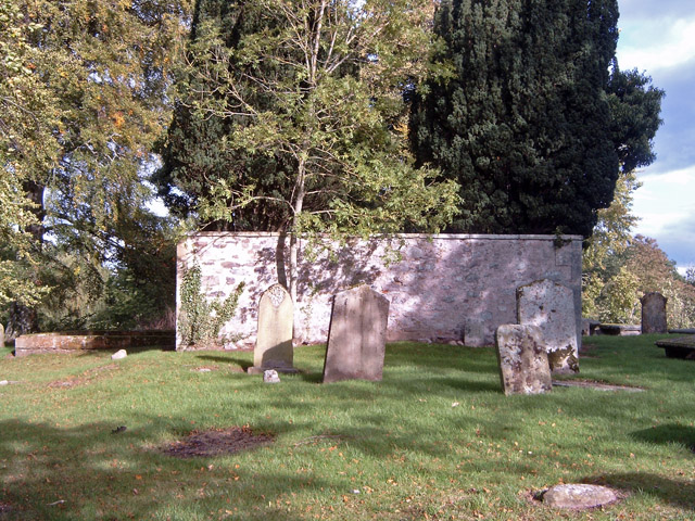
Shian Hillock is primarily known for its well-preserved ancient burial cairn, which dates back to the Neolithic period. The cairn is an impressive structure composed of stones and earth, carefully constructed to house the remains of the deceased. Visitors can explore the cairn and marvel at the incredible craftsmanship that has withstood the test of time.

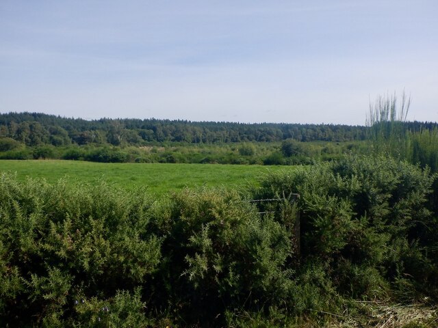
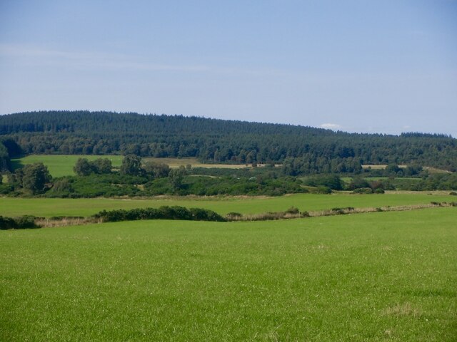
Apart from the burial cairn, Shian Hillock also boasts a diverse range of flora and fauna. The site is enveloped by lush greenery, creating a tranquil and serene atmosphere that is perfect for nature enthusiasts. Visitors can expect to encounter various species of birds, rare plants, and even occasional sightings of wildlife.

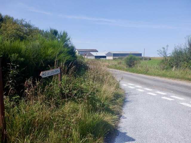
The heritage site is easily accessible, with well-maintained walking paths and informative signposts guiding visitors throughout the area. Interpretive panels provide fascinating insights into the historical and cultural significance of Shian Hillock, allowing visitors to fully appreciate the site's importance.

Shian Hillock is a popular destination for tourists and locals alike, attracting history enthusiasts, nature lovers, and those seeking a peaceful retreat. Its combination of ancient burial cairns, stunning natural surroundings, and educational resources make it a must-visit location for anyone interested in Scotland's rich heritage.

If you have any feedback on the listing, please let us know in the comments section below.

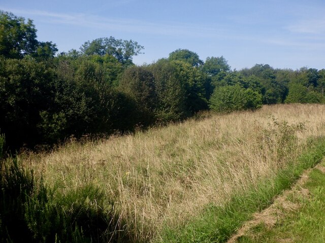
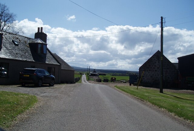
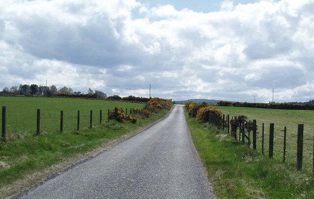
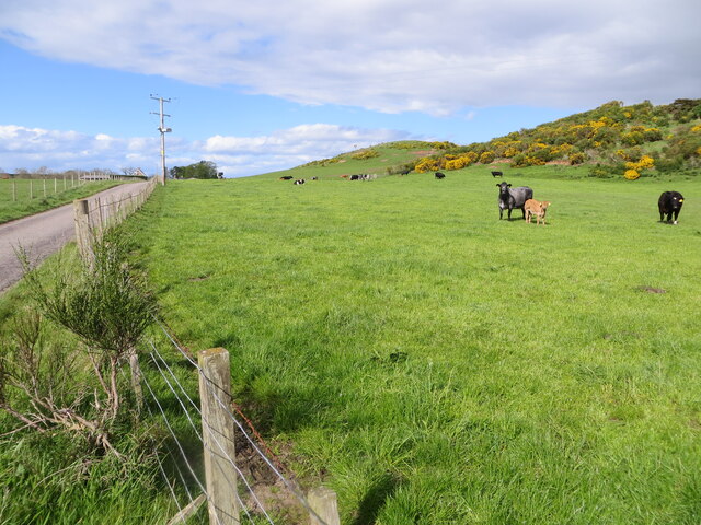
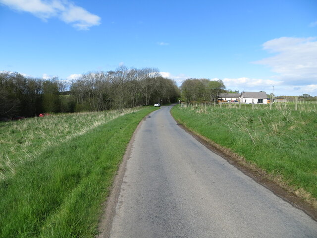
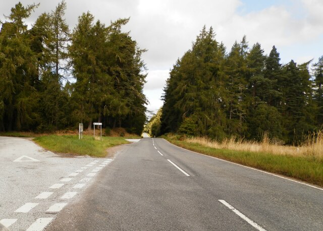
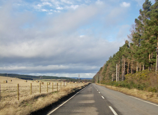
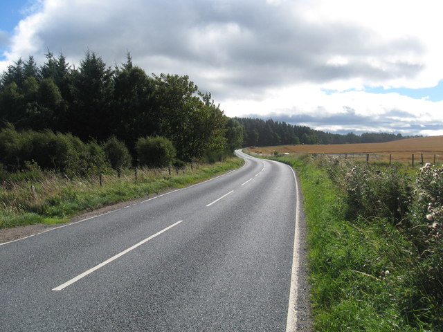
Shian Hillock Images

Images are sourced within 2km of 57.523/-3.812 or Grid Reference NH9149. Thanks to Geograph Open Source API. All images are credited.

Northern edge of Keppernach Wood To the north there is a vast area of pine trees, some quite young on former moorland.
Northern edge of Keppernach Wood
To the north there is a vast area of pine trees, some quite young on former moorland.
Achavraat North of the big forest now, and the main use of the land is cattle rearing.
Achavraat
North of the big forest now, and the main use of the land is cattle rearing.
Fields, Achavraat View towards The Ord.
Fields, Achavraat
View towards The Ord.
Grassland, Midfleenas The ridge in the background is a glacial deposit and has been quarried for gravel.
Grassland, Midfleenas
The ridge in the background is a glacial deposit and has been quarried for gravel.
Unused ground, Littlemill An ungrazed, unmown and unfenced bit of grassland beside the road and Black Burn.  Will probably end up sprouting a glass gable.
Unused ground, Littlemill
An ungrazed, unmown and unfenced bit of grassland beside the road and Black Burn. Will probably end up sprouting a glass gable.
Midfleenas Farm
Midfleenas Farm
Minor road south of Midfleenas
Pastureland hosting cows and their calves near Midfeenas Looking north-eastward.
Pastureland hosting cows and their calves near Midfeenas
Looking north-eastward.
Minor road approaching Littlemill Looking north-eastward.
Minor road approaching Littlemill
Looking north-eastward.
The A939 at Rehaurie
A939 approaching Achnatone House
Ordnance Survey  Flush Bracket 11946 This can be found on the wall of a building at Achavraat.
For more detail see : <span class="nowrap"><a title="http://www.bench-marks.org.uk/bm22668" rel="nofollow ugc noopener" href="http://www.bench-marks.org.uk/bm22668">Link</a><img style="margin-left:2px;" alt="External link" title="External link - shift click to open in new window" src="https://s1.geograph.org.uk/img/external.png" width="10" height="10"/></span>
Ordnance Survey Flush Bracket 11946
This can be found on the wall of a building at Achavraat. For more detail see : LinkExternal link
The A939 heading in a southerly direction To the south of Littlemill.
The A939 heading in a southerly direction
To the south of Littlemill.
Muddy track near Kronyhillock
Woodland near Kronyhillock
Minor road meets A939
Ford at Keppernach This irish bridge ford is found on the Muckle Burn at Keppernach. The attached link shows the ford in flood:
<span class="nowrap"><a title="http://youtu.be/UG_j6HC4lI4" rel="nofollow ugc noopener" href="http://youtu.be/UG_j6HC4lI4">Link</a><img style="margin-left:2px;" alt="External link" title="External link - shift click to open in new window" src="https://s1.geograph.org.uk/img/external.png" width="10" height="10"/></span>
Ford at Keppernach
This irish bridge ford is found on the Muckle Burn at Keppernach. The attached link shows the ford in flood: LinkExternal link
In Keppernach Wood A wood of Scots Pine and some heather.
In Keppernach Wood
A wood of Scots Pine and some heather.
Show me another place!

Shian Hillock is located at Grid Ref: NH9149 (Lat: 57.523, Lng: -3.812)

What 3 Words

///breakaway.tributes.deposits. Near Nairn, Highland

Nearby Locations

Shian Hillock

Related Wikis

Littlemill

Littlemill is a village located close to Nairn in Nairnshire, Scottish Highlands and is in the Scottish council area of Highland. == References ==

Regoul

Regoul is a small rural hamlet, located 4.5 miles south of Nairn, in Nairnshire, Scottish Highlands and is in the Scottish council area of Highland....

County of Nairn

The County of Nairn (also called Nairnshire) (Scottish Gaelic: Siorrachd Inbhir Narann) is a historic county, registration county and lieutenancy area...

Geddes, Highland

Geddes (Scottish Gaelic: Geadais) is a small village located 5 km to the south of Nairn, in the Highland council area of Scotland. == Geddes House == Geddes...

Nearby Amenities

Located within 500m of 57.523,-3.812
Power: pole
Lat/Long: 57.520576/-3.8052855
Power: pole
Lat/Long: 57.5209613/-3.8059813
Power: pole
Lat/Long: 57.521417/-3.8067862
Power: pole
Lat/Long: 57.5219442/-3.8077293
Power: pole
Lat/Long: 57.5224494/-3.808653
Power: pole
Lat/Long: 57.5228868/-3.8095597
Power: pole
Lat/Long: 57.5233346/-3.8104956
Power: pole
Lat/Long: 57.5237941/-3.811458
Power: pole
Lat/Long: 57.5242224/-3.8123818
Power: pole
Lat/Long: 57.5246559/-3.8132909
Power: pole
Lat/Long: 57.5250816/-3.8141758
Power: pole
Lat/Long: 57.5255085/-3.8150753
Power: pole
Lat/Long: 57.5257949/-3.8160499
Power: pole
Lat/Long: 57.5260514/-3.8169397
The data included in this document is from www.openstreetmap.org. The data is made available under ODbL.

Have you been to Shian Hillock?

Leave your review of Shian Hillock below (or comments, questions and feedback).